Off-Road Trails in California

Discover off-road trails in California

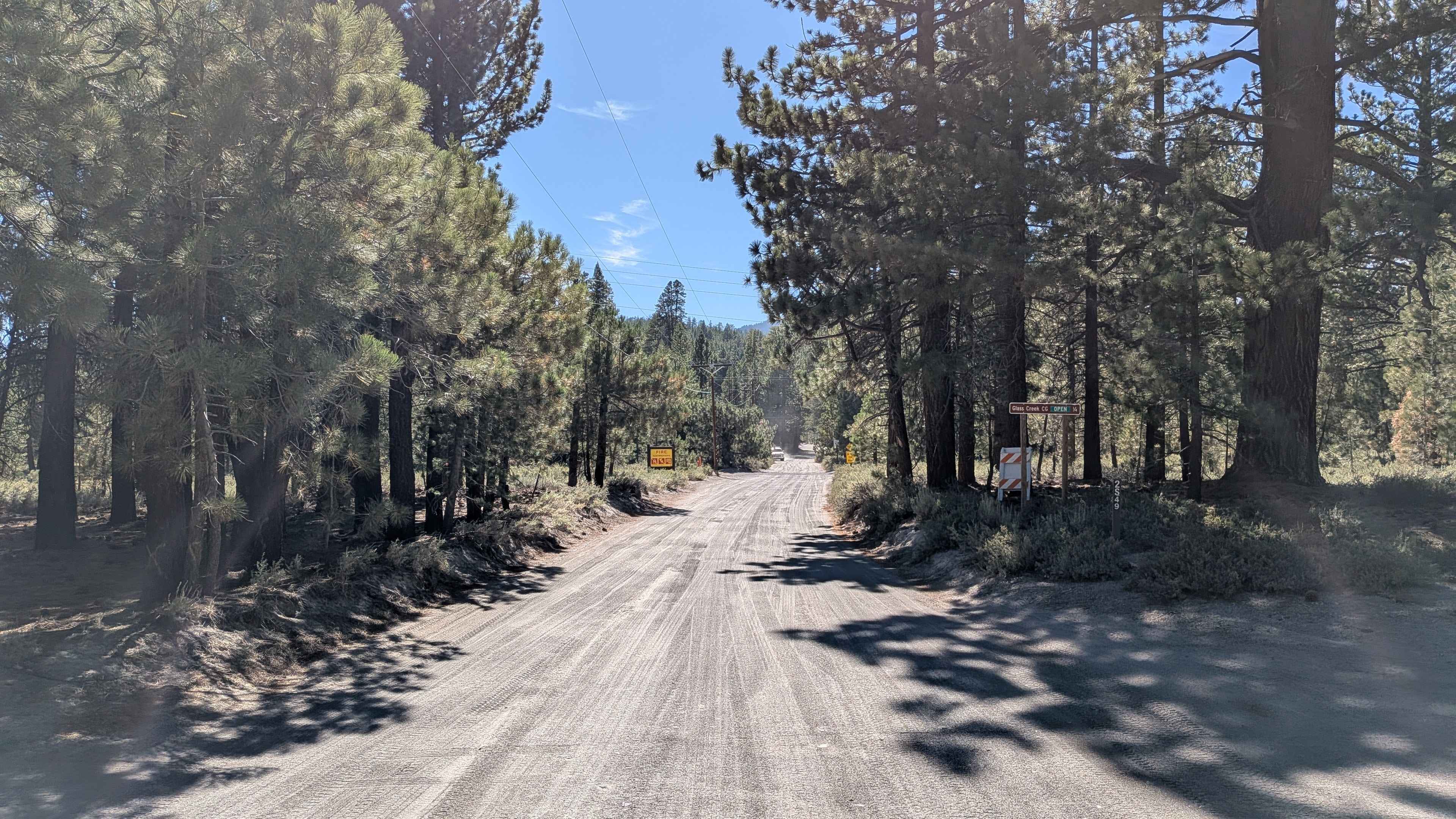
Learn more about Taylor Lake/Lucky S Mine/Kettle Rock Lookout Loop
Taylor Lake/Lucky S Mine/Kettle Rock Lookout Loop

Taylor Lake/Lucky S Mine/Kettle Rock Lookout Loop

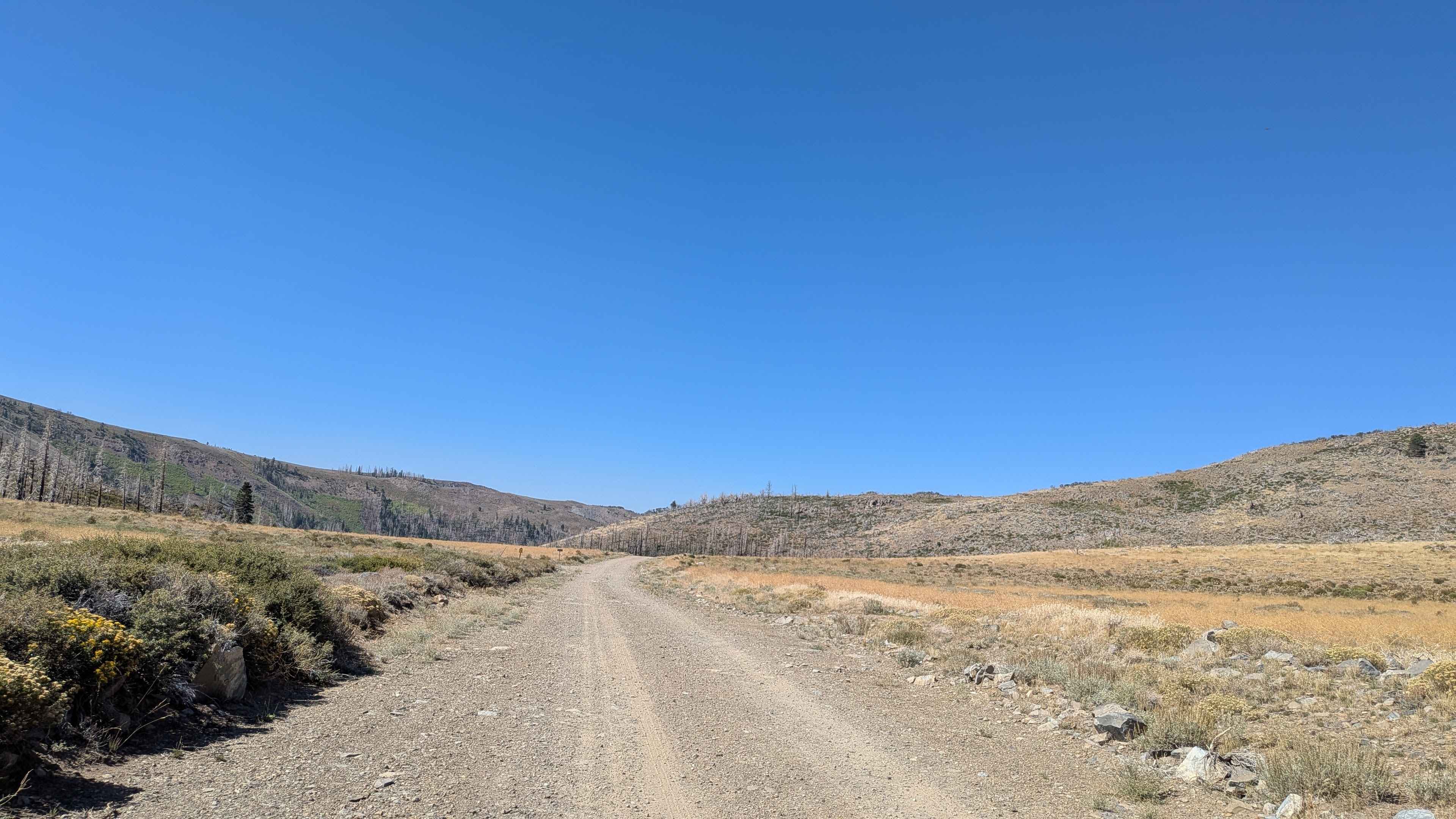
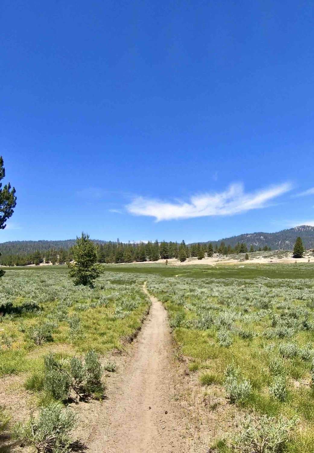
The trail has smooth flowing sections, loose, rocky climbs, and hardpacked rocky roads with seasonal low water crossings. The road up to the lookout is steep with loose rock. Leading up to and past Taylor…
Learn more about Taylor Lake/Lucky S Mine/Kettle Rock Lookout Loop
Total Miles
19.0
Tech Rating
3 Easy
Best Time
Spring, Summer, Fall
Learn more about Teagle Wash Road
Teagle Wash Road

Teagle Wash Road

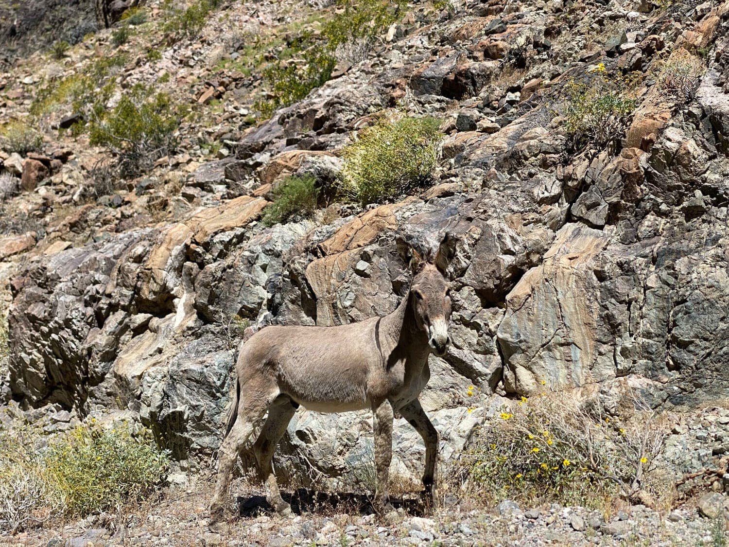
This is an easy trail if you do not want to get out taking the same popular trail and getting into Trona Pinnacles. It is easy for off-road beginners with almost all stock 4WD and…
Learn more about Teagle Wash Road
Total Miles
5.6
Tech Rating
3 Easy
Best Time
Spring, Summer, Fall
Learn more about Tecate Peak
Tecate Peak

Tecate Peak

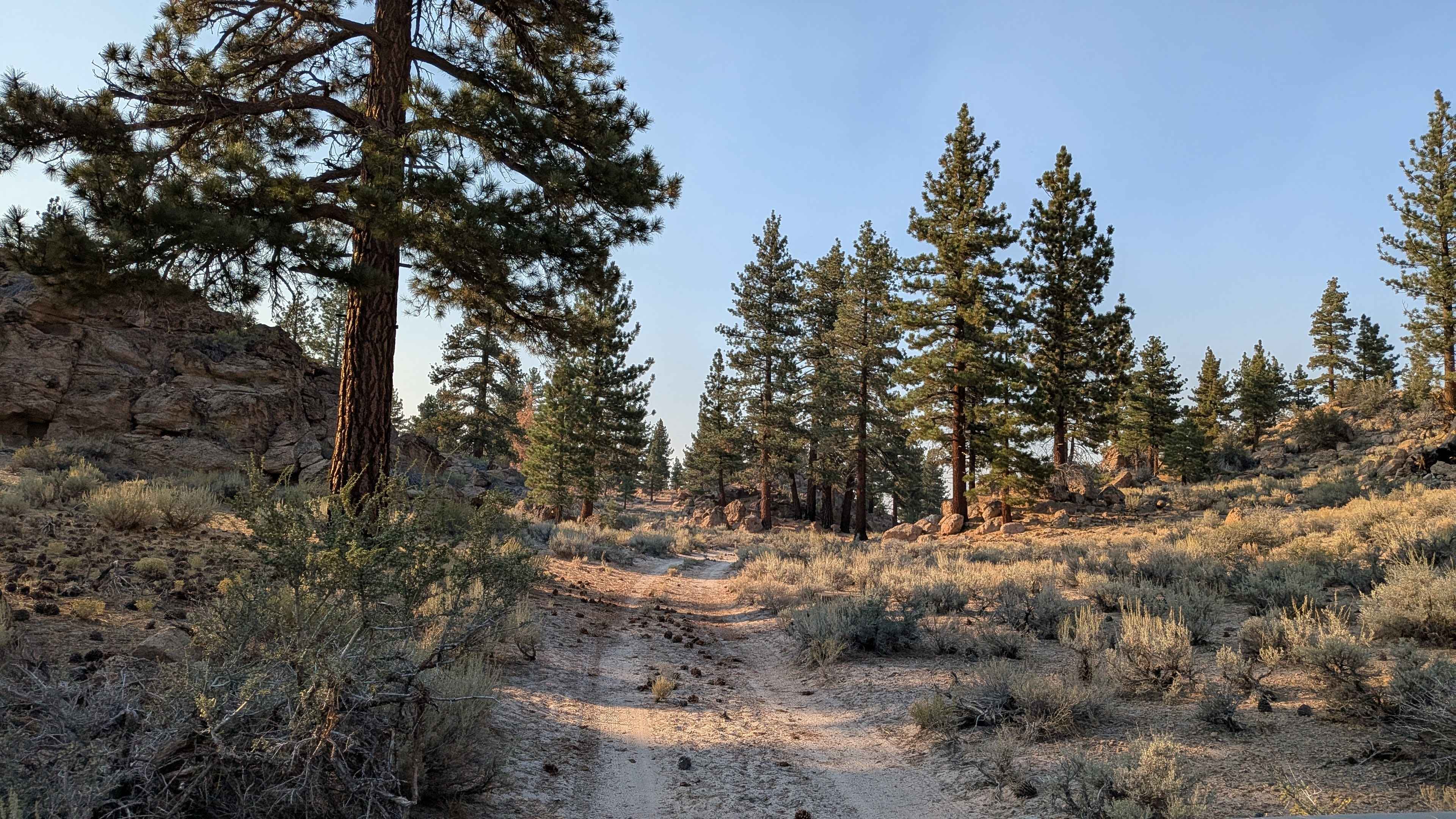
This is a pretty mellow 2-track road leading to the top of Tecate Peak. The lower part of the trail is a grave road. If there has been a lot of rain, expect ruts! There…
Learn more about Tecate Peak
Total Miles
6.5
Tech Rating
3 Easy
Best Time
Spring
Learn more about Technical Rip Along Trona Road
Technical Rip Along Trona Road

Technical Rip Along Trona Road

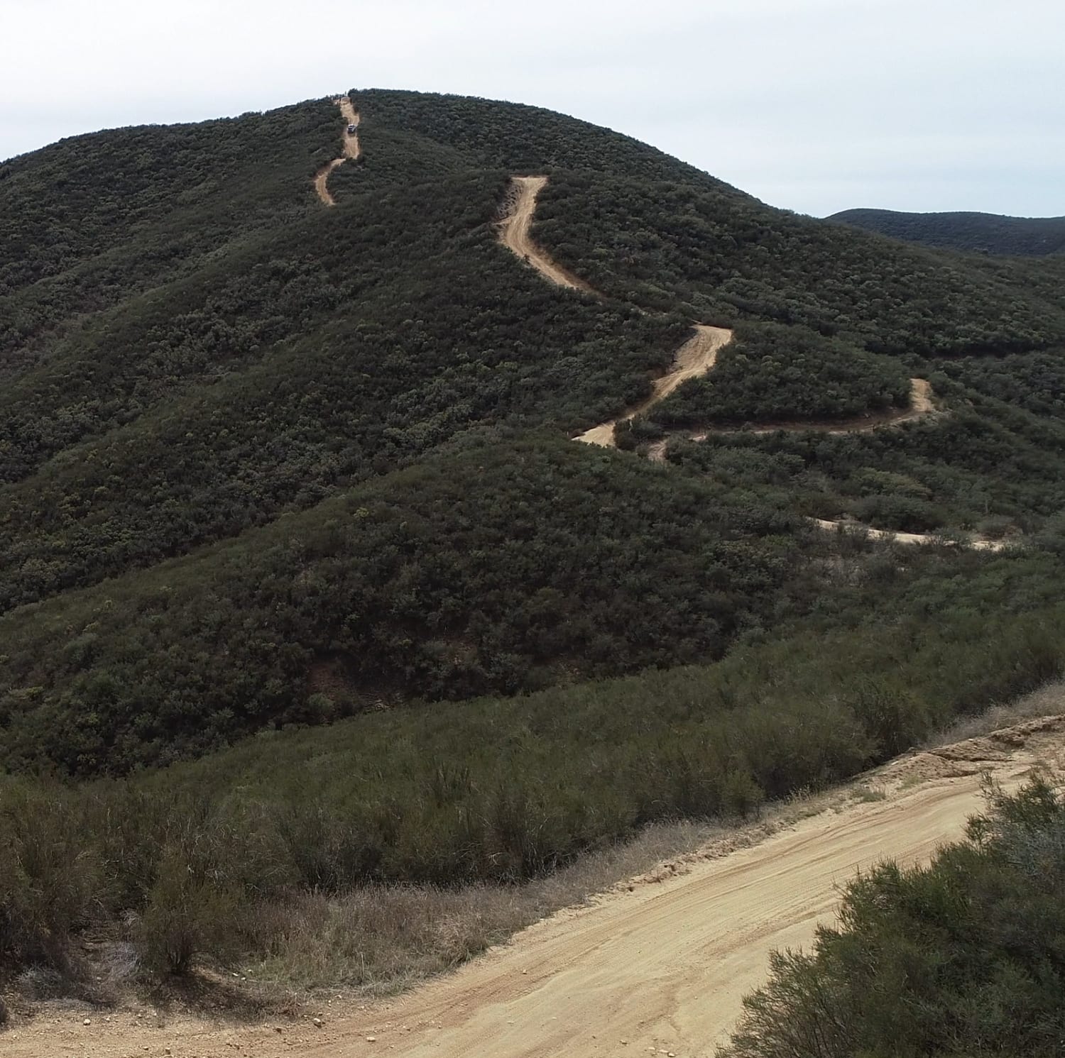
This trail has some serious off-camber sections, steep loose rocky hills, very narrow sections, and washouts galore. There are large and longer rhythm sections of whoops and last-minute turns. Overall it's a pretty fun trail…
Learn more about Technical Rip Along Trona Road
Total Miles
2.7
Tech Rating
6 Moderate
Best Time
Winter, Fall, Spring
Learn more about Texas Canyon Road 5N14
Texas Canyon Road 5N14

Texas Canyon Road 5N14

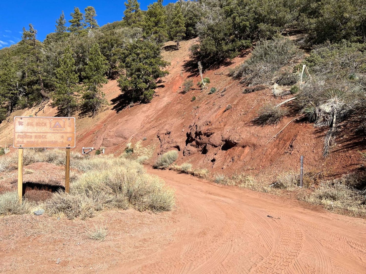
Texas Canyon Road is the north fork continuing from Rush Canyon Road. During most of the year, this road is an easy road to get to Rowher Flats black diamond trail and the open play…
Learn more about Texas Canyon Road 5N14
Total Miles
1.9
Tech Rating
4 Moderate
Best Time
Spring, Summer, Fall, Winter
Learn more about The "Shooting Range" Quarry
The

The "Shooting Range" Quarry

This out and back trail ends at a small turnaround loop with a great view. A short side trail heads up to the old abandoned mine, which features a few flat dispersed camping spots and…
Learn more about The "Shooting Range" Quarry
Total Miles
1.7
Tech Rating
2 Easy
Best Time
Winter, Fall, Spring
Learn more about The Back-way to Imperial Gables
The Back-way to Imperial Gables

The Back-way to Imperial Gables

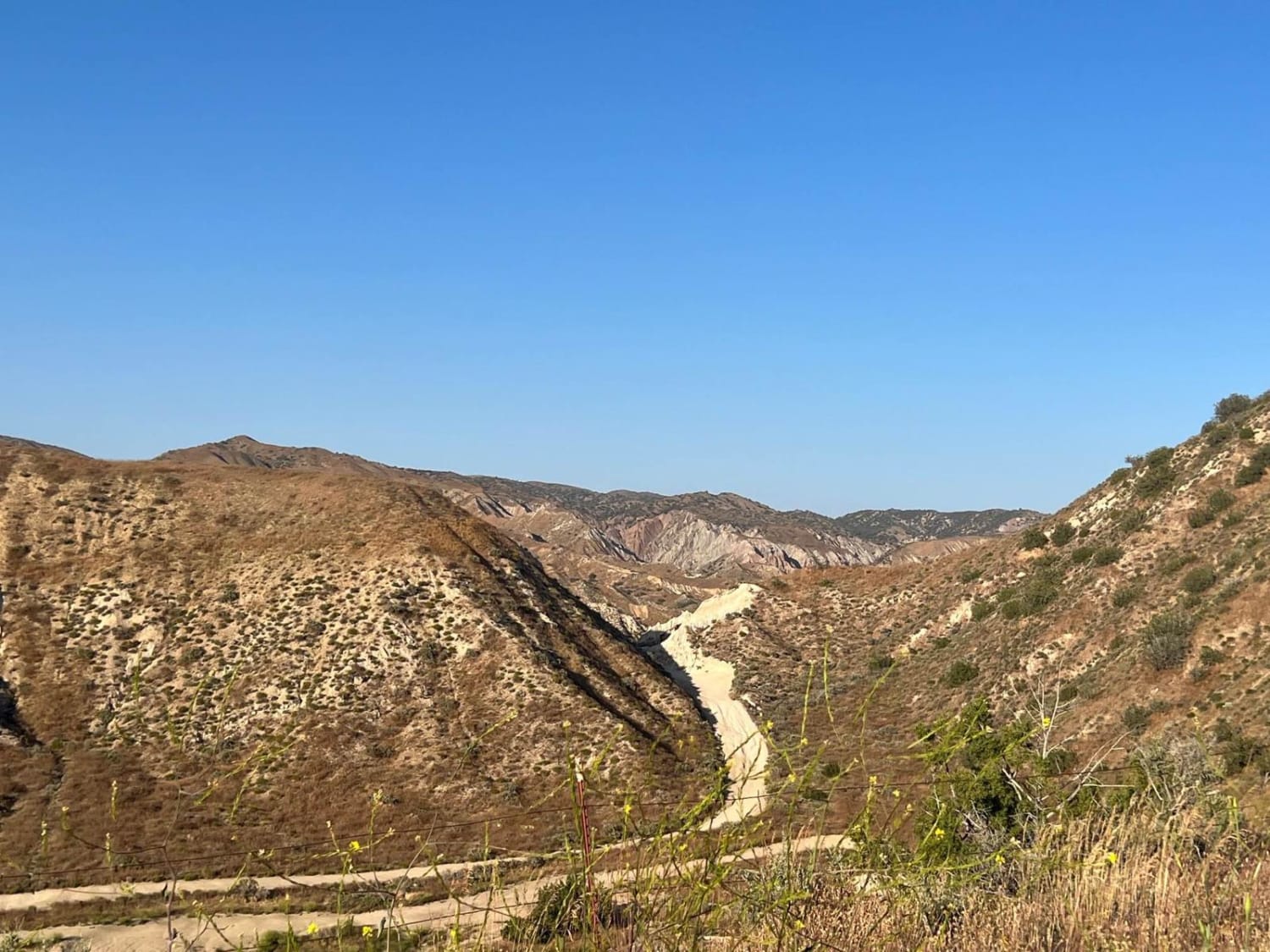
This more fun route to the ghost-like town of Imperial Gables takes the traveler through a soft sand wash for most of the run. It will eventually pop out of the wash onto loose off-camber…
Learn more about The Back-way to Imperial Gables
Total Miles
4.5
Tech Rating
3 Easy
Best Time
Spring, Fall
Learn more about The Easy Route to Trona Pinnacles
The Easy Route to Trona Pinnacles

The Easy Route to Trona Pinnacles

The main (occasionally) graded route to get to Trona Pinnacles. This hard-packed washboard road takes you across the desert and across the shortest operating railroad in America. Be sure to stop and check for trains…
Learn more about The Easy Route to Trona Pinnacles
Total Miles
4.7
Tech Rating
1 Easy
Best Time
Spring, Fall, Winter
Learn more about The Escape Trail
The Escape Trail

The Escape Trail

The Escape Trail is a historical route dating back to 1850 and is a remote way into Death Valley offering scenic views and a historical element. 14 miles in length, this route out of, or…
Learn more about The Escape Trail
Total Miles
8.4
Tech Rating
4 Moderate
Best Time
Spring, Fall
Learn more about The Highest Peak of the Sierra Pelona
The Highest Peak of the Sierra Pelona

The Highest Peak of the Sierra Pelona

Take a quick, but pretty drive up to Burnt Peak. At 5,791' above sea level, this is the highest peak of the Sierra Pelona, which is one of the lower elevation ranges within California's Transverse…
Learn more about The Highest Peak of the Sierra Pelona
Total Miles
5.9
Tech Rating
2 Easy
Best Time
Spring, Fall, Summer
Learn more about The Main North to South Access Wash
The Main North to South Access Wash

The Main North to South Access Wash

A sandy run from the central valley to the northern open section. The wash is wide and allows for oncoming traffic to pass. The sand is generally more on the coarse side, lending to an…
Learn more about The Main North to South Access Wash
Total Miles
2.3
Tech Rating
3 Easy
Best Time
Fall, Winter, Spring
Learn more about The Mojave Road Temporary Re-Route
The Mojave Road Temporary Re-Route

The Mojave Road Temporary Re-Route

The Mojave Road experienced a large washout on Piute Pass, roughly 12 feet deep and 30 feet wide. The trail is currently closed along this portion of the track, and this is the recommended alternate…
Learn more about The Mojave Road Temporary Re-Route
Total Miles
5.9
Tech Rating
3 Easy
Best Time
Spring, Fall, Winter
Learn more about The Narrows
The Narrows

The Narrows

This is a challenging, but fun trail through the El Paso Mountains, known for the abandoned mines and cabins of years past, and amazing camping. The highlight of the trail is a narrow, rocky section…
Learn more about The Narrows
Total Miles
9.6
Tech Rating
4 Moderate
Best Time
Spring, Fall, Winter
Learn more about The Outs
The Outs

The Outs

A very scenic ride that leaves the Spangler OHV Area through an impressive garden of large boulders. There is one very technical section near the west end that can be bypassed by taking the trail…
Learn more about The Outs
Total Miles
2.7
Tech Rating
4 Moderate
Best Time
Winter, Fall, Spring
Learn more about The Reward Mine
The Reward Mine

The Reward Mine

A moderate trail that starts off on a broken road just off the 395 Freeway on Manzanar Reward Road. You will climb up and over the hillside where you will be welcomed with an experience…
Learn more about The Reward Mine
Total Miles
0.7
Tech Rating
4 Moderate
Best Time
Spring, Fall, Summer
Learn more about The Road Not to the Top of Sugarloaf
The Road Not to the Top of Sugarloaf

The Road Not to the Top of Sugarloaf

Have you always wanted to see what is at the top of Sugarloaf Mountain? Me too; however, right as you arrive at the base of the mountain, there is a very heavy-duty gate with many…
Learn more about The Road Not to the Top of Sugarloaf
Total Miles
1.3
Tech Rating
2 Easy
Best Time
Winter, Fall, Spring
Learn more about The Road to Nowhere
The Road to Nowhere

The Road to Nowhere

Out and back trail. Steep, rocky terrain that winds tightly through the trees. There are two steep climbs that have soft dirt and rocks requiring the driver to maneuver around two very large trees. This…
Learn more about The Road to Nowhere
Total Miles
2.0
Tech Rating
5 Moderate
Best Time
Summer, Fall
Learn more about The Rocky Narrows
The Rocky Narrows

The Rocky Narrows

A beautiful alternate route in the Inyo Mountains that can be run as a loop with Papoose Flat Road, or as a connecter to the nearby Mazourka Canyon portion of the CABDR trail. The trail…
Learn more about The Rocky Narrows
Total Miles
14.7
Tech Rating
4 Moderate
Best Time
Summer, Fall
Learn more about The Rut
The Rut

The Rut

This is a lightly traveled trail with a dirt floor. Uneven, rutted dirt trail with erosion. Potential water crossings up to a foot deep, in the winter, and in some spots the rut is 3ft…
Learn more about The Rut
Total Miles
3.0
Tech Rating
3 Easy
Best Time
Spring, Summer
Learn more about The Slot
The Slot

The Slot

There are several beautiful slot canyons like this in Anza-Borrego State Park (see Trail #79). Hiking the canyon is great fun, but be very careful; walls can collapse and rainstorms can flood the canyon in…
Learn more about The Slot
Total Miles
9.6
Tech Rating
5 Moderate
Best Time
Fall, Winter, Spring

Go Farther

Try onX Offroad Elite for free for a week — no strings attached. Get access to thousands of off-road dirt trails and snowmobile trails across the nation. View your favorite zones in 3D. Send trails to friends. Start planning the trip of a lifetime now.