Off-Road Trails in California
Discover off-road trails in California
Learn more about Coxey Road - FS 3N14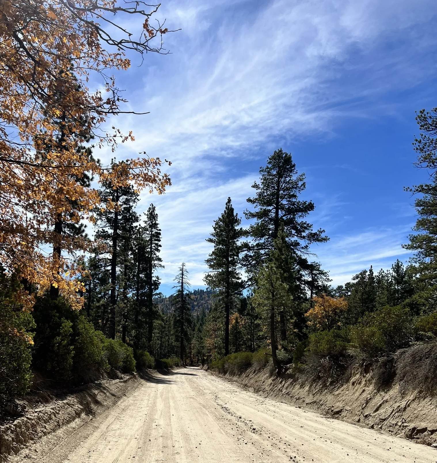
Coxey Road - FS 3N14
Total Miles
19.5
Tech Rating
Easy
Best Time
Spring, Summer, Fall
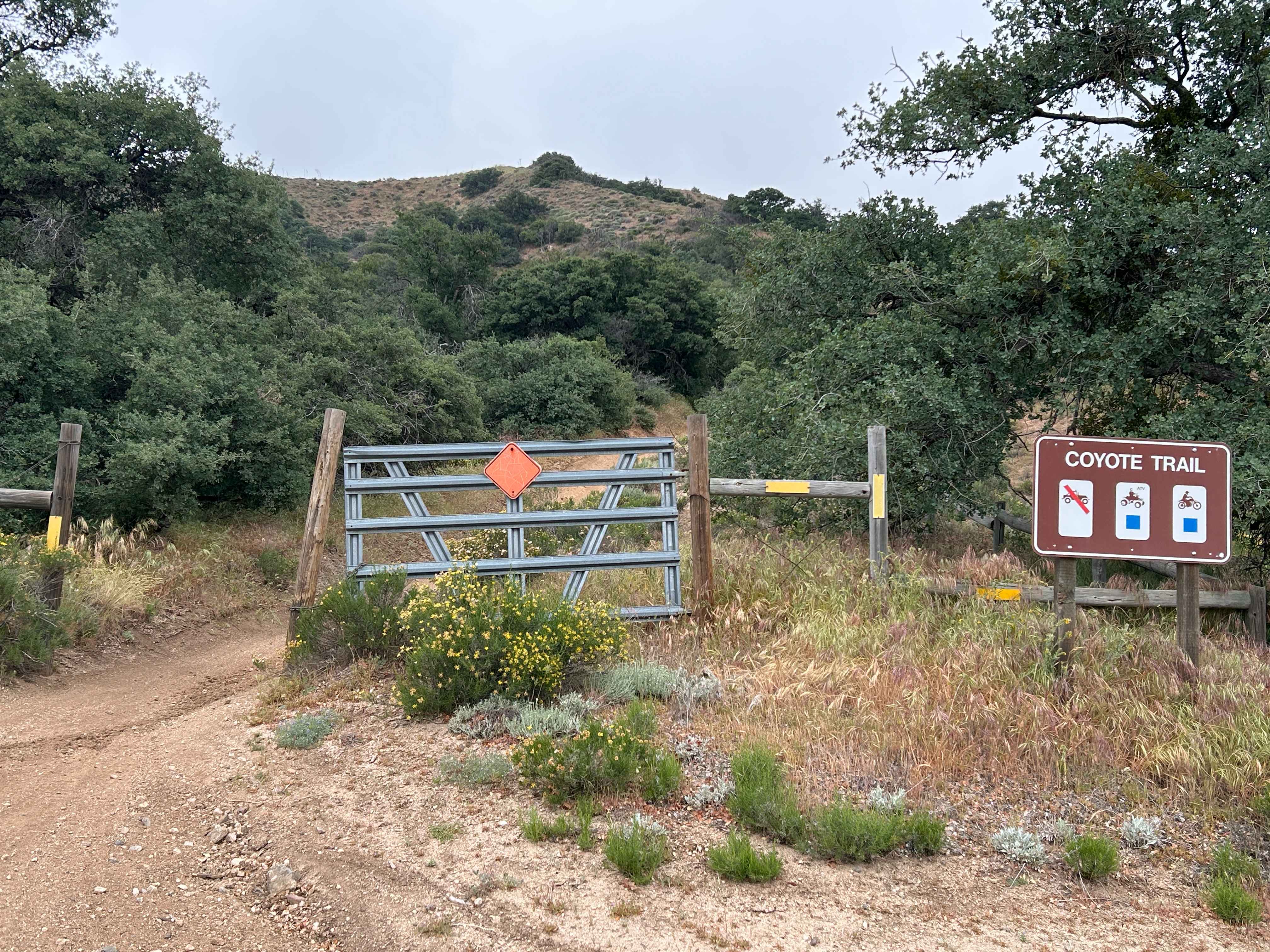
Learn more about Coyote - FS 2N15Y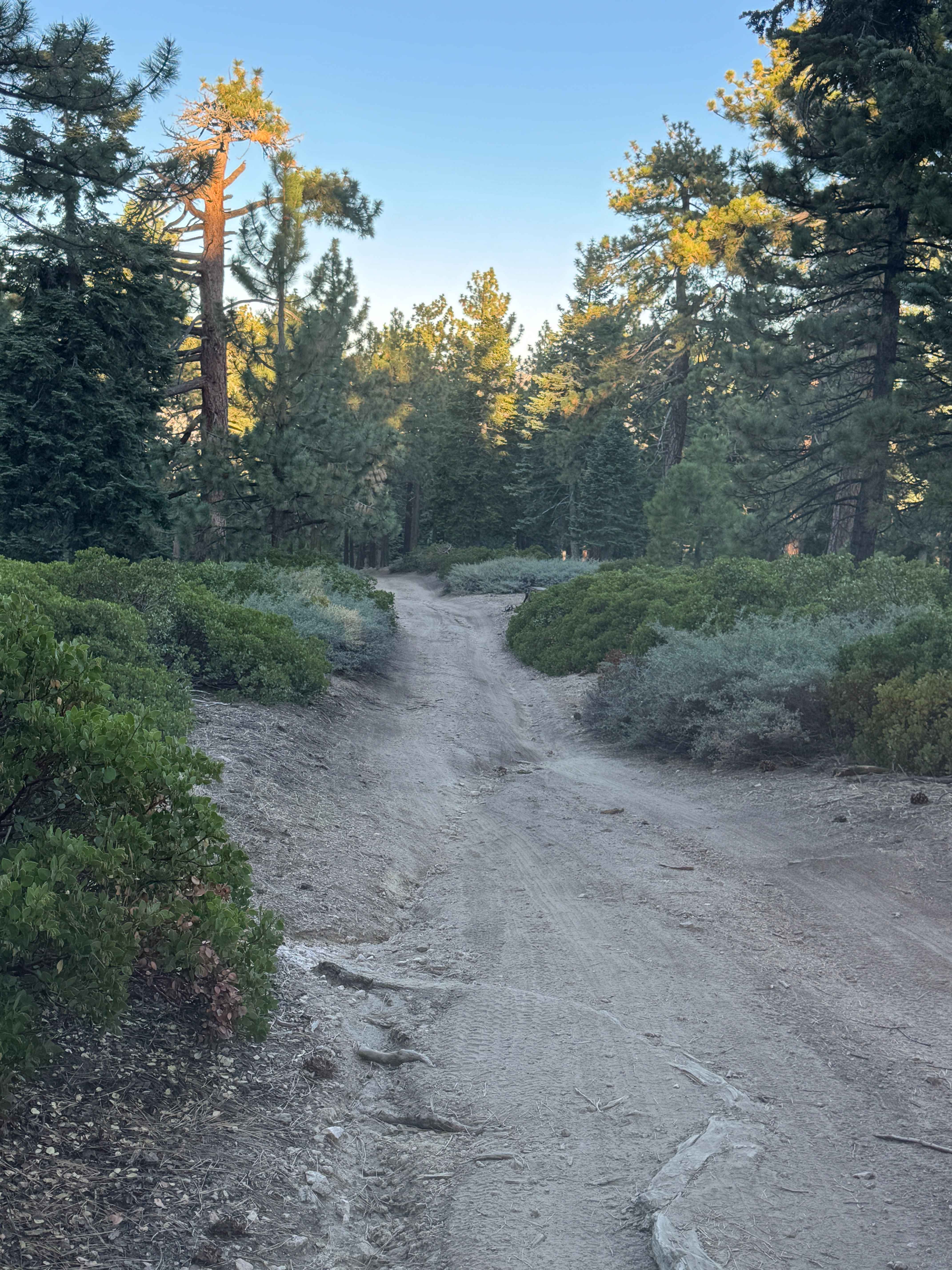
Coyote - FS 2N15Y
Total Miles
1.0
Tech Rating
Moderate
Best Time
Spring, Summer, Fall
Learn more about Coyote Campout
Coyote Campout
Total Miles
0.2
Tech Rating
Easy
Best Time
Spring, Summer, Winter
Learn more about Coyote Canyon Road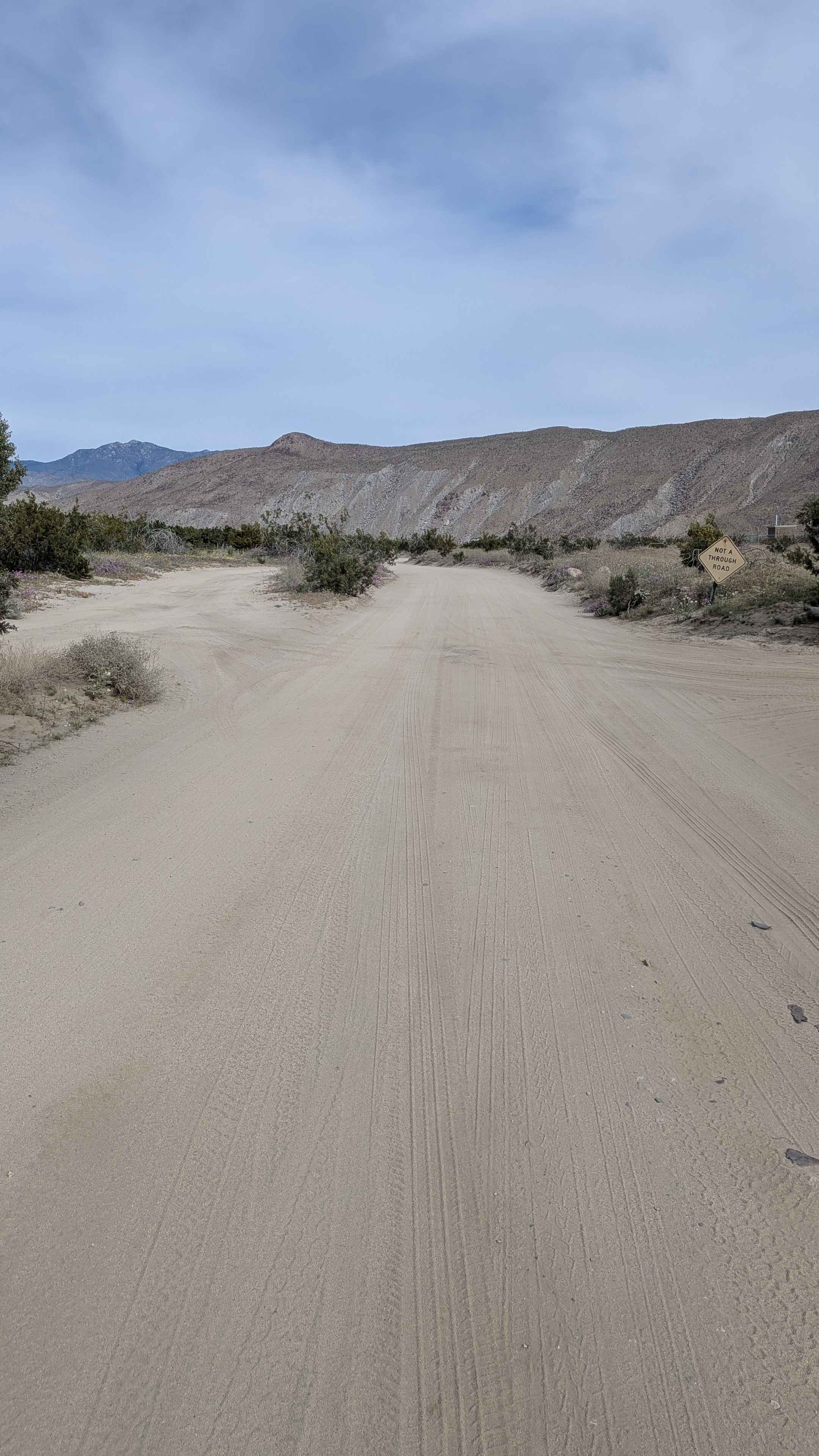
Coyote Canyon Road
Total Miles
5.2
Tech Rating
Easy
Best Time
Winter, Fall, Spring
Learn more about Coyote Flats FS7S10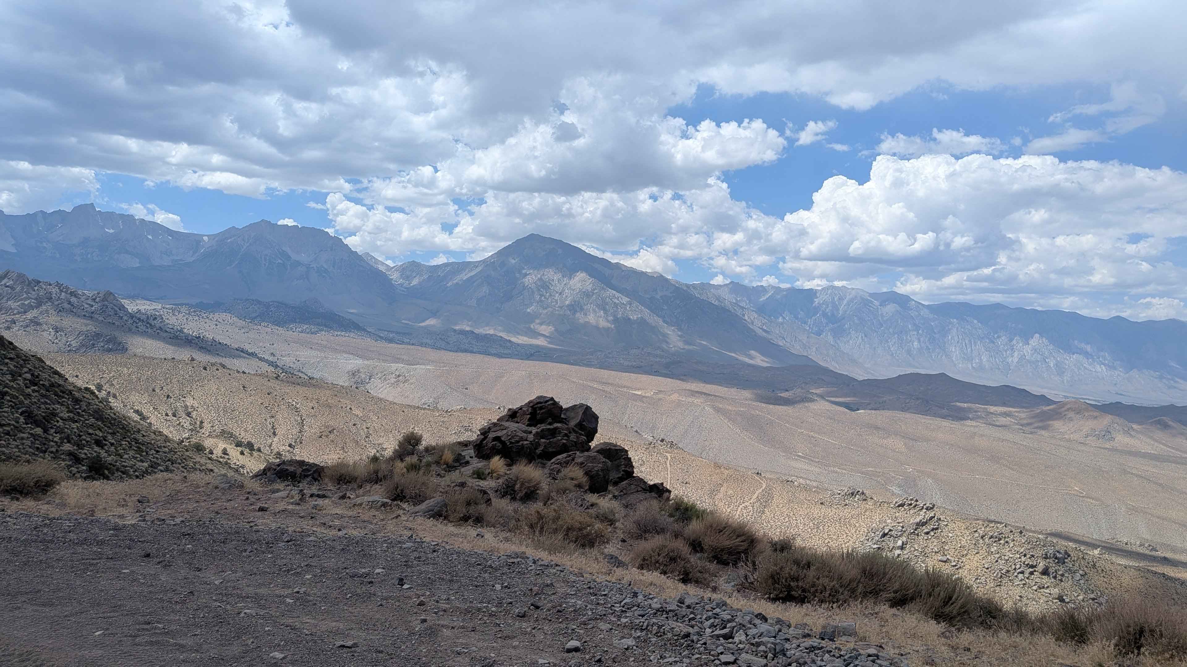
Coyote Flats FS7S10
Total Miles
7.7
Tech Rating
Moderate
Best Time
Summer, Fall
Learn more about Coyote Flats to Funnel Lake
Coyote Flats to Funnel Lake
Total Miles
17.5
Tech Rating
Moderate
Best Time
Spring, Summer, Fall
Learn more about Coyote Lake Trail - FS 31E304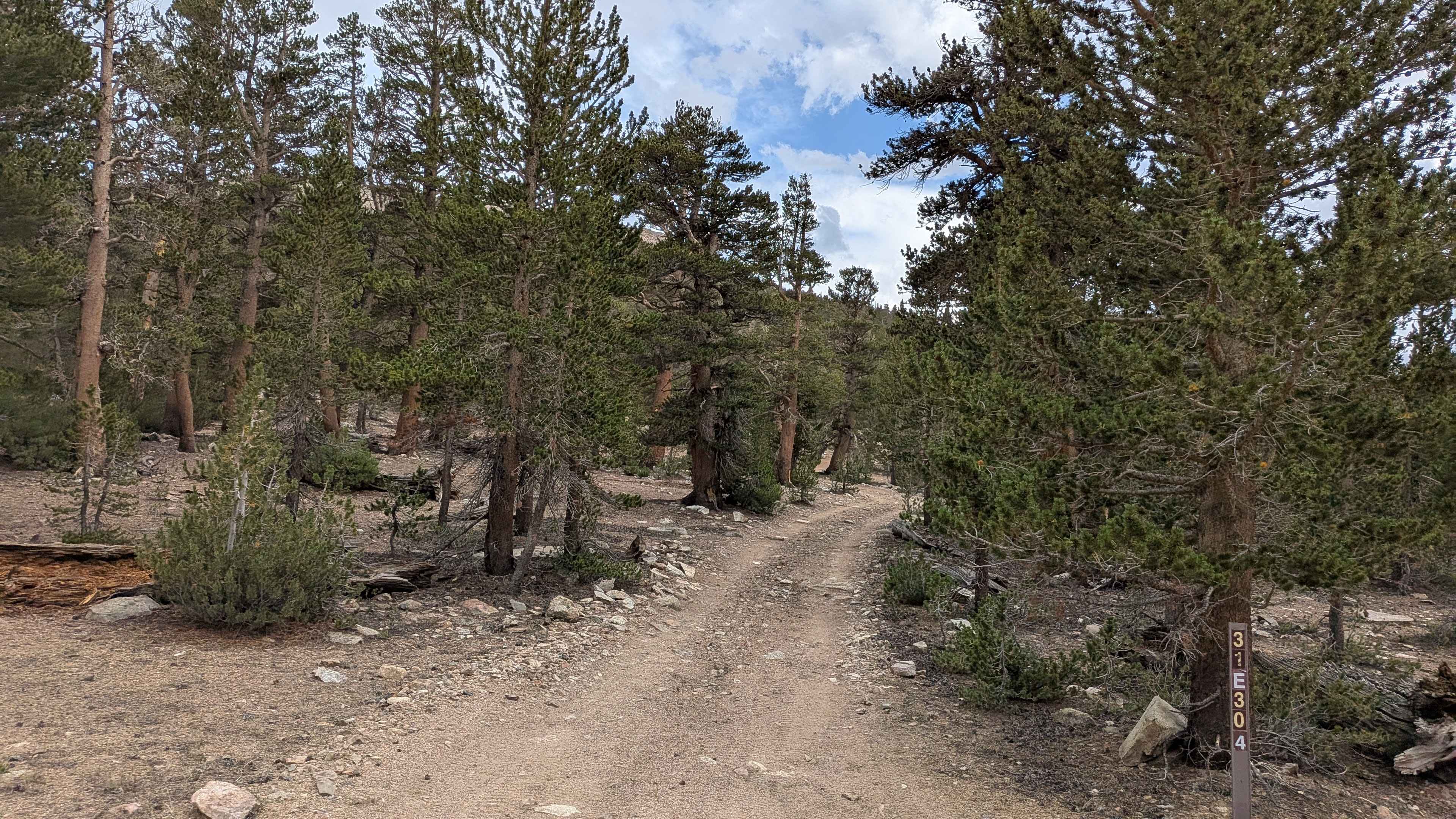
Coyote Lake Trail - FS 31E304
Total Miles
1.7
Tech Rating
Easy
Best Time
Summer, Fall
Learn more about Coyote Springs Road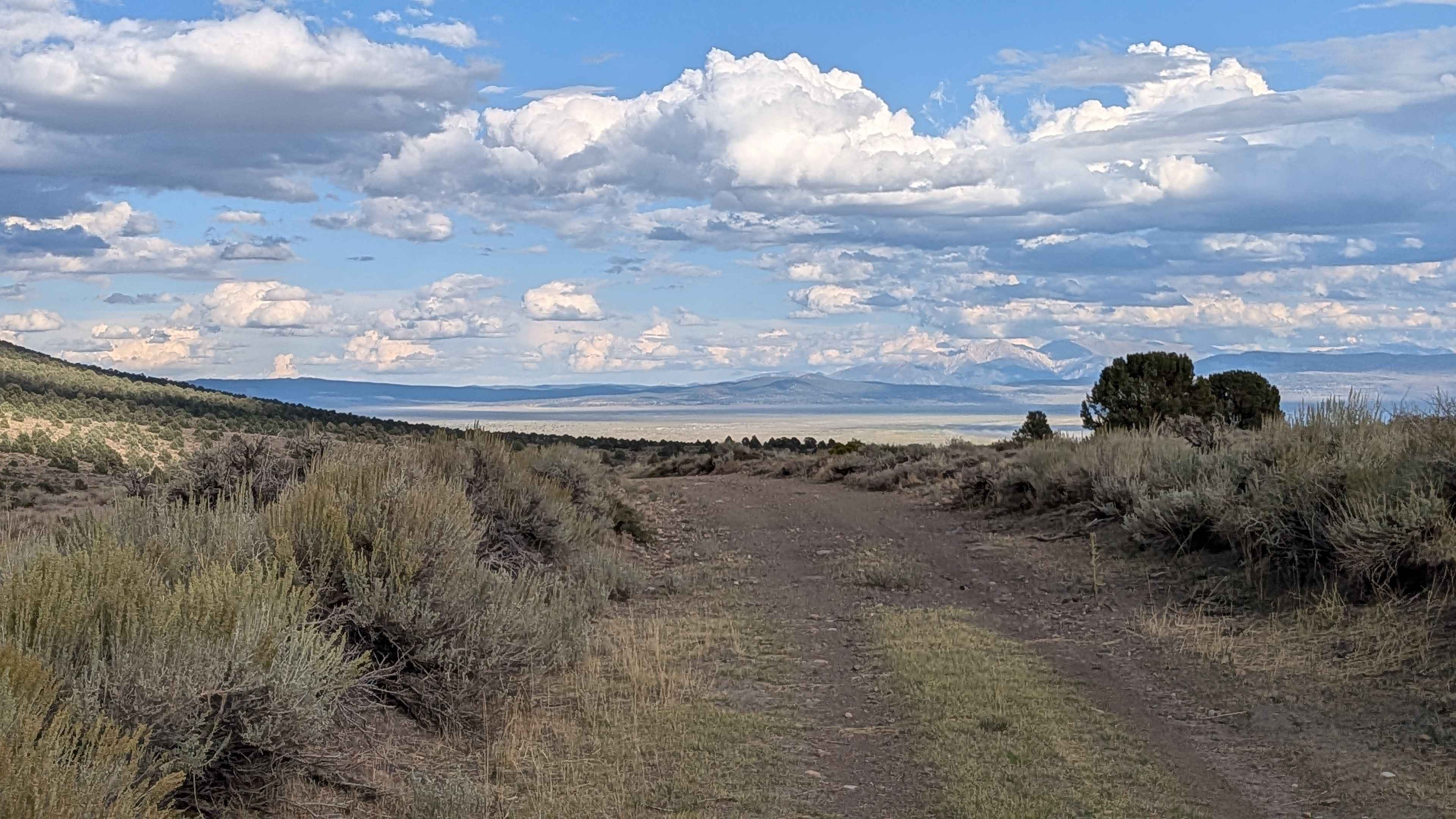
Coyote Springs Road
Total Miles
6.5
Tech Rating
Easy
Best Time
Fall, Summer
Learn more about Coyote Valley Road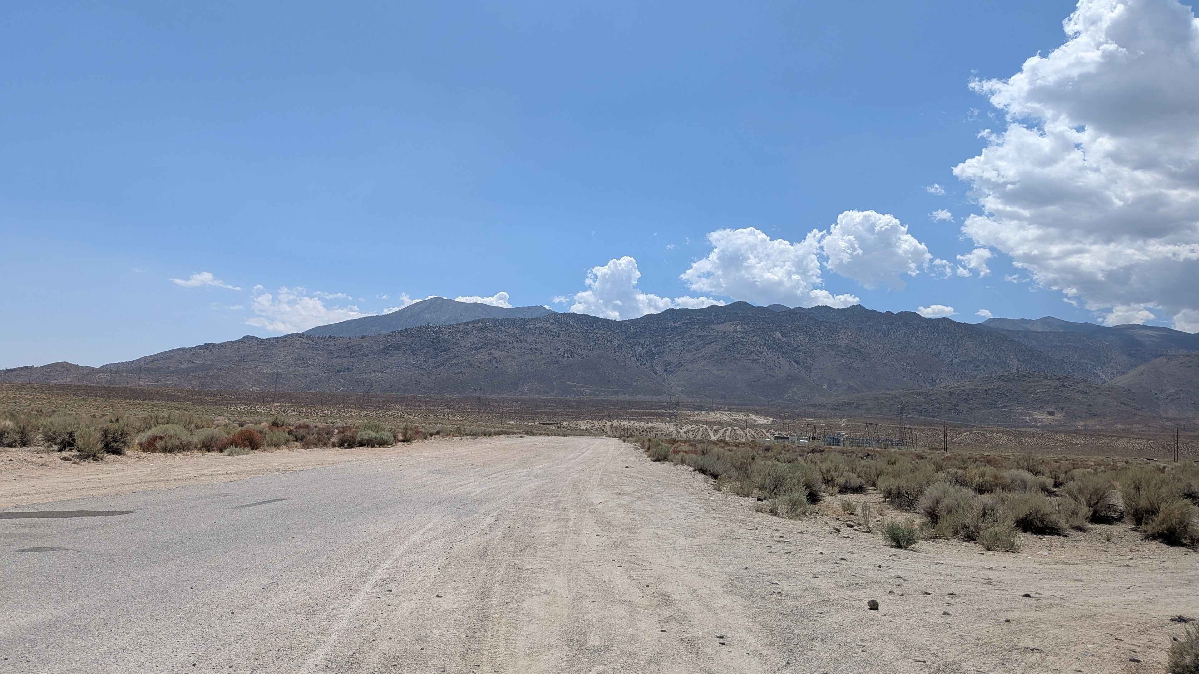
Coyote Valley Road
Total Miles
3.9
Tech Rating
Easy
Best Time
Fall, Summer, Spring
Learn more about CP Bull Pit Rec Site - BLM 543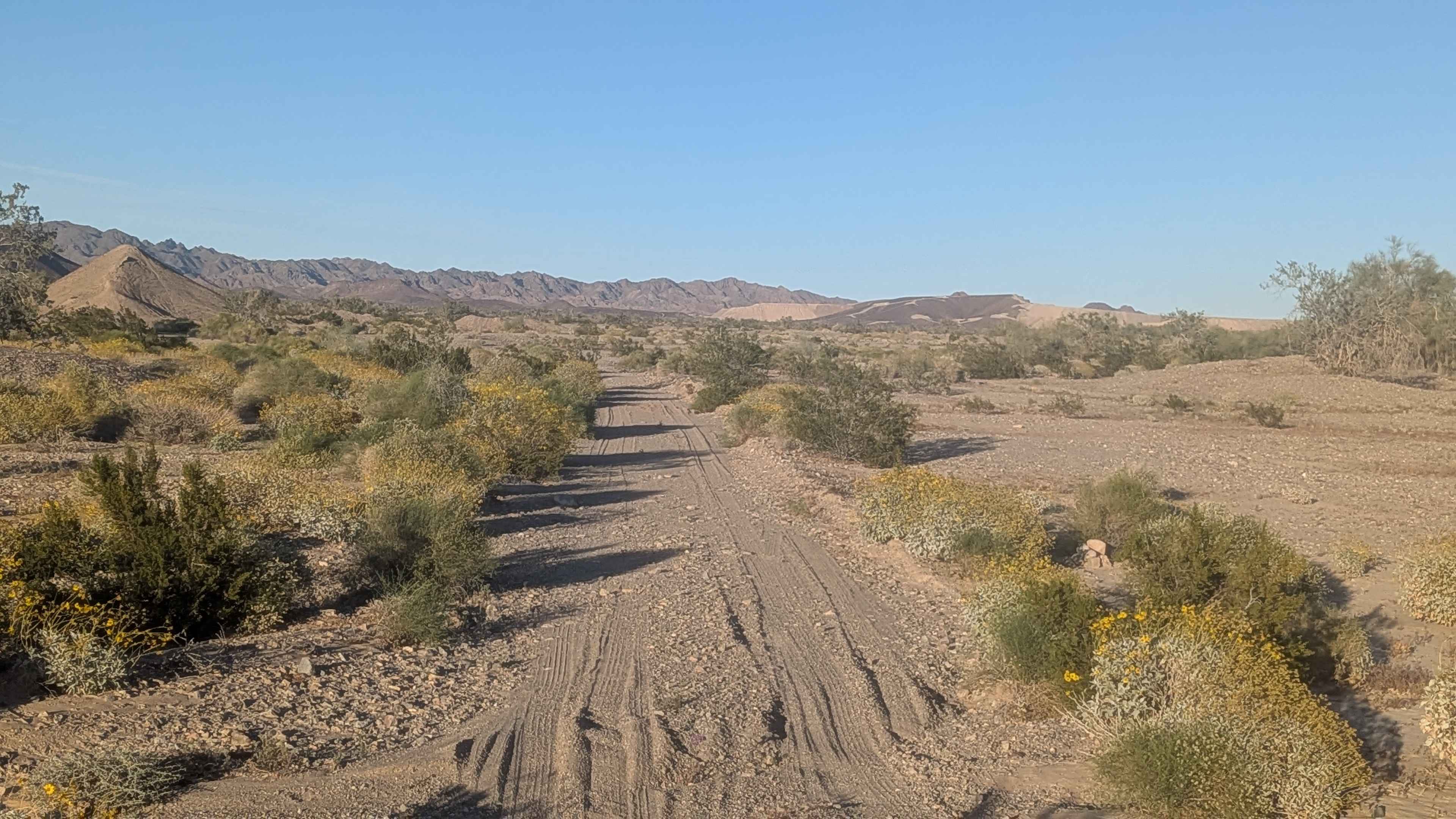
CP Bull Pit Rec Site - BLM 543
Total Miles
1.9
Tech Rating
Easy
Best Time
Fall, Winter, Spring

Learn more about Crater Mountain - FS 1S18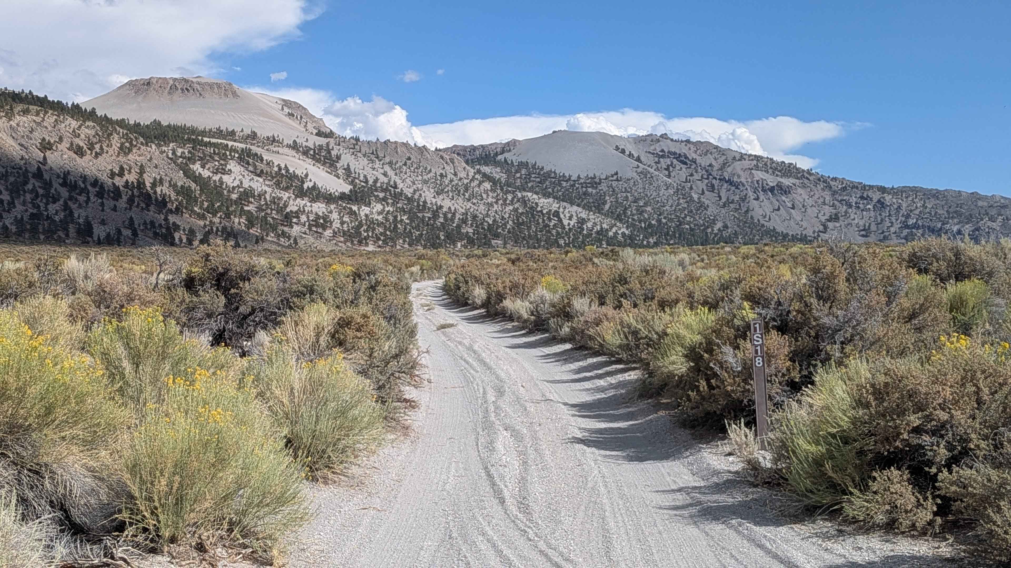
Crater Mountain - FS 1S18
Total Miles
1.7
Tech Rating
Easy
Best Time
Fall, Summer
Learn more about Crater Mountain Flats - FS 1S03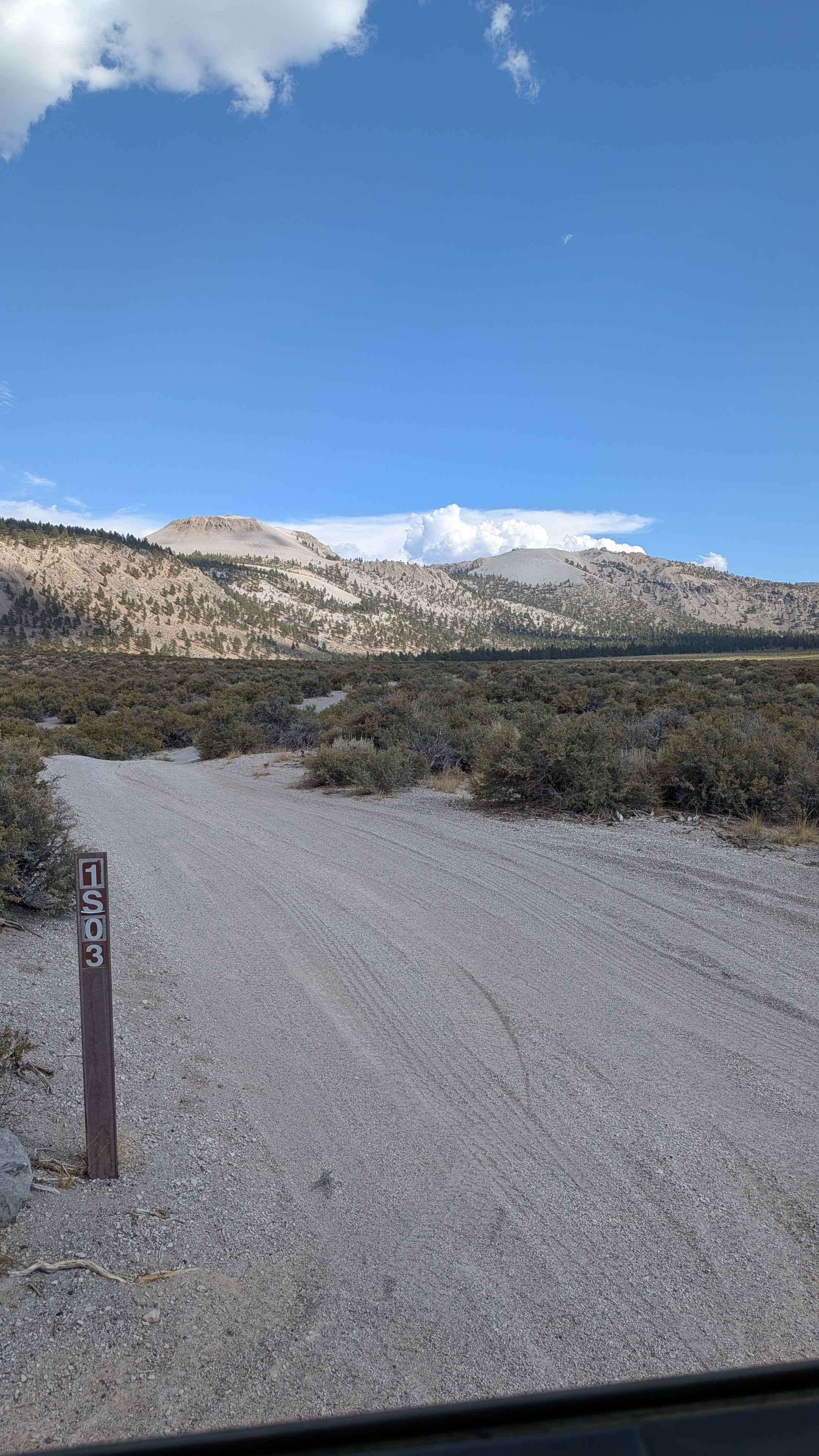
Crater Mountain Flats - FS 1S03
Total Miles
3.3
Tech Rating
Easy
Best Time
Summer, Fall, Spring
Learn more about Crater Mountain Loop
Crater Mountain Loop
Total Miles
22.4
Tech Rating
Easy
Best Time
Spring, Fall, Winter, Summer
Learn more about Creek Road - FS 32216
Creek Road - FS 32216
Total Miles
3.4
Tech Rating
Easy
Best Time
Fall, Summer
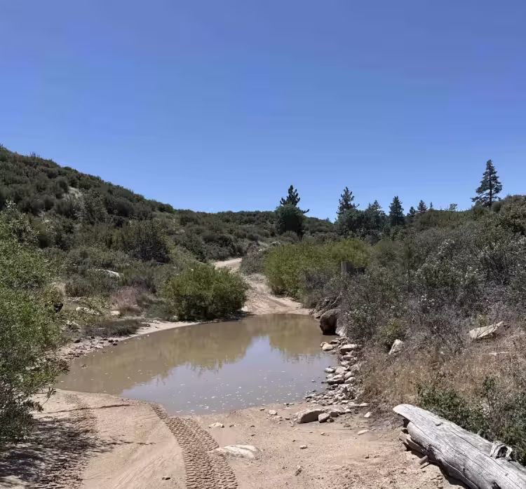
Learn more about Creosote Wash
Creosote Wash
Total Miles
2.9
Tech Rating
Moderate
Best Time
Winter, Fall, Spring
ATV trails in California


UTV/side-by-side trails in California


Learn more about 3N267 Fenner Saddle (4N12)
3N267 Fenner Saddle (4N12)
Total Miles
3.8
Tech Rating
Difficult
Best Time
Spring, Summer, Fall, Winter

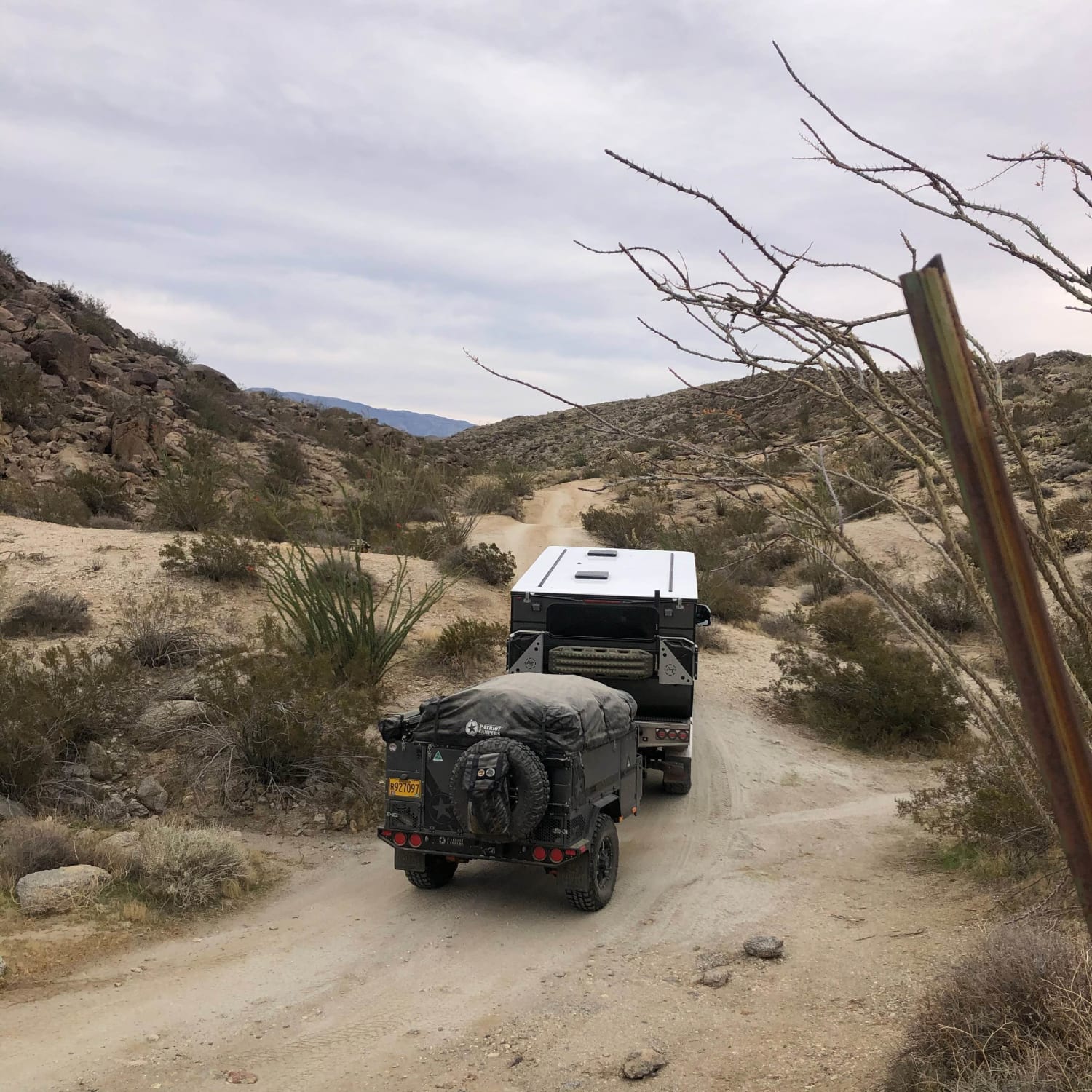
The onX Offroad Difference
onX Offroad combines trail photos, descriptions, difficulty ratings, width restrictions, seasonality, and more in a user-friendly interface. Available on all devices, with offline access and full compatibility with CarPlay and Android Auto. Discover what you’re missing today!