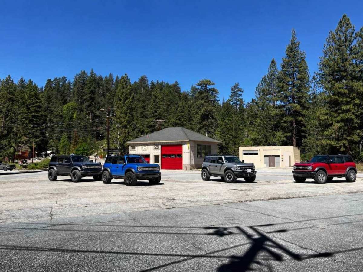
Trail Overview
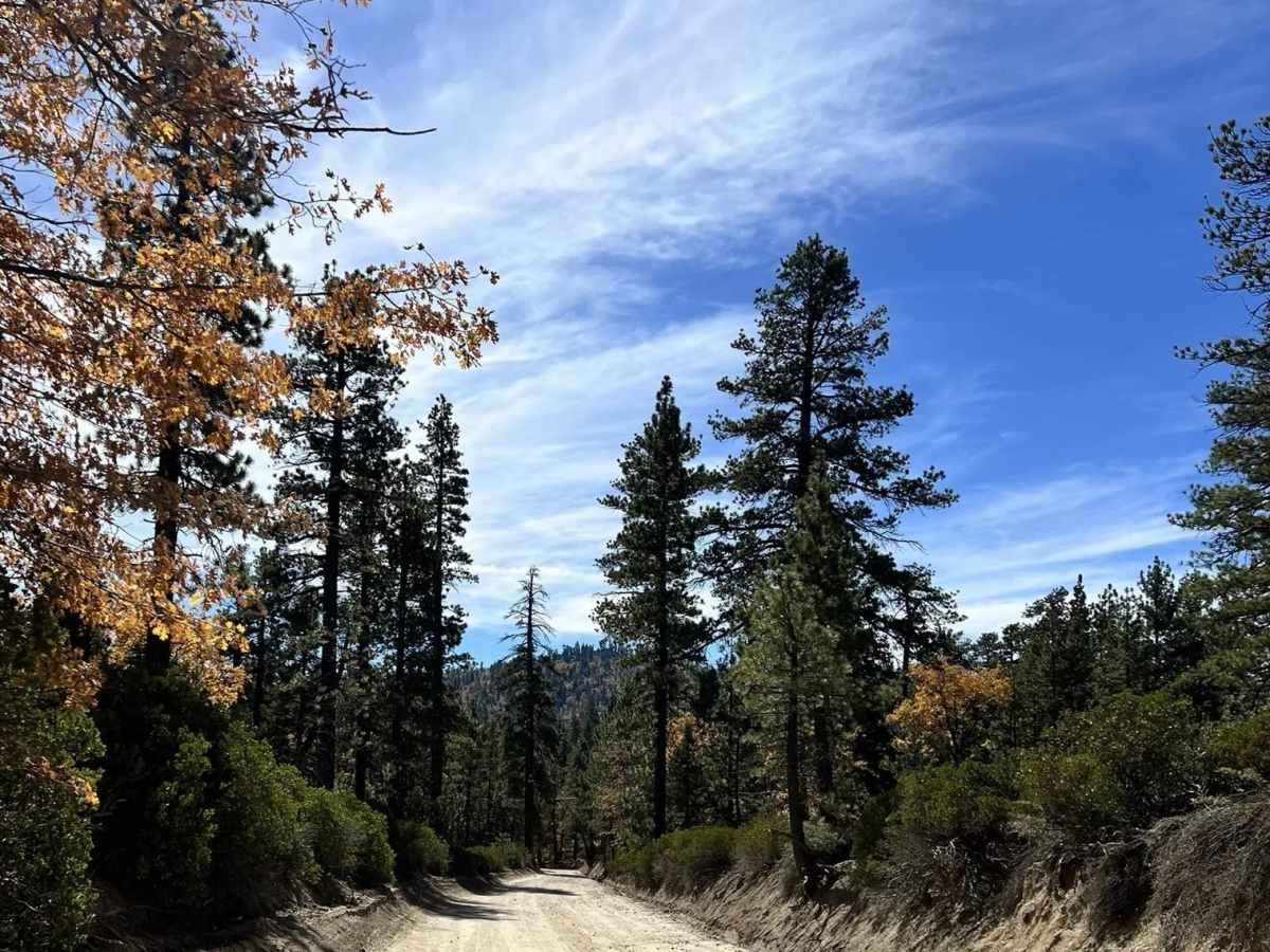
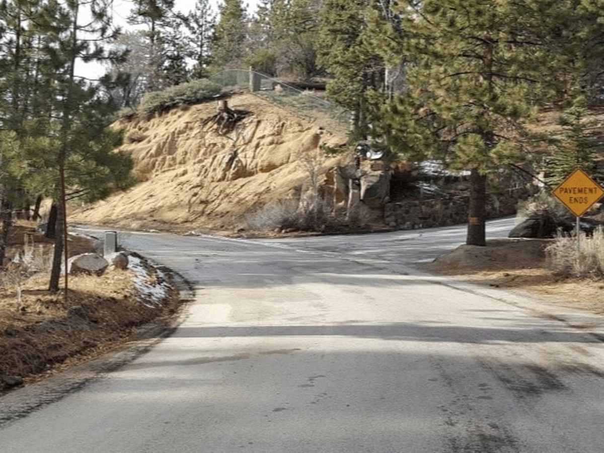
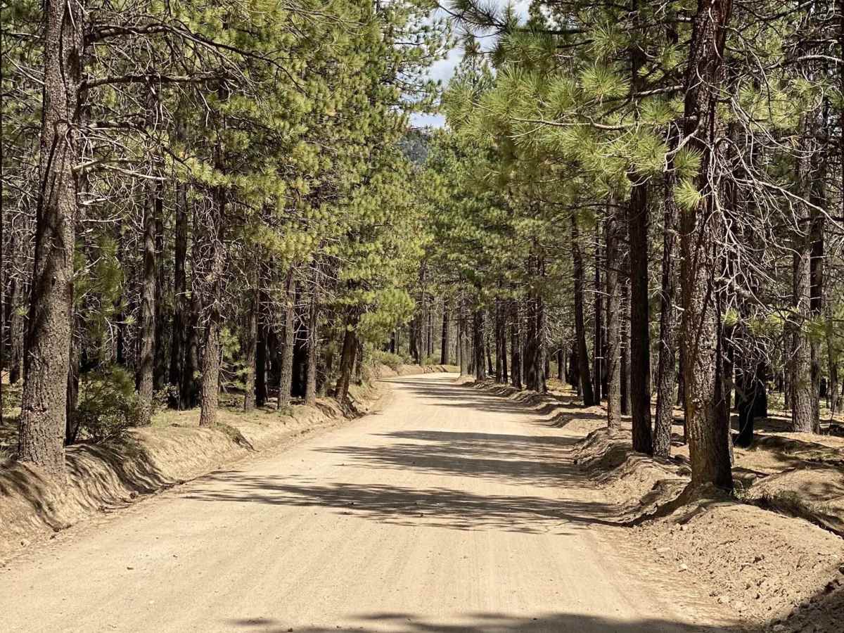
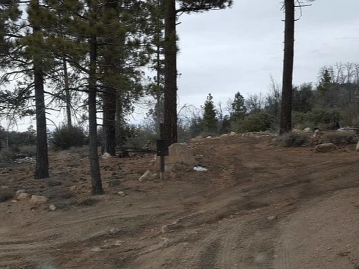
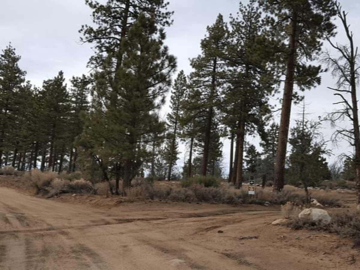
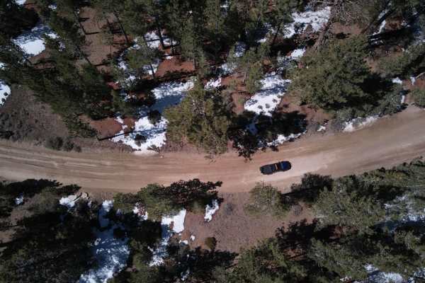
Coxey Road (3N14) is a long Forest Service connector route running from the north side of Big Bear Lake near Fawnskin all the way northwest to Lucerne Valley, where it terminates at Bowen Ranch Road. Starting near the lakeside forest communities, the road climbs through dense pine stands, passing access points for Hanna Flat Campground, YMCA Camp Whittle, and Big Pine Flats Campground. As it continues northwest, the route transitions away from the heavier recreation corridor and becomes more remote, eventually descending out of the higher-elevation forest toward the high desert. The northwestern end feels noticeably more isolated, with wider open terrain, fewer developed facilities, and access to desert-facing spur routes. Surface conditions vary from well-graded forest road near Fawnskin to rougher, washboard, and occasionally rutted sections farther out. Typically suitable for high-clearance 2WD in dry conditions, though snow, monsoon runoff, or washouts can increase difficulty.
Difficulty
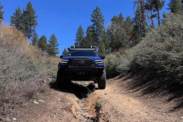
Coxey Road (3N14) is a maintained Forest Service road with a generally wide footprint and gradual grades. The surface is typically hard-packed dirt with light washboard and minor seasonal ruts. No technical obstacles are present in normal conditions. Suitable for most high-clearance vehicles and many stock SUVs in dry weather. Snow, rain, or washouts can temporarily increase difficulty, especially near the desert-facing northwest end.
History
Coxey Road (3N14) traces its roots to early access routes connecting the Big Bear basin with the high desert communities of Lucerne Valley. Portions of the corridor evolved from late 1800s mining and ranching routes tied to activity in the nearby Holcomb Valley mining district. As gold prospecting expanded in the San Bernardino Mountains, primitive wagon roads were established to move supplies, equipment, and ore between the mountains and desert settlements. Over time, the route was improved and incorporated into the developing Forest Service transportation network within the San Bernardino National Forest. Today, 3N14 serves as a multi-use recreation corridor linking forest campgrounds, historic mining areas, and desert access points, while still following much of the terrain that supported early settlement and resource extraction in the region.