Coyote Canyon
Total Miles
9.2
Technical Rating
Best Time
Trail Type
Accessible By
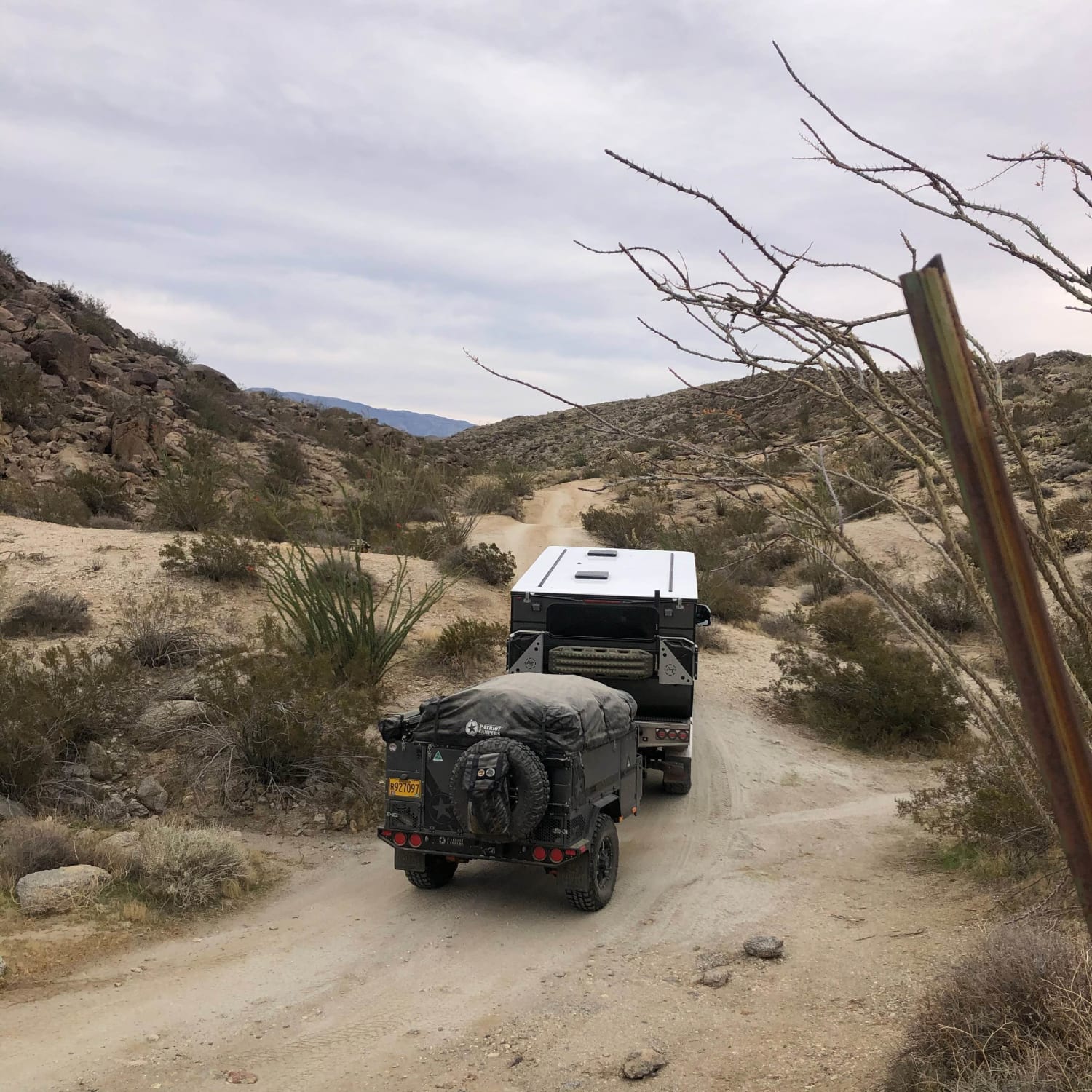
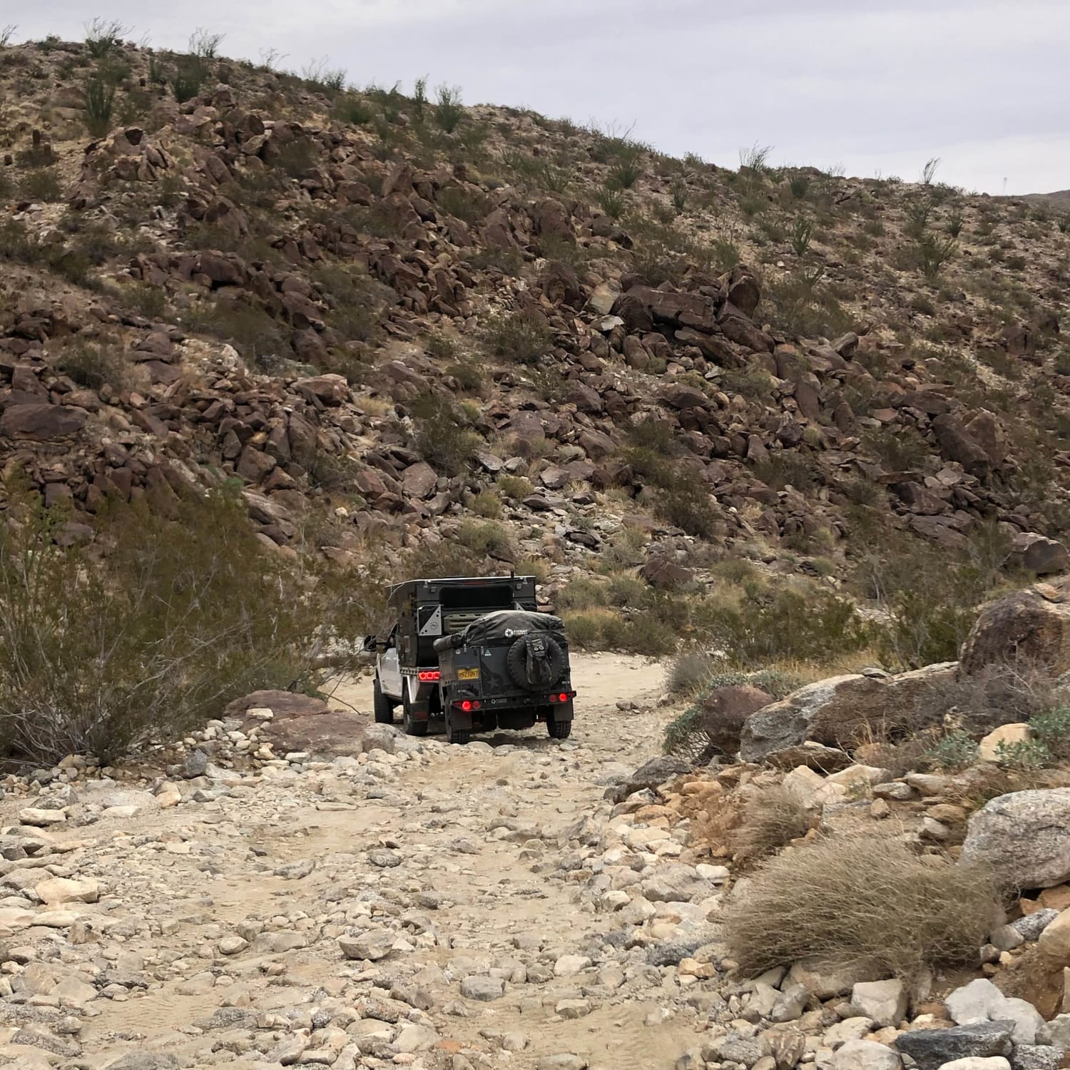
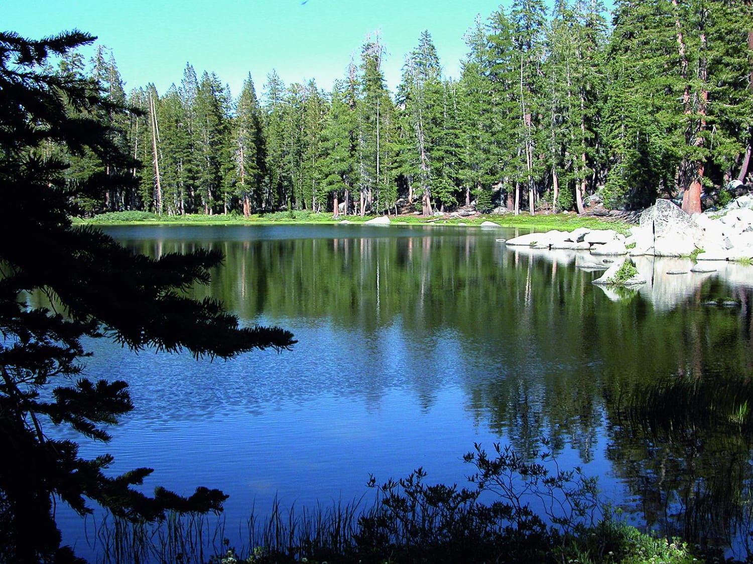
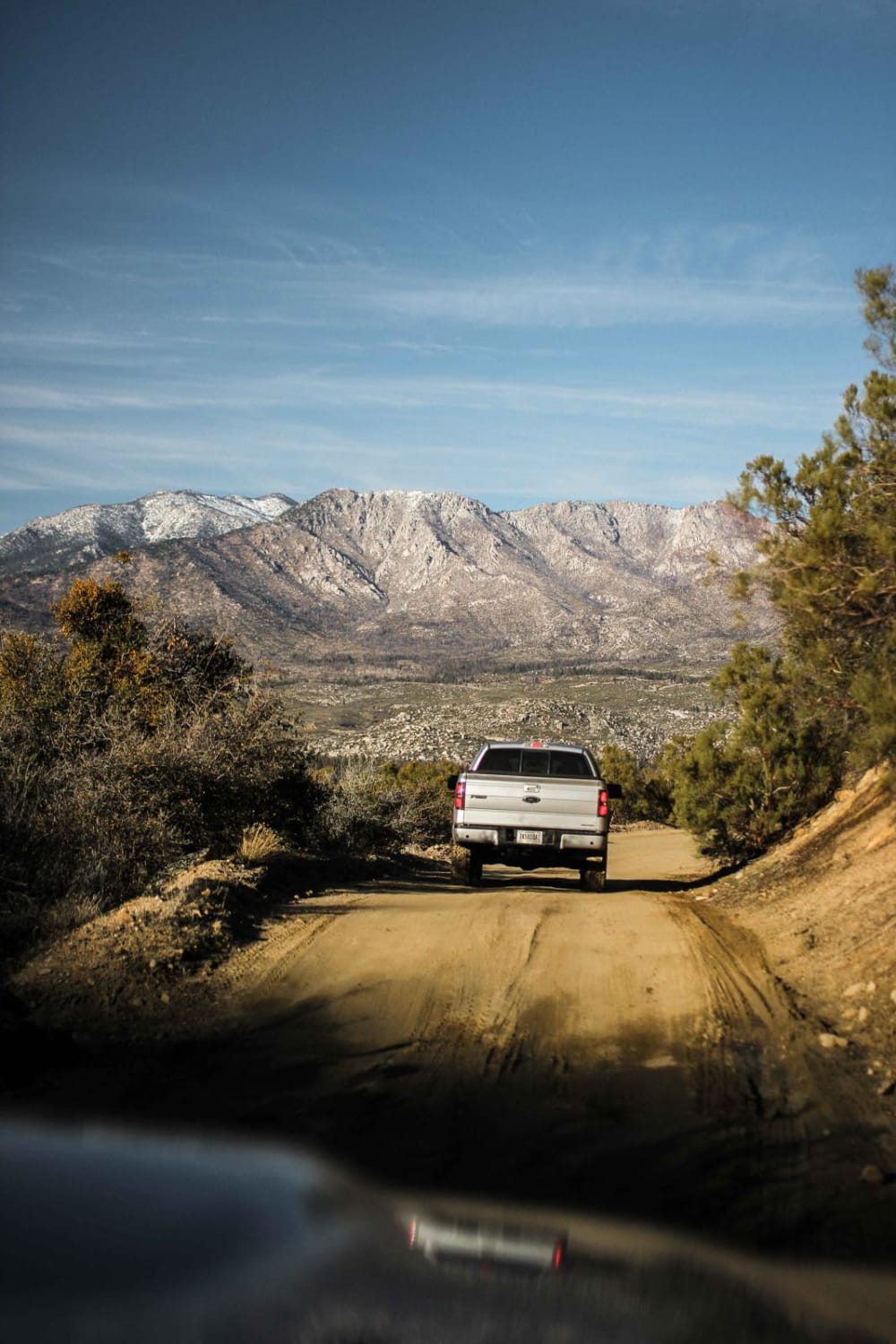
Trail Overview
This is an out and back route that ends at a nice hike and small campground. Along the way, you'll encounter a small water crossing or two, depending on the time of year and rain. You'll also encounter some slightly technical terrain in some parts. Near the campground, there is a bit of a sandy section but nothing a proper 4x4 cannot handle.
Photos of Coyote Canyon
Status Reports
Coyote Canyon can be accessed by the following ride types:
Coyote Canyon Map
Popular Trails

40 to 95 through Homer Mountain
Brewer Lake

Otay Mountain Truck Trail (Upper Trail)
Rouse Ridge via Cottonwood
The onX Offroad Difference
onX Offroad combines trail photos, descriptions, difficulty ratings, width restrictions, seasonality, and more in a user-friendly interface. Available on all devices, with offline access and full compatibility with CarPlay and Android Auto. Discover what you’re missing today!