Off-Road Trails in California
Discover off-road trails in California
Learn more about Dusty Spur
Dusty Spur
Total Miles
1.3
Tech Rating
Moderate
Best Time
Spring, Summer, Fall, Winter
Learn more about Dusy/Ershim Trail
Dusy/Ershim Trail
Total Miles
29.9
Tech Rating
Difficult
Best Time
Summer, Fall
Learn more about Dynamite Canyon Whipple Mountains
Dynamite Canyon Whipple Mountains
Total Miles
30.0
Tech Rating
Moderate
Best Time
Spring, Summer, Fall, Winter
Learn more about Eagle - FS 27S13
Eagle - FS 27S13
Total Miles
2.4
Tech Rating
Easy
Best Time
Fall, Summer, Spring
Learn more about Eagle Peak 4x4 Trail
Eagle Peak 4x4 Trail
Total Miles
12.7
Tech Rating
Easy
Best Time
Spring, Summer, Fall
Learn more about Eagle Rock
Eagle Rock
Total Miles
5.2
Tech Rating
Moderate
Best Time
Spring, Summer, Fall, Winter
Learn more about Earp Falls
Earp Falls
Total Miles
7.5
Tech Rating
Moderate
Best Time
Spring, Summer, Fall, Winter
Learn more about East Bank Wash
East Bank Wash
Total Miles
3.9
Tech Rating
Easy
Best Time
Spring, Summer, Fall, Winter
Learn more about East Entry
East Entry
Total Miles
0.9
Tech Rating
Moderate
Best Time
Spring, Summer, Fall, Winter
Learn more about East Fork Chiquito Creek - FS 5S011
East Fork Chiquito Creek - FS 5S011
Total Miles
1.2
Tech Rating
Easy
Best Time
Summer, Fall
Learn more about East Indian Canyon 4S10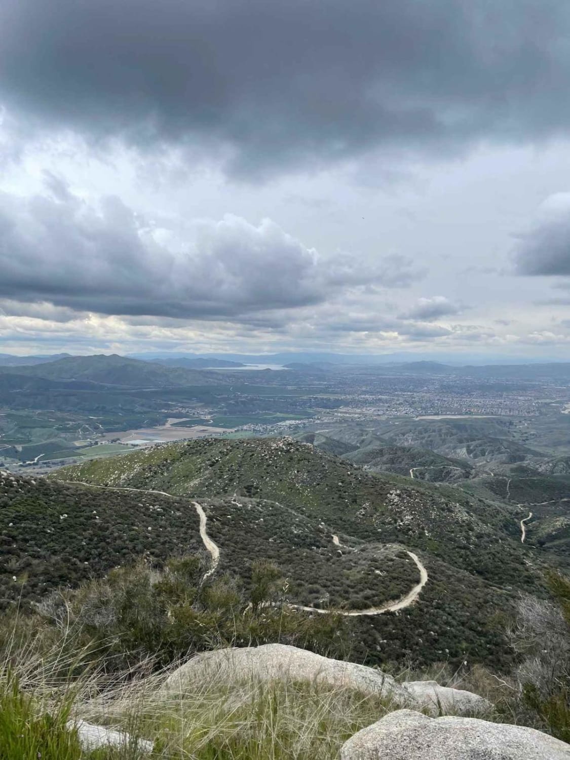
East Indian Canyon 4S10
Total Miles
8.6
Tech Rating
Easy
Best Time
Spring
Learn more about East Letts - FS 17N02k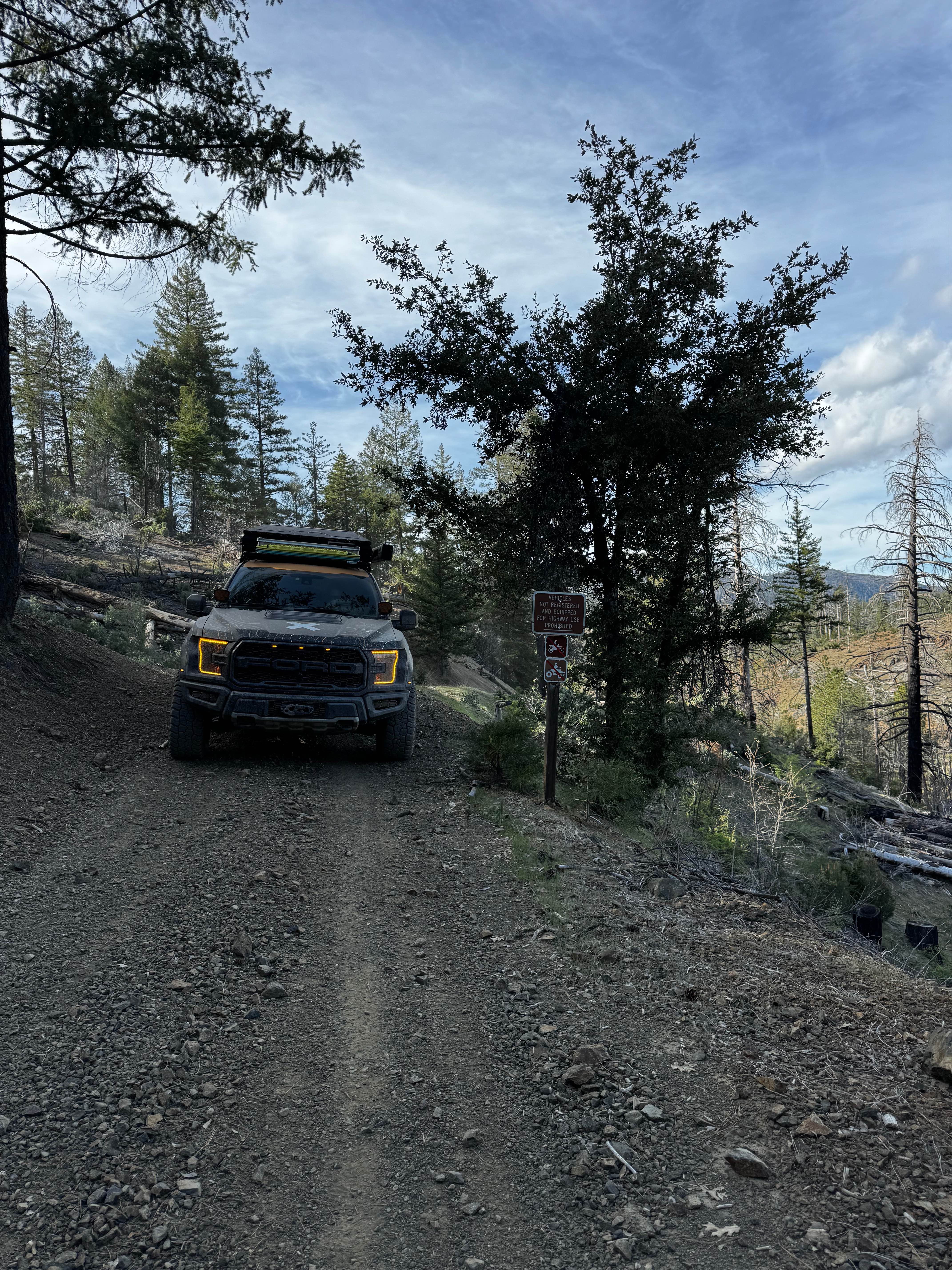
East Letts - FS 17N02k
Total Miles
0.9
Tech Rating
Easy
Best Time
Spring, Summer, Fall
Learn more about East York - FS 17N73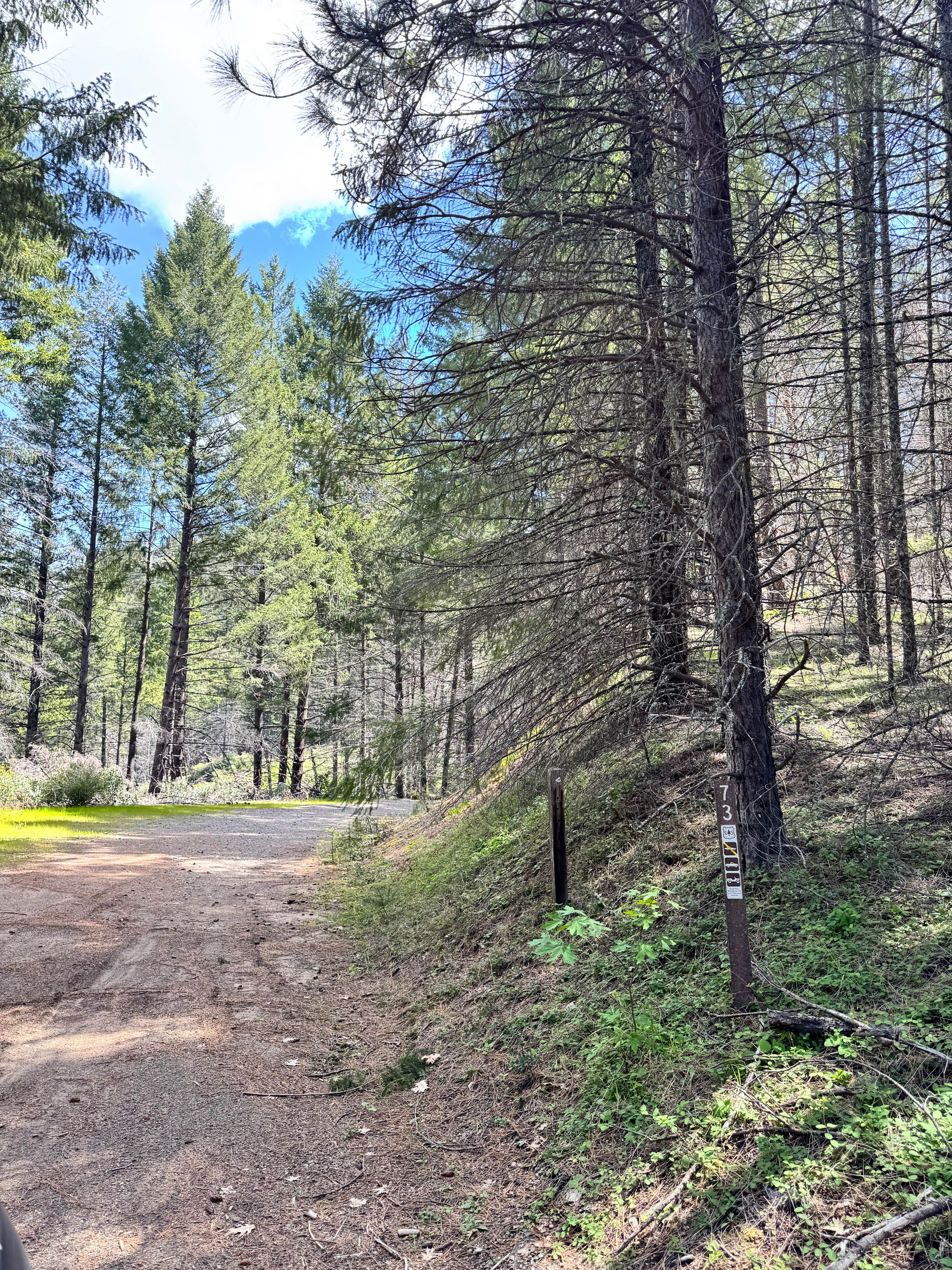
East York - FS 17N73
Total Miles
1.4
Tech Rating
Easy
Best Time
Spring, Summer, Fall
Learn more about Eastern Aiken Mine Road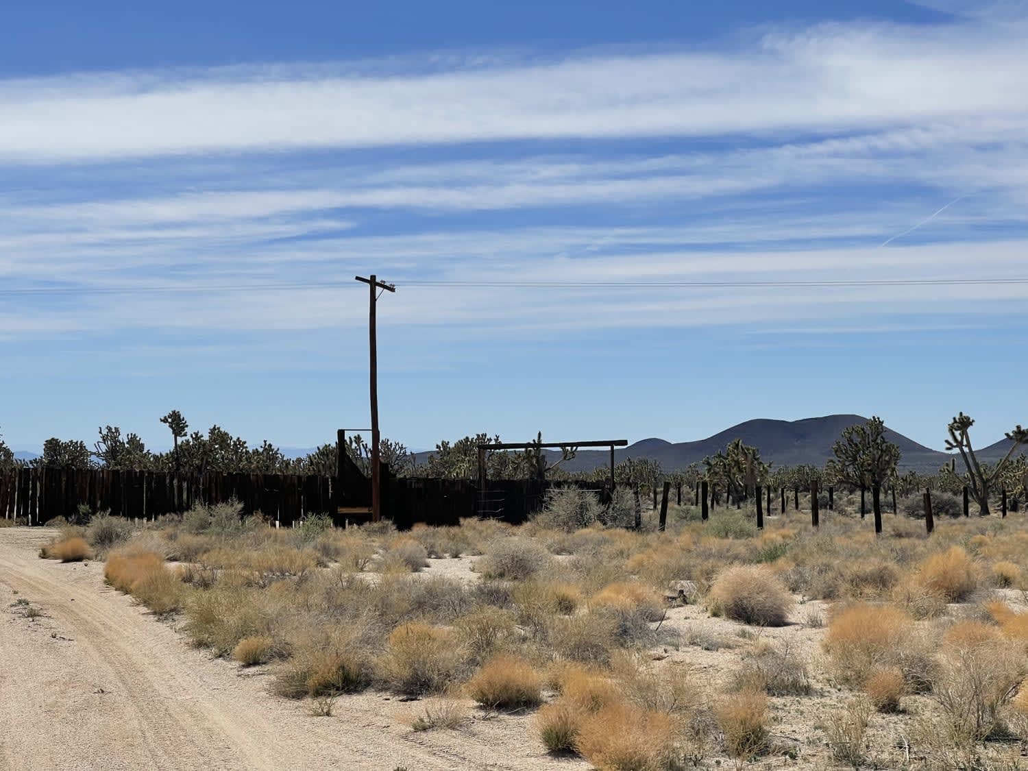
Eastern Aiken Mine Road
Total Miles
6.3
Tech Rating
Moderate
Best Time
Winter, Fall, Spring
Learn more about Eastern Zinc Mine Road
Eastern Zinc Mine Road
Total Miles
5.6
Tech Rating
Easy
Best Time
Winter, Fall, Spring
Learn more about Easy Way to Camp From Trona Road
Easy Way to Camp From Trona Road
Total Miles
1.4
Tech Rating
Easy
Best Time
Winter, Fall, Spring
Learn more about EC 19 Table Mountain Road
EC 19 Table Mountain Road
Total Miles
6.1
Tech Rating
Easy
Best Time
Spring, Summer, Fall, Winter
ATV trails in California


UTV/side-by-side trails in California


Learn more about 3N267 Fenner Saddle (4N12)
3N267 Fenner Saddle (4N12)
Total Miles
3.8
Tech Rating
Difficult
Best Time
Spring, Summer, Fall, Winter

The onX Offroad Difference
onX Offroad combines trail photos, descriptions, difficulty ratings, width restrictions, seasonality, and more in a user-friendly interface. Available on all devices, with offline access and full compatibility with CarPlay and Android Auto. Discover what you’re missing today!