East Indian Canyon 4S10
Total Miles
8.6
Technical Rating
Best Time
Spring
Trail Type
Full-Width Road
Accessible By
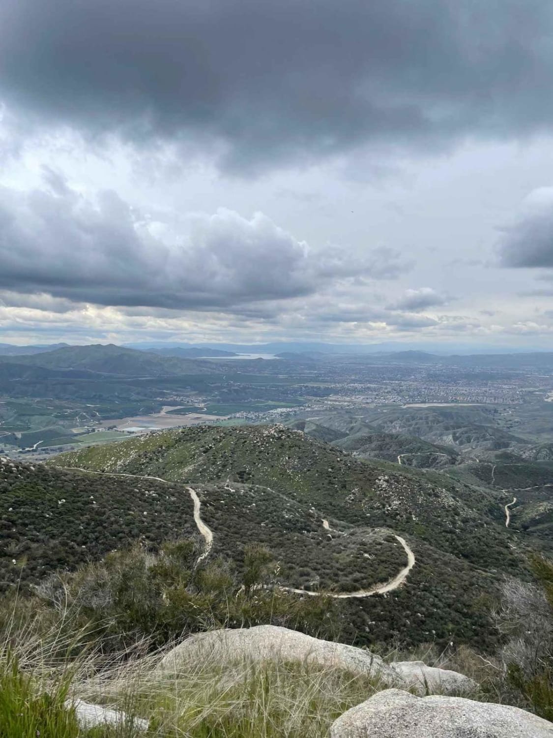
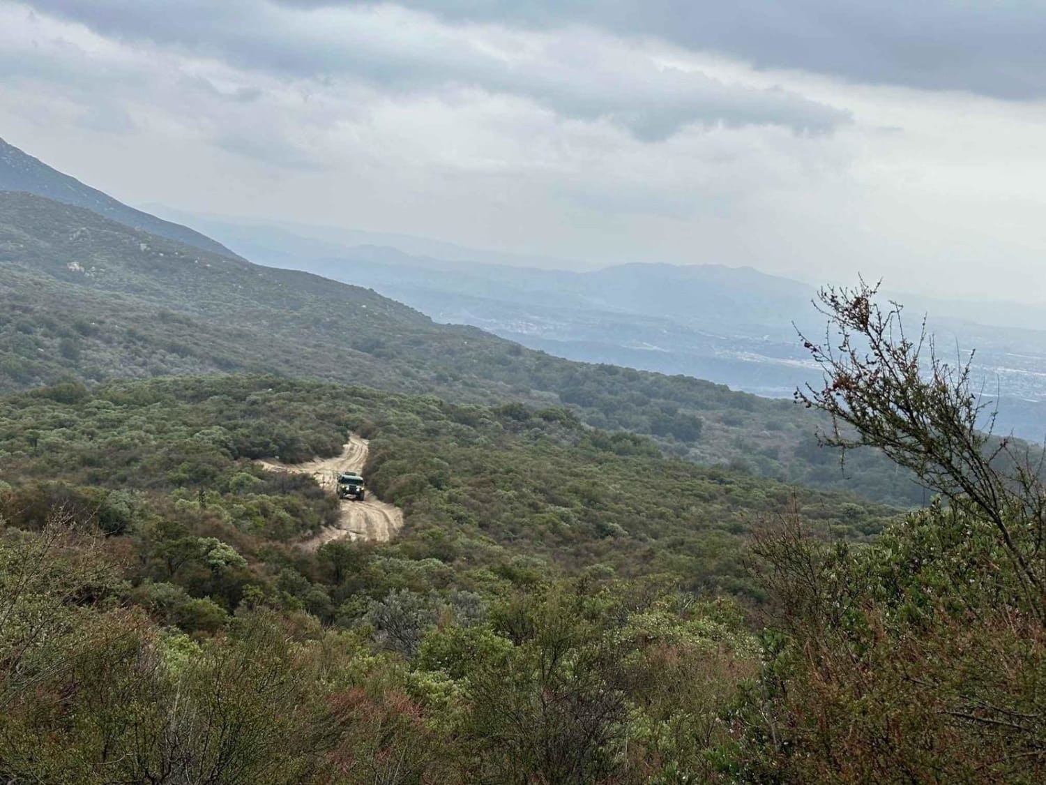
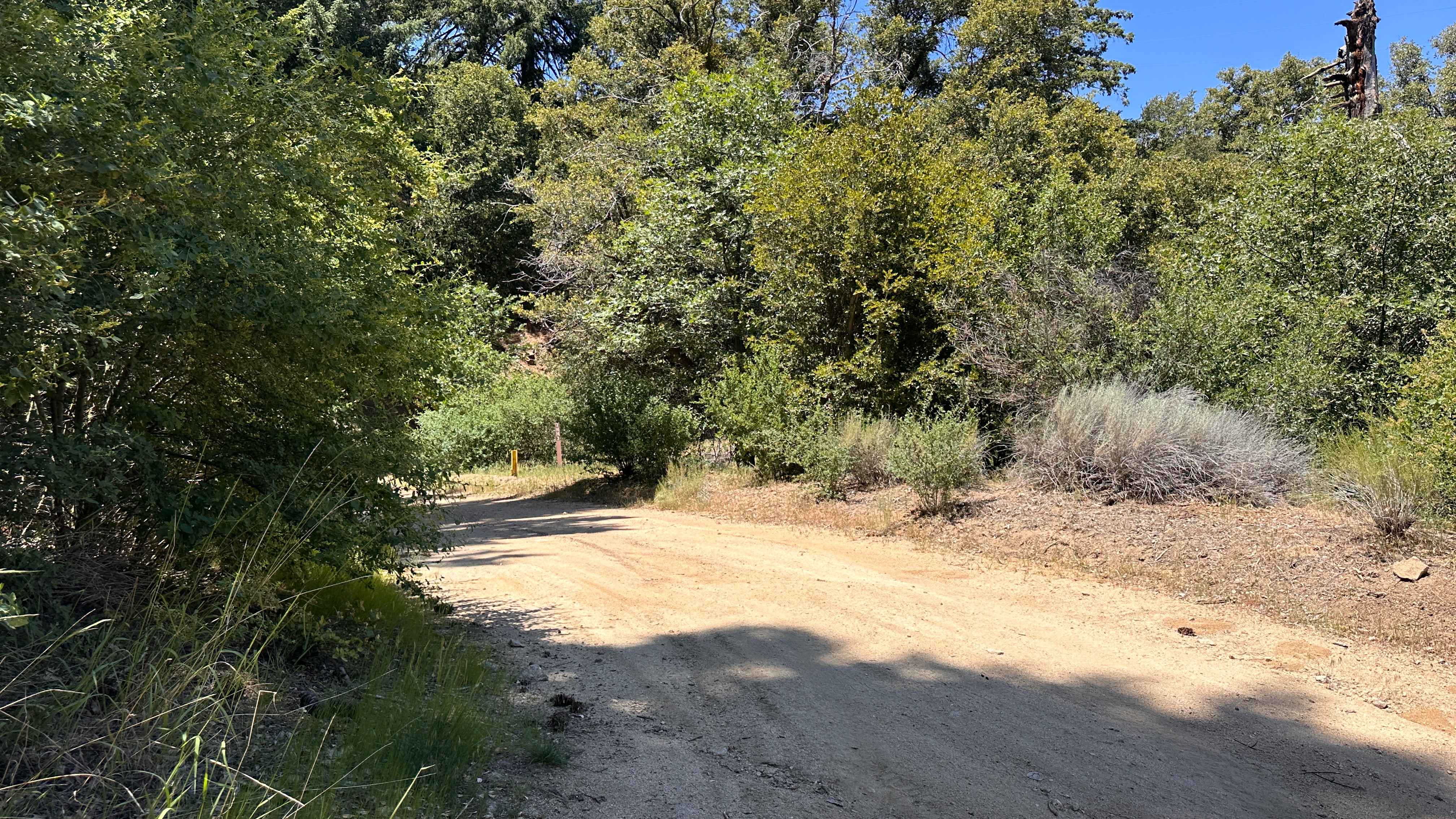
Trail Overview
This is a level 2-rated full-width road back to Highway 243. This is the fastest and safest way back up to Highway 243. The route through Bee Canyon is currently closed. 2 areas had a boulder roll off the hill into the road. Even an H1 Hummer can make it around both of them, so they won't stop you short, but you may need a spotter to avoid some damage navigating.
Photos of East Indian Canyon 4S10
Difficulty
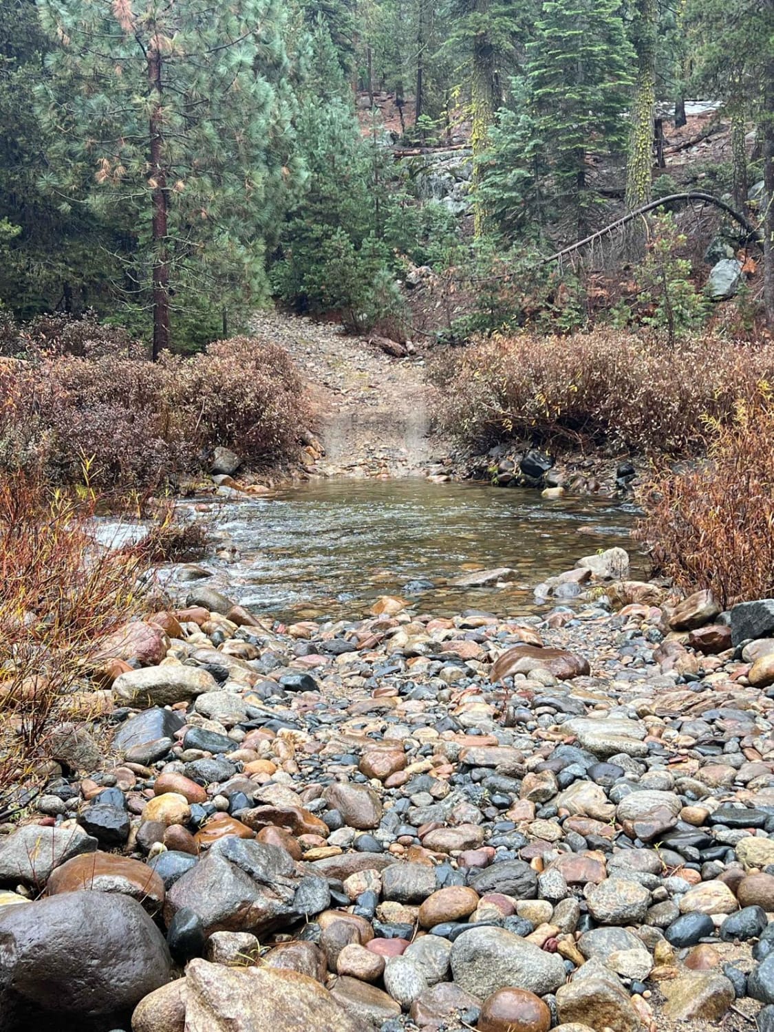
The trail is a little rutted out. There are two areas that requiring driving around boulders that have fallen in the road.
Status Reports
East Indian Canyon 4S10 can be accessed by the following ride types:
- High-Clearance 4x4
- SUV
- SxS (60")
- ATV (50")
- Dirt Bike
East Indian Canyon 4S10 Map
Popular Trails
Firebreak Trail

Peacemaker
Mount Raymond Road - FS 5S006
Clavey Crossing to Bourland Meadow
The onX Offroad Difference
onX Offroad combines trail photos, descriptions, difficulty ratings, width restrictions, seasonality, and more in a user-friendly interface. Available on all devices, with offline access and full compatibility with CarPlay and Android Auto. Discover what you’re missing today!