Eagle Pass
Total Miles
29.8
Technical Rating
Best Time
Summer, Fall
Trail Type
High-Clearance 4x4 Trail
Accessible By
Trail Overview
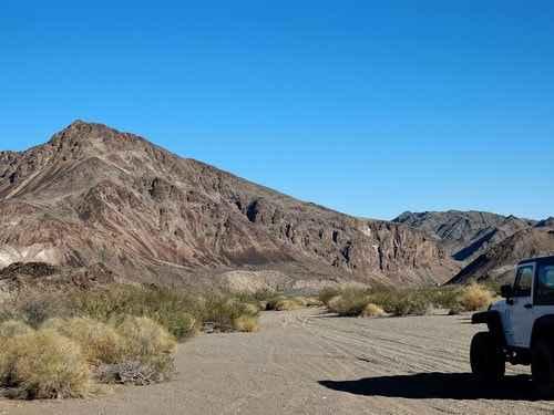
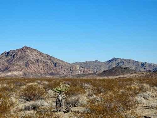
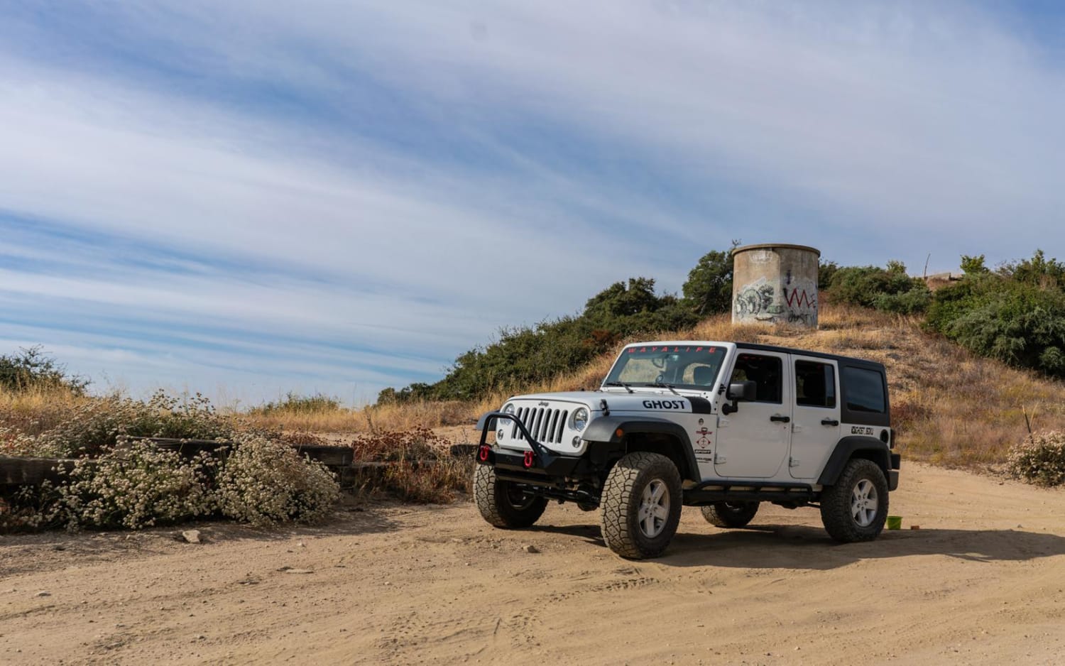
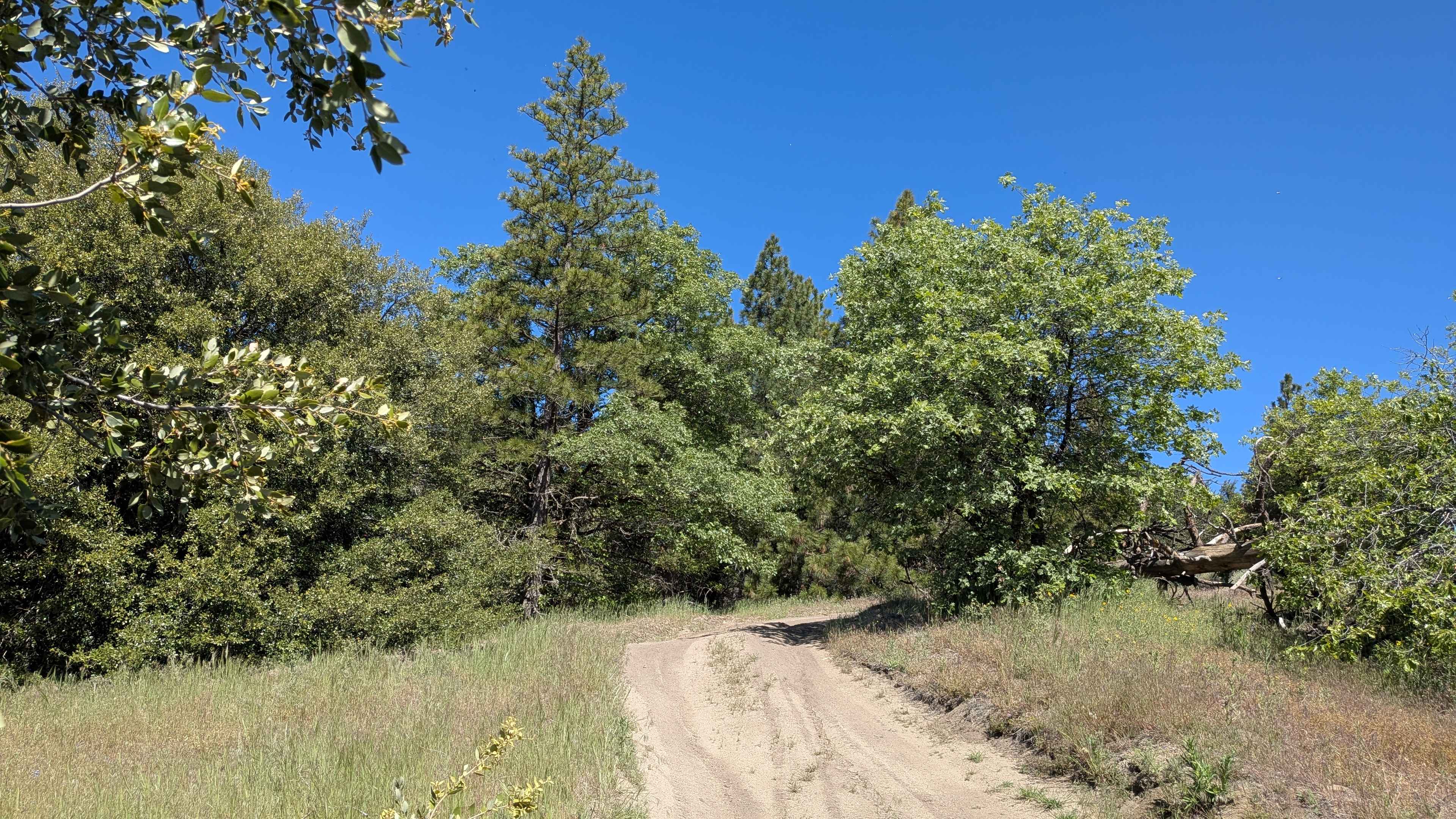
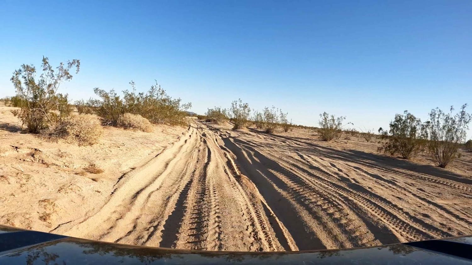
A simple, but bone-jarring, trail through a canyon in the Sacramento Mountains near Needles, California. We did this trail starting at Exit 148 south of Needles, but it can be done either way. Eagle Pass seems to be a bit misleading. The "pass" is really a canyon through the Sacramento Mountains; however, the USGS map labels it as Eagle Pass. This is far from being our favorite trail! The canyon itself is kind of nice, but there are 4 or 5 miles of soft, sandy wash on the southeast part of the trail that is "hell on wheels" if you are in a Jeep. It would be better to go in from the Needles end and return the same way. Eagle Peak rises 1300' above the wash.
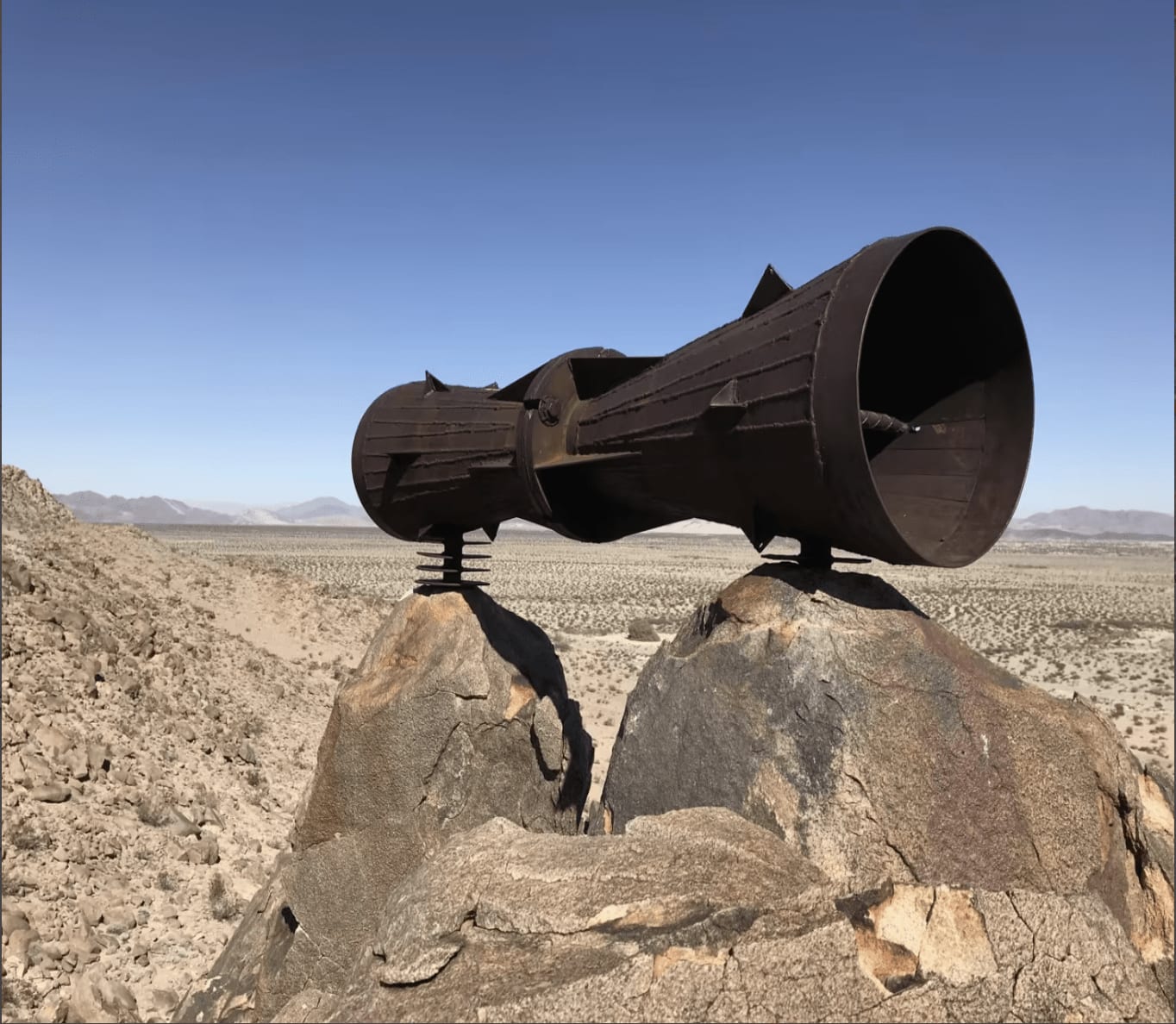
Photos of Eagle Pass
Difficulty
Uneven, rutted dirt trail with loose rocks, sand, erosion, and washes. Potential water crossings up to a foot deep, mud holes, and obstacles up to 18", including ledges and short, steep grades. Roads are typically one vehicle wide with places to pass.
Status Reports
Eagle Pass can be accessed by the following ride types:
- High-Clearance 4x4
- SxS (60")
- ATV (50")
- Dirt Bike
Eagle Pass Map
Popular Trails
2N40 Cloudland Truck Trail
Evans Flat - FS 32E53A
EMHT Segment 3: Rocky Ridge to Fenner
Dunes Vista
The onX Offroad Difference
onX Offroad combines trail photos, descriptions, difficulty ratings, width restrictions, seasonality, and more in a user-friendly interface. Available on all devices, with offline access and full compatibility with CarPlay and Android Auto. Discover what you’re missing today!