Off-Road Trails in California
Discover off-road trails in California
Learn more about Forest Service Road 1N11
Forest Service Road 1N11
Total Miles
4.2
Tech Rating
Easy
Best Time
Summer, Fall
Learn more about Forest Service Road 1S127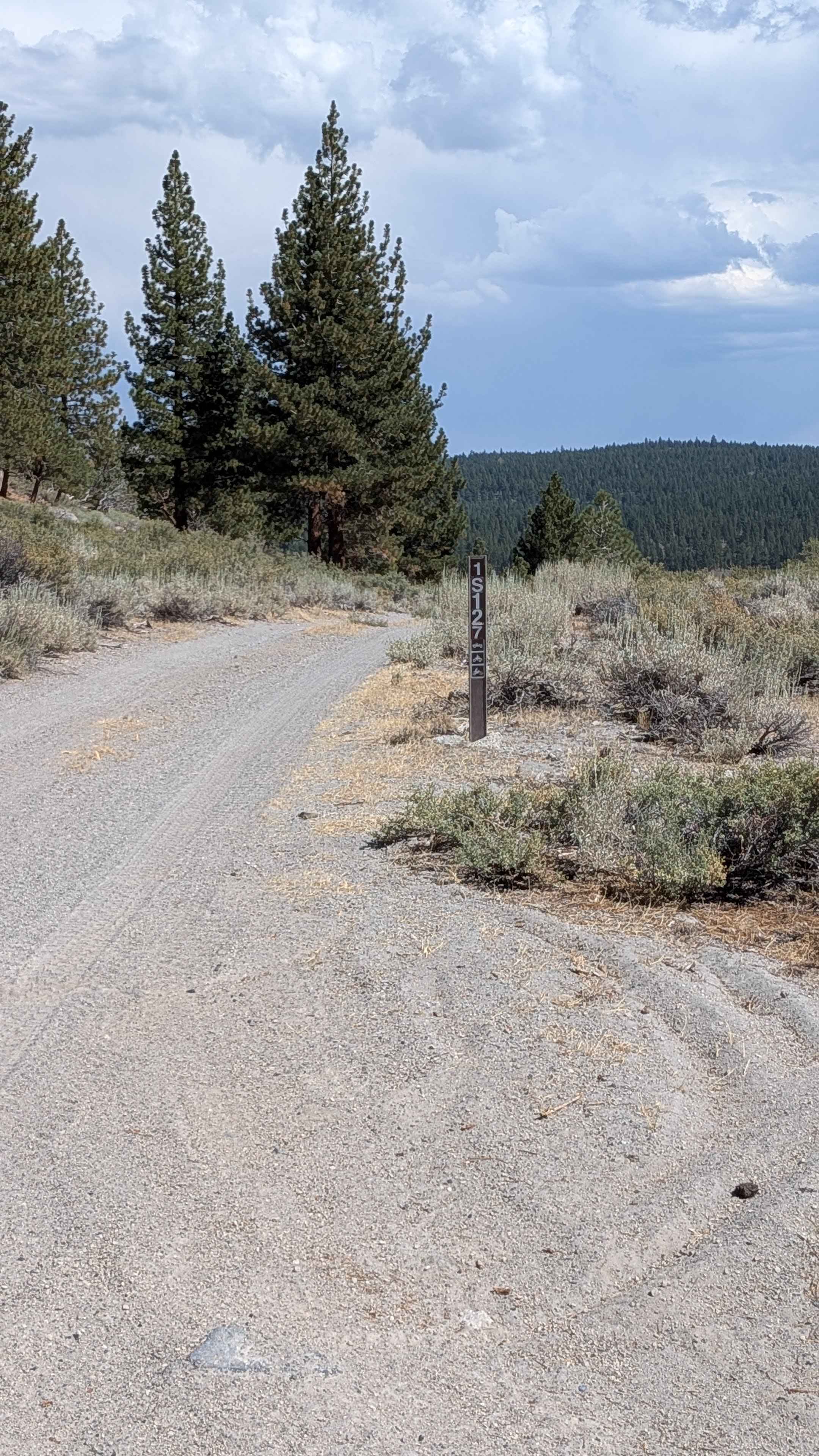
Forest Service Road 1S127
Total Miles
1.2
Tech Rating
Easy
Best Time
Fall
Learn more about Forest Service Road 1S133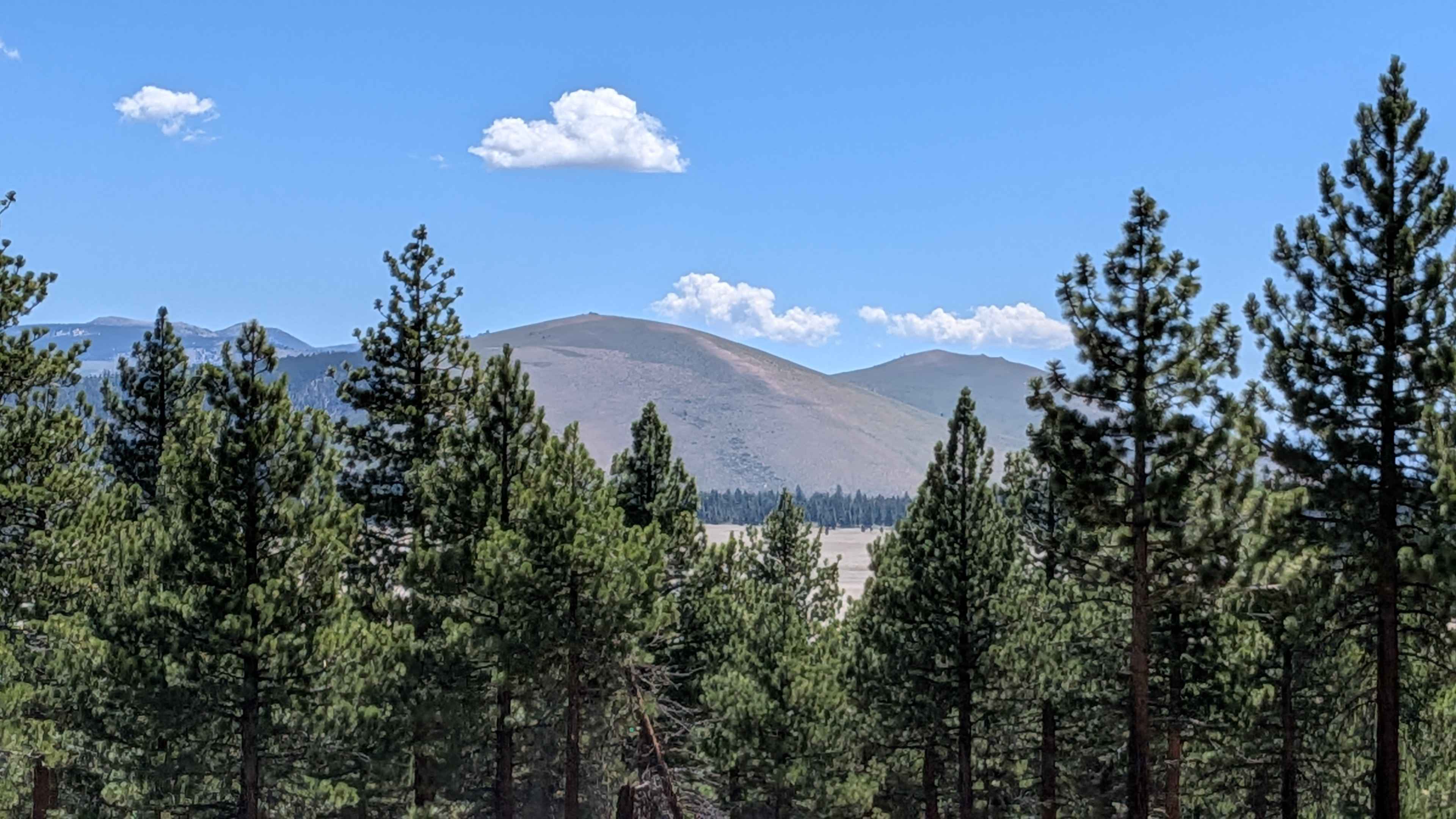
Forest Service Road 1S133
Total Miles
1.2
Tech Rating
Easy
Best Time
Fall, Summer
Learn more about Forest Service Road 1S15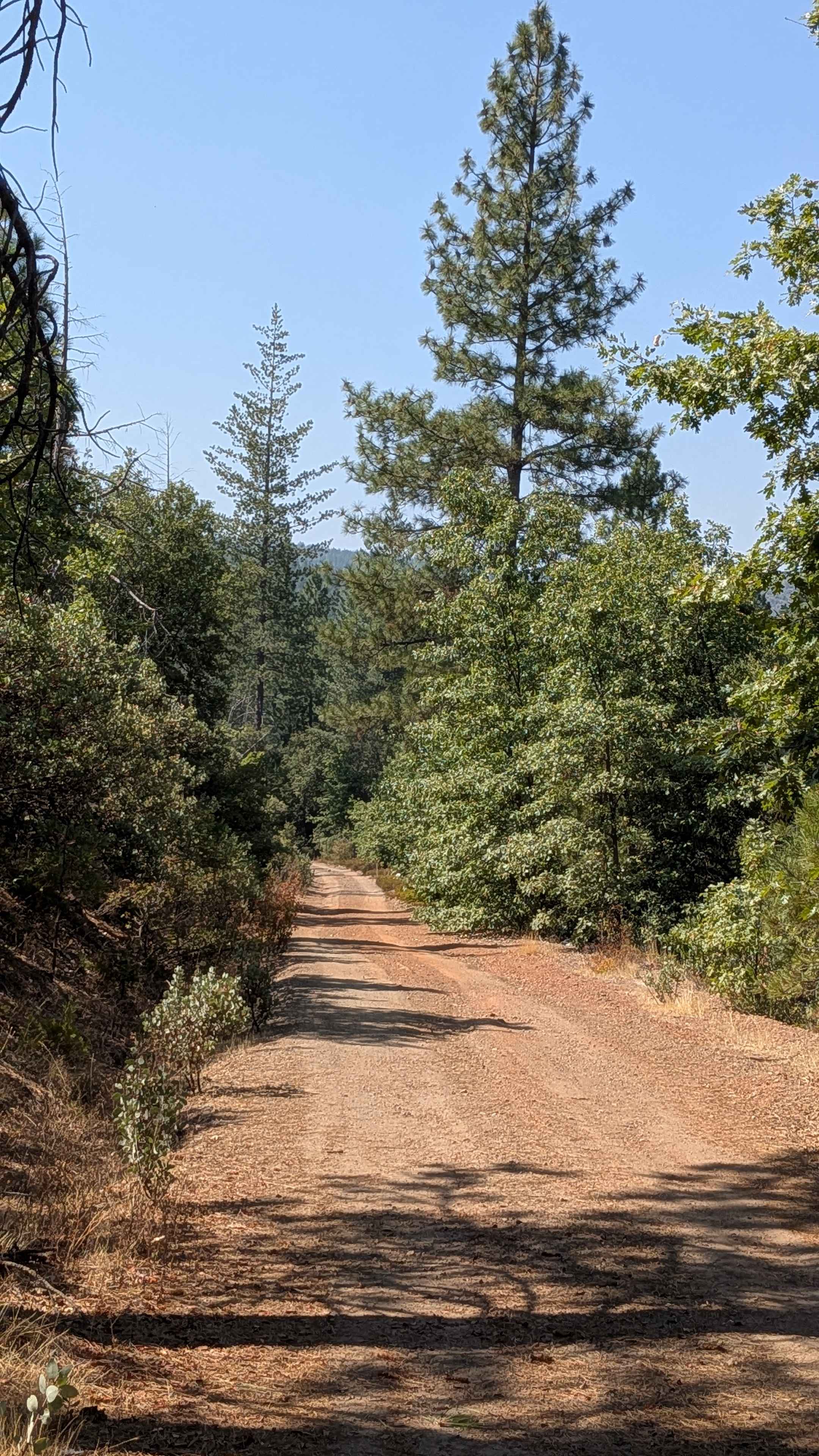
Forest Service Road 1S15
Total Miles
4.2
Tech Rating
Easy
Best Time
Summer, Fall
Learn more about Forest Service Road 1S22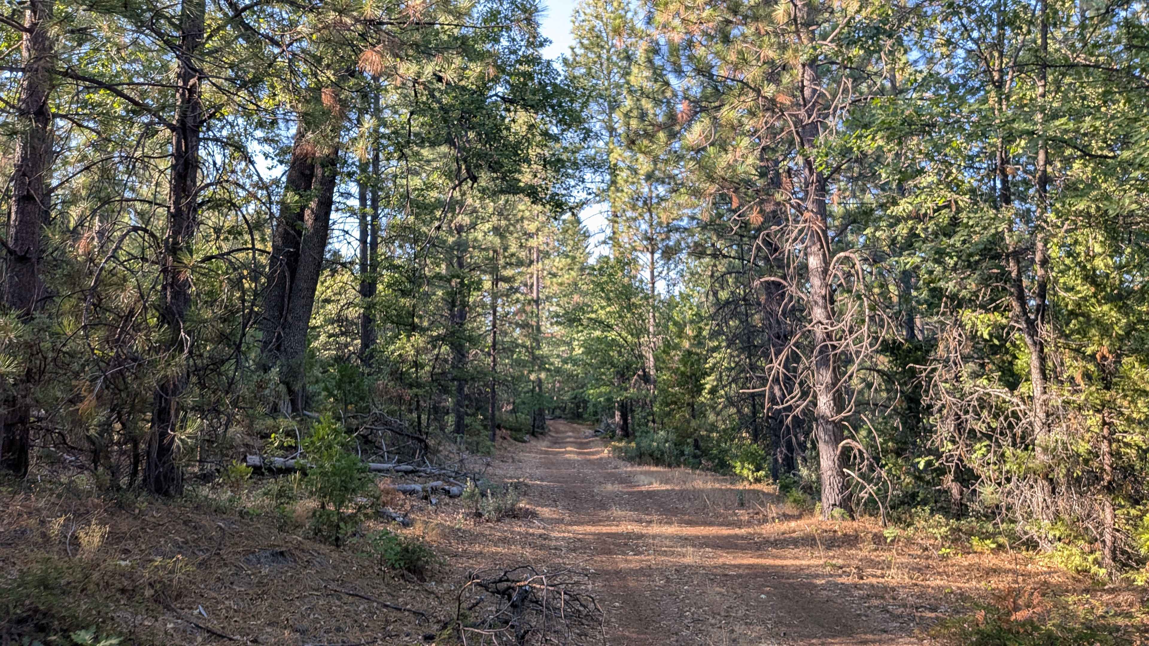
Forest Service Road 1S22
Total Miles
2.3
Tech Rating
Easy
Best Time
Fall, Summer
Learn more about Forest Service Road 1S52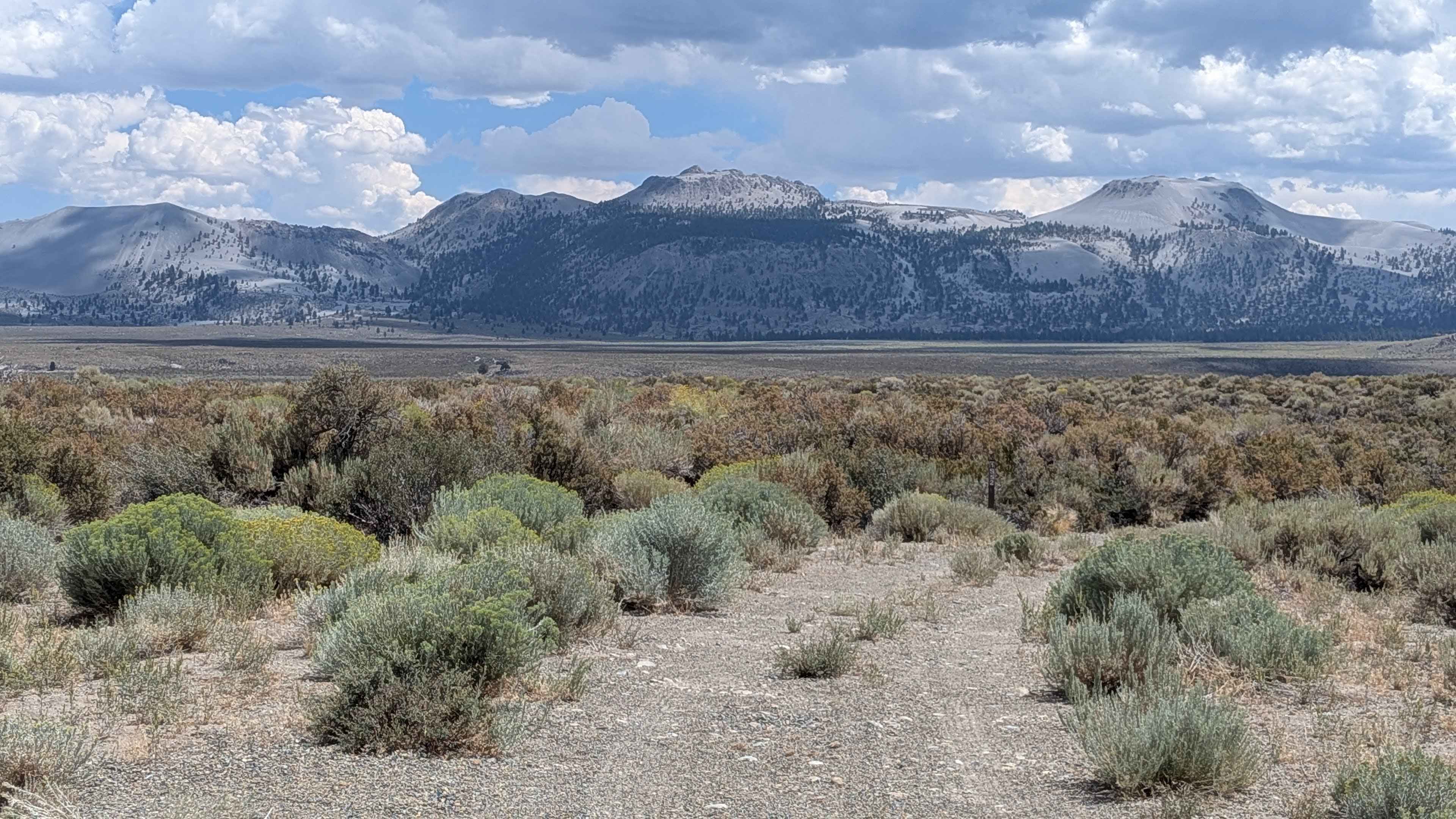
Forest Service Road 1S52
Total Miles
1.9
Tech Rating
Easy
Best Time
Summer, Fall
Learn more about Forest Service Road 2N19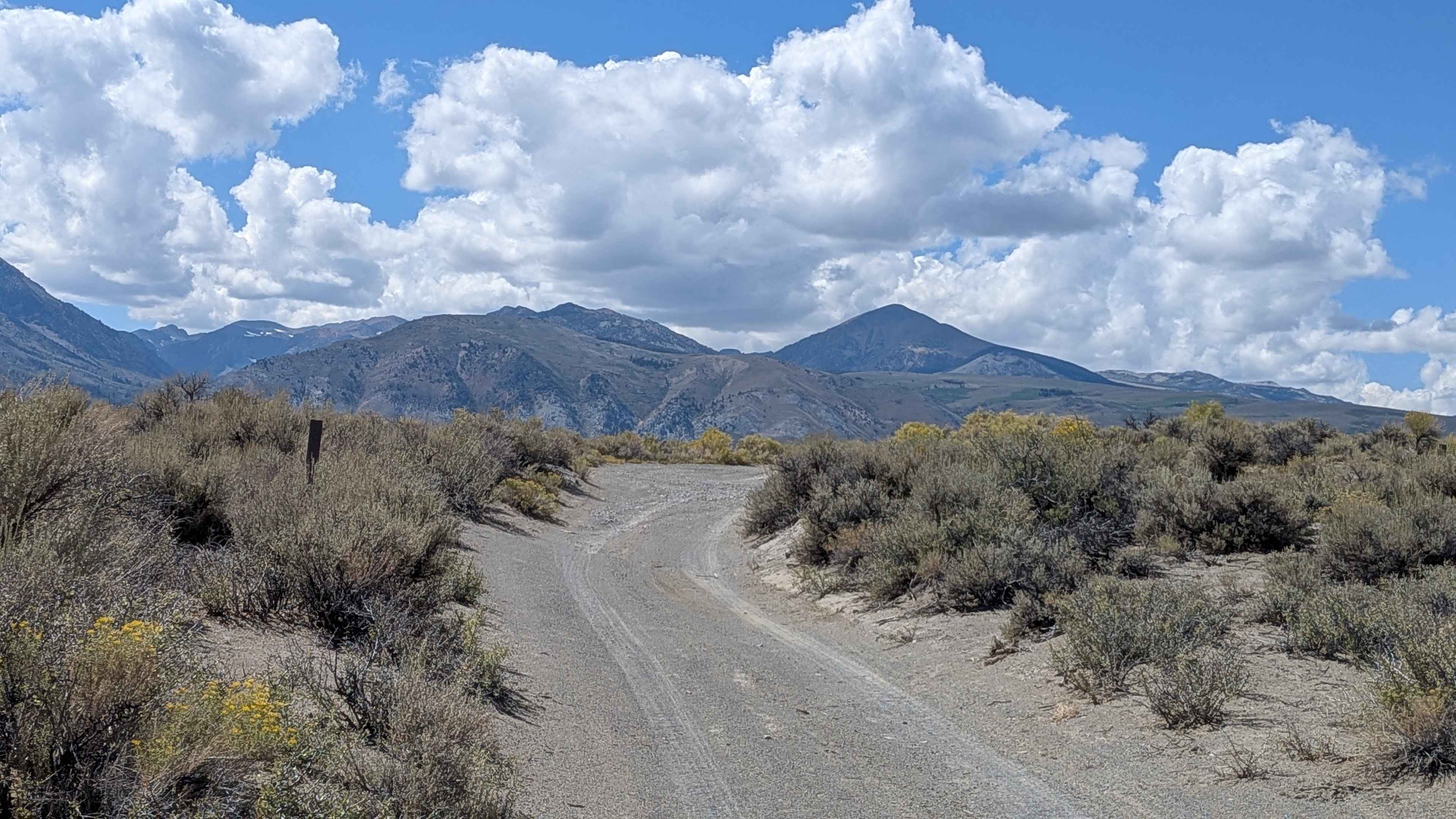
Forest Service Road 2N19
Total Miles
1.8
Tech Rating
Easy
Best Time
Summer, Fall, Spring
Learn more about Forest Service Road 2S09
Forest Service Road 2S09
Total Miles
3.8
Tech Rating
Easy
Best Time
Summer, Fall
Learn more about Forest Service Road 2S123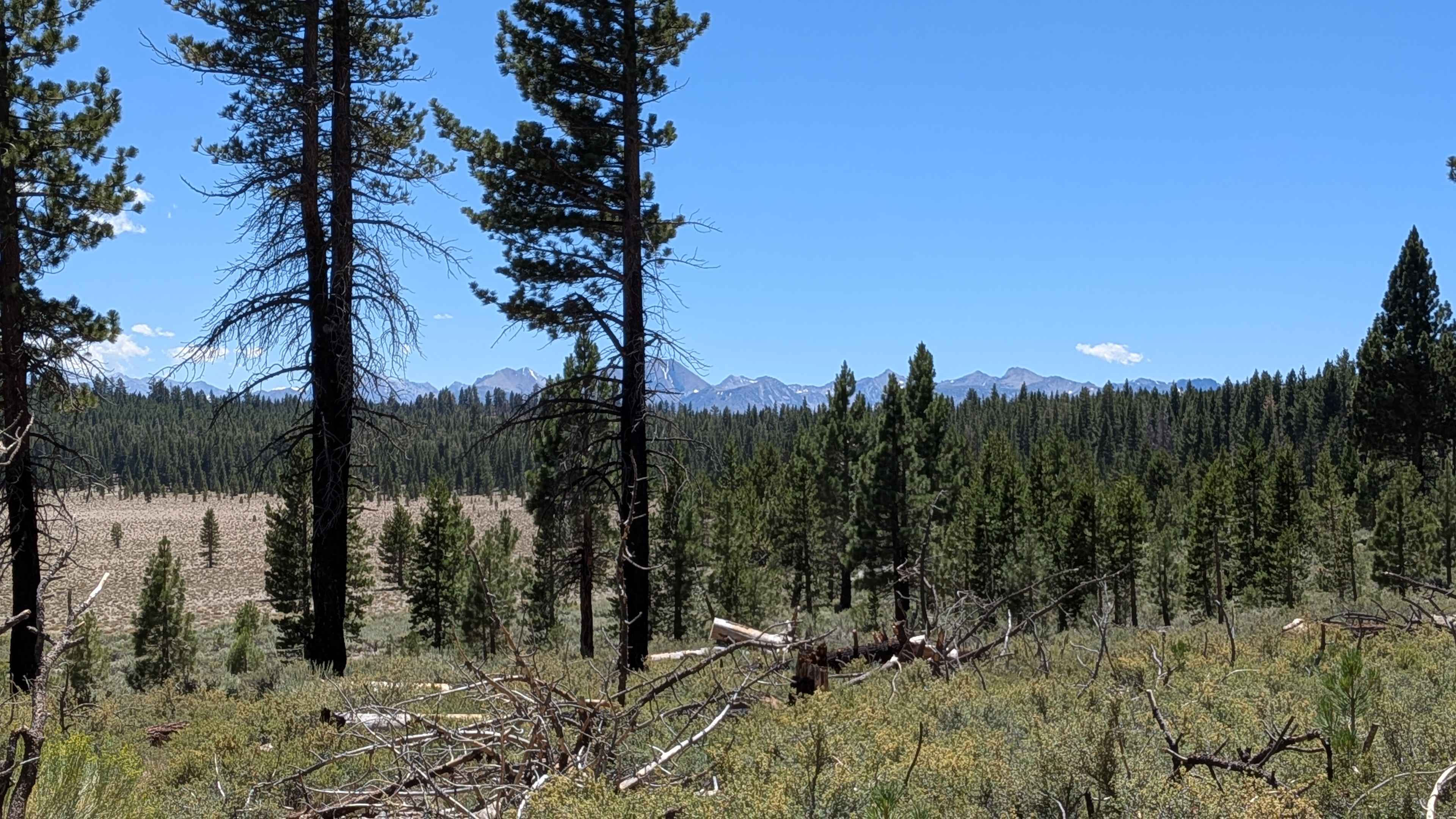
Forest Service Road 2S123
Total Miles
1.8
Tech Rating
Easy
Best Time
Fall, Summer
Learn more about Forest Service Road 2S129
Forest Service Road 2S129
Total Miles
0.9
Tech Rating
Easy
Best Time
Fall, Summer
Learn more about Forest Service Road 2S2111
Forest Service Road 2S2111
Total Miles
1.6
Tech Rating
Easy
Best Time
Summer, Fall
Learn more about Forest Service Road 2S37
Forest Service Road 2S37
Total Miles
1.7
Tech Rating
Easy
Best Time
Fall, Summer, Spring
Learn more about Forest Service Road 2S40
Forest Service Road 2S40
Total Miles
2.4
Tech Rating
Easy
Best Time
Fall, Summer
Learn more about Forest Service Road 31E311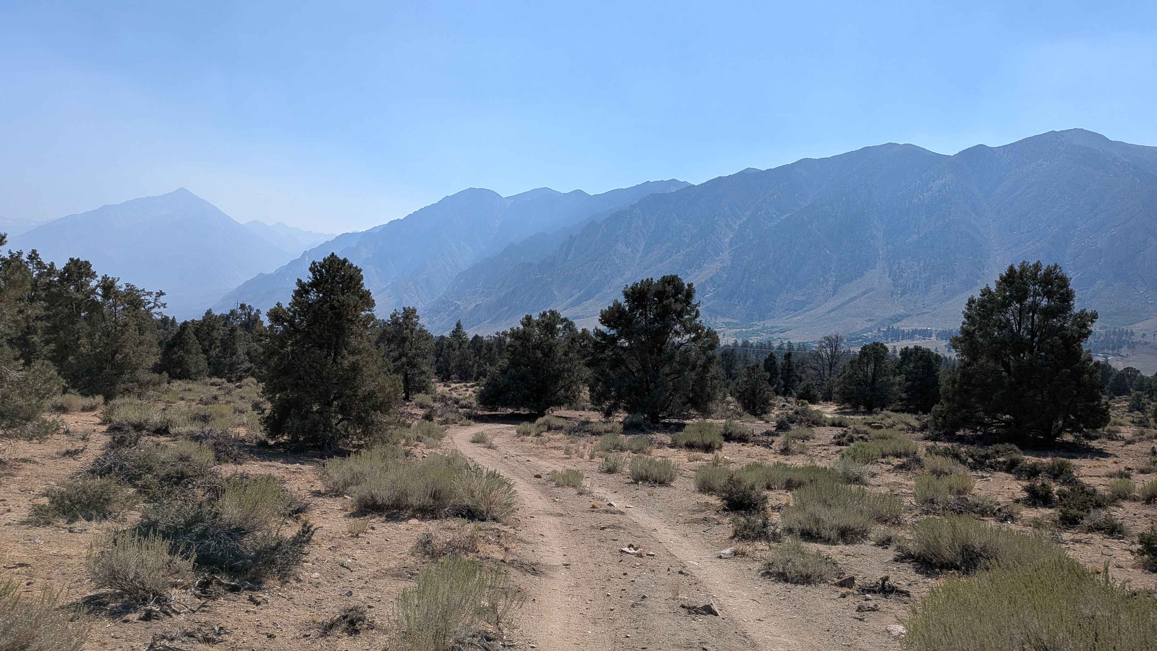
Forest Service Road 31E311
Total Miles
1.8
Tech Rating
Easy
Best Time
Summer, Fall, Spring
Learn more about Forest Service Road 35E313
Forest Service Road 35E313
Total Miles
3.3
Tech Rating
Moderate
Best Time
Spring, Summer, Fall
Learn more about Forest Service Road 3S104
Forest Service Road 3S104
Total Miles
1.9
Tech Rating
Easy
Best Time
Summer, Fall
Learn more about Forest Service Road 3S121A
Forest Service Road 3S121A
Total Miles
1.4
Tech Rating
Easy
Best Time
Fall, Summer
Learn more about Forest Service Road 3S130
Forest Service Road 3S130
Total Miles
2.5
Tech Rating
Easy
Best Time
Fall, Summer
Learn more about Forest Service Road 3S22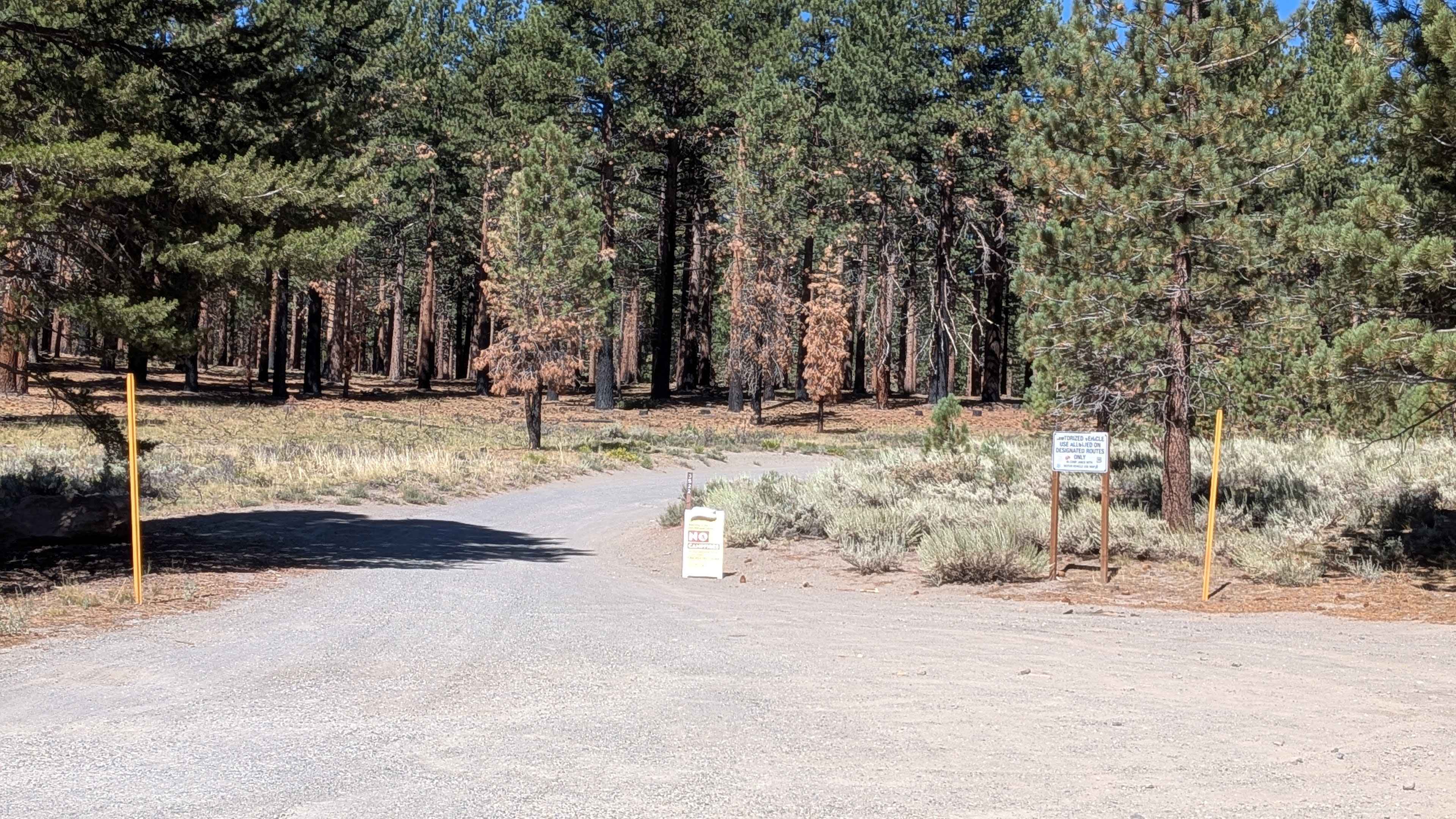
Forest Service Road 3S22
Total Miles
0.8
Tech Rating
Easy
Best Time
Summer, Fall
Learn more about Forest Service Road 4S121
Forest Service Road 4S121
Total Miles
2.3
Tech Rating
Easy
Best Time
Summer, Fall, Spring
ATV trails in California


UTV/side-by-side trails in California


Learn more about 3N267 Fenner Saddle (4N12)
3N267 Fenner Saddle (4N12)
Total Miles
3.8
Tech Rating
Difficult
Best Time
Spring, Summer, Fall, Winter

The onX Offroad Difference
onX Offroad combines trail photos, descriptions, difficulty ratings, width restrictions, seasonality, and more in a user-friendly interface. Available on all devices, with offline access and full compatibility with CarPlay and Android Auto. Discover what you’re missing today!