Forest Service Road 2S123
Total Miles
1.8
Technical Rating
Best Time
Fall, Summer
Trail Type
Full-Width Road
Accessible By
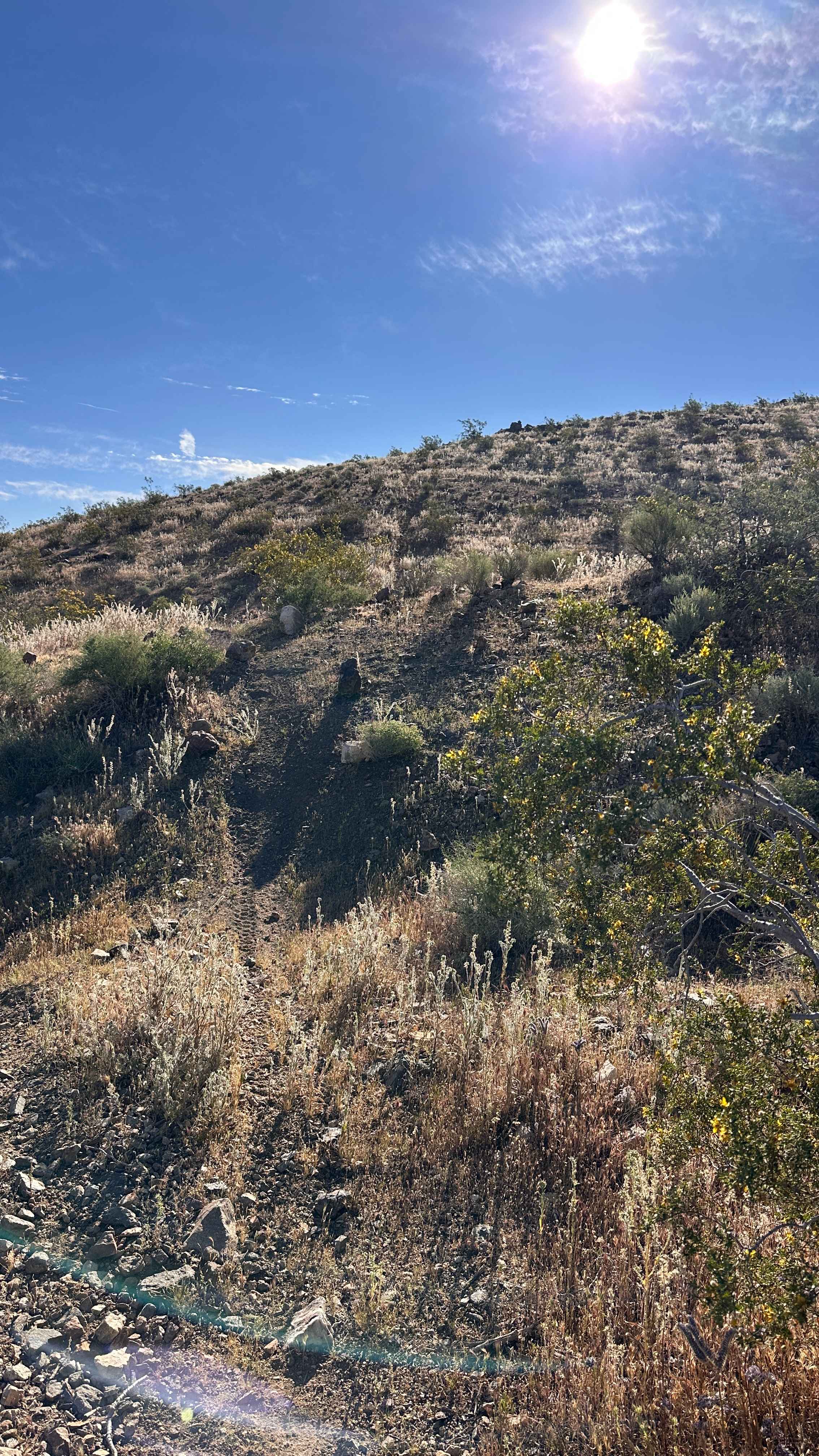
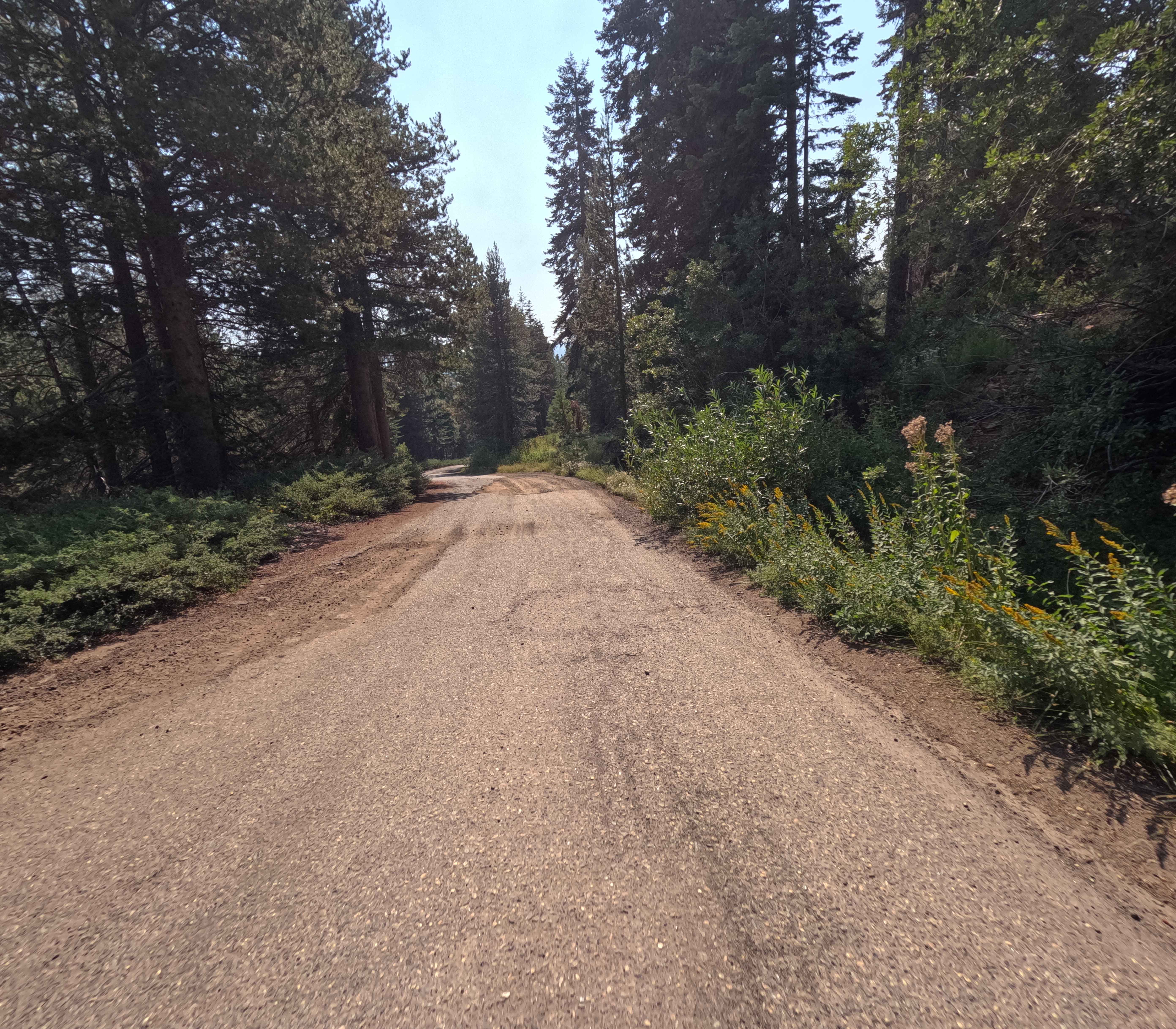
Trail Overview
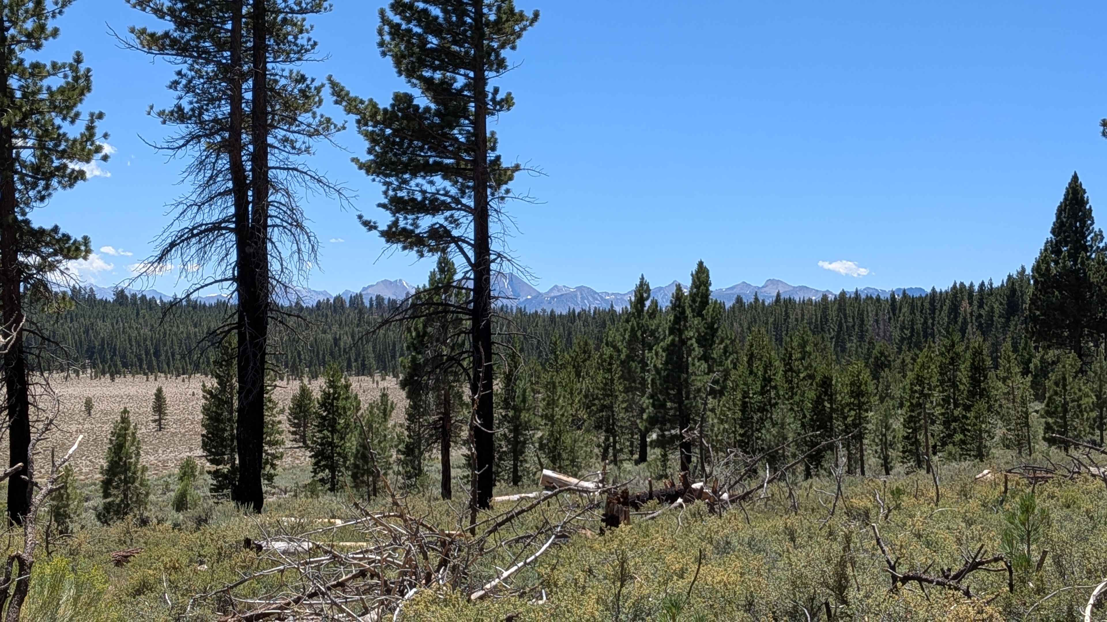
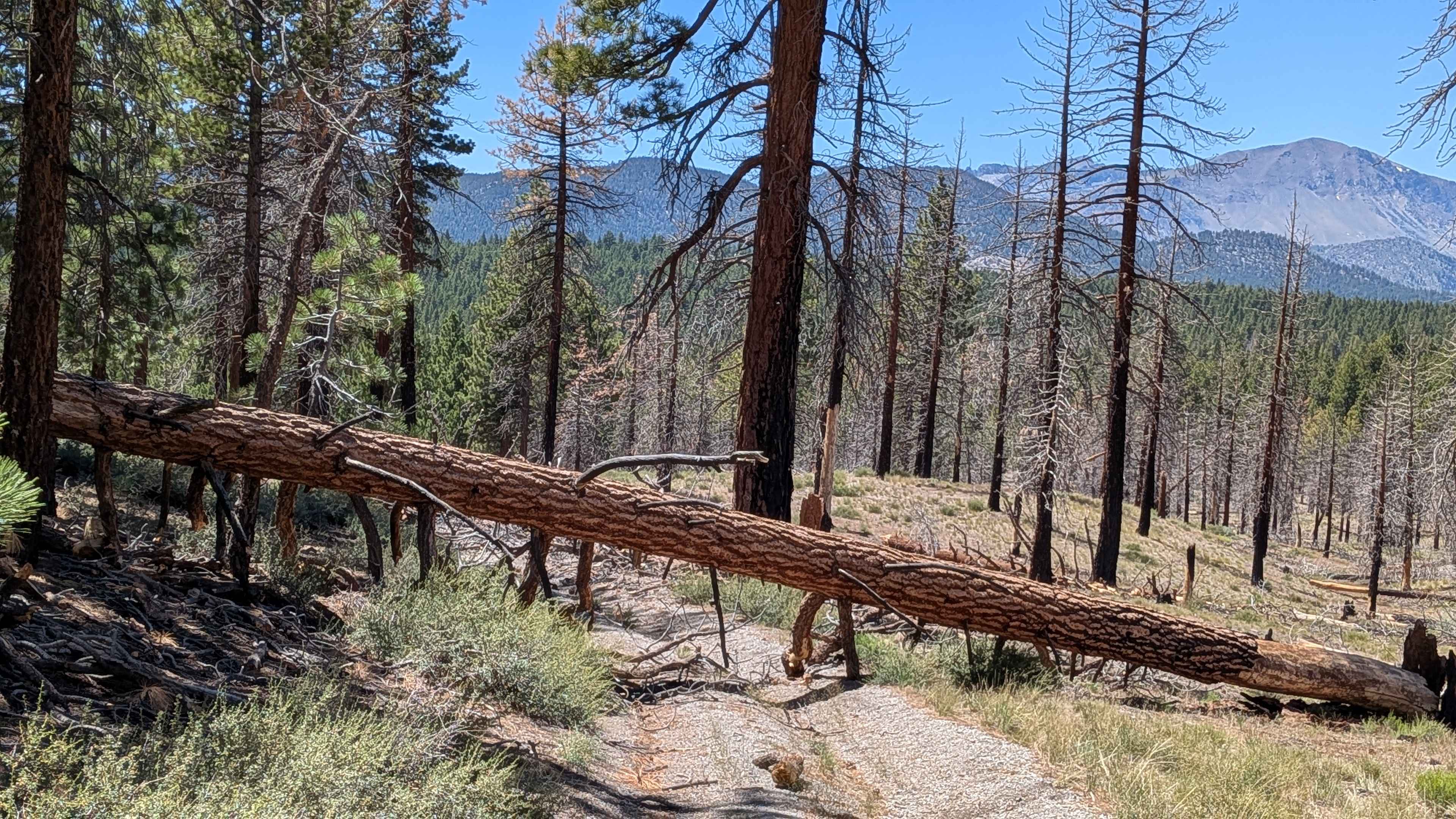
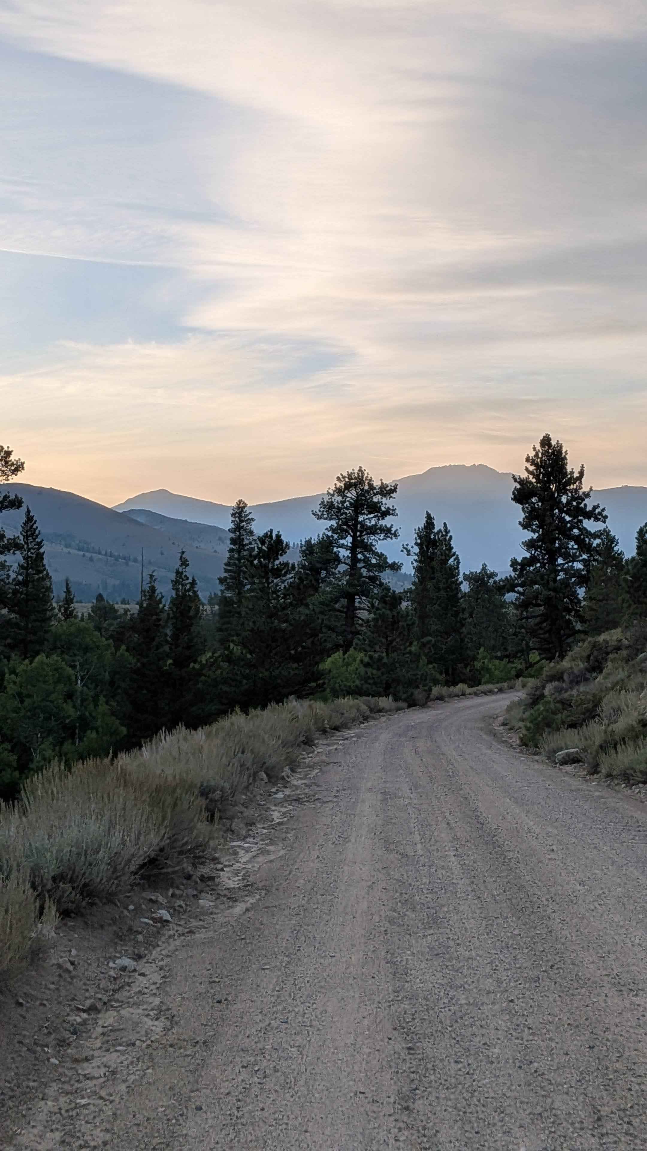
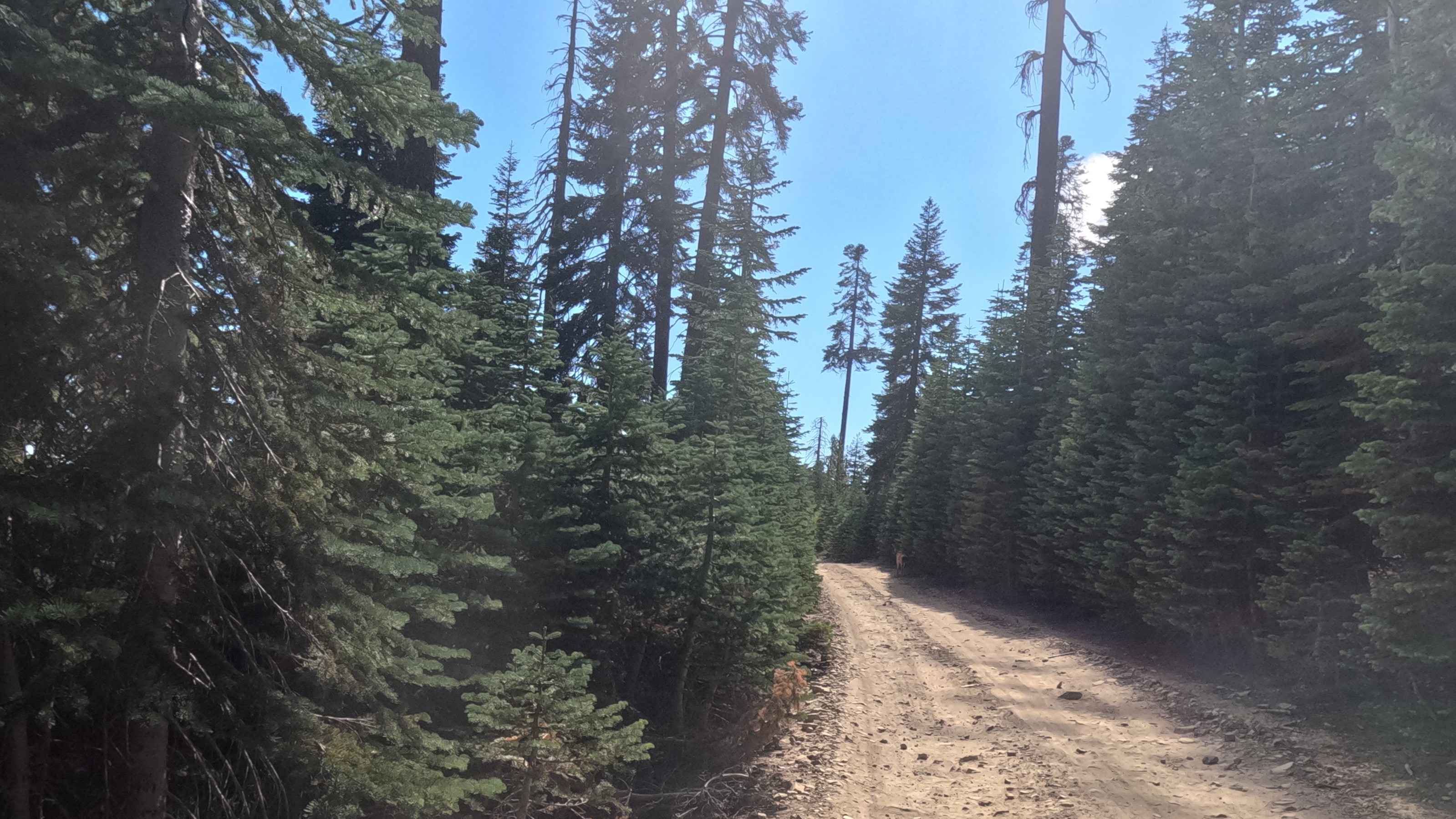
This sandy and gravel-based trail winds alongside a wide open meadow bordered by newer growth pine forest, offering scenic views including glimpses of Crater Mountain. The trail is marked by frequent ruts and whoops, a result of heavy side-by-side traffic, and is accessible from FS2S40 and FS22S123B. For about a mile, it remains relatively easy as it hugs the meadow, but once it begins to climb, the terrain becomes more demanding--narrower, with deeper sand, ruts, and tighter turns. Some low-hanging branches and tight tree corridors could scrape taller or wider vehicles. The original path was closed by the Forest Service to protect the meadow--respect closure signs and stay off sensitive areas. Dispersed campsites are available just off the trail. Around Mile 2, a burn area appears with several large trees down across the road. Just before mile two, there are various trees down that block the rest of the trail. Do not forge a bypass--backtrack or reroute using FS2S123B.
Photos of Forest Service Road 2S123
Difficulty
This trail, part of the Inyo National Forest, is best suited for high-clearance vehicles due to the whoops, soft sand patches, and narrow passageways. While 4WD is not strictly required in dry conditions, it is highly recommended, especially after the trail leaves the meadow and becomes steeper. Deeper sand and rutted sections may cause traction issues for low-clearance or 2WD vehicles. The low branches and tight trail can also pose risks to roof-mounted gear and tall trucks. Burn areas near the end of the trail create trail-ending obstacles--turn back and reroute rather than attempting any illegal bypasses.
Status Reports
Forest Service Road 2S123 can be accessed by the following ride types:
- High-Clearance 4x4
- SUV
- SxS (60")
- ATV (50")
- Dirt Bike
Forest Service Road 2S123 Map
Popular Trails
Cemetery Road
Iron Mountain - FS 5S092
Broken Spur Offshoot
Rock Creek Road - FS 9S090
The onX Offroad Difference
onX Offroad combines trail photos, descriptions, difficulty ratings, width restrictions, seasonality, and more in a user-friendly interface. Available on all devices, with offline access and full compatibility with CarPlay and Android Auto. Discover what you’re missing today!