Forest Service Road 31E311
Total Miles
1.8
Technical Rating
Best Time
Summer, Fall, Spring
Trail Type
Full-Width Road
Accessible By
Trail Overview
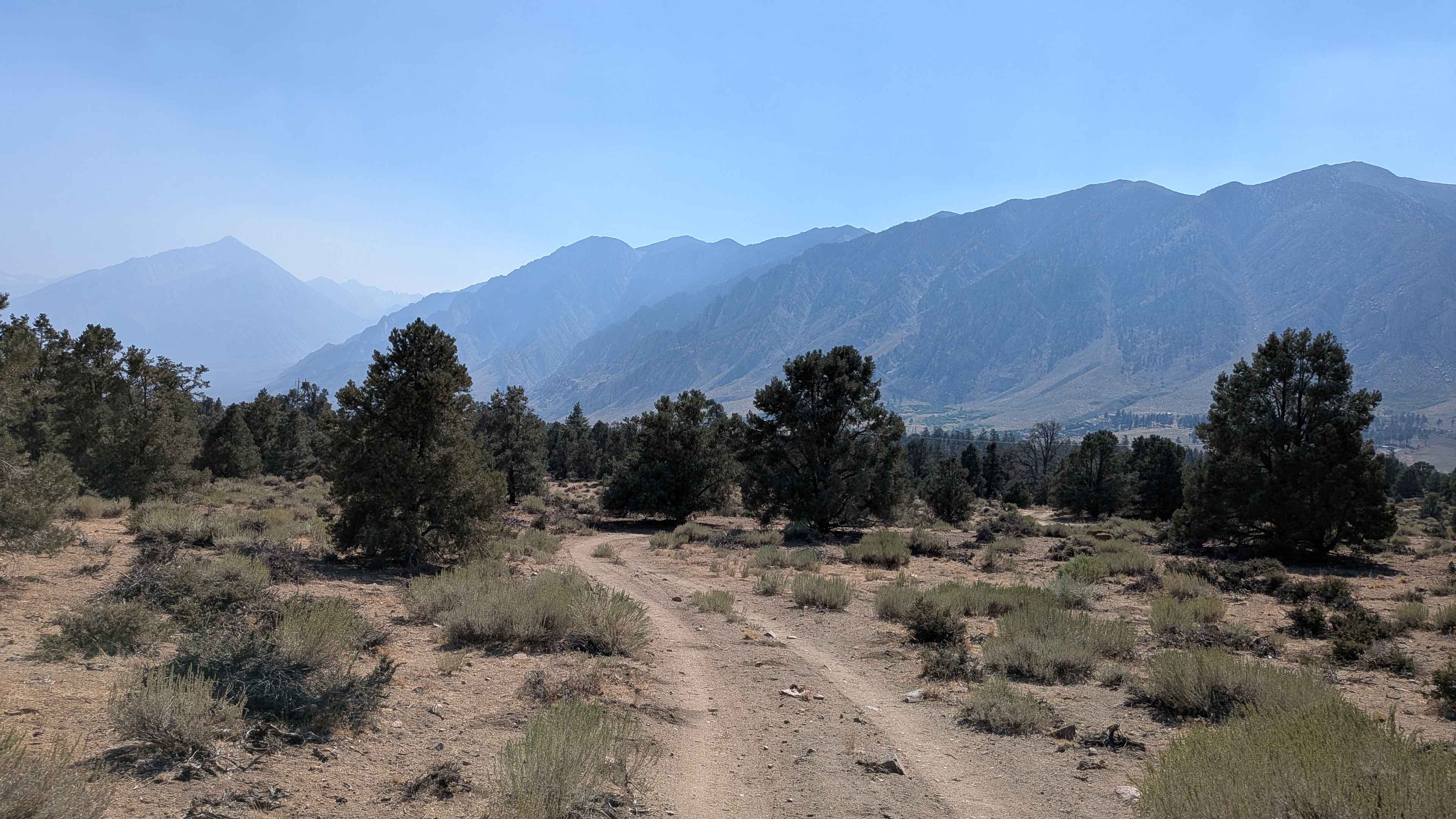
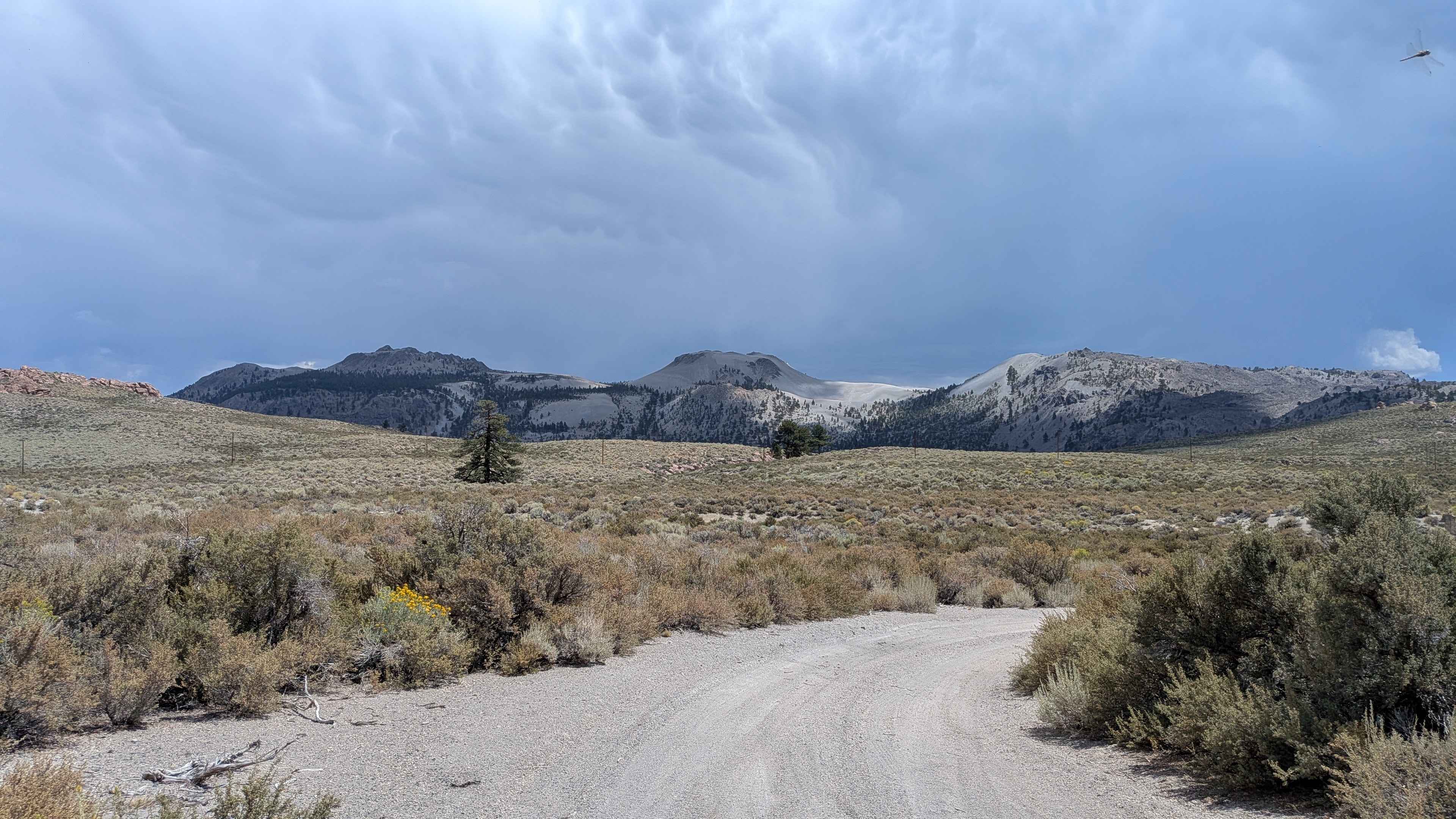
The trail begins just off the northbound side of Highway 395 and quickly introduces you to compact sand mixed with small rocks. Lined with juniper pine trees, it offers sweeping views of the Eastern Sierra, including Mount Tom on one side and the White Mountains on the other. As the route winds through the pine forest, it steadily climbs over 400 feet and drops about 130 feet in less than 2 miles. Taking the right side of the loop, the trail becomes rockier about a mile in before dropping into a small wash with some interesting rock formations. The path isn't heavily traveled, so you may find wildflowers and low bushes growing in the center of the track, with a few slightly overgrown branches brushing the sides. As you continue, the trail surface grows sandier, adding to the variety.
Photos of Forest Service Road 31E311

Difficulty
Mild climbs, sandy stretches, and rocky spots provide light challenges without requiring special equipment beyond a standard high-clearance vehicle.
Status Reports
Forest Service Road 31E311 can be accessed by the following ride types:
- High-Clearance 4x4
- SUV
- SxS (60")
- ATV (50")
- Dirt Bike
Forest Service Road 31E311 Map
Popular Trails

Punch Bowl - FS 1S38

Patton Lode Mine
Pistol Point Trail
The onX Offroad Difference
onX Offroad combines trail photos, descriptions, difficulty ratings, width restrictions, seasonality, and more in a user-friendly interface. Available on all devices, with offline access and full compatibility with CarPlay and Android Auto. Discover what you’re missing today!