Forest Service Road 4S121
Total Miles
2.3
Technical Rating
Best Time
Summer, Fall, Spring
Trail Type
Full-Width Road
Accessible By
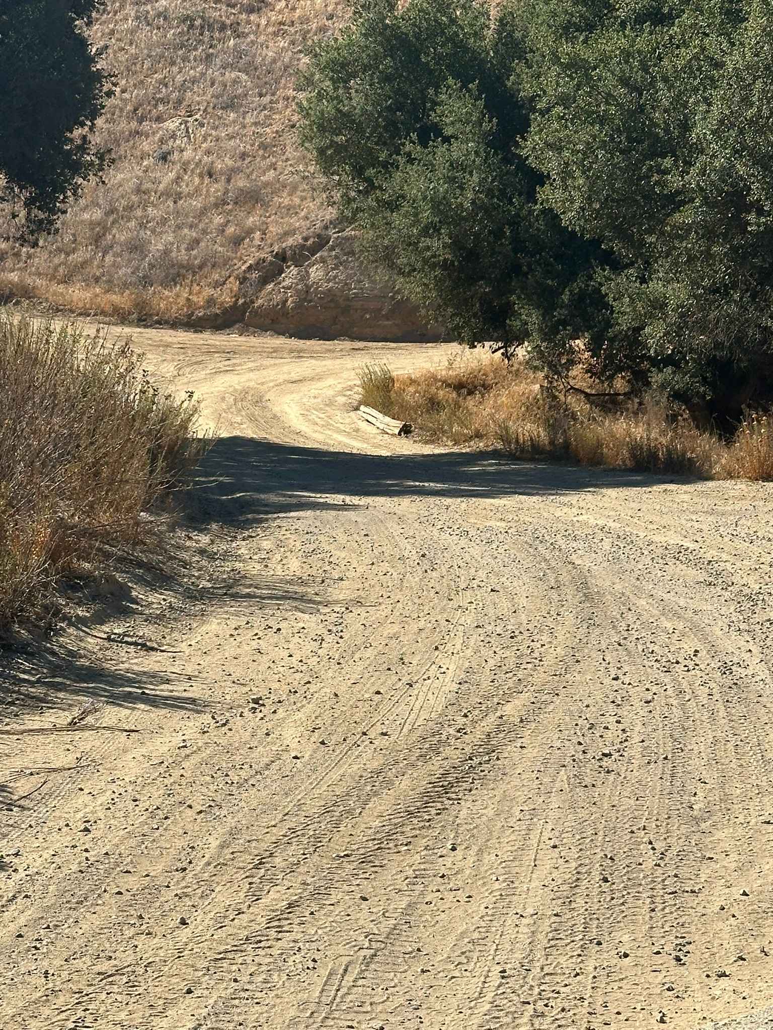
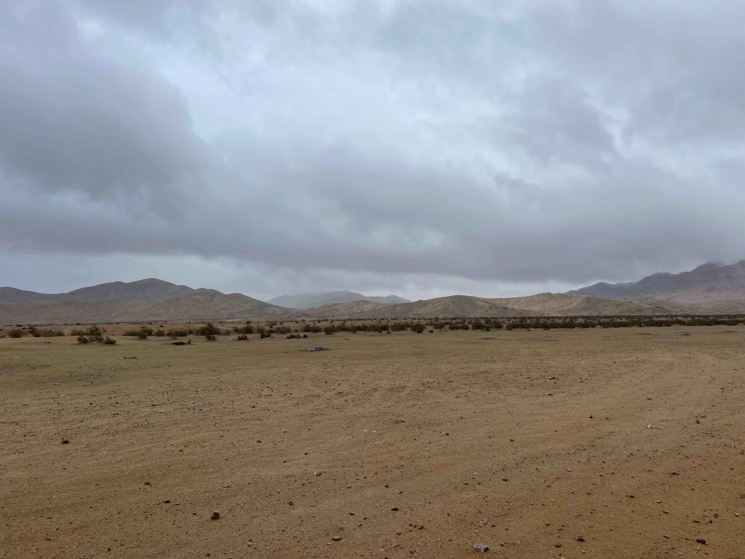
Trail Overview
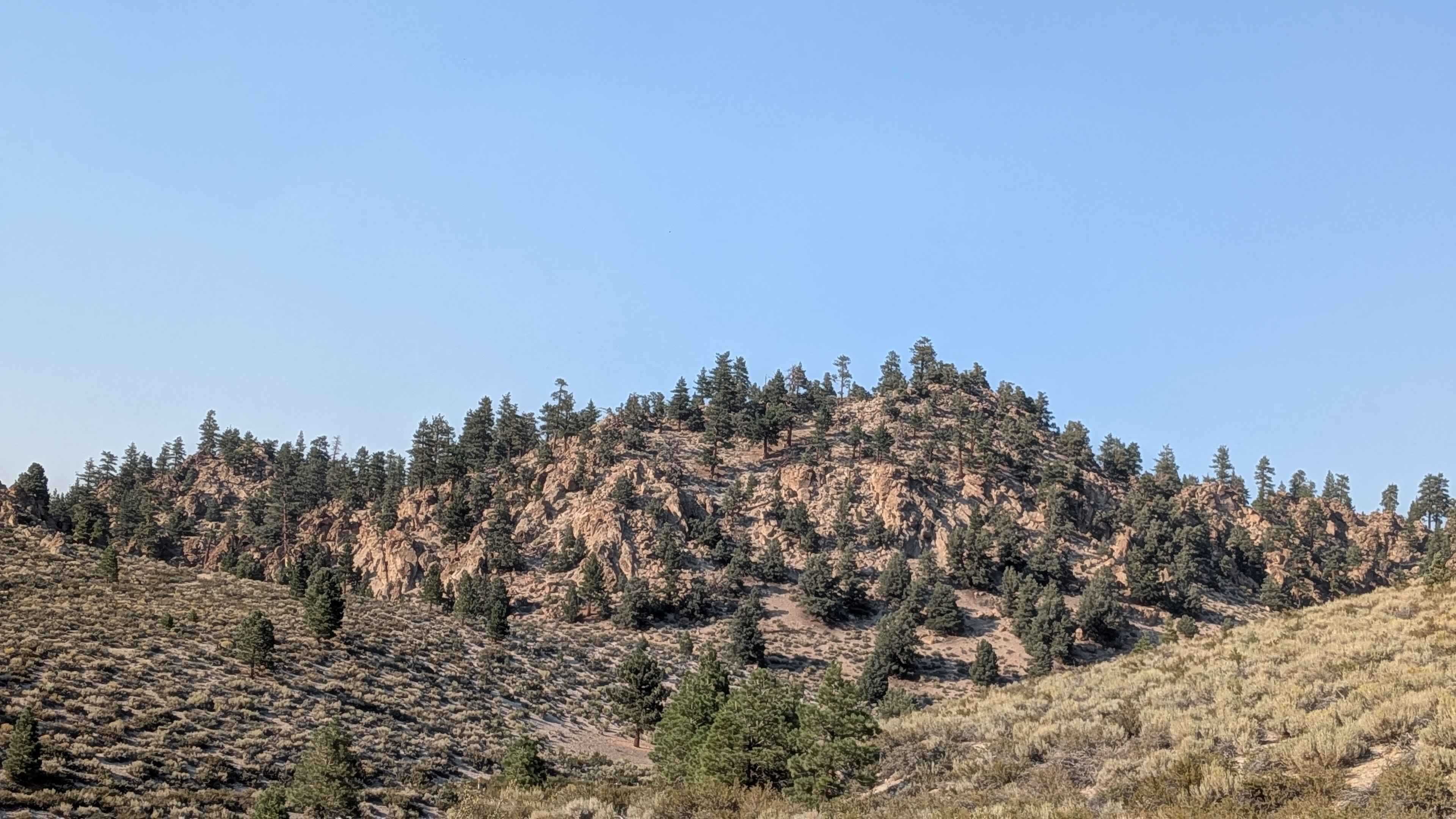
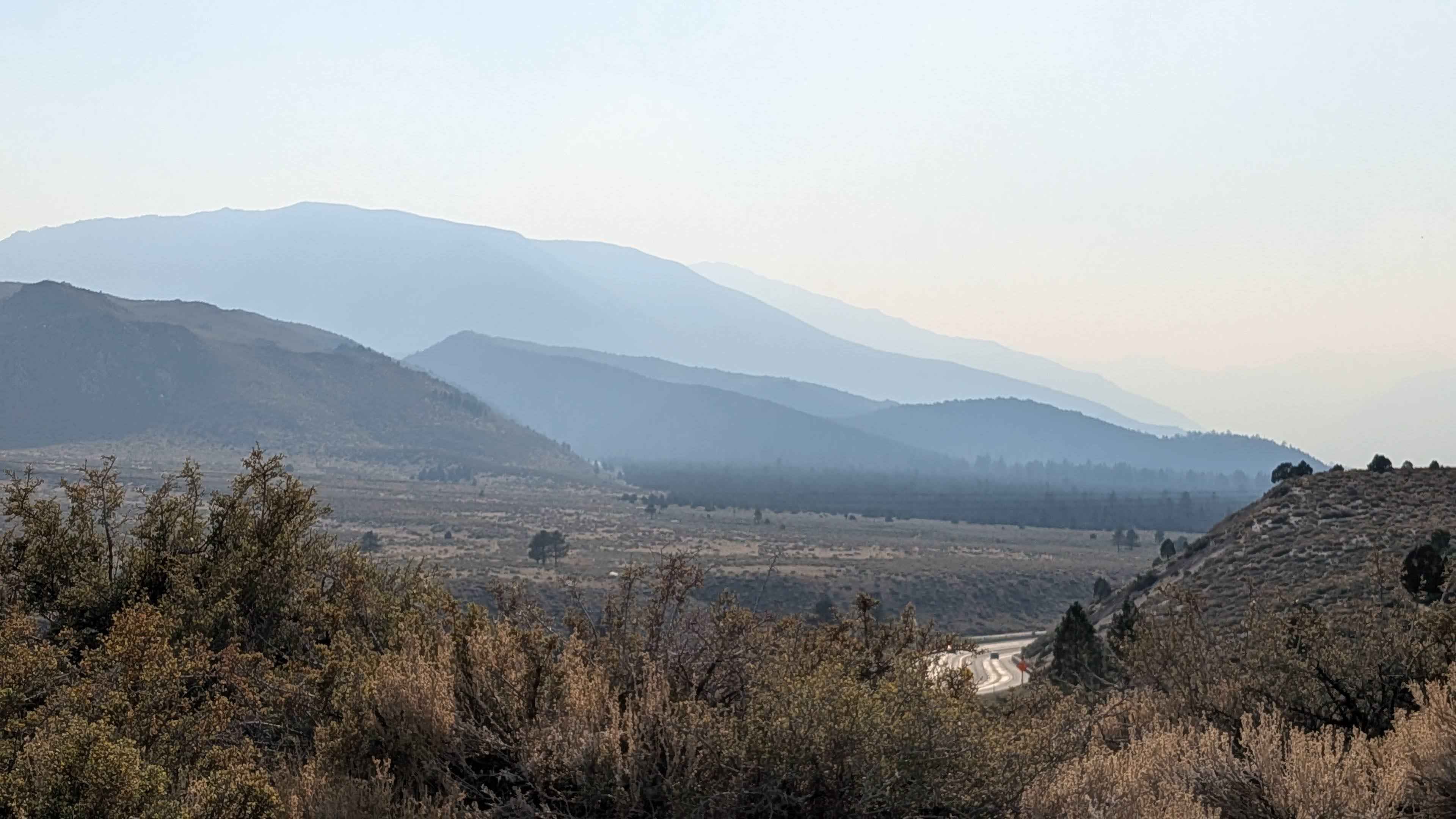
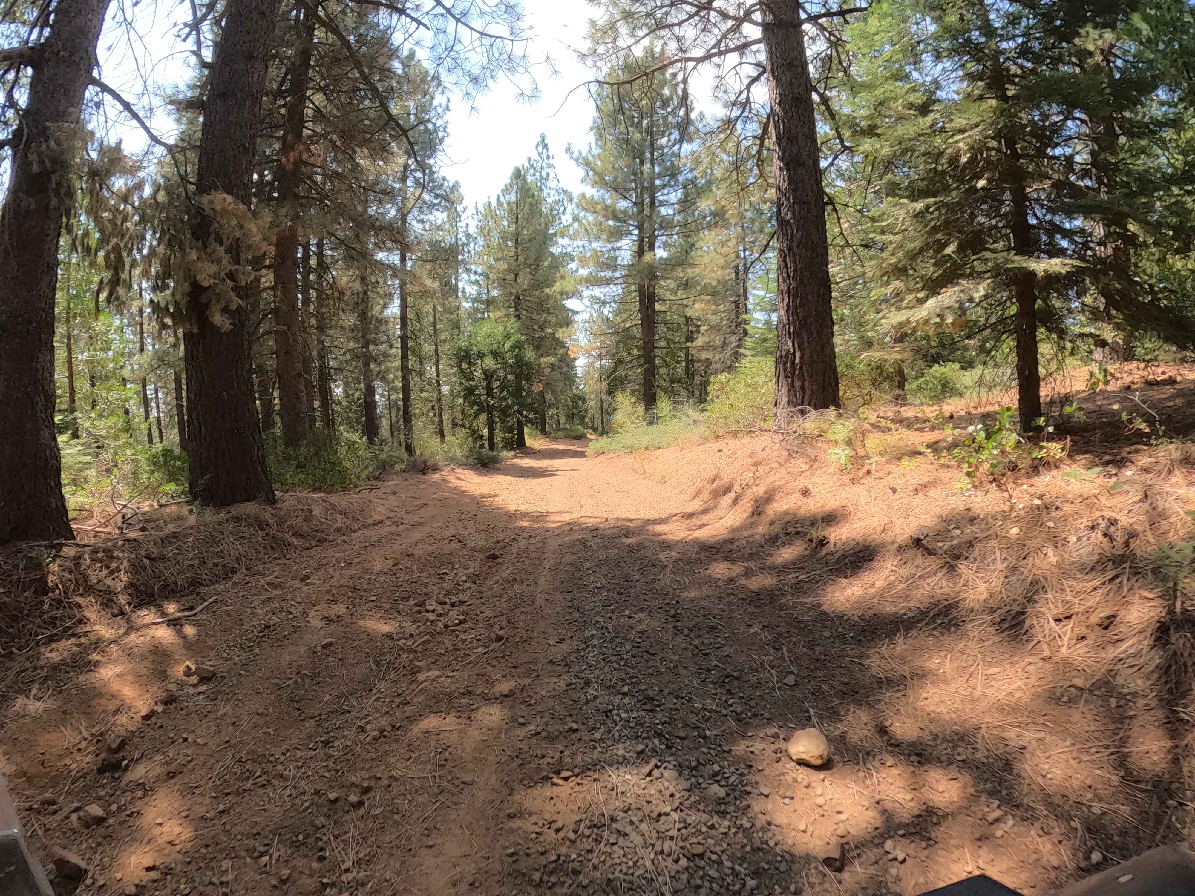
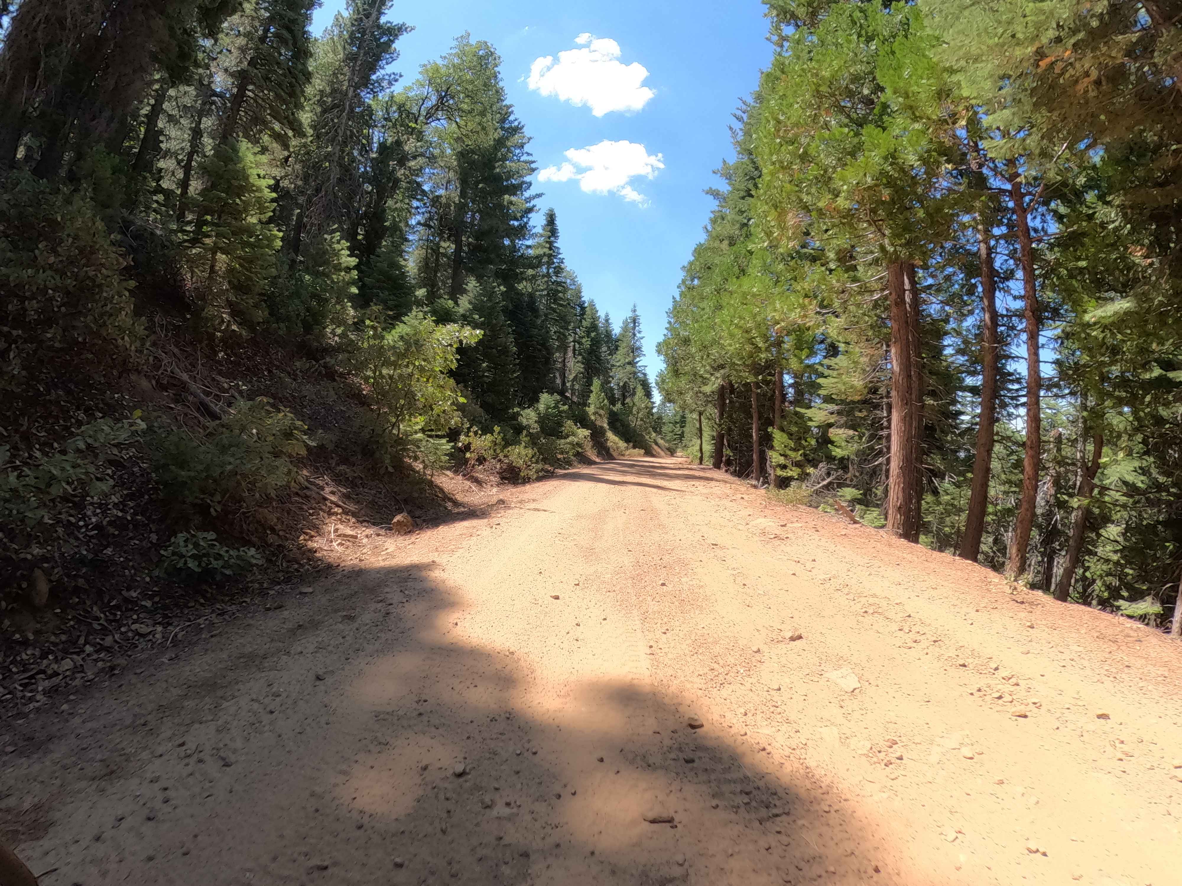
This trail climbs 170 feet and drops 260 feet over just 2.3 miles, winding through a juniper pine forest dotted with brush and striking rock formations. The track offers a scenic, meandering drive through rolling hills with expansive views of the Eastern Sierras, the White Mountains, and dramatic rock features in every direction. The surface is mostly sandy with embedded rocks, though you'll encounter short stretches of gravel, washboards, and rocky patches. The trail alternates between single-lane and two-lane widths, making passing easier in spots. Highlights include glimpses of Rock Creek and Mount Tom, as well as broad vistas as the northern section runs parallel to Highway 395. Despite being a popular route, the scenery makes it worth the traffic.
Photos of Forest Service Road 4S121
Difficulty
Generally manageable for most high-clearance vehicles. Washboards and embedded rocks require some attention, but obstacles are mild.
Status Reports
Forest Service Road 4S121 can be accessed by the following ride types:
- High-Clearance 4x4
- SUV
- SxS (60")
- ATV (50")
- Dirt Bike
Forest Service Road 4S121 Map
Popular Trails
Francis Junction - FS 6S006
Greys Mountain - FS 6S008
Lower City Highline Road
Stoddard Mountain Road
The onX Offroad Difference
onX Offroad combines trail photos, descriptions, difficulty ratings, width restrictions, seasonality, and more in a user-friendly interface. Available on all devices, with offline access and full compatibility with CarPlay and Android Auto. Discover what you’re missing today!