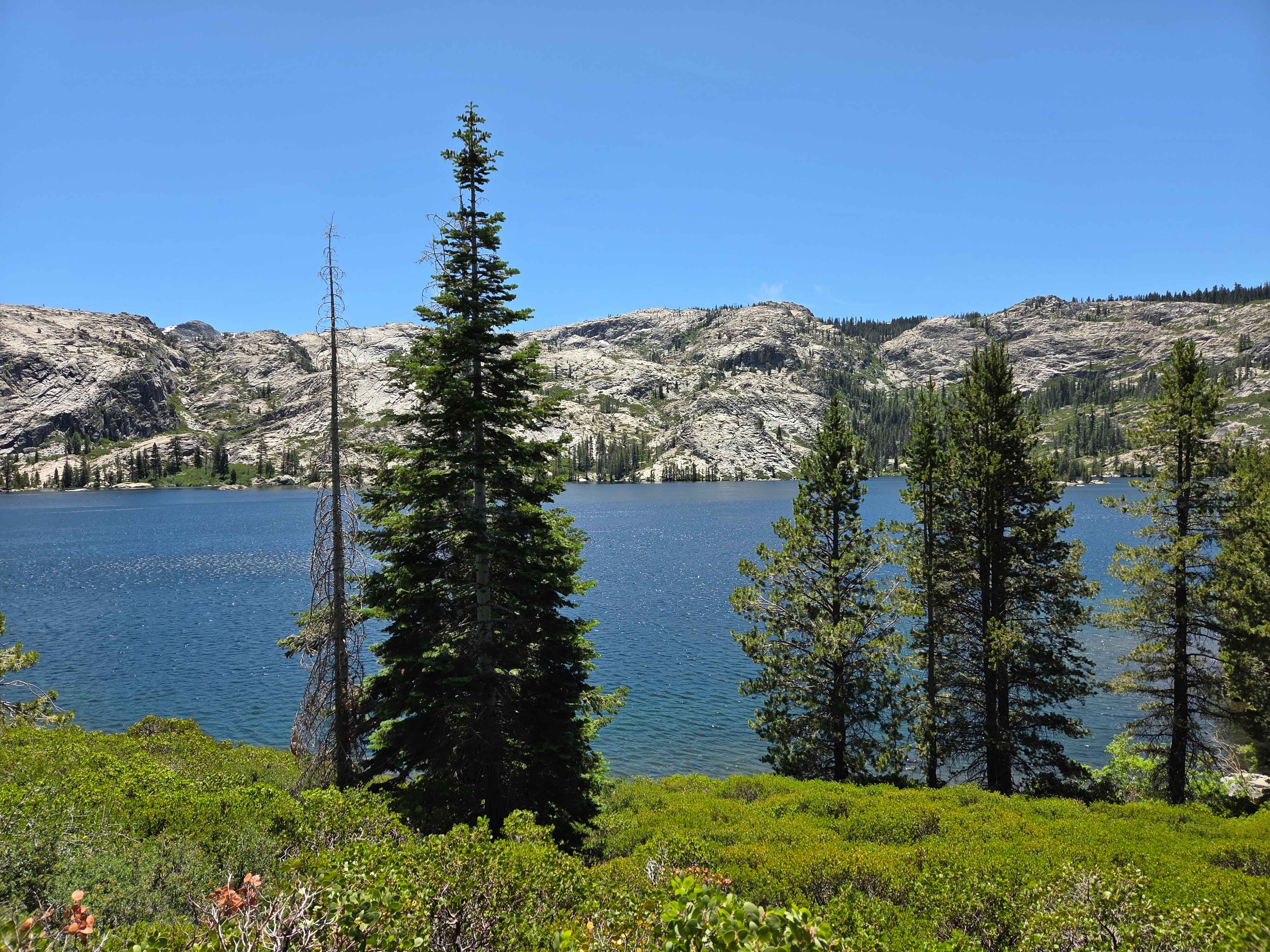
Off-Road Trails in California
Discover off-road trails in California
Learn more about Fairmont Peak Summit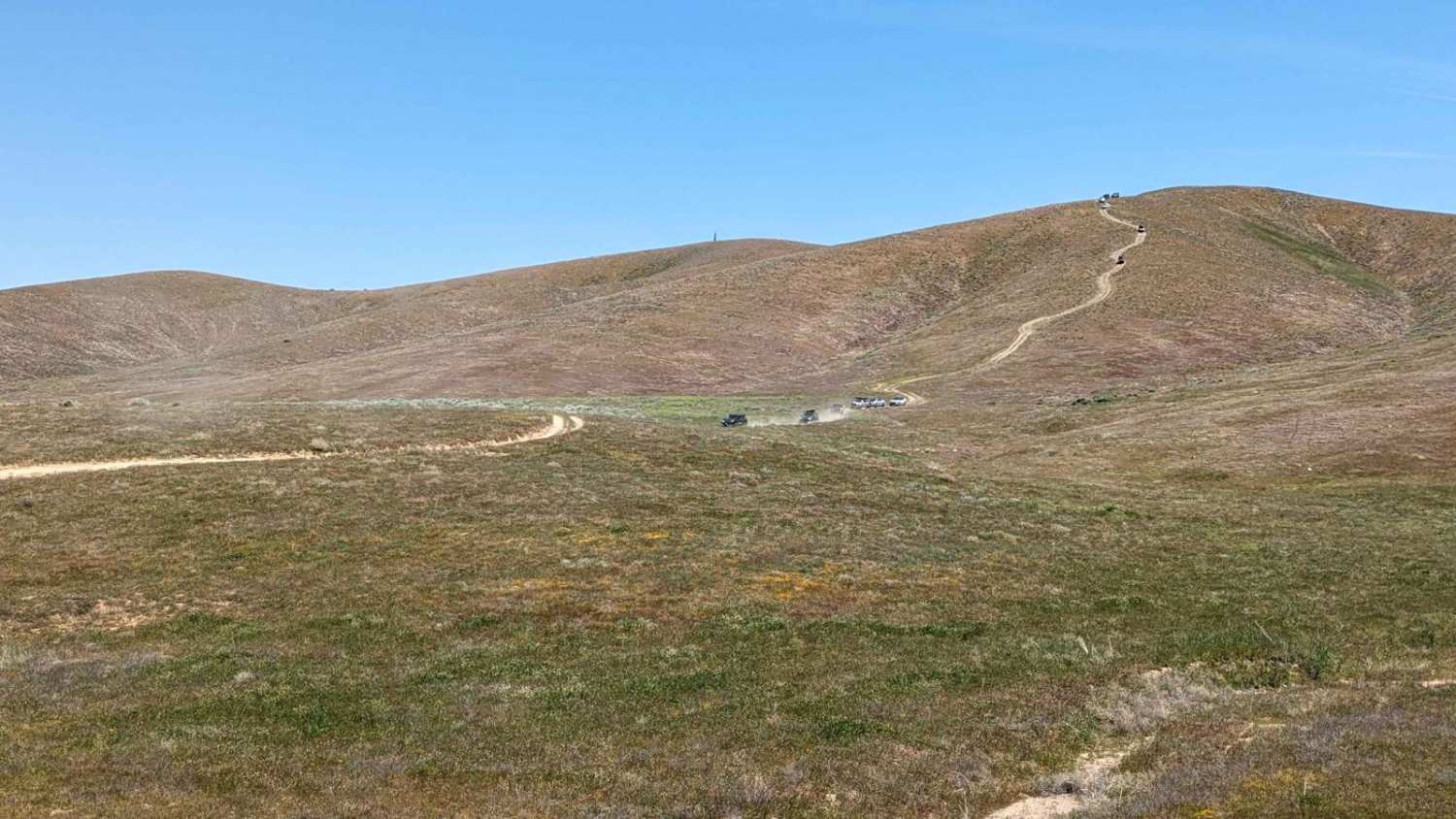
Fairmont Peak Summit
Total Miles
2.4
Tech Rating
Easy
Best Time
Spring, Fall, Winter
Learn more about Fall Road North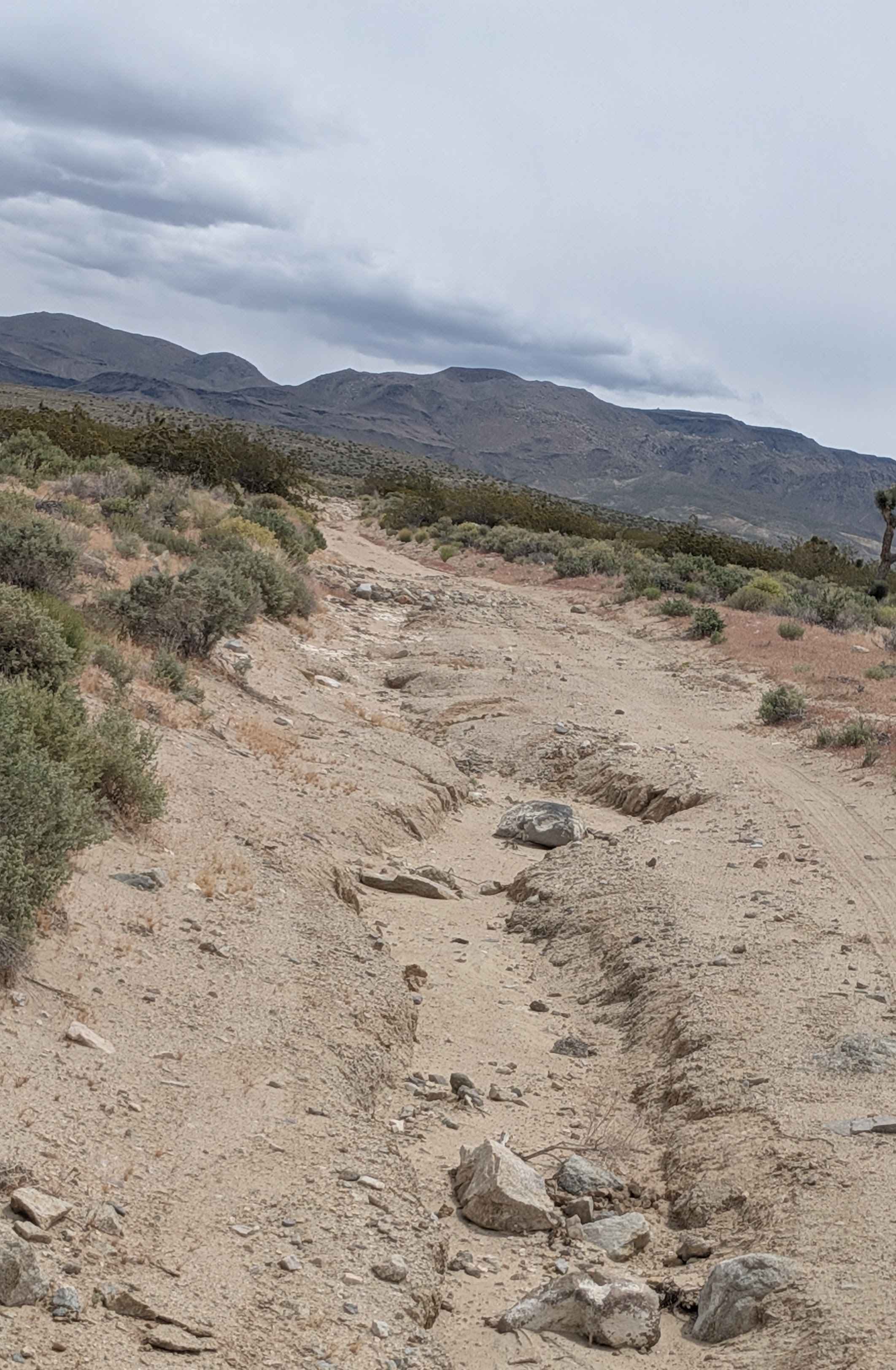
Fall Road North
Total Miles
3.3
Tech Rating
Moderate
Best Time
Summer, Fall, Spring
Learn more about Fargo Canyon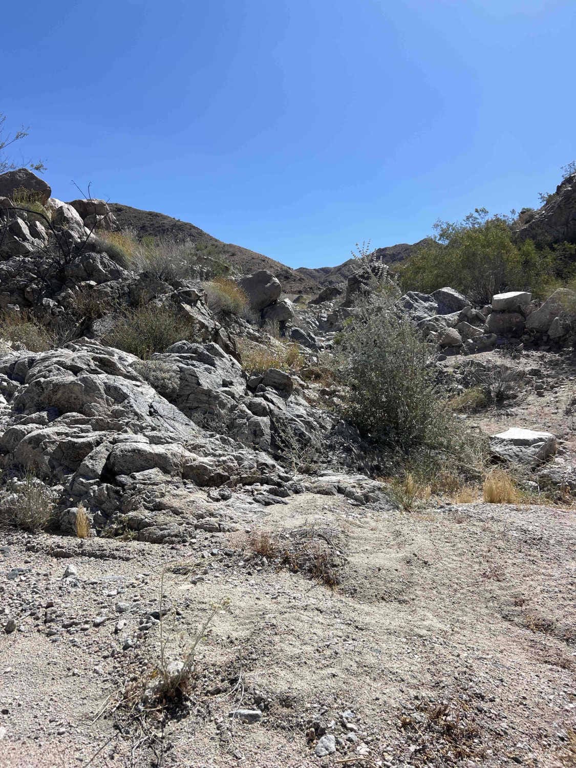
Fargo Canyon
Total Miles
5.4
Tech Rating
Moderate
Best Time
Spring, Fall, Winter
Learn more about Farrington Siphon North
Farrington Siphon North
Total Miles
2.9
Tech Rating
Easy
Best Time
Summer, Spring, Fall, Winter
Learn more about Farrington Siphon South
Farrington Siphon South
Total Miles
3.9
Tech Rating
Easy
Best Time
Fall, Summer, Spring
Learn more about Fault Wash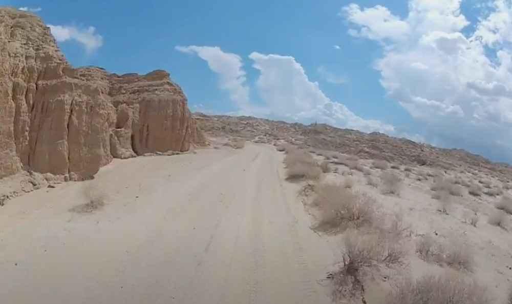
Fault Wash
Total Miles
6.9
Tech Rating
Easy
Best Time
Spring, Summer, Fall, Winter
Learn more about Feliciana Mountain Road - FS 4S012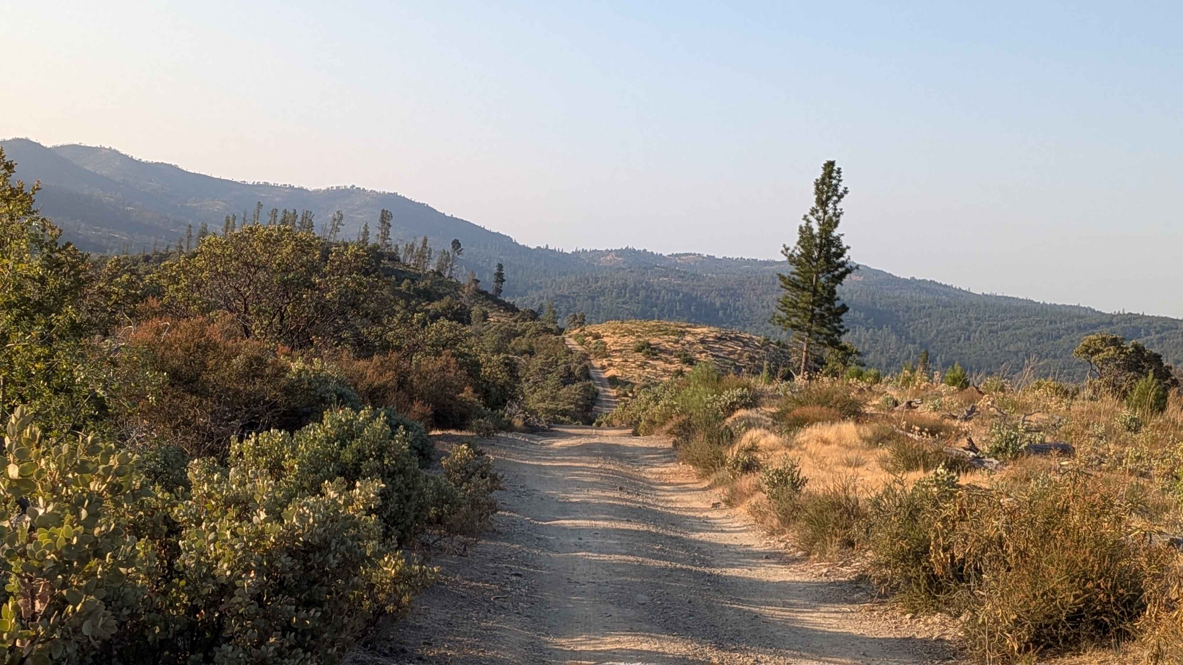
Feliciana Mountain Road - FS 4S012
Total Miles
6.0
Tech Rating
Easy
Best Time
Fall, Summer, Spring
Learn more about Fence Creek Road - FS 6N06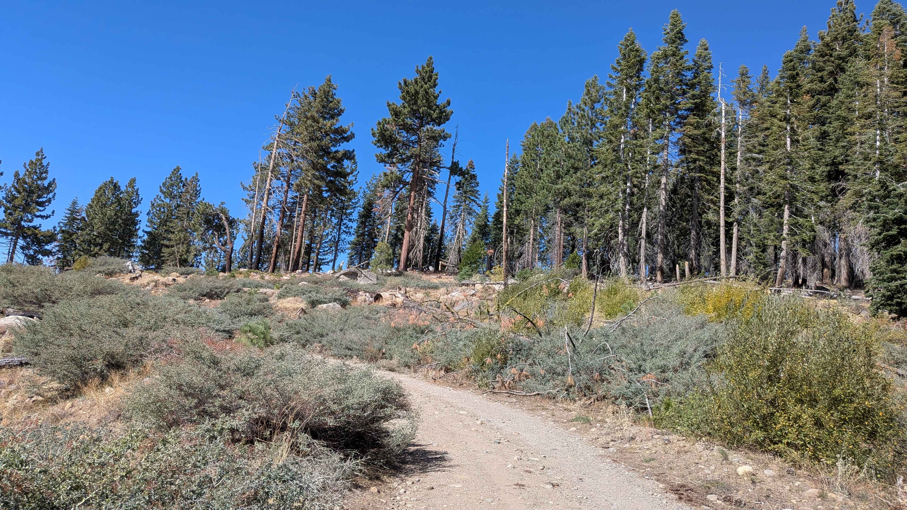
Fence Creek Road - FS 6N06
Total Miles
6.2
Tech Rating
Easy
Best Time
Summer, Fall
Learn more about Ferguson Gulch - FS 3S023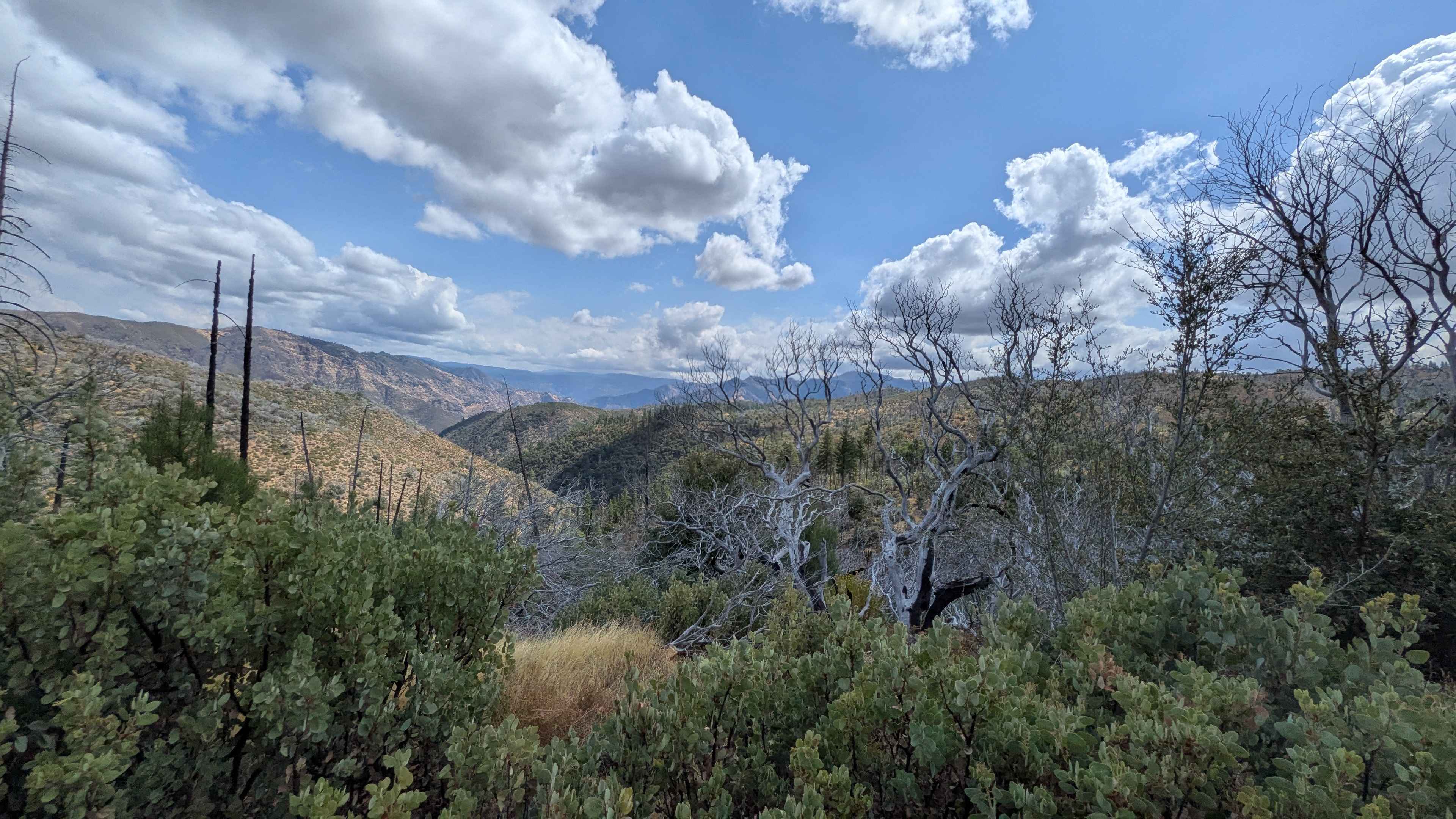
Ferguson Gulch - FS 3S023
Total Miles
0.9
Tech Rating
Easy
Best Time
Fall, Summer
Learn more about Ferguson Ridge - FS 3S004
Ferguson Ridge - FS 3S004
Total Miles
6.3
Tech Rating
Easy
Best Time
Summer, Fall, Spring
Learn more about Ferguson River Run
Ferguson River Run
Total Miles
10.0
Tech Rating
Moderate
Best Time
Spring, Fall, Summer
Learn more about Finning Mill Road
Finning Mill Road
Total Miles
7.2
Tech Rating
Easy
Best Time
Spring, Summer, Fall
Learn more about Fir Camp - FS 24S22
Fir Camp - FS 24S22
Total Miles
0.9
Tech Rating
Easy
Best Time
Fall, Summer, Spring
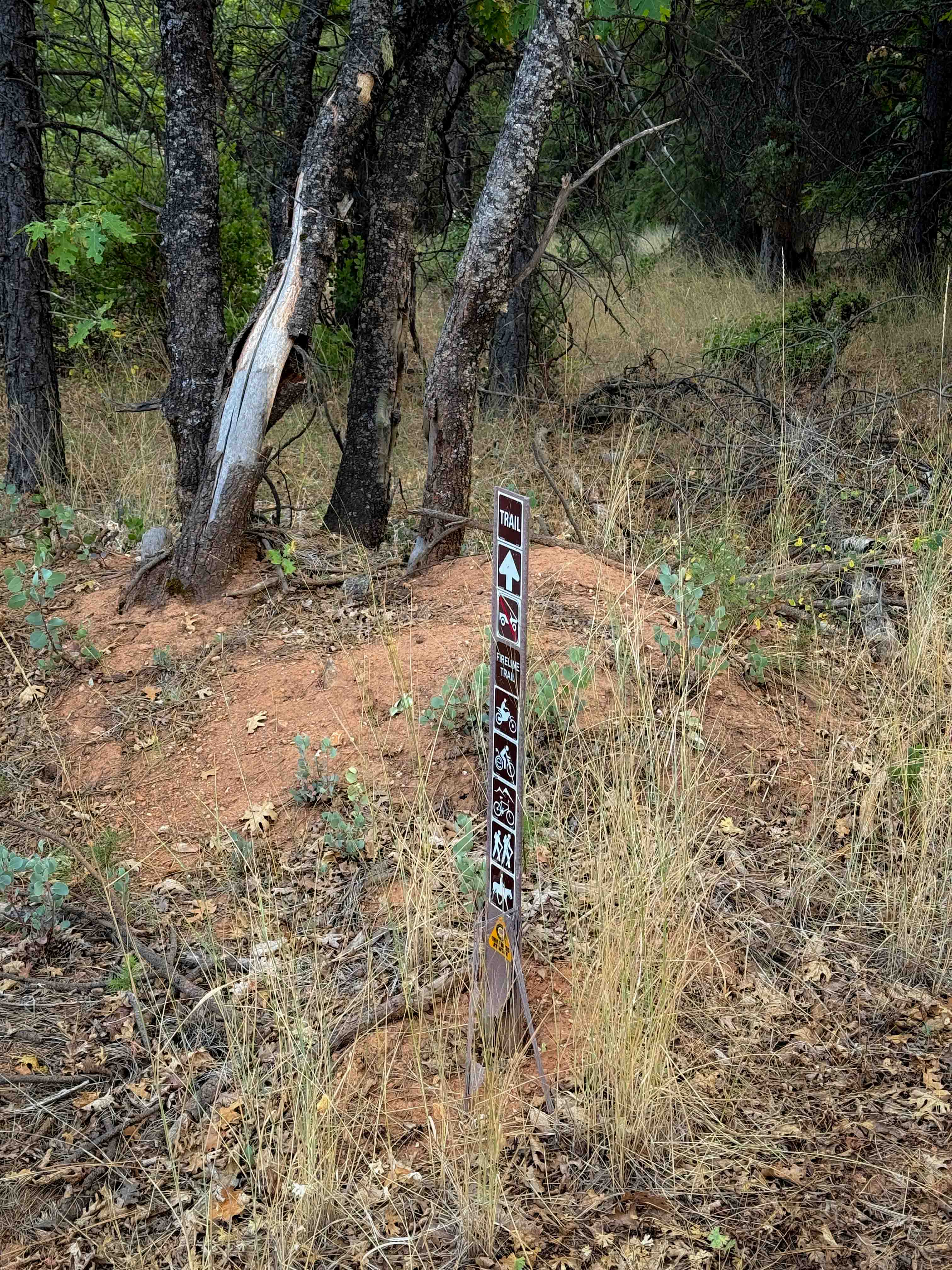
Learn more about Firebreak Trail
Firebreak Trail
Total Miles
0.9
Tech Rating
Moderate
Best Time
Spring, Summer, Fall, Winter
Learn more about Fish Creek Wash
Fish Creek Wash
Total Miles
18.5
Tech Rating
Easy
Best Time
Spring, Summer, Fall, Winter
Learn more about Fish Creek West - FS 7S007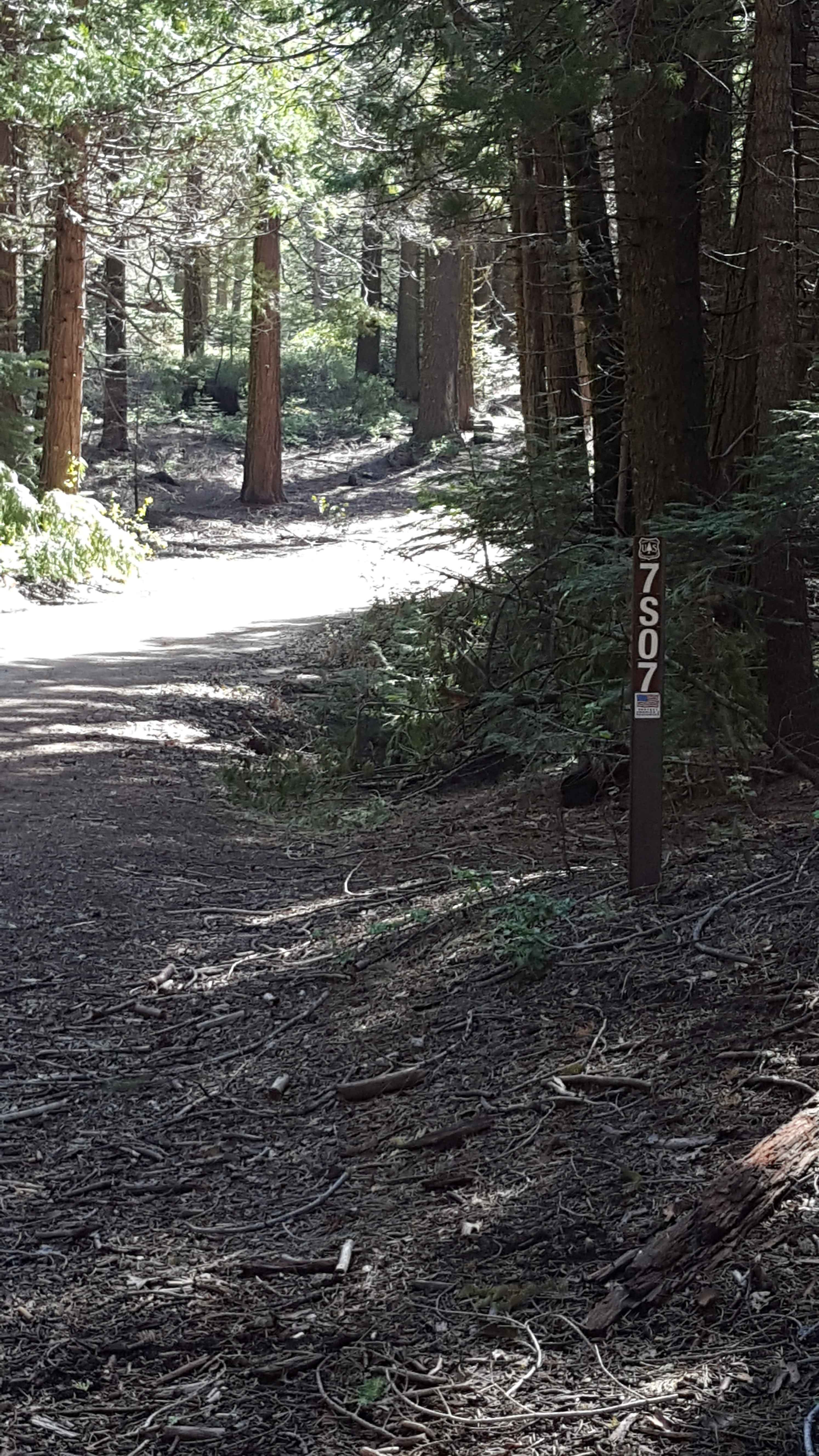
Fish Creek West - FS 7S007
Total Miles
7.8
Tech Rating
Easy
Best Time
Spring, Summer, Fall
Learn more about Fish Head Rocks to Trona Pinnacles
Fish Head Rocks to Trona Pinnacles
Total Miles
3.5
Tech Rating
Easy
Best Time
Spring, Fall, Winter
ATV trails in California


UTV/side-by-side trails in California


Learn more about 3N267 Fenner Saddle (4N12)
3N267 Fenner Saddle (4N12)
Total Miles
3.8
Tech Rating
Difficult
Best Time
Spring, Summer, Fall, Winter

The onX Offroad Difference
onX Offroad combines trail photos, descriptions, difficulty ratings, width restrictions, seasonality, and more in a user-friendly interface. Available on all devices, with offline access and full compatibility with CarPlay and Android Auto. Discover what you’re missing today!