Fault Wash
Total Miles
6.9
Technical Rating
Best Time
Spring, Summer, Fall, Winter
Trail Type
Full-Width Road
Accessible By
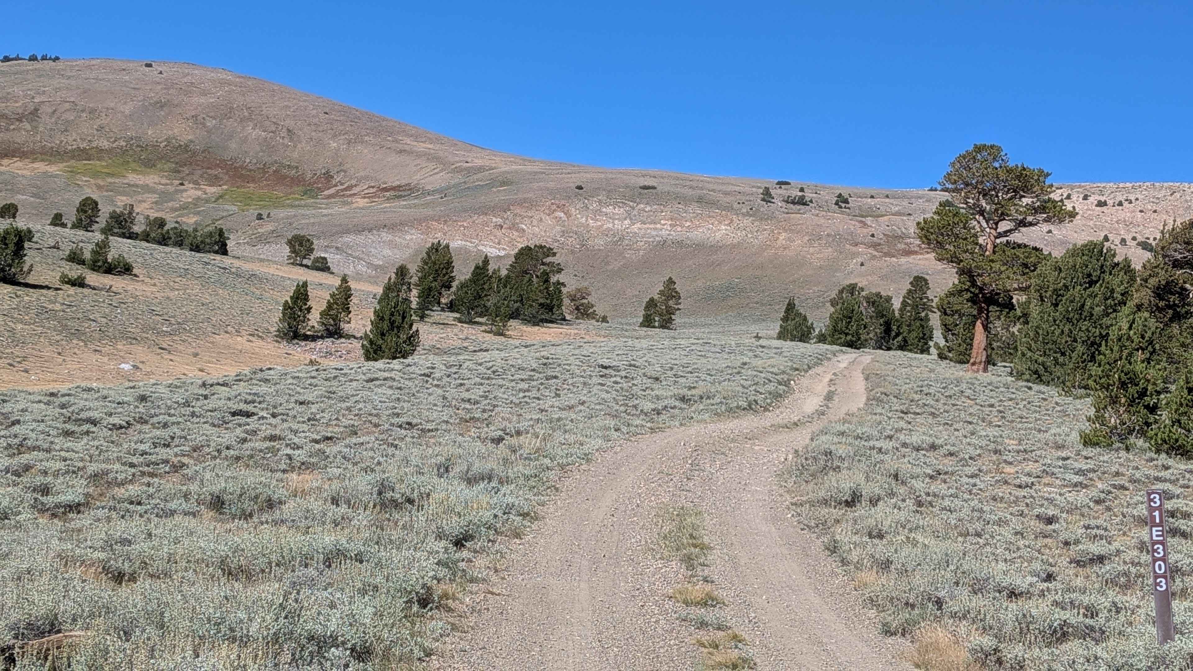
Trail Overview
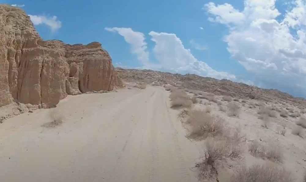
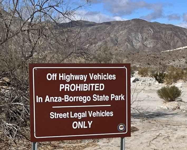
Fault Wash is a point-to-point trail rated 3 of 10 within both the Anza-Borrego Desert State Park and the Ocotillo Wells State Vehicular Recreation Area. The north end of the trail starts within the ABDSP at the intersection with Short Wash. The south end of the trails meets Benson Lake Loop on the north side of the Ocotillo Airport and is a short trip over to Highway 78. Running north to south, Fault Wash starts on the eastern side of the Borrego Badlands and is defined by a sandy base with one side of the wash having a 30-foot-high mud wall. After traveling south about 3.5 miles, the wash will open up into the drainage plain and the wash itself will widen considerably. The ABDSP section of this trail is limited to street-legal vehicles only, while the southern section within the Ocotillo Wells SVRA is open to all recreational vehicles. The wash slopes north to south with a roughly 600-foot elevation change. This wash is particularly dangerous during rains or flooding as the elevation change increases water flow. After rain storms in the mountains or the local area, the wash is well known for the mud. Major trails that Fault Wash crosses include Cut Across Trail and Shell Reef Expressway. All canyons and washes in the area are subject to flash floods. Travelers should watch the weather reports for the mountains to the west. There are cell towers along S22 and Highway 78, so reception is available through much of the trail. The nearest services are located in Borrego Springs to the northwest and Salton City to the northeast.
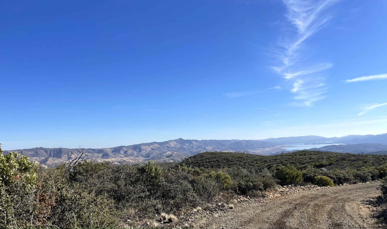
Photos of Fault Wash
Difficulty
The trail consists of loose rocks, dirt, and sand with some slick rock surfaces and mud holes possible. No steps are higher than 12 inches. 4WD may be required, and aggressive tires are a plus.
History
Anza-Borrego Desert State Park is a California State Park located within the Colorado Desert of southern California, United States. The park takes its name from 18th-century Spanish explorer Juan Bautista de Anza and the Spanish word borrego, which literally means "lamb" but is also used to describe the desert bighorn sheep. With nearly 600,000 acres, it is the largest state park in California as well as the 48 contiguous states. The park has varied topography that includes dry lake beds, badlands, and mountains that rise above 5,500 feet (1,675 meters). Two-thirds of the park's area is designated as wilderness, and cactus, yucca, and ocotillo are abundant throughout. Among the park's attractions are groves of California fan palms and a profusion of wildflowers that bloom in mid-to-late winter. Deer, kit foxes, iguanas, rattlesnakes, roadrunners, eagles, and the endangered desert bighorn sheep are all found within the park.
Status Reports
Fault Wash can be accessed by the following ride types:
- High-Clearance 4x4
- SUV
Fault Wash Map
Popular Trails
Hellhole 4WD
The onX Offroad Difference
onX Offroad combines trail photos, descriptions, difficulty ratings, width restrictions, seasonality, and more in a user-friendly interface. Available on all devices, with offline access and full compatibility with CarPlay and Android Auto. Discover what you’re missing today!