Roadrunner Rut - BLM S1421
Total Miles
4.1
Technical Rating
Best Time
Spring, Fall, Winter
Trail Type
Full-Width Road
Accessible By
Trail Overview
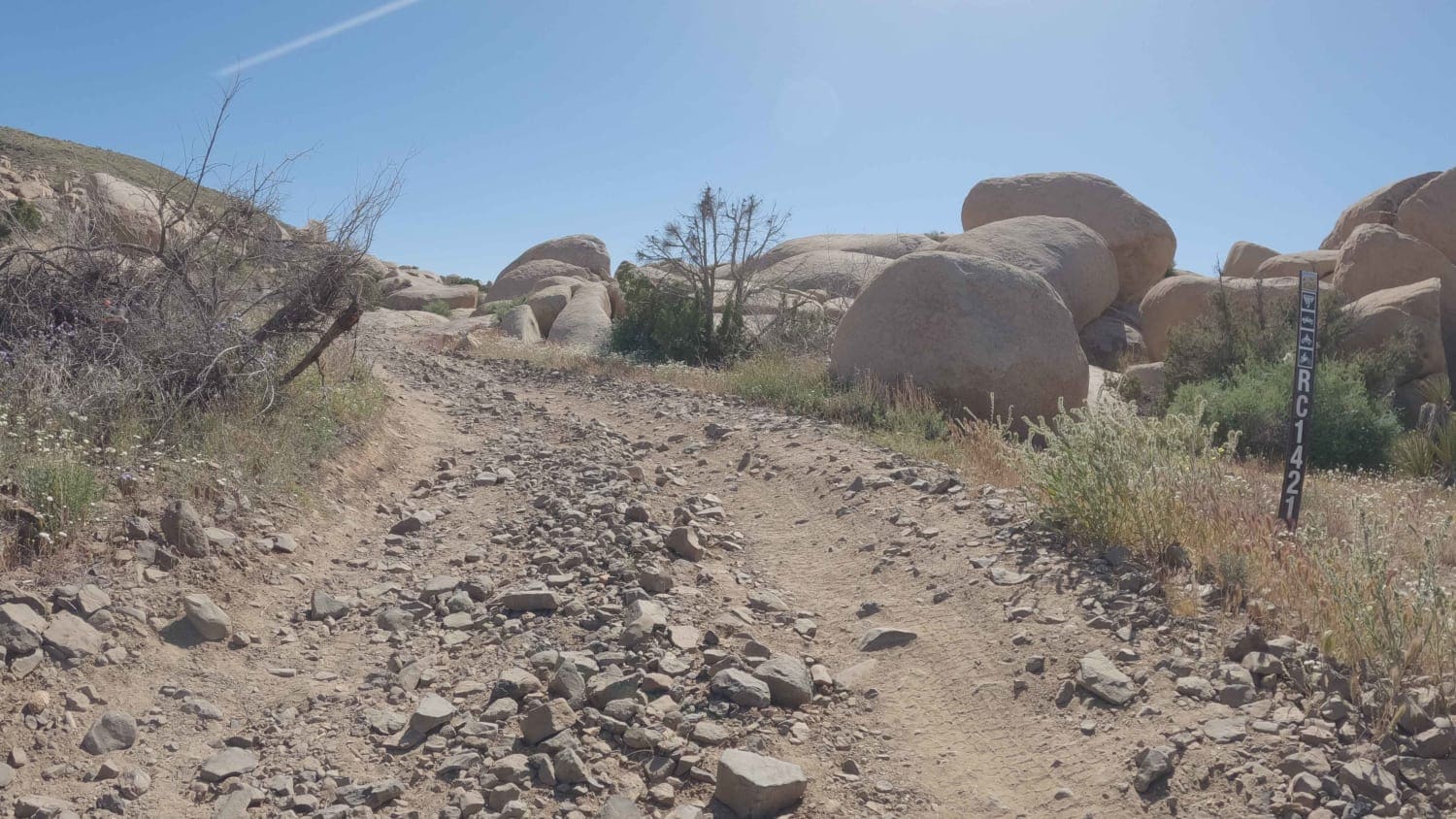
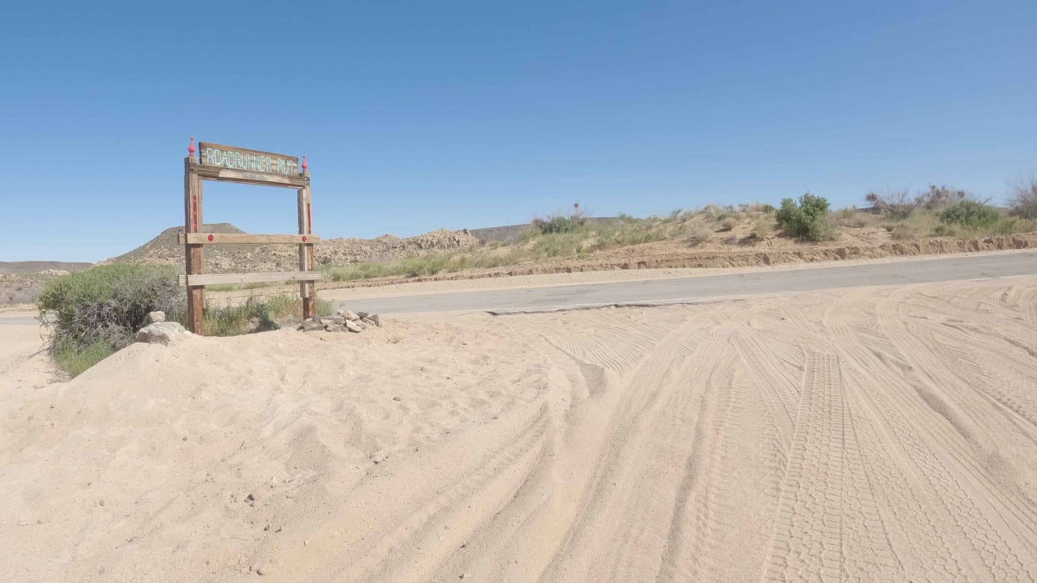
Roadrunner Rut is an easy dirt road that climbs into the jumbo boulder gardens and skirts along Black Lava Butte. It changes its name to BLM S1421 as it crosses into BLM lands and descends towards a network of sandy BLM roads in the washes that litter the boulder fields in this area. Roadrunner Rut is on the Northern Edge of Pioneertown, CA, a historic and popular attraction. There are numerous Airbnb properties along this road. Respect private property signs and stay on the marked road. The road surface becomes rougher and less used as it passes into BLM land.
Photos of Roadrunner Rut - BLM S1421
Difficulty
This is an easy dirt road connecting to a larger network of BLM roads.
Status Reports
Roadrunner Rut - BLM S1421 can be accessed by the following ride types:
- High-Clearance 4x4
- SUV
Roadrunner Rut - BLM S1421 Map
Popular Trails
Rouse Hill Road

Boulder Dash
West Malum Ridge - FS 7S075
Sardine Lakes
The onX Offroad Difference
onX Offroad combines trail photos, descriptions, difficulty ratings, width restrictions, seasonality, and more in a user-friendly interface. Available on all devices, with offline access and full compatibility with CarPlay and Android Auto. Discover what you’re missing today!
