Trail Overview
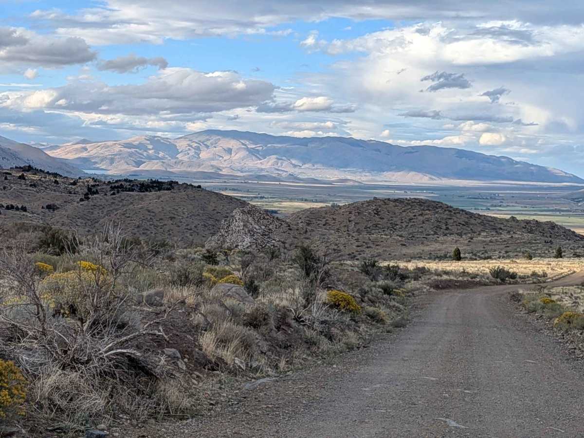
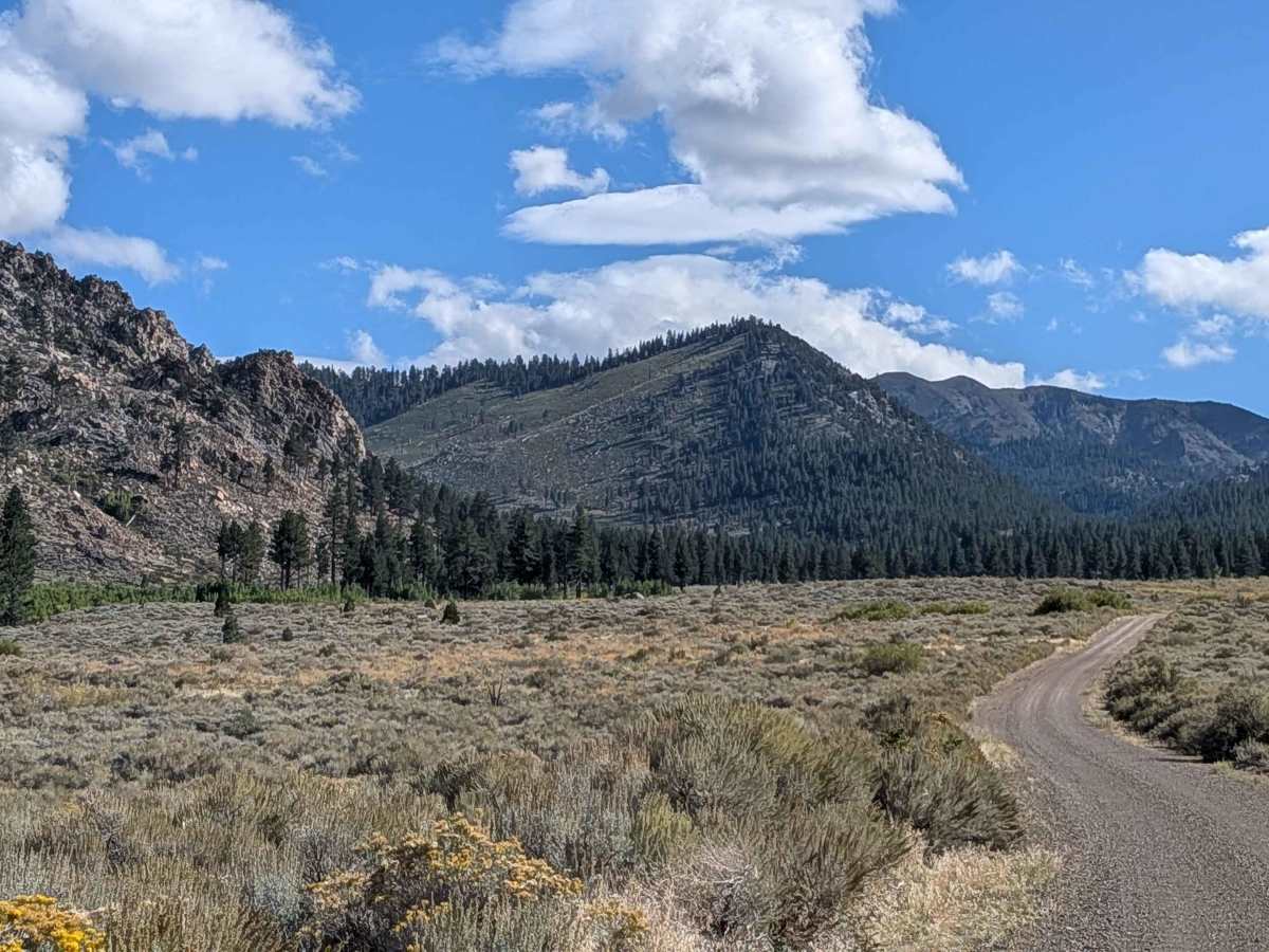
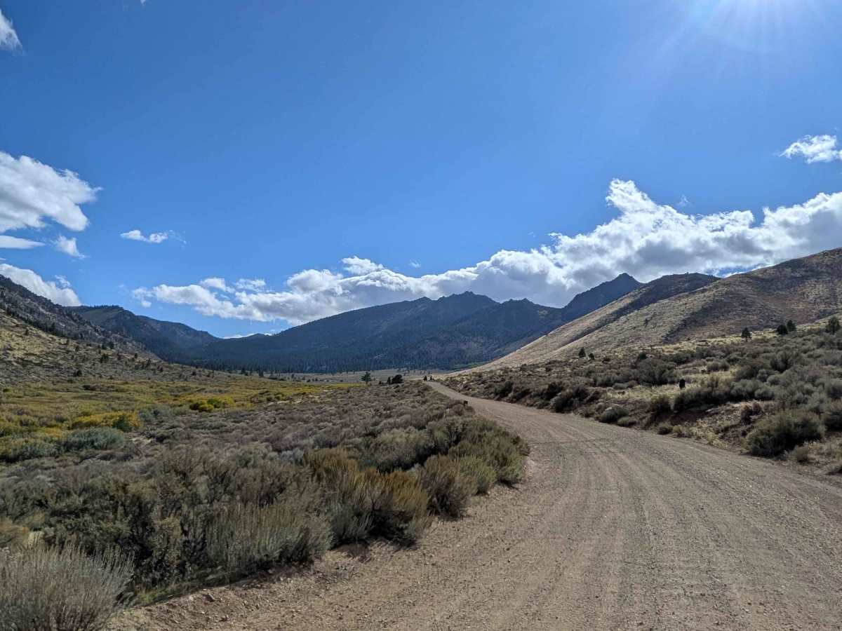
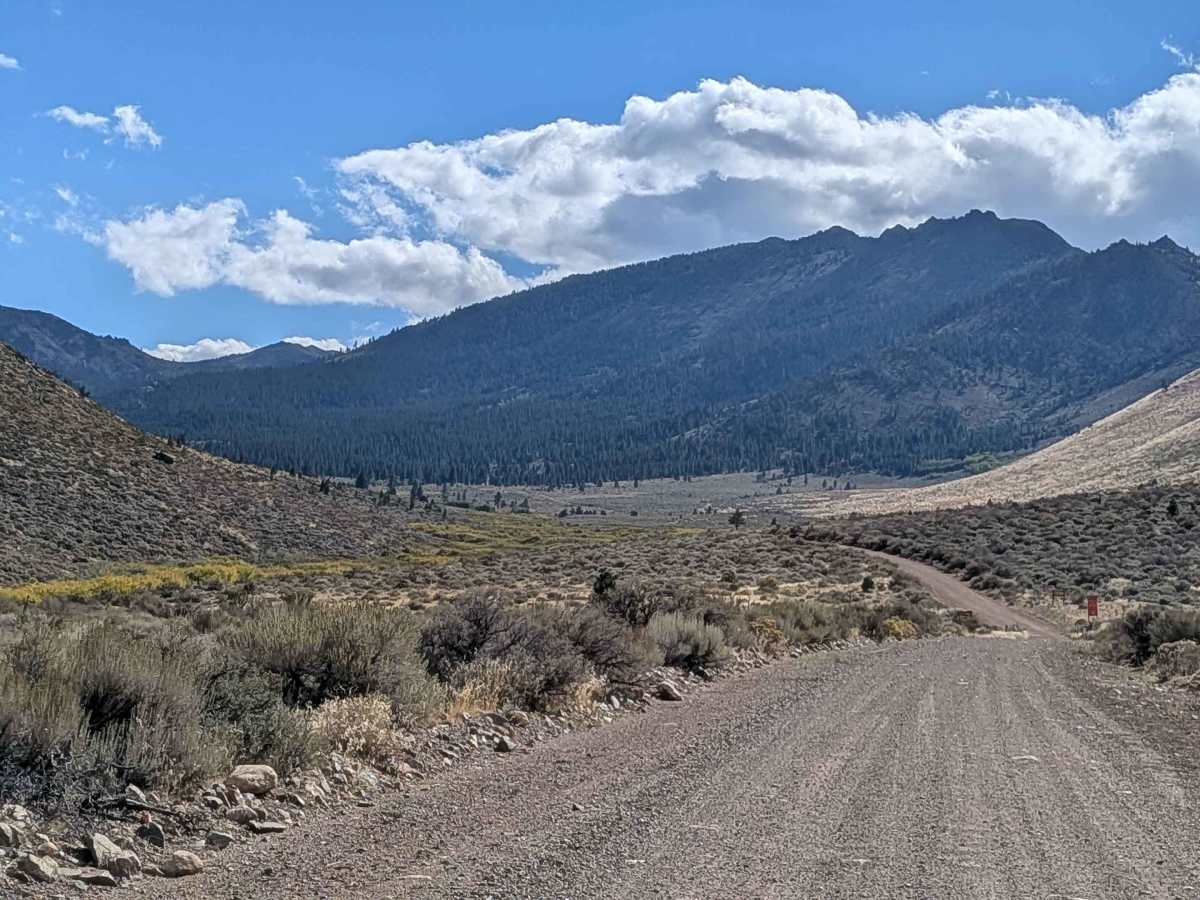
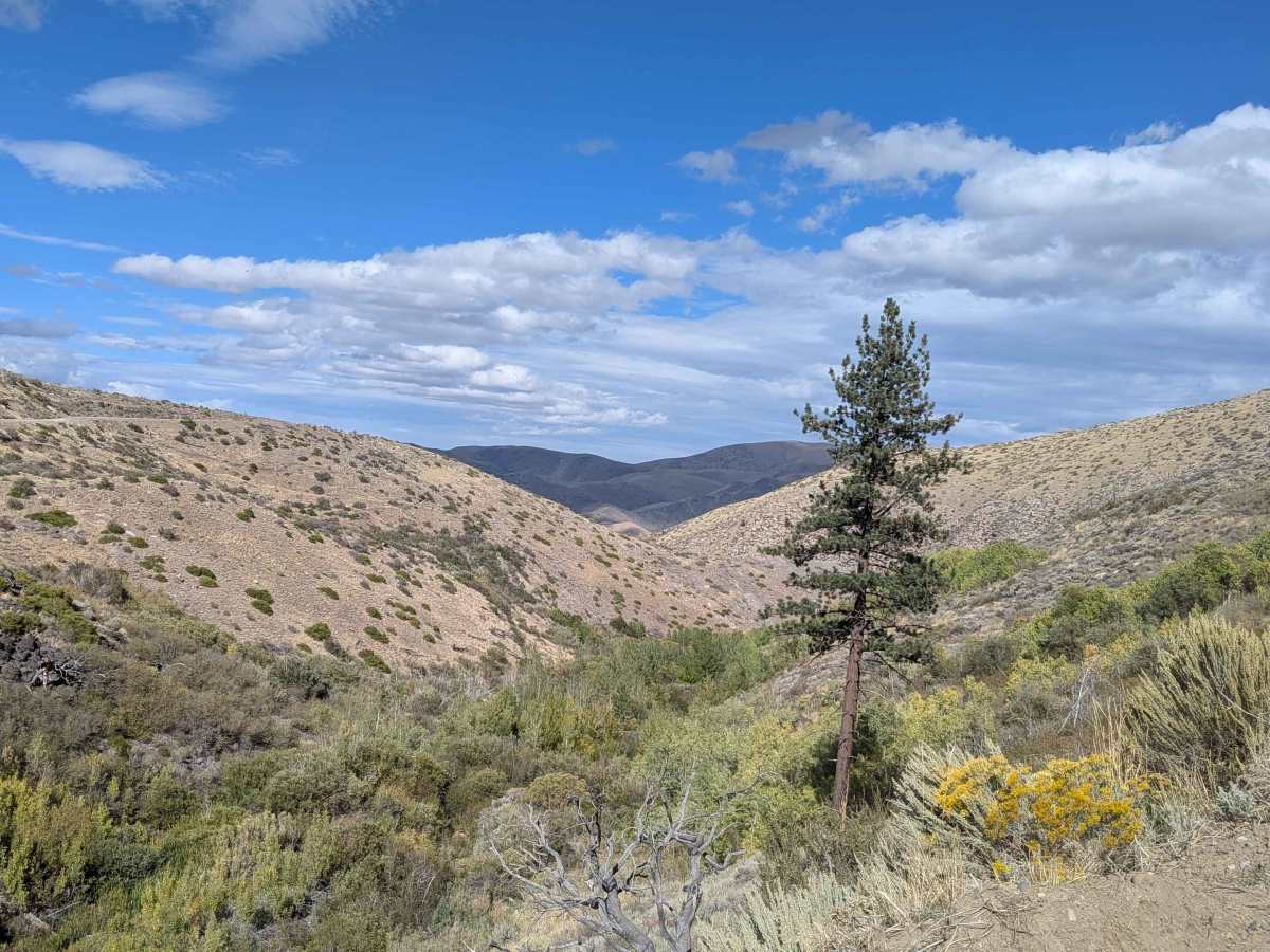
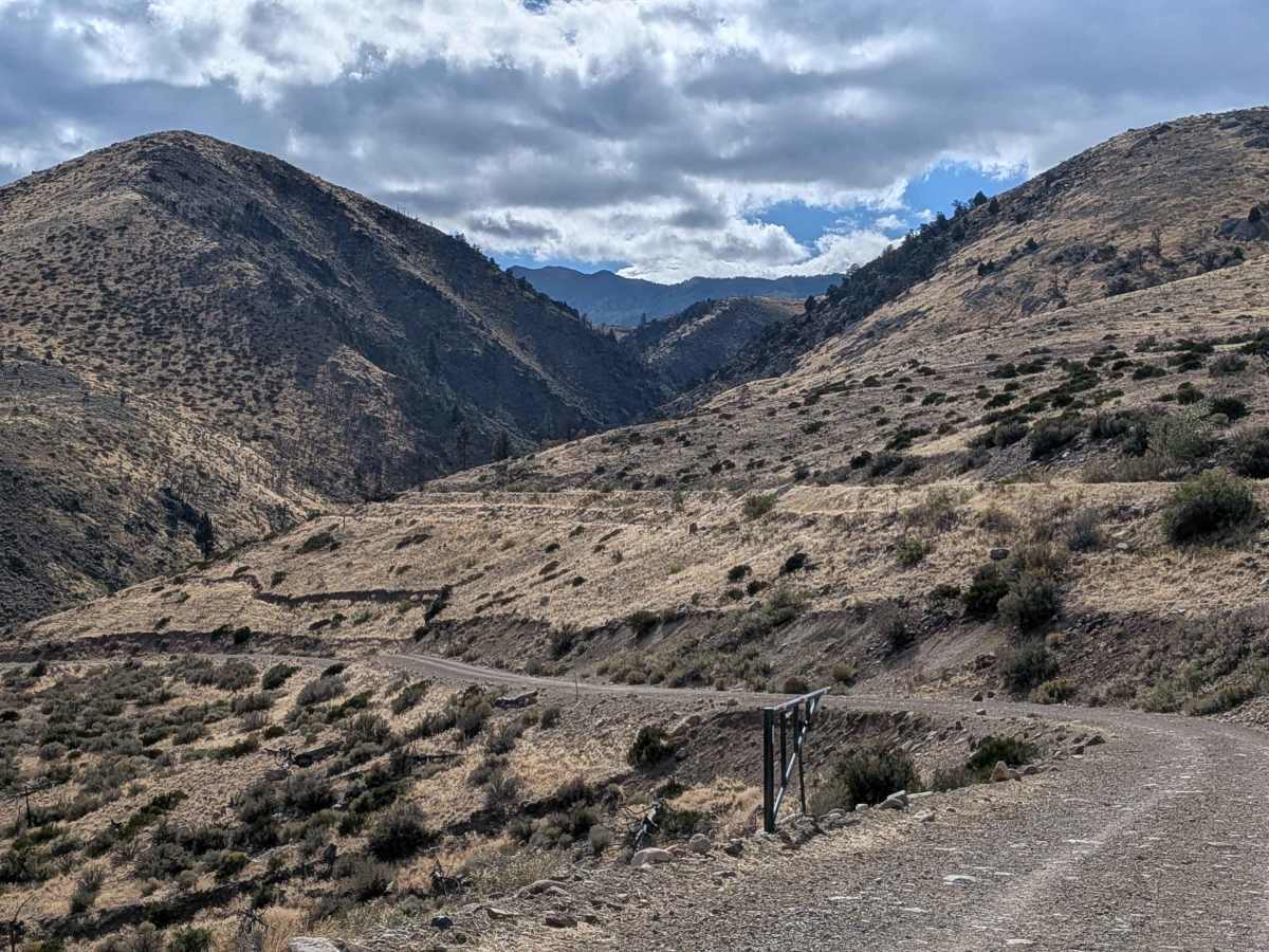
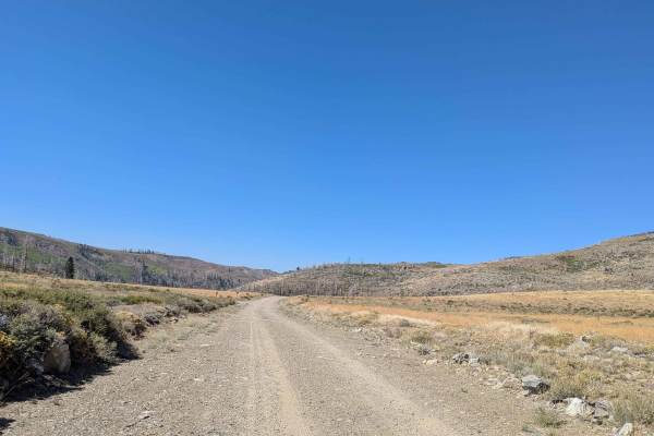
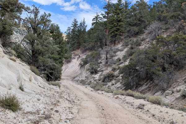
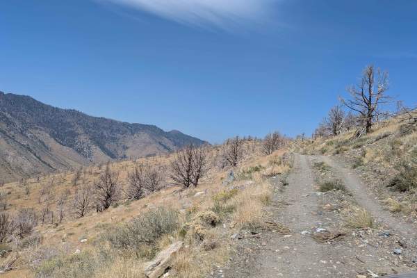
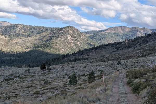
This trail starts just off Highway 395 in Coleville, California, just north of Walker. The route climbs almost 2,000 feet over 8 miles, creating steady elevation gain while transitioning through multiple land management jurisdictions and diverse landscapes. The trail begins as a sandy surface two vehicles wide on land owned by the State of California, immediately rewarding drivers with views of the mountains to the west. The route then enters BLM land before finishing in Toiyabe National Forest for the remainder of the trail. At mile 2, the landscape opens dramatically, providing 360-degree mountain views, including distant views of Topaz Lake, though the trail narrows slightly as vistas expand. At mile 3, the character changes significantly as you enter a shelf road with a dramatic drop-off into the canyon below. The trail narrows noticeably and transitions from sandy surface to more hard-packed dirt, requiring increased attention to the exposed edge. The last portion enters a forest environment with tall pine trees, where the trail narrows further to 1.5 vehicles wide and begins climbing more steeply with rocks appearing on the trail surface, adding technical elements to the final approach. At mile 8, a small creek crossing marks the trail's endpoint, where drivers can continue exploring on foot via the Mill Canyon Trail. Other recreational activities include hiking the Little Lost Canyon Trail, making this a multi-use corridor for both vehicle and foot travel. Visitors should be aware of seasonal fire restrictions that may affect access or activities in the area.
Difficulty
This trail has a challenging difficulty rating of 2 based on the shelf road section with dramatic drop-offs, narrowing trail width in critical sections, nearly 2,000 feet of elevation gain, transition to hard-packed dirt with rocks, and the 1.5-vehicle width through forested areas requiring precise navigation. The primary challenges include managing exposure along the canyon shelf road, handling the steep climbing sections with rocks, coordinating passing in narrower sections, and maintaining control on varied surfaces from sand to hard-pack, though the historical significance and spectacular views reward the technical demands.
History
The trail follows a section of the historic California National Historic Trail used by hundreds of thousands of emigrants during 19th-century westward expansion, including California Gold Rush prospectors and settlers seeking wealth and farmland.