Ferguson River Run
Total Miles
10.0
Technical Rating
Best Time
Spring, Fall, Summer
Trail Type
High-Clearance 4x4 Trail
Accessible By
Trail Overview
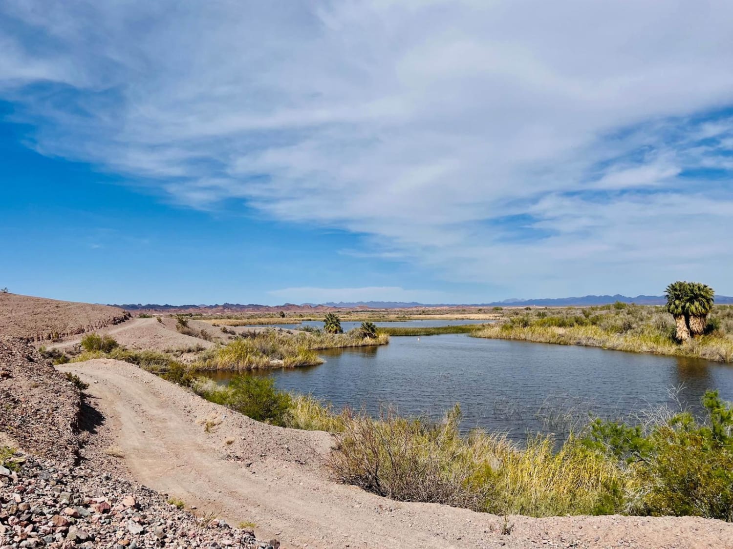
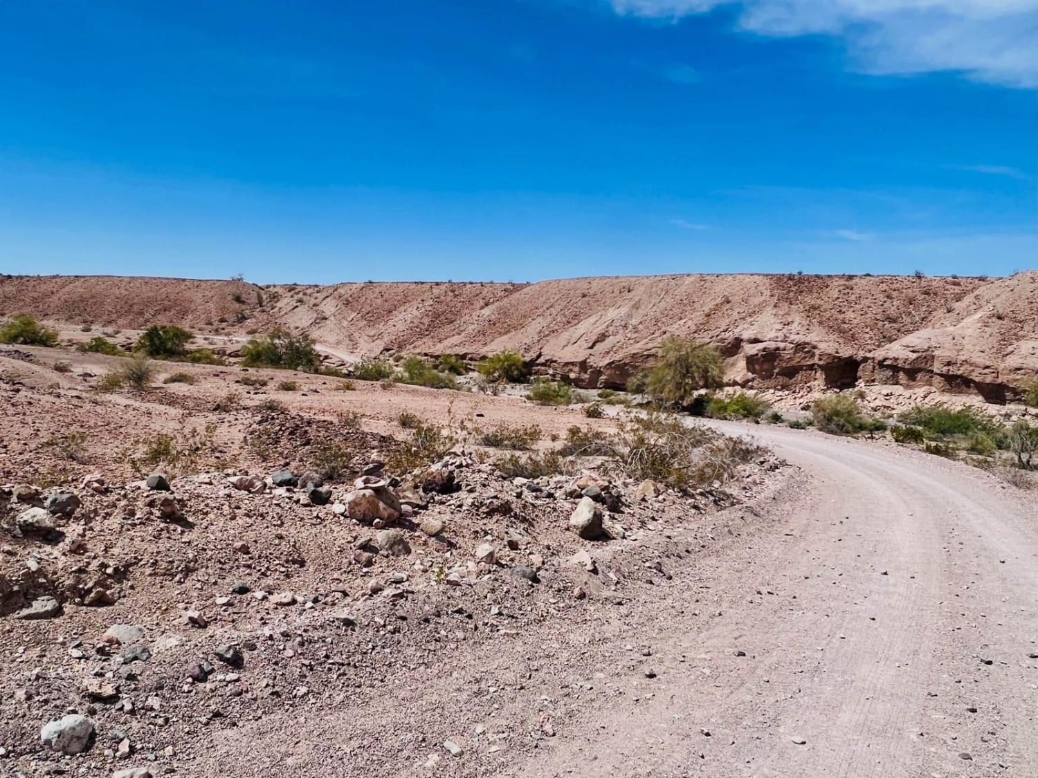
This bumpy out-and-back trail leads from the busy long-term visitor camping area near the Imperial Dam and Mesa Road way back into the boonies of the western shore of the Colorado River. Most of the way, it borders the Little Pichaco Wilderness, accessible only by foot or horseback. Please look for the signage and keep the area wild. The trail overall is a crazy contrast of a barren desert bordering right to the river's edge. The central section looks like you're on another planet with red and tan dirt, rocks, and very little wildlife. As you approach the water, you'll start to spot all kinds of birds and plant life, eventually reaching the lush water's edge, where palm trees and long grasses abound. The wildlife in this area dwells along the river and is quite a thing to spot. Anglers float around in the water, aiming to get a big catch. There are plenty of great camping opportunities; one must decide if they prefer being up high with an expansive vista or down low right on the edge of the water. Be sure to look for private property signs before choosing a spot. The trail is mostly rocky, with some very narrow, steep, and loose climbs. It's not recommended for big rigs or trailers as some of the turns are very tight with no pullouts for quite a few ways. Be mindful of some deep sandy wash crossings. Airing down is recommended. A few bars of LTE Verizon service fade in and out along most of the trail, with no service whatsoever at the end.
Photos of Ferguson River Run
Difficulty
The hills on this trail are steep and have loose rocky sections to contend with. The trail also has some blind corners that could be tricky with oncoming traffic.
Status Reports
Ferguson River Run can be accessed by the following ride types:
- High-Clearance 4x4
- SxS (60")
- ATV (50")
- Dirt Bike
Ferguson River Run Map
Popular Trails

Tecuya Mountain Run
Willow Flat Road Burt Canyon - FS 32066C
The onX Offroad Difference
onX Offroad combines trail photos, descriptions, difficulty ratings, width restrictions, seasonality, and more in a user-friendly interface. Available on all devices, with offline access and full compatibility with CarPlay and Android Auto. Discover what you’re missing today!
