Feliciana Mountain Road - FS 4S012
Total Miles
6.0
Technical Rating
Best Time
Fall, Summer, Spring
Trail Type
Full-Width Road
Accessible By
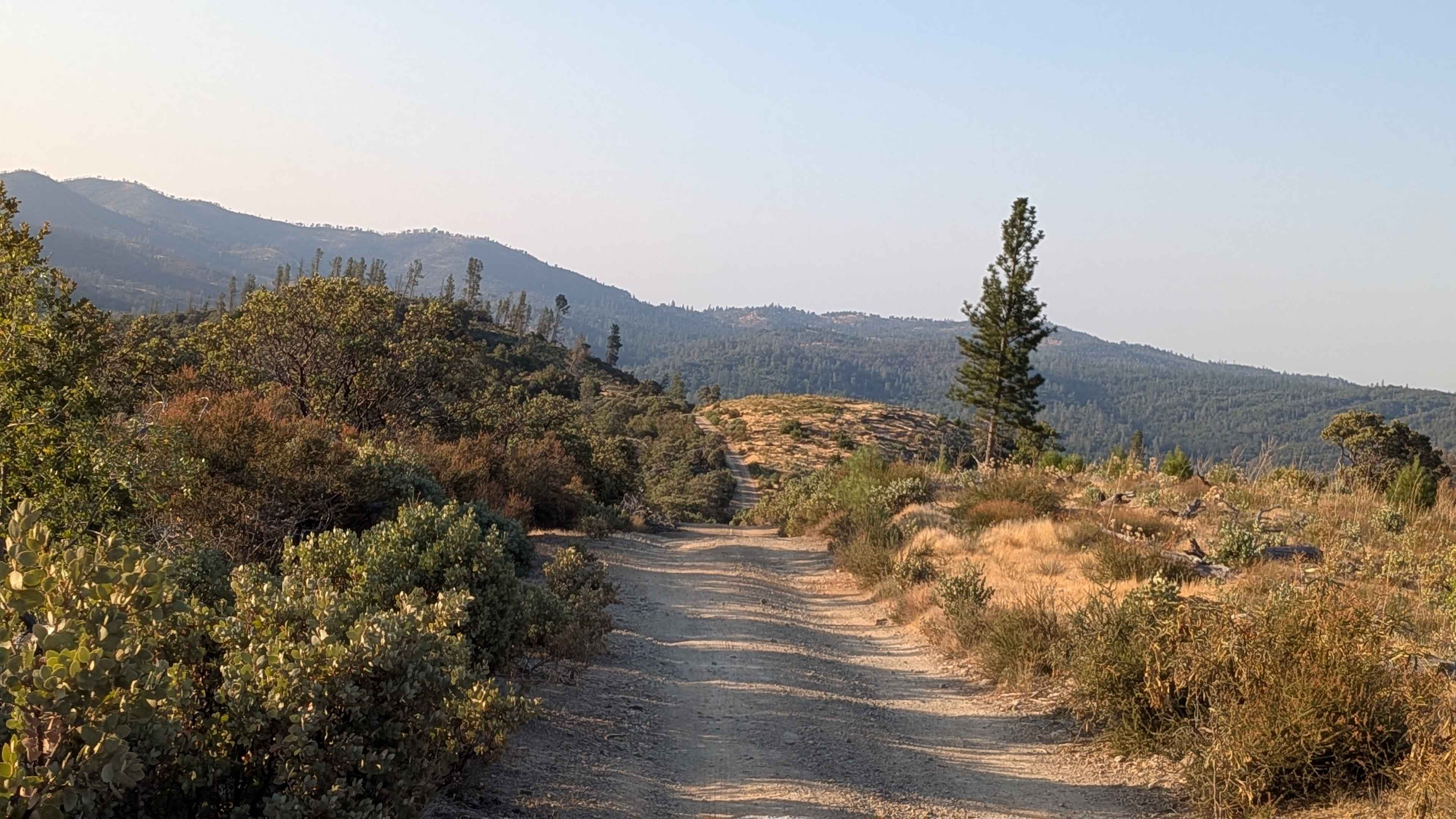
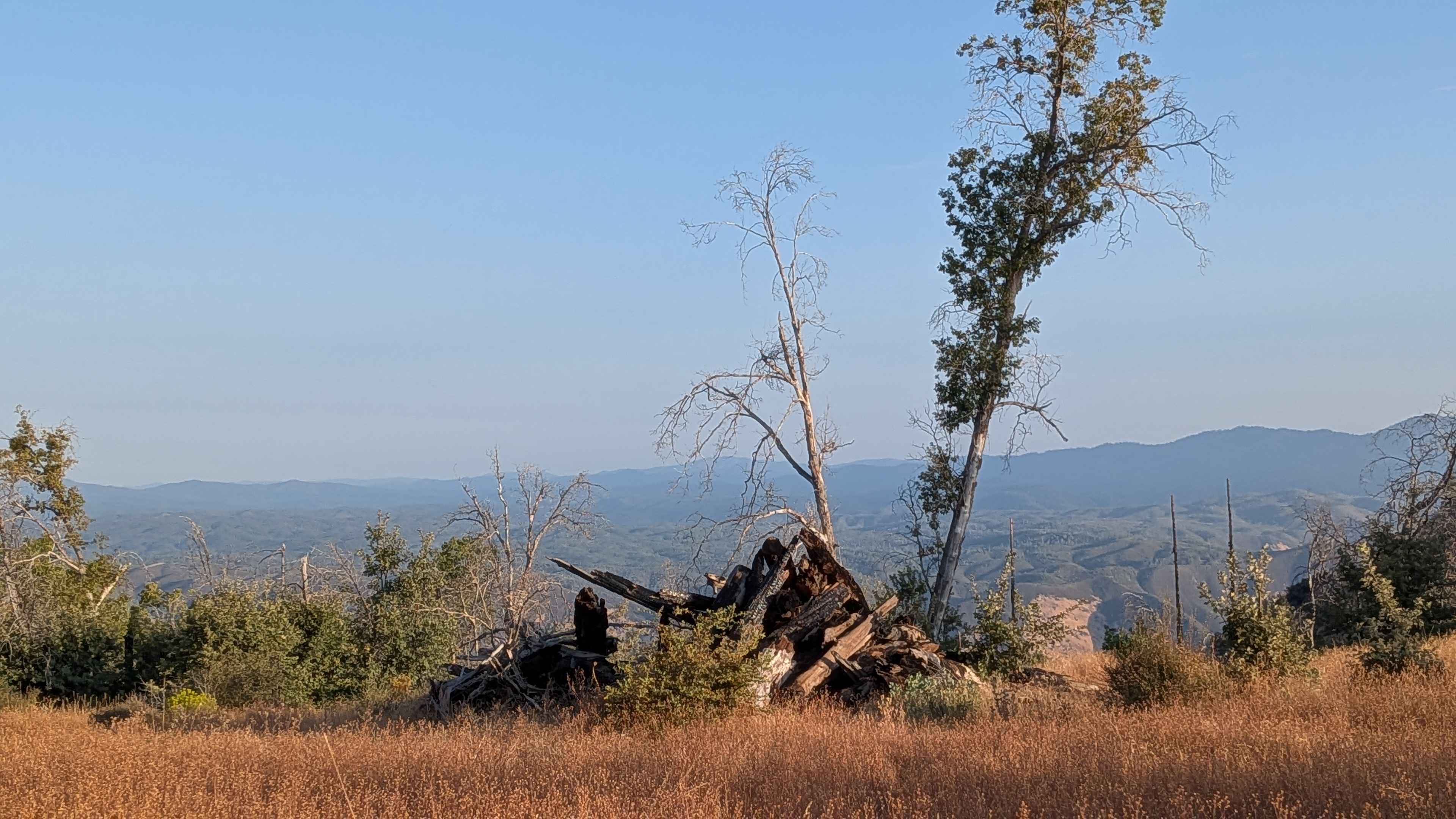
Trail Overview
This sandy and dusty trail winds through canyon terrain, dropping 1,600 feet and climbing just over 400 feet across just over 5 miles of diverse landscape. Starting at the Stairway Trail and Sweetwater Trail junction and ending at Highway 140, the route traverses through the Sierra National Forest, surrounded by canyons, valleys, hills, and mountains. The trail varies in width from one to two and a half vehicles wide, accommodating different vehicle sizes while maintaining challenging characteristics throughout its length. The surface features small sections of embedded rocks, a few off-camber sections, and ruts that require attention and careful line selection. The route runs along shelf roads at various intervals, demanding caution and confident driving skills when navigating these exposed sections. The landscape alternates between tight tree canopies that provide natural tunnels and open areas that offer beautiful views of the surrounding terrain. Some sections feature overgrown brush at eye level and above that can contact vehicles, making high clearance highly recommended for avoiding damage. Signs of past forest fires are evident throughout the area, serving as reminders to check local fire restrictions before traveling, as these can change seasonally and affect access.
Photos of Feliciana Mountain Road - FS 4S012
Difficulty
This trail receives a difficulty rating of 2, indicating moderate conditions suitable for most high-clearance vehicles and drivers with basic off-road experience. The combination of shelf roads, varied terrain, and overgrown sections requires attention and proper vehicle equipment, but remains manageable for intermediate drivers.
Status Reports
Feliciana Mountain Road - FS 4S012 can be accessed by the following ride types:
- High-Clearance 4x4
- SUV
- SxS (60")
- ATV (50")
- Dirt Bike
Feliciana Mountain Road - FS 4S012 Map
Popular Trails

The Uncivilized Trona Road

Manzanita Slope Loop
Converse - 13S07/13S50
The onX Offroad Difference
onX Offroad combines trail photos, descriptions, difficulty ratings, width restrictions, seasonality, and more in a user-friendly interface. Available on all devices, with offline access and full compatibility with CarPlay and Android Auto. Discover what you’re missing today!