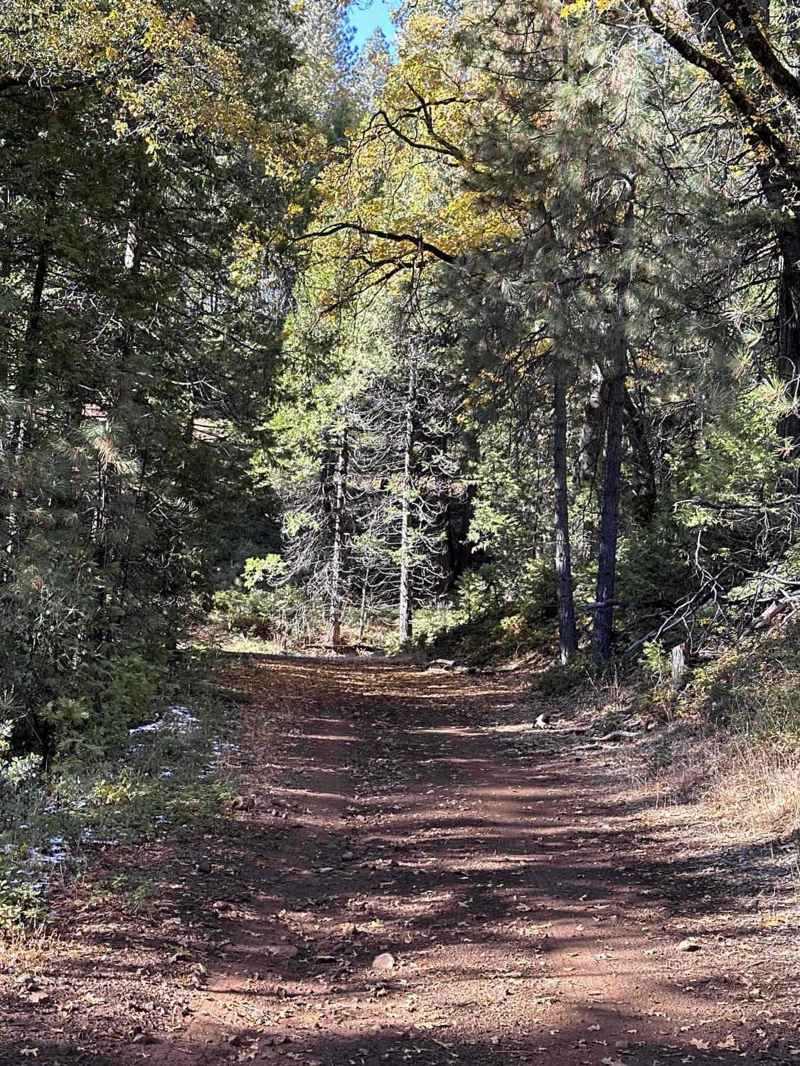
Off-Road Trails in California
Discover off-road trails in California
Learn more about Fish Rock Road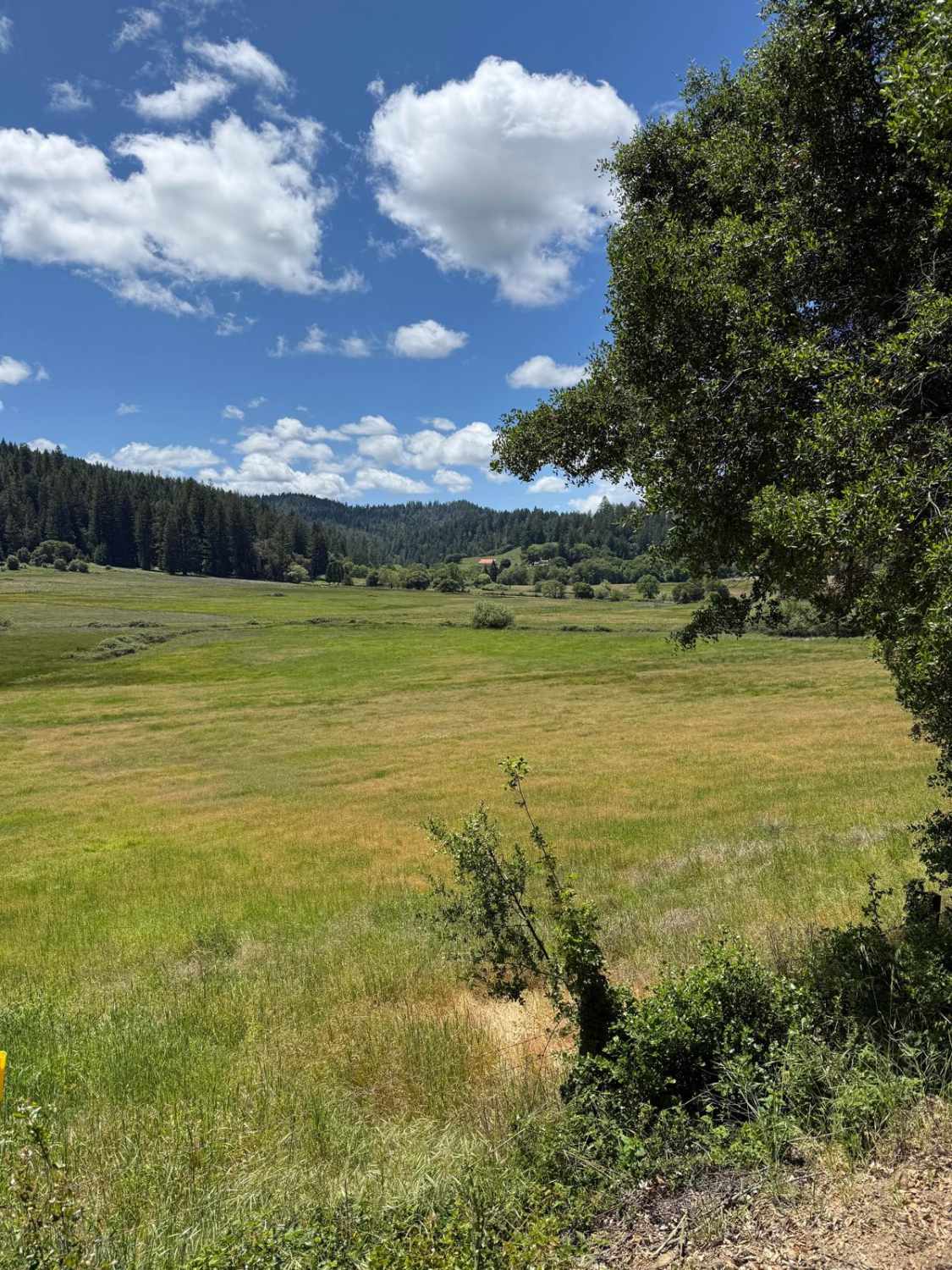
Fish Rock Road
Total Miles
14.3
Tech Rating
Easy
Best Time
Fall, Summer, Spring, Winter
Learn more about Fish Slough Road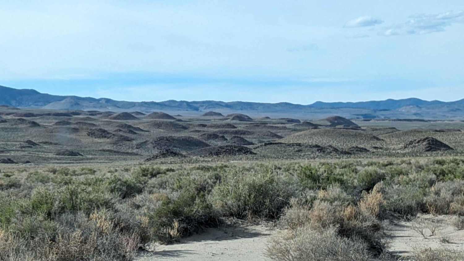
Fish Slough Road
Total Miles
11.0
Tech Rating
Easy
Best Time
Spring, Fall, Winter
Learn more about Fish Slough Road (3V01)
Fish Slough Road (3V01)
Total Miles
19.7
Tech Rating
Easy
Best Time
Spring, Winter
Learn more about Fissure Mountain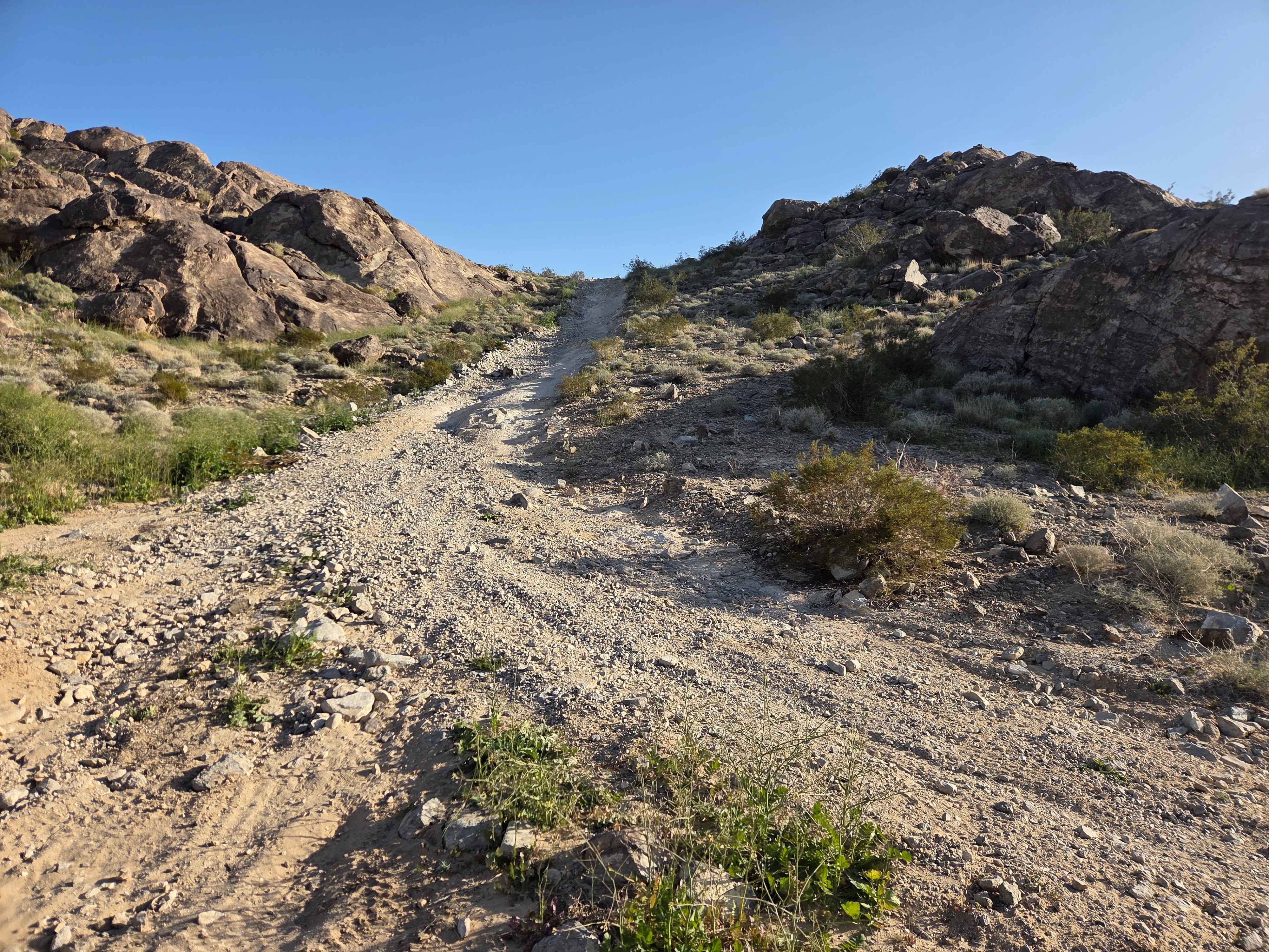
Fissure Mountain
Total Miles
4.9
Tech Rating
Moderate
Best Time
Spring, Fall, Winter
Learn more about Flagpole Point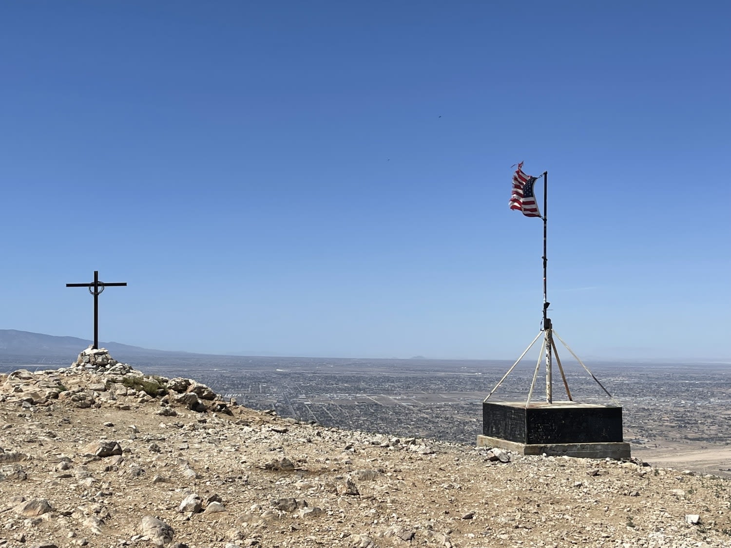
Flagpole Point
Total Miles
3.4
Tech Rating
Moderate
Best Time
Winter, Fall, Spring
Learn more about Flat OHV Trail
Flat OHV Trail
Total Miles
1.8
Tech Rating
Easy
Best Time
Spring, Fall, Winter
Learn more about Florence Lake Road
Florence Lake Road
Total Miles
6.0
Tech Rating
Easy
Best Time
Summer, Spring, Fall
Learn more about Fonts Point - Vista MalPais - Arroyo Salado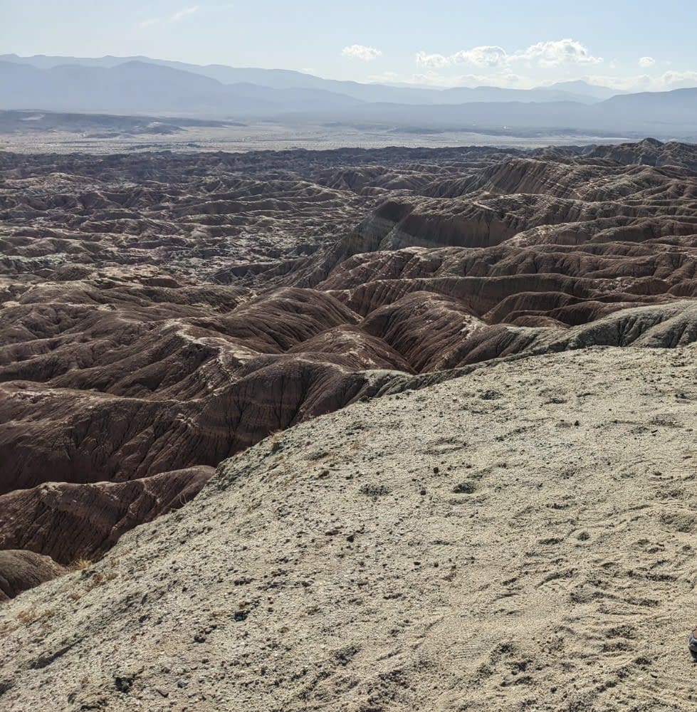
Fonts Point - Vista MalPais - Arroyo Salado
Total Miles
10.9
Tech Rating
Easy
Best Time
Fall, Winter, Spring
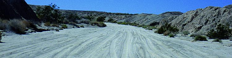
Learn more about Fonts Point Wash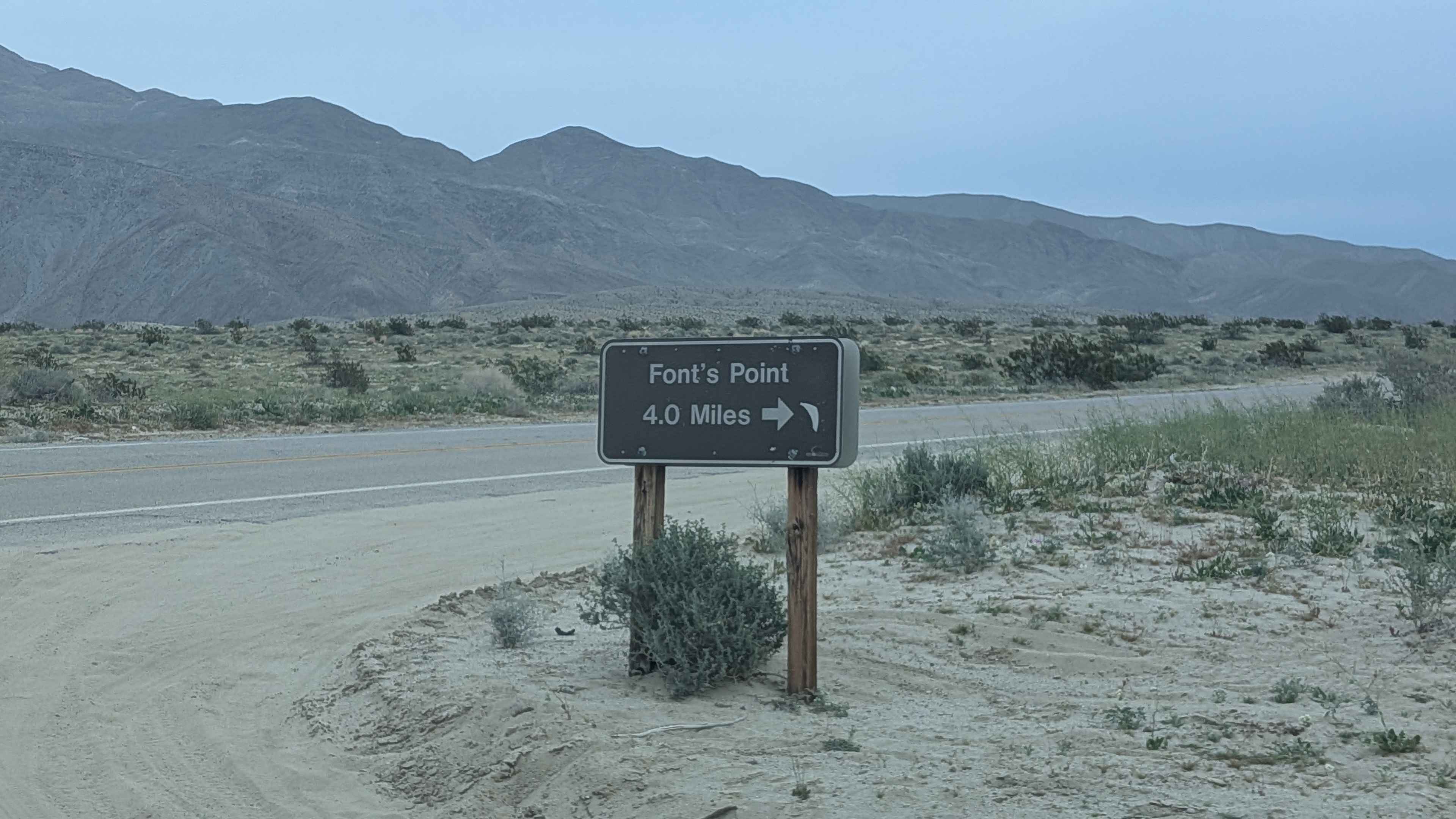
Fonts Point Wash
Total Miles
4.3
Tech Rating
Easy
Best Time
Fall, Winter, Spring
Learn more about Footman Ridge - FS 5S025
Footman Ridge - FS 5S025
Total Miles
9.4
Tech Rating
Easy
Best Time
Spring, Summer, Fall
Learn more about Ford Point East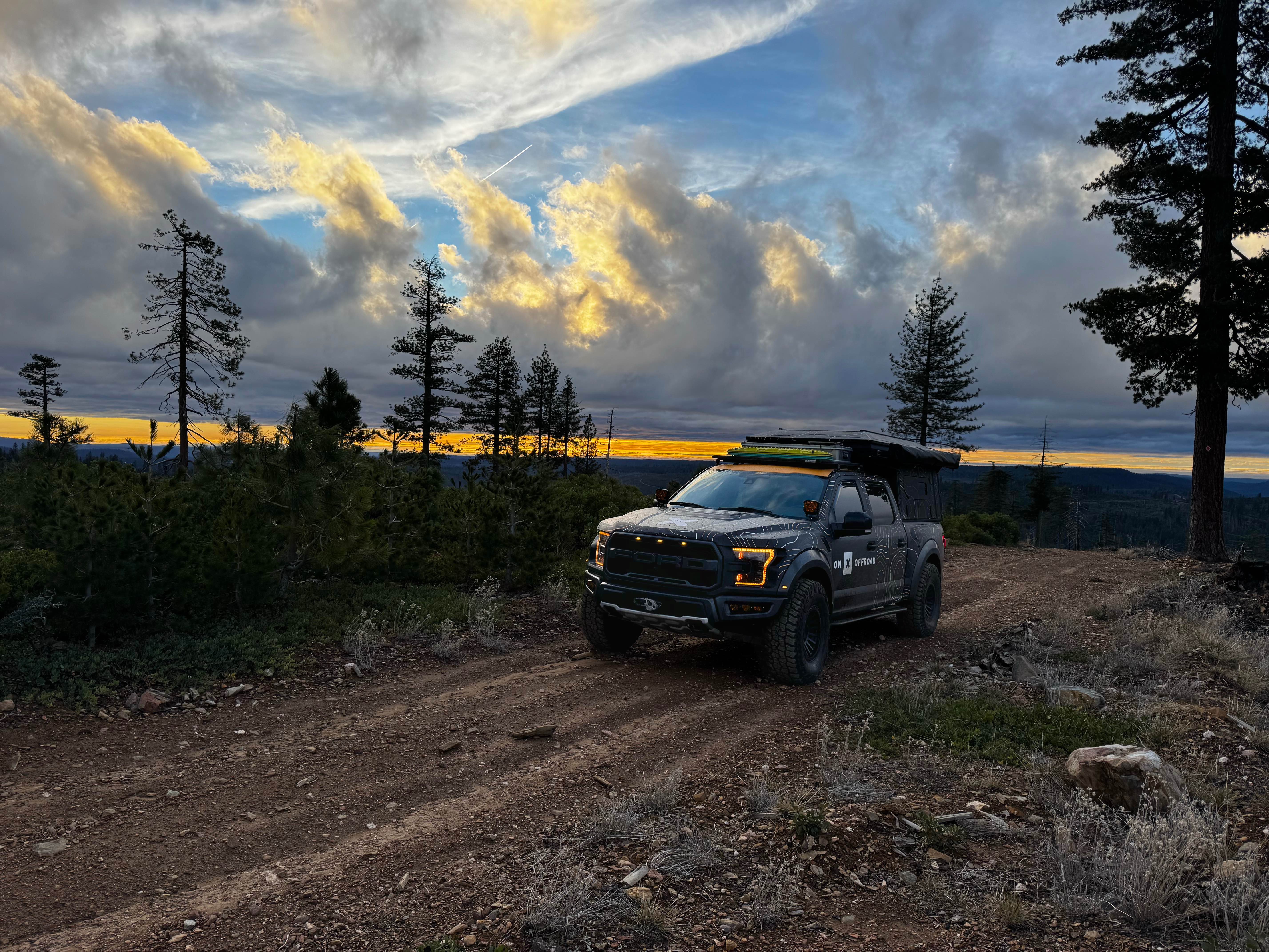
Ford Point East
Total Miles
1.7
Tech Rating
Easy
Best Time
Spring, Summer, Fall
Learn more about Ford Point Spur
Ford Point Spur
Total Miles
0.5
Tech Rating
Easy
Best Time
Fall, Summer, Spring
Learn more about Ford Point West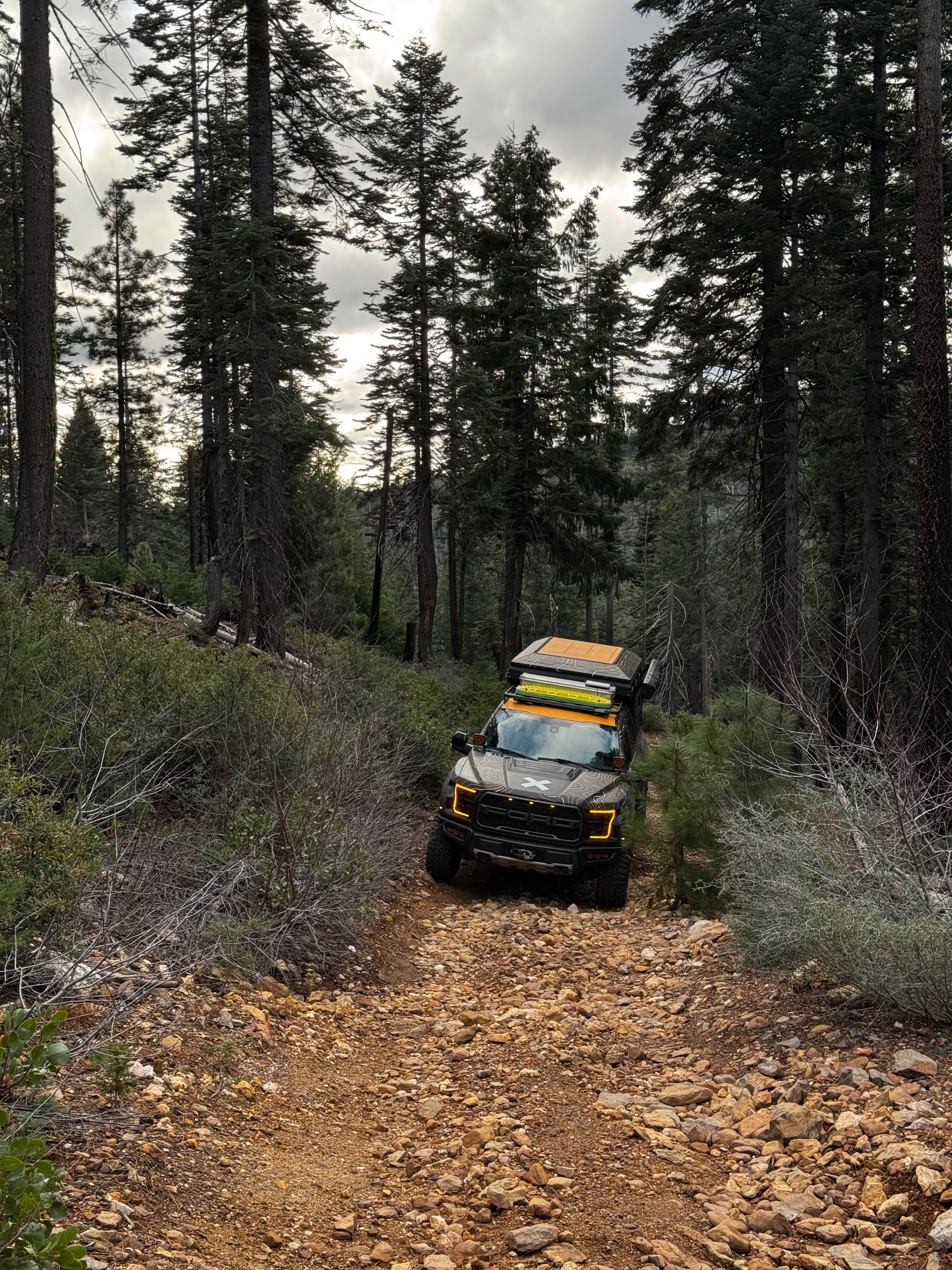
Ford Point West
Total Miles
1.3
Tech Rating
Easy
Best Time
Spring, Summer, Fall
Learn more about Forebay to American Camp
Forebay to American Camp
Total Miles
4.7
Tech Rating
Easy
Best Time
Spring, Summer, Fall
Learn more about Forest Service Road 04S43
Forest Service Road 04S43
Total Miles
1.8
Tech Rating
Easy
Best Time
Fall, Summer, Spring
ATV trails in California


UTV/side-by-side trails in California


Learn more about 3N267 Fenner Saddle (4N12)
3N267 Fenner Saddle (4N12)
Total Miles
3.8
Tech Rating
Difficult
Best Time
Spring, Summer, Fall, Winter

The onX Offroad Difference
onX Offroad combines trail photos, descriptions, difficulty ratings, width restrictions, seasonality, and more in a user-friendly interface. Available on all devices, with offline access and full compatibility with CarPlay and Android Auto. Discover what you’re missing today!