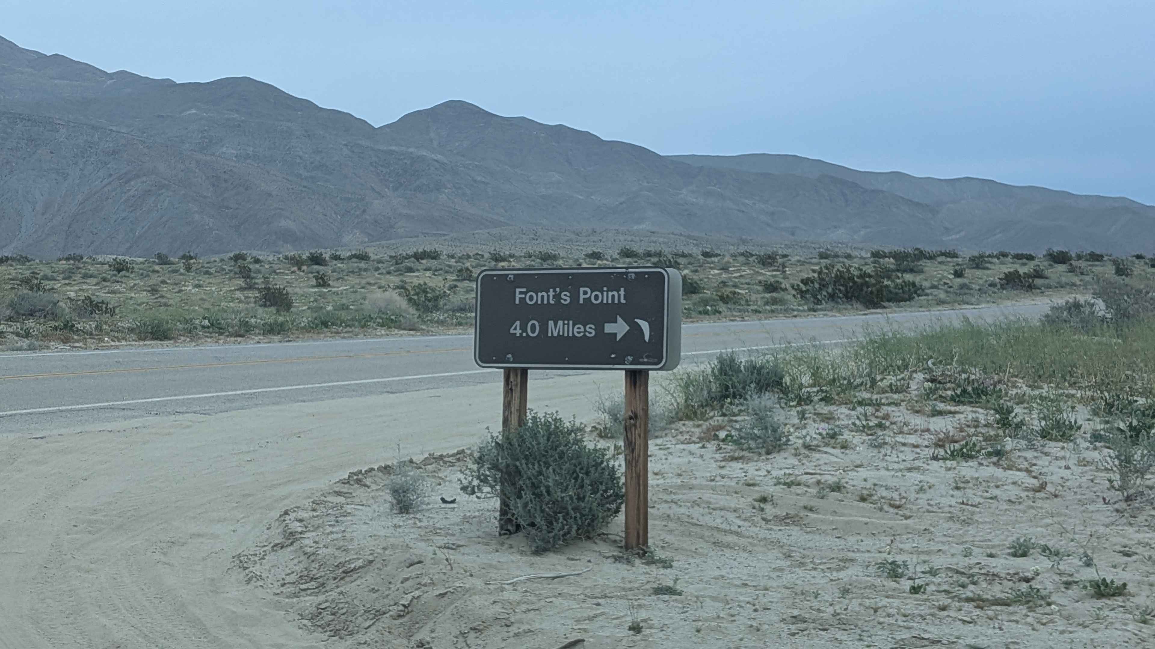
Fonts Point Wash
Total Miles
4.3
Technical Rating
Best Time
Fall, Winter, Spring
Trail Type
Full-Width Road
Accessible By
Trail Overview
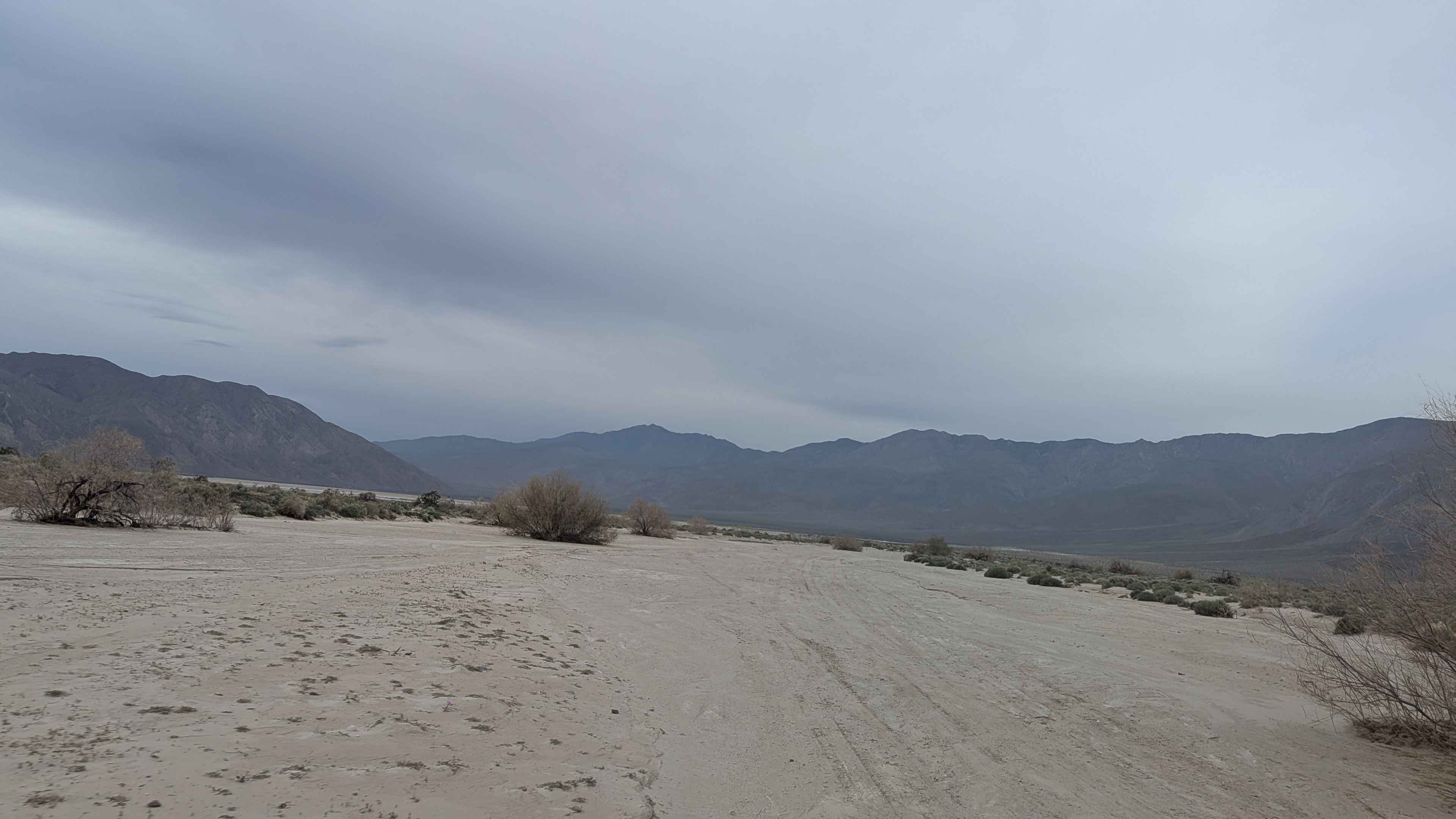
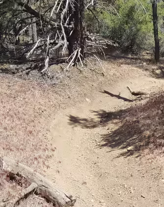
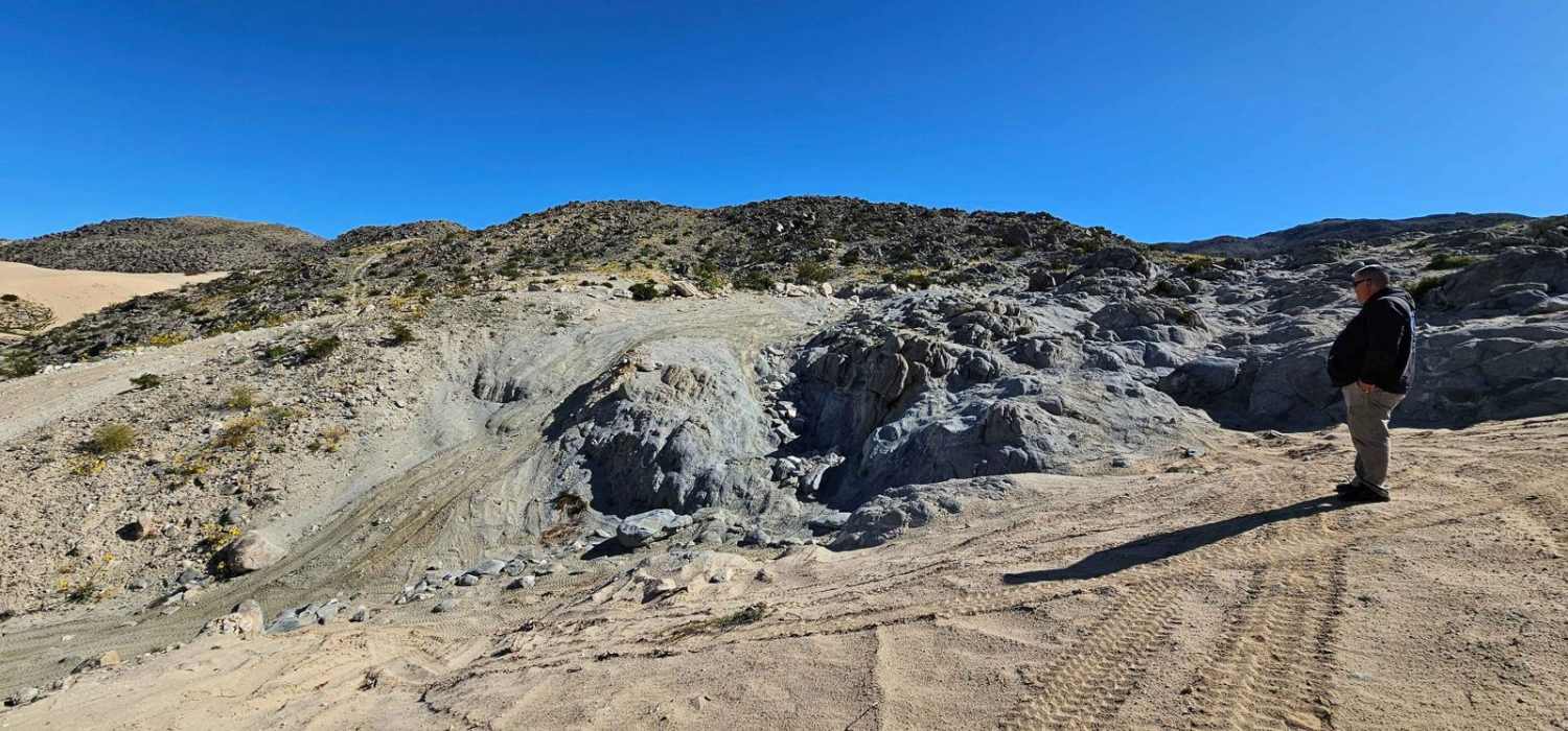
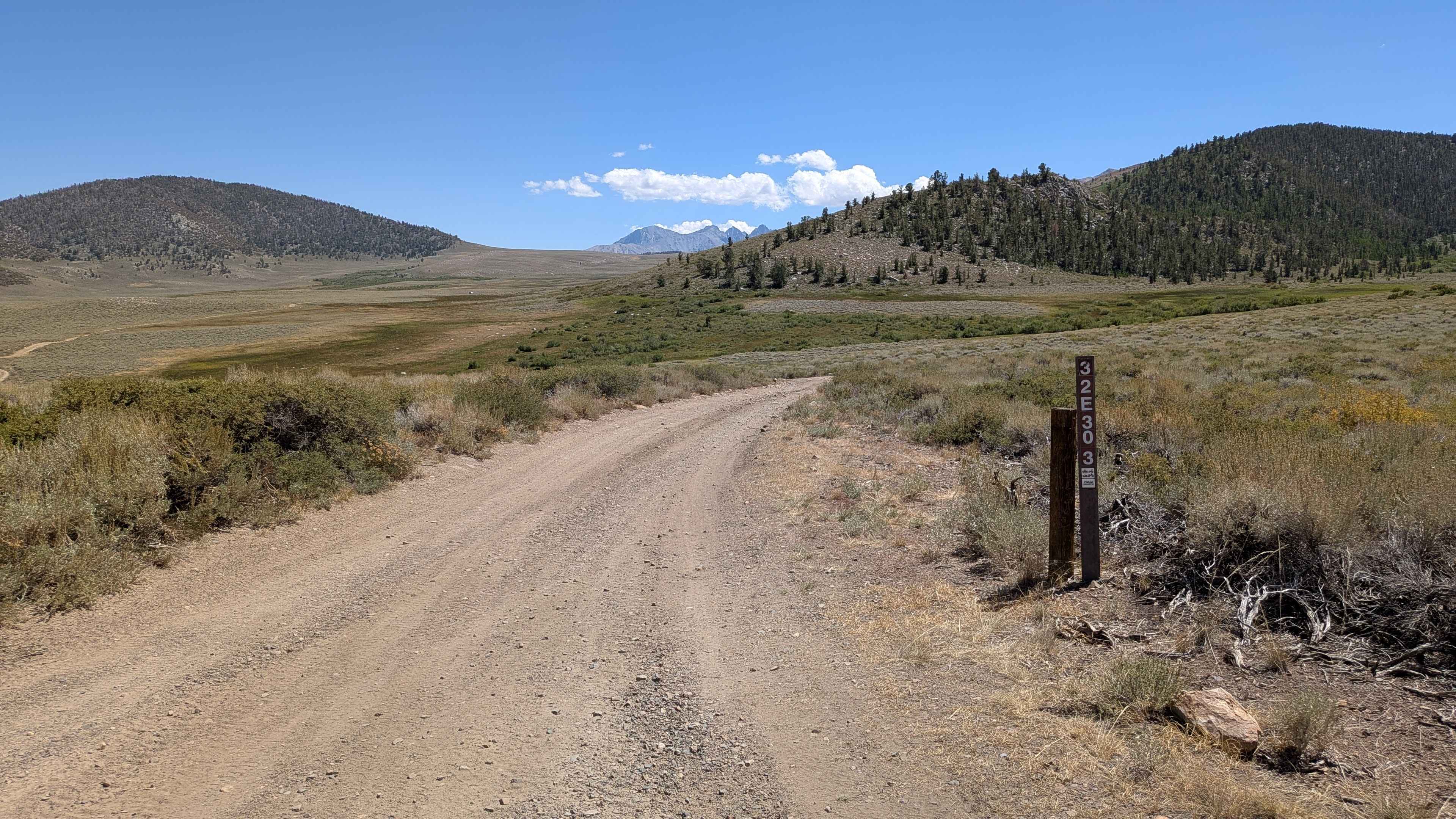
This very wide, very sandy wash actually starts on the north side of Highway 22, though parts of it can be closed after storms. On the south side, the trail travels 4 miles to reach the scenic overlook of Fonts Point. Parts of the wash can be very deep sand, requiring careful momentum management throughout. After a couple of miles, the trail starts to narrow as it heads up to Fonts Point, changing from the wide wash to a more confined approach. Font's Point is a panoramic overlook in Anza Borrego Desert State Park named after Father Pedro Font, the chaplain on Juan Bautista de Anza's 1775 to 1776 expedition. Known as "the sweepings of the earth," this 1,253-foot elevation offers a dramatic view of millions of years of geological erosion, making it one of the most iconic viewpoints in the park.
Photos of Fonts Point Wash
Difficulty
The very wide, very sandy wash with parts that can be very deep sand requires four wheel drive, and airing down is highly recommended for maintaining traction. The wide wash makes navigation straightforward for most of the route, though the narrowing section approaching Fonts Point requires more attention. The deep sand sections demand momentum management, but the wide width gives room to find the best line.
Status Reports
Fonts Point Wash can be accessed by the following ride types:
- High-Clearance 4x4
- SUV
Fonts Point Wash Map
Popular Trails

Arcularious Old - FS 2S85
Whata OHV - FS 20W25
Tack Hammer
The onX Offroad Difference
onX Offroad combines trail photos, descriptions, difficulty ratings, width restrictions, seasonality, and more in a user-friendly interface. Available on all devices, with offline access and full compatibility with CarPlay and Android Auto. Discover what you’re missing today!