Fish Slough Road
Total Miles
11.0
Technical Rating
Best Time
Spring, Fall, Winter
Trail Type
Full-Width Road
Accessible By
Trail Overview
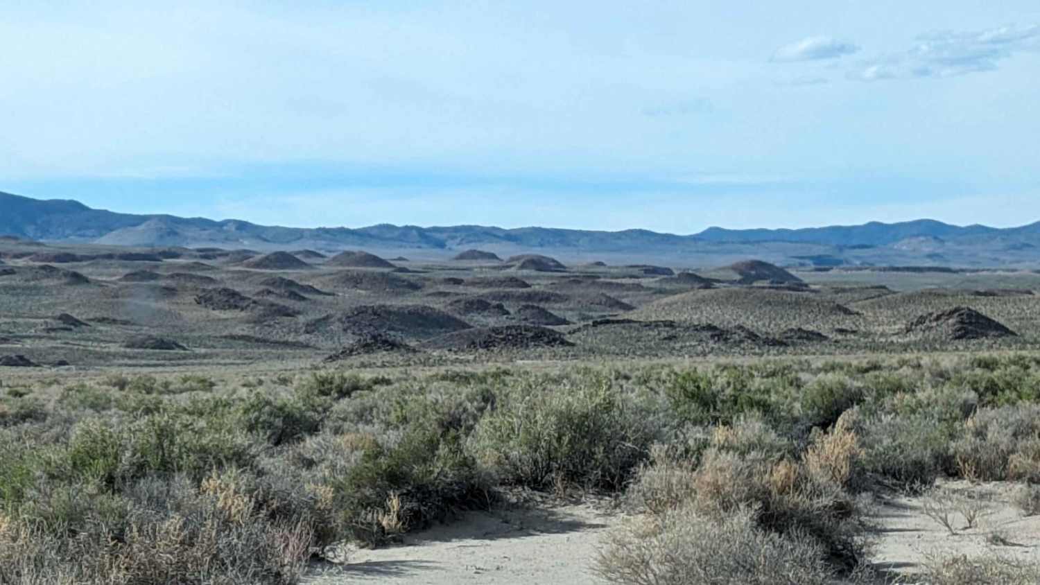
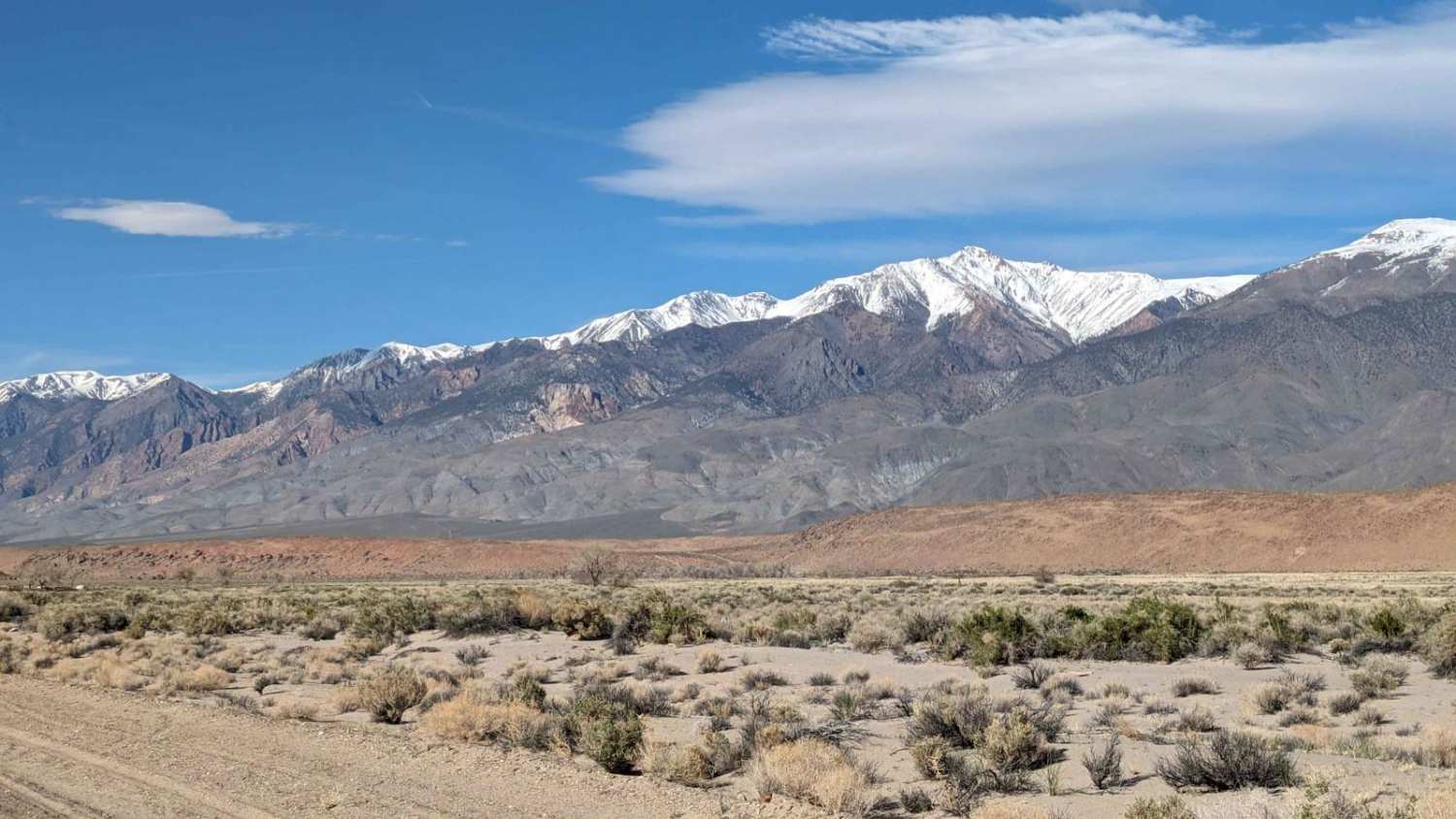
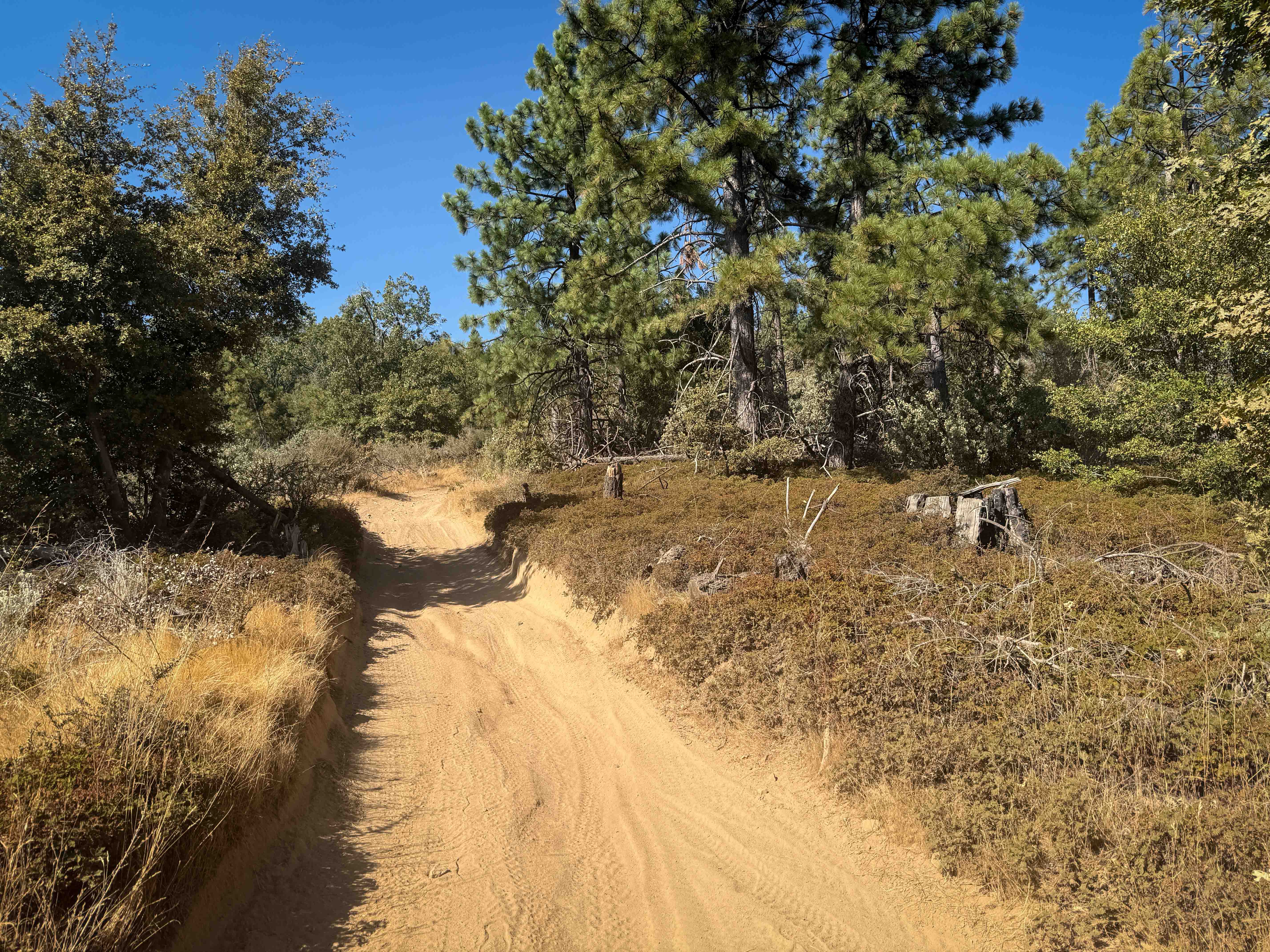
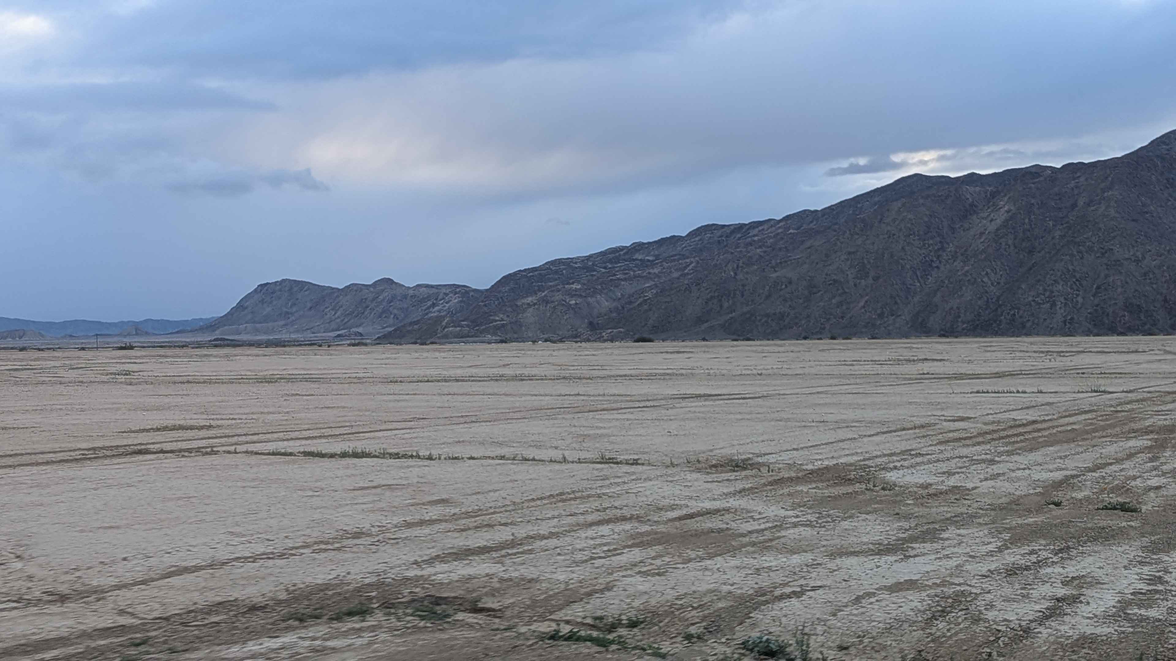
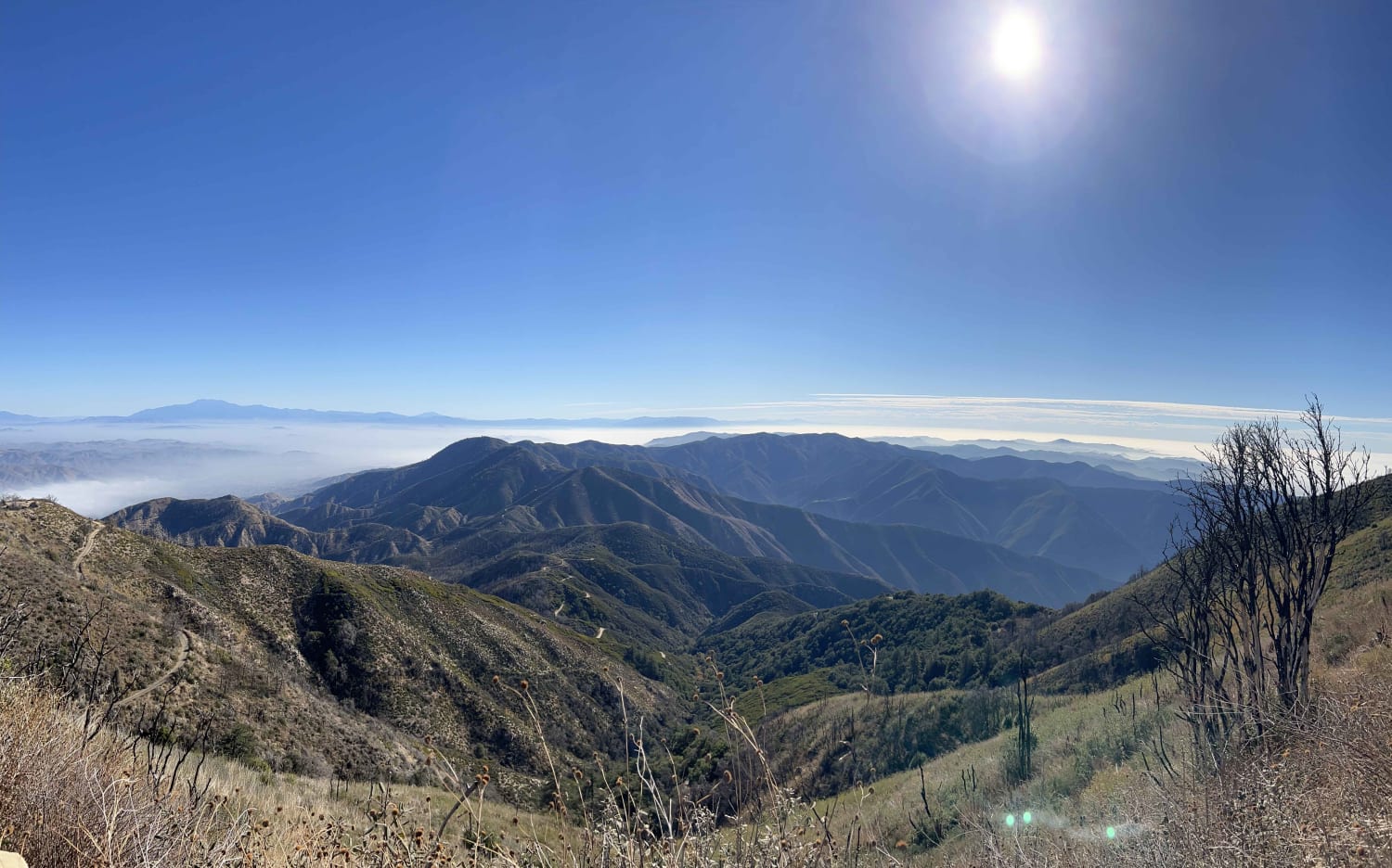
The 11-mile trail is a wide dirt road. Depending on the time of the year, it could be evenly graded or can have washboards of varying degrees. There are many beautiful views of the White Mountains to the east and the eastern Sierra Mountains to the west. he other highlight is three separate areas of historical petroglyphs to explore.
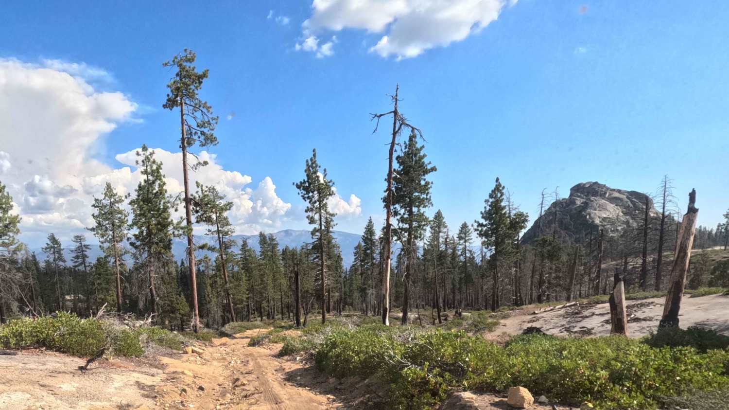
Photos of Fish Slough Road
Difficulty
This is a well-maintained graded road. It can be relatively smooth or have spots of washboards; it depends on the time of the year. The area is BLM land. There are various side trails. Some of them are LADWP-owned and have some overnight restrictions.
History
The area has unique geologic features formed by the cataclysmic volcanic eruption of the Long Valley Caldera 750,000 years ago, which left a highly dissected landscape of Bishop Tuff. Through time, this once barren tableau has evolved to support a unique and fragile environment that takes a keen eye and time to appreciate. The Volcanic Tablelands is situated at the ecological cusp of the Northern Mojave and Great Basin floristic provinces where plants and associated wildlife species combine to make this an unusual and biologically diverse landscape.
Status Reports
Fish Slough Road can be accessed by the following ride types:
- High-Clearance 4x4
- SUV
- SxS (60")
- ATV (50")
- Dirt Bike
Fish Slough Road Map
Popular Trails
North Main Divide Road
Graveyard Creek - FS 5S055
The onX Offroad Difference
onX Offroad combines trail photos, descriptions, difficulty ratings, width restrictions, seasonality, and more in a user-friendly interface. Available on all devices, with offline access and full compatibility with CarPlay and Android Auto. Discover what you’re missing today!