Eel's Cliff
Total Miles
27.6
Technical Rating
Best Time
Spring, Summer, Fall
Trail Type
Single Track
Accessible By
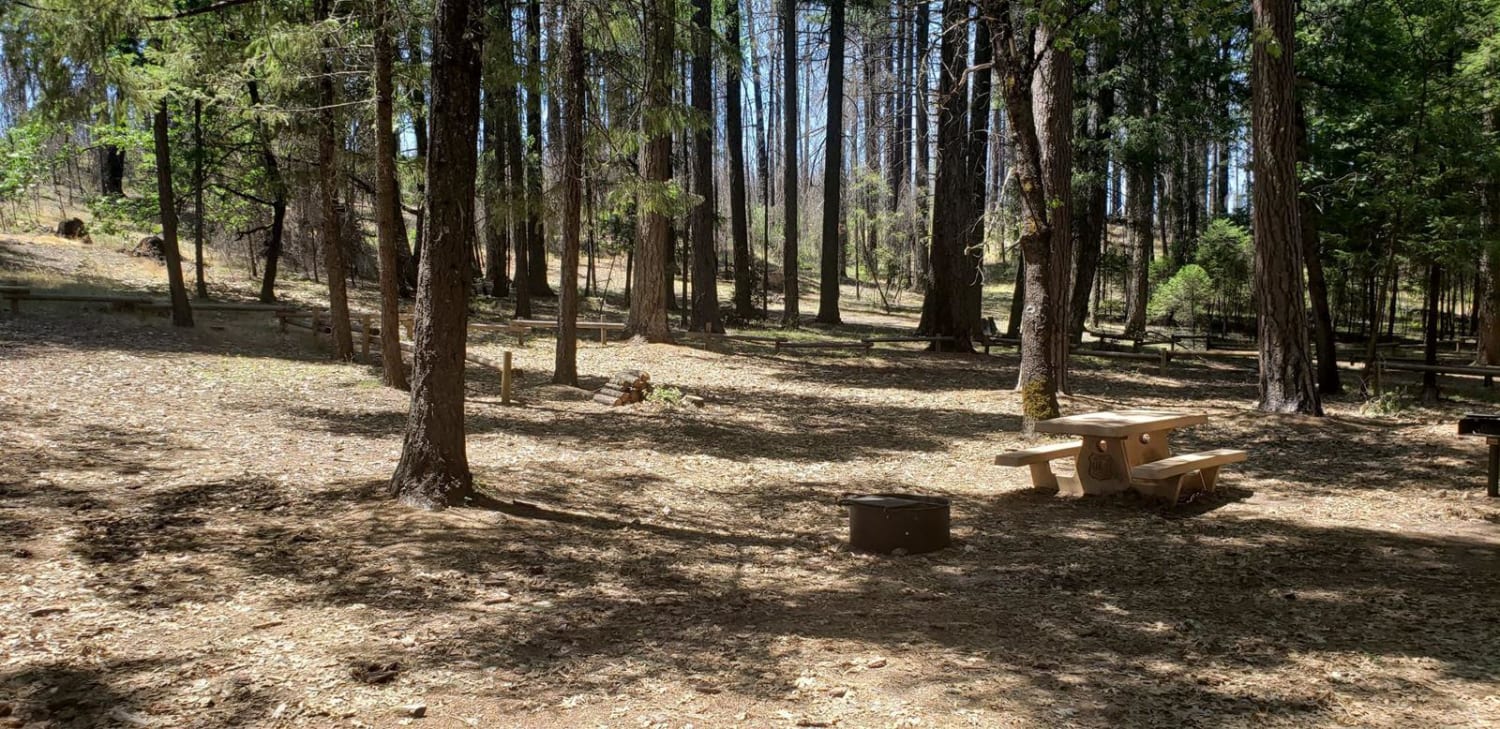
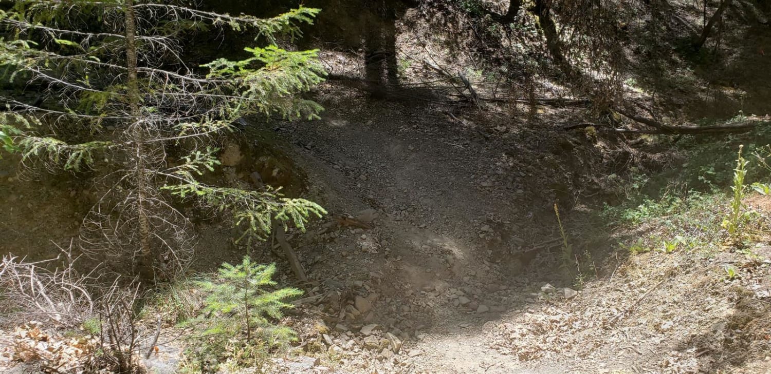
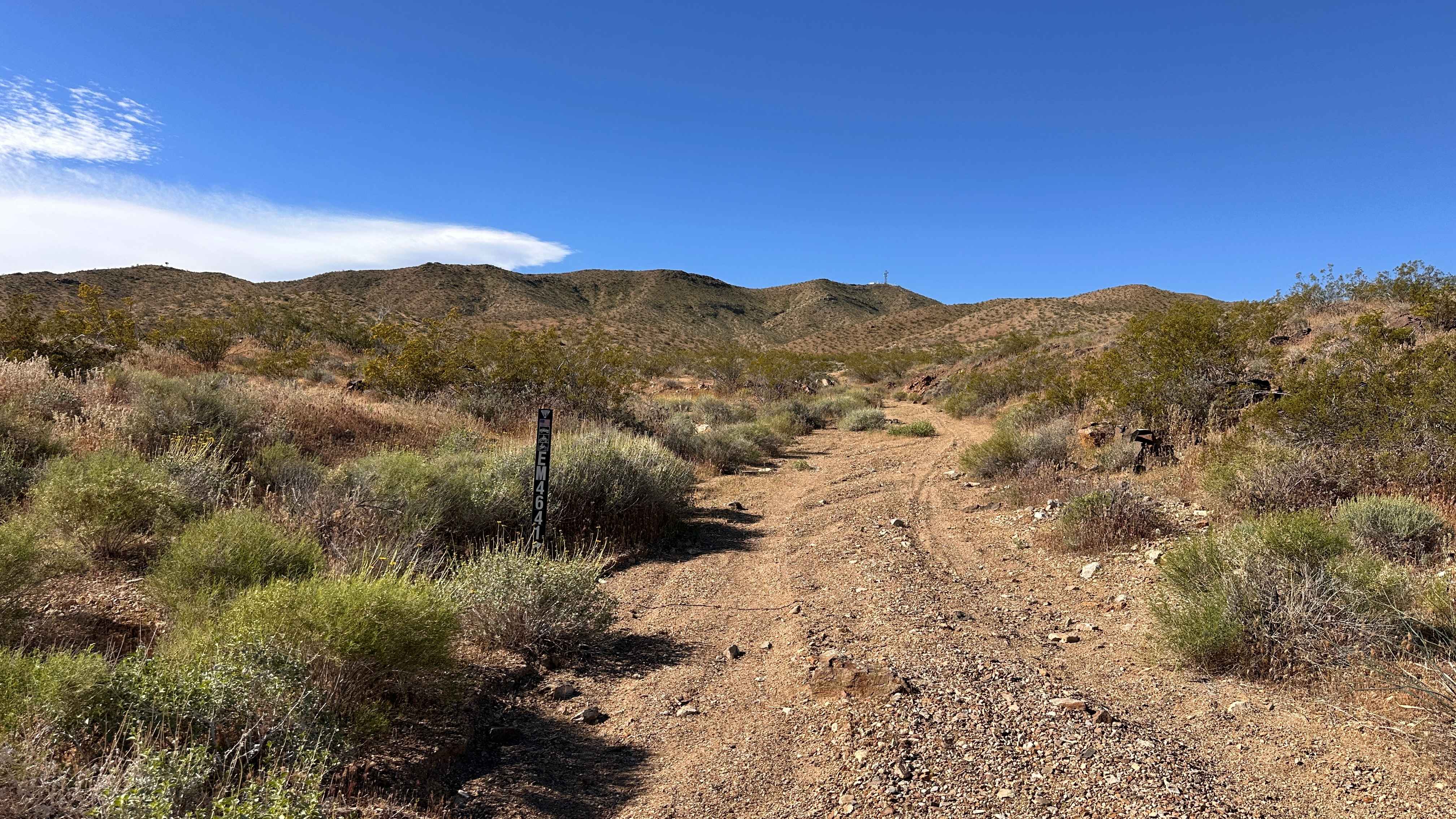
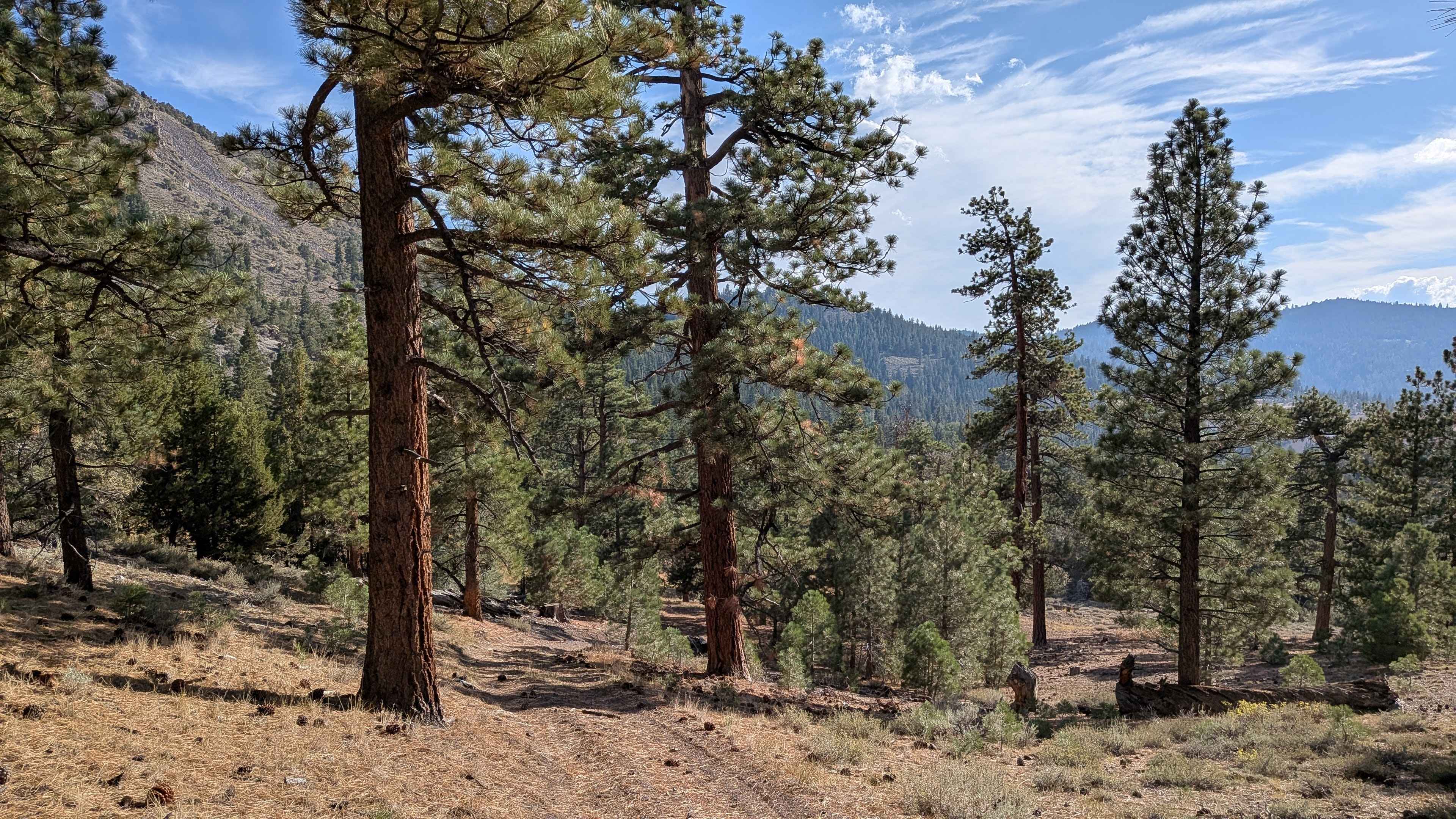
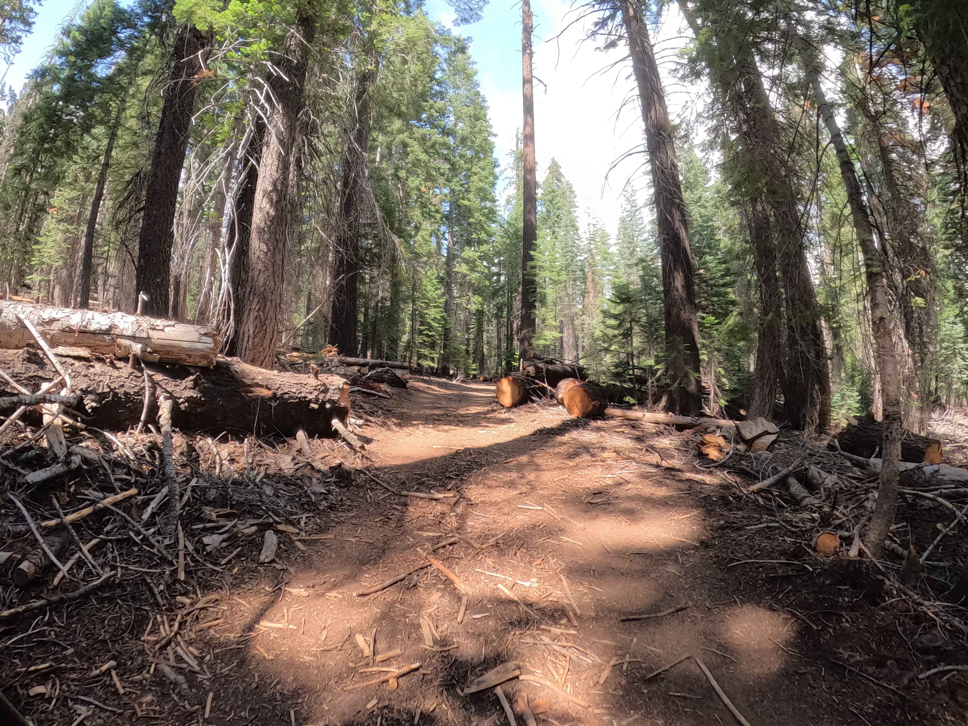
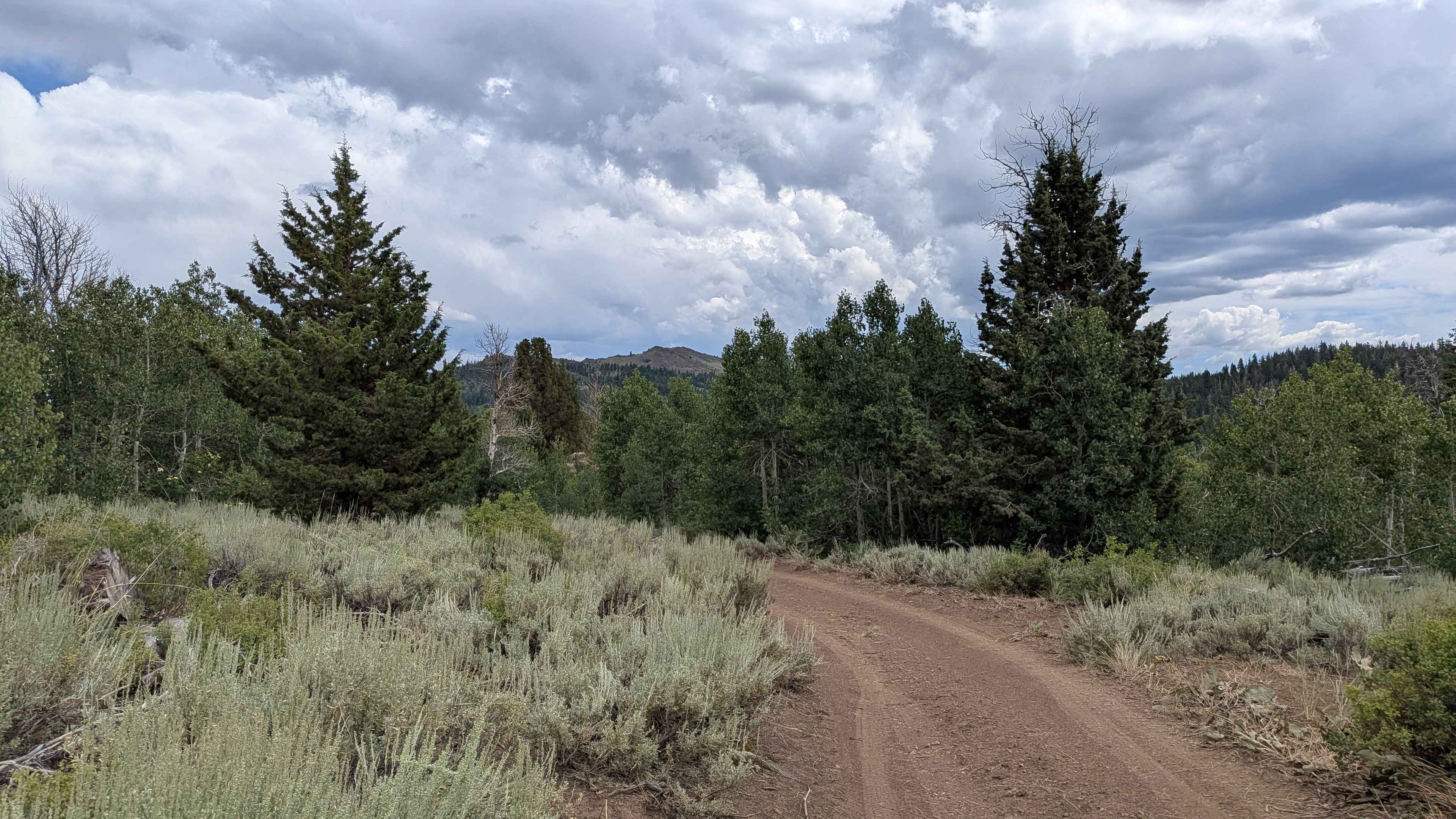
Trail Overview
This route will take you from Upper Lake all the way to Eel River/Lake Pillsbury. It begins with great views of the valley, plenty of camping and resting spots in between, and ends with your choice of the river or lake to take a dip in before calling it a day. I would not recommend attempting the motorcycle trail portion with an adventure motorcycle during or after a rain. You won't find cell phone reception past the initial twenty minutes, so make sure you have downloaded your onX Offroad maps.
Photos of Eel's Cliff
Difficulty
There's a short section of technical riding, but most of the trail is on easy roads suitable for SUVs
Status Reports
Eel's Cliff can be accessed by the following ride types:
- Dirt Bike
Eel's Cliff Map
Popular Trails
Painted Canyon Run
Water Tank Spur - FS 31347
Topping B Spur - FS 22E302
Pass Spur Road - FS 3108B
The onX Offroad Difference
onX Offroad combines trail photos, descriptions, difficulty ratings, width restrictions, seasonality, and more in a user-friendly interface. Available on all devices, with offline access and full compatibility with CarPlay and Android Auto. Discover what you’re missing today!