Off-Road Trails in California
Discover off-road trails in California
Learn more about Elliot Ranch Road
Elliot Ranch Road
Total Miles
8.8
Tech Rating
Easy
Best Time
Spring, Summer, Fall, Winter
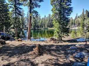
Learn more about Ellis Meadow - FS 7S076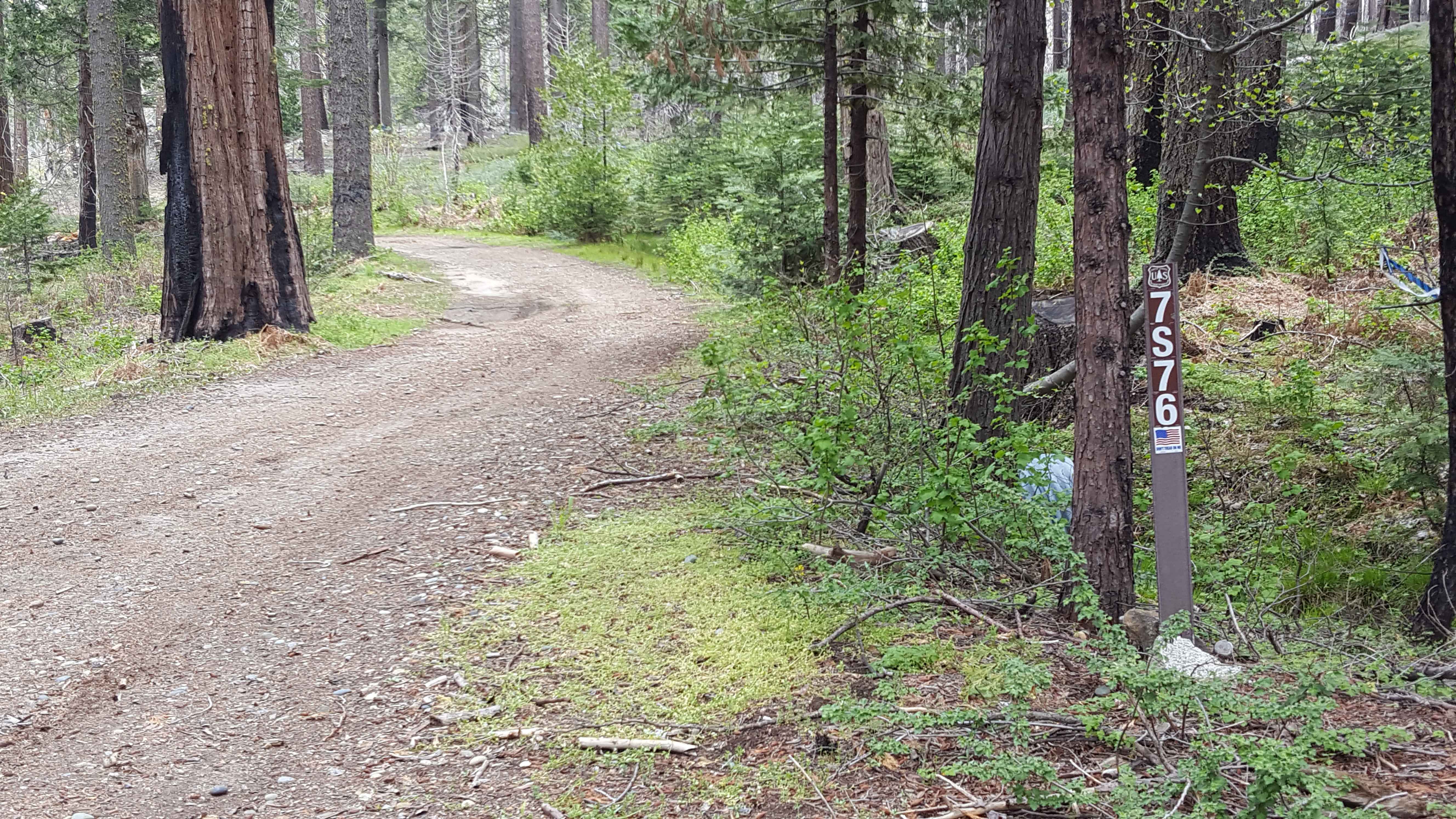
Ellis Meadow - FS 7S076
Total Miles
2.3
Tech Rating
Easy
Best Time
Spring, Summer, Fall
Learn more about Ellis Peak Bike Trail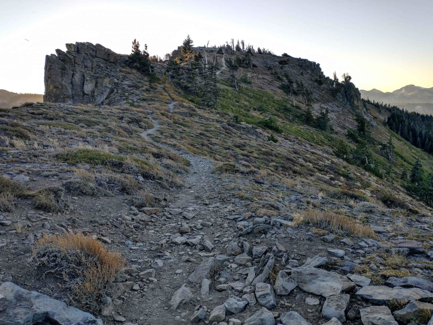
Ellis Peak Bike Trail
Total Miles
3.1
Tech Rating
Moderate
Best Time
Summer, Fall
Learn more about Ellis Peak OHV Trail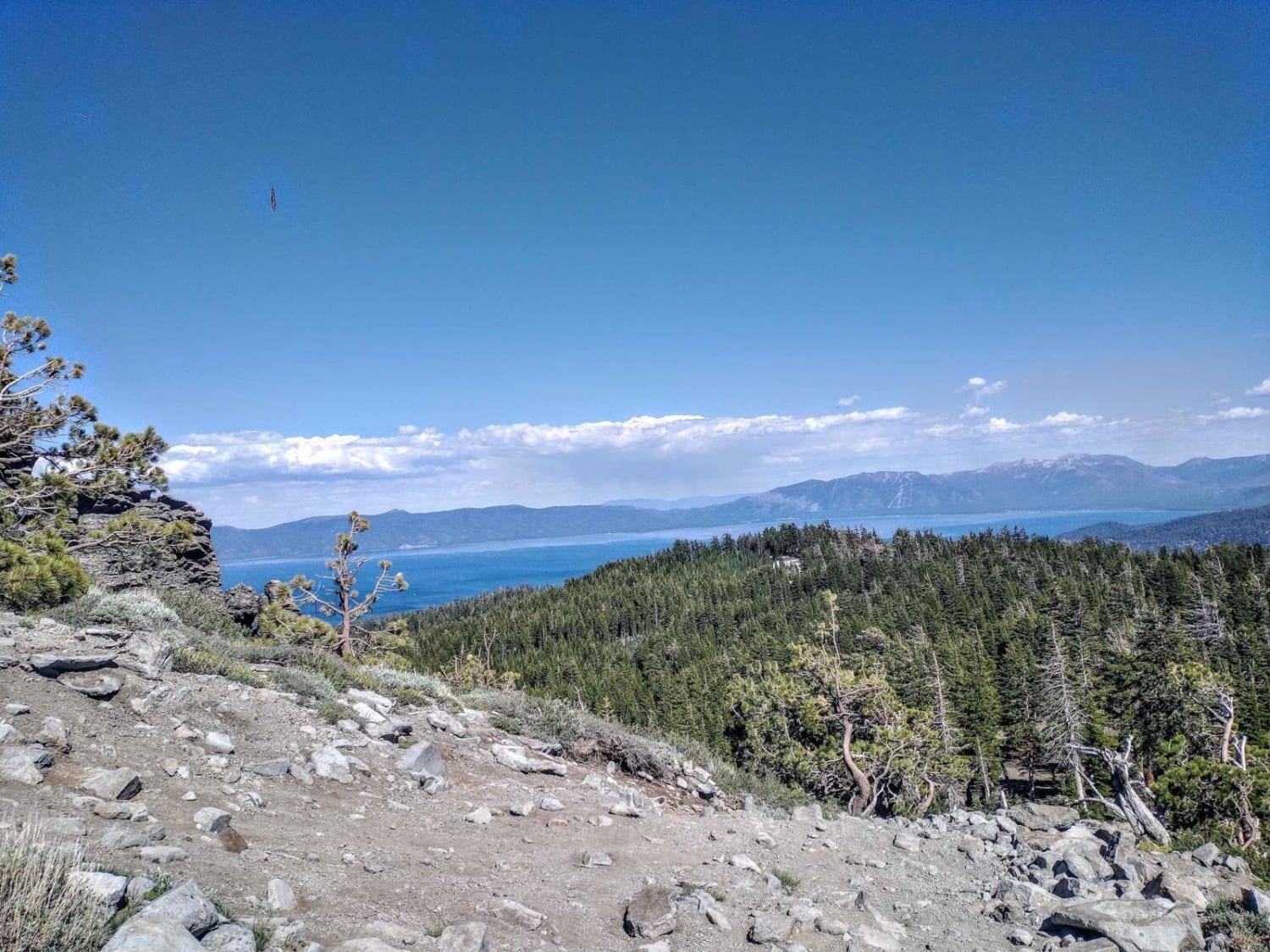
Ellis Peak OHV Trail
Total Miles
0.8
Tech Rating
Easy
Best Time
Summer, Fall
Learn more about EMHT Segment 1: Needles to Ivanpah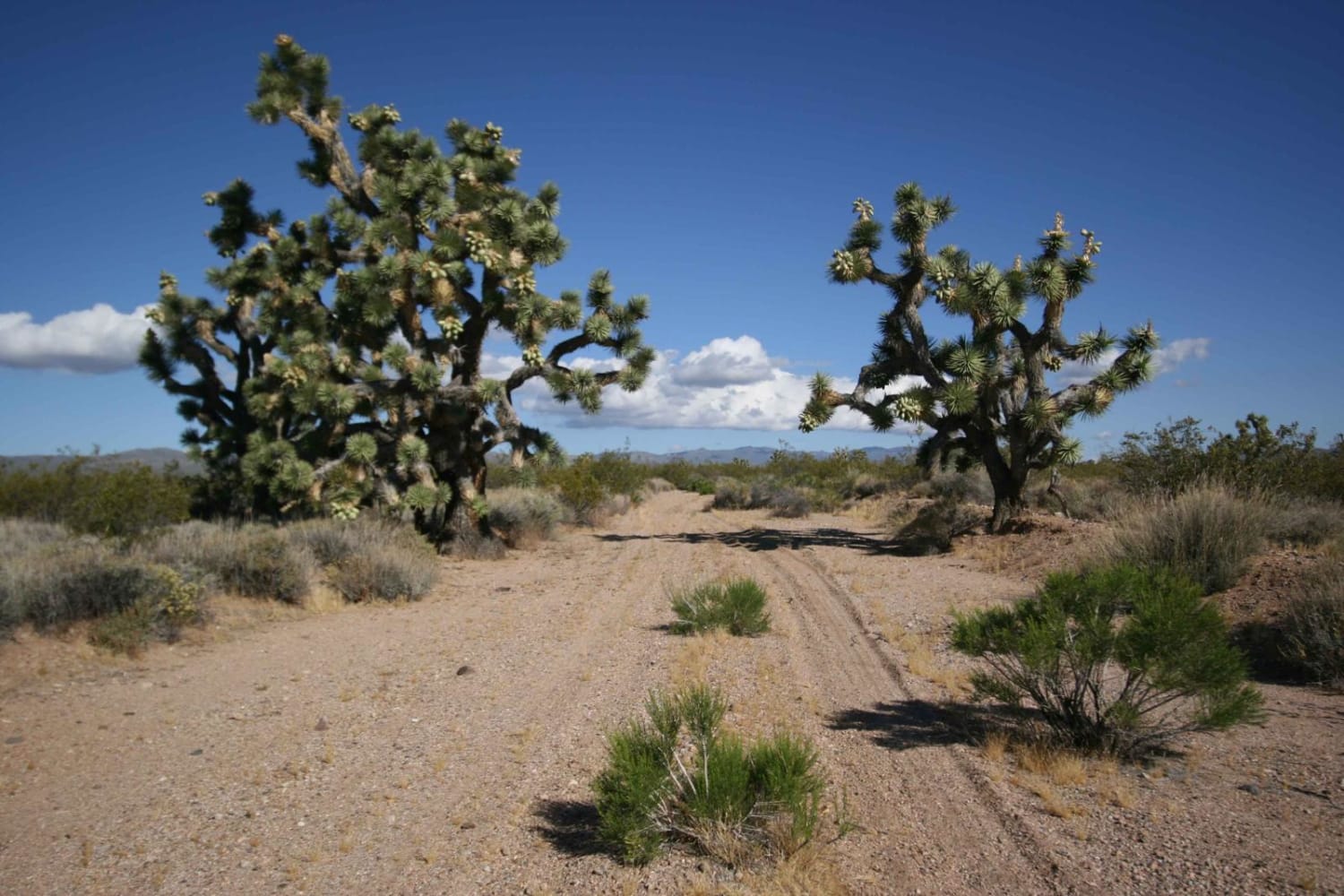
EMHT Segment 1: Needles to Ivanpah
Total Miles
173.3
Tech Rating
Moderate
Best Time
Spring, Fall
Learn more about EMHT Segment 2: Ivanpah to Rocky Ridge
EMHT Segment 2: Ivanpah to Rocky Ridge
Total Miles
191.0
Tech Rating
Moderate
Best Time
Spring, Fall
Learn more about EMHT Segment 3: Rocky Ridge to Fenner
EMHT Segment 3: Rocky Ridge to Fenner
Total Miles
230.2
Tech Rating
Moderate
Best Time
Spring, Fall
Learn more about EMHT Segment 4: Fenner to Needles
EMHT Segment 4: Fenner to Needles
Total Miles
144.5
Tech Rating
Moderate
Best Time
Spring, Fall
Learn more about Engineer Point
Engineer Point
Total Miles
0.6
Tech Rating
Easy
Best Time
Fall, Summer, Spring
Learn more about Engineer Point Overlook
Engineer Point Overlook
Total Miles
0.6
Tech Rating
Easy
Best Time
Summer, Fall, Spring
Learn more about Enterprise - FS 17N72
Enterprise - FS 17N72
Total Miles
0.8
Tech Rating
Easy
Best Time
Spring, Summer, Fall

Learn more about Erickson Ridge Loop
Erickson Ridge Loop
Total Miles
4.4
Tech Rating
Easy
Best Time
Summer, Fall
Learn more about Eriogonum Wash 172
Eriogonum Wash 172
Total Miles
3.9
Tech Rating
Easy
Best Time
Winter, Fall, Spring
Learn more about Eureka Peak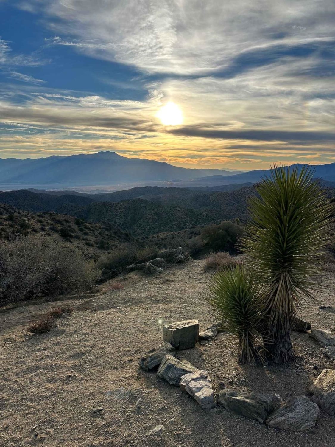
Eureka Peak
Total Miles
9.0
Tech Rating
Easy
Best Time
Spring, Summer, Fall, Winter
Learn more about Eureka Valley Road
Eureka Valley Road
Total Miles
6.7
Tech Rating
Easy
Best Time
Spring, Fall, Winter
Learn more about Evans Flat - FS 32E53A
Evans Flat - FS 32E53A
Total Miles
2.7
Tech Rating
Easy
Best Time
Fall, Summer, Spring
Learn more about Excelsior Mine Road
Excelsior Mine Road
Total Miles
18.6
Tech Rating
Easy
Best Time
Spring, Fall, Winter
ATV trails in California


UTV/side-by-side trails in California


Learn more about 3N267 Fenner Saddle (4N12)
3N267 Fenner Saddle (4N12)
Total Miles
3.8
Tech Rating
Difficult
Best Time
Spring, Summer, Fall, Winter

The onX Offroad Difference
onX Offroad combines trail photos, descriptions, difficulty ratings, width restrictions, seasonality, and more in a user-friendly interface. Available on all devices, with offline access and full compatibility with CarPlay and Android Auto. Discover what you’re missing today!