EMHT Segment 2: Ivanpah to Rocky Ridge
Total Miles
191.0
Technical Rating
Best Time
Spring, Fall
Trail Type
High-Clearance 4x4 Trail
Accessible By
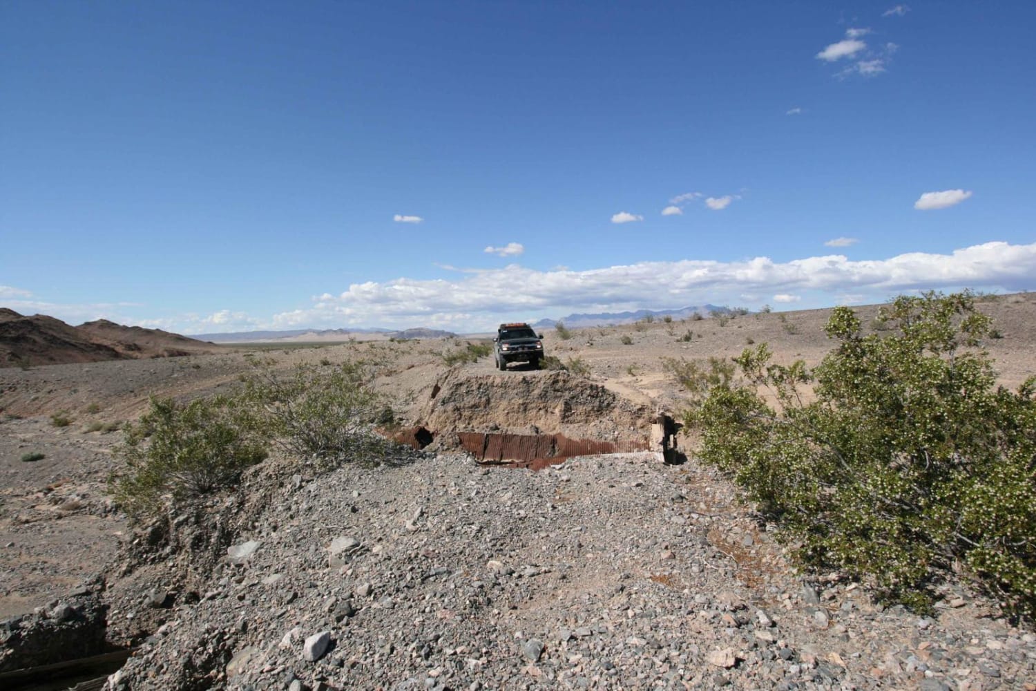
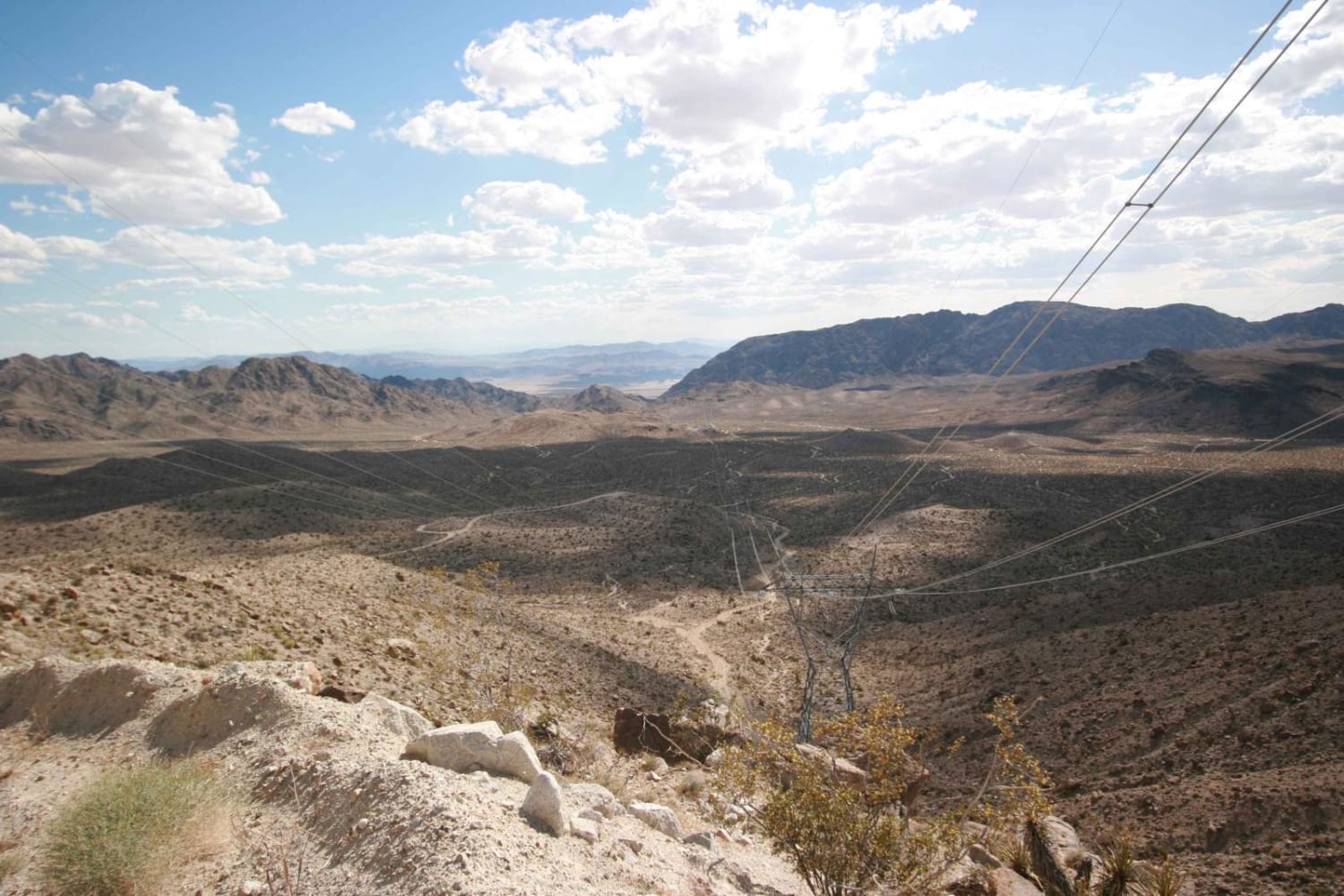
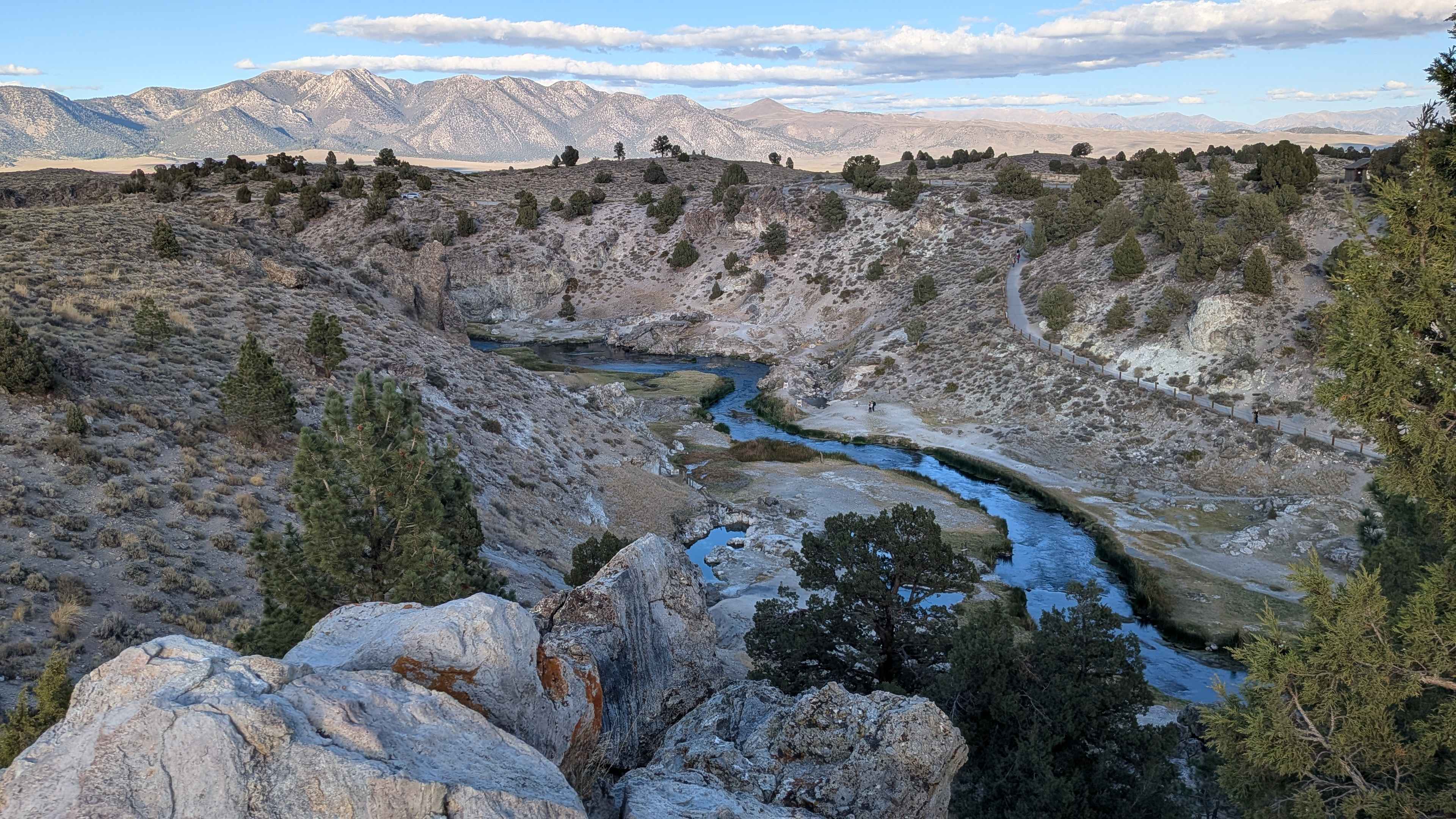
Trail Overview
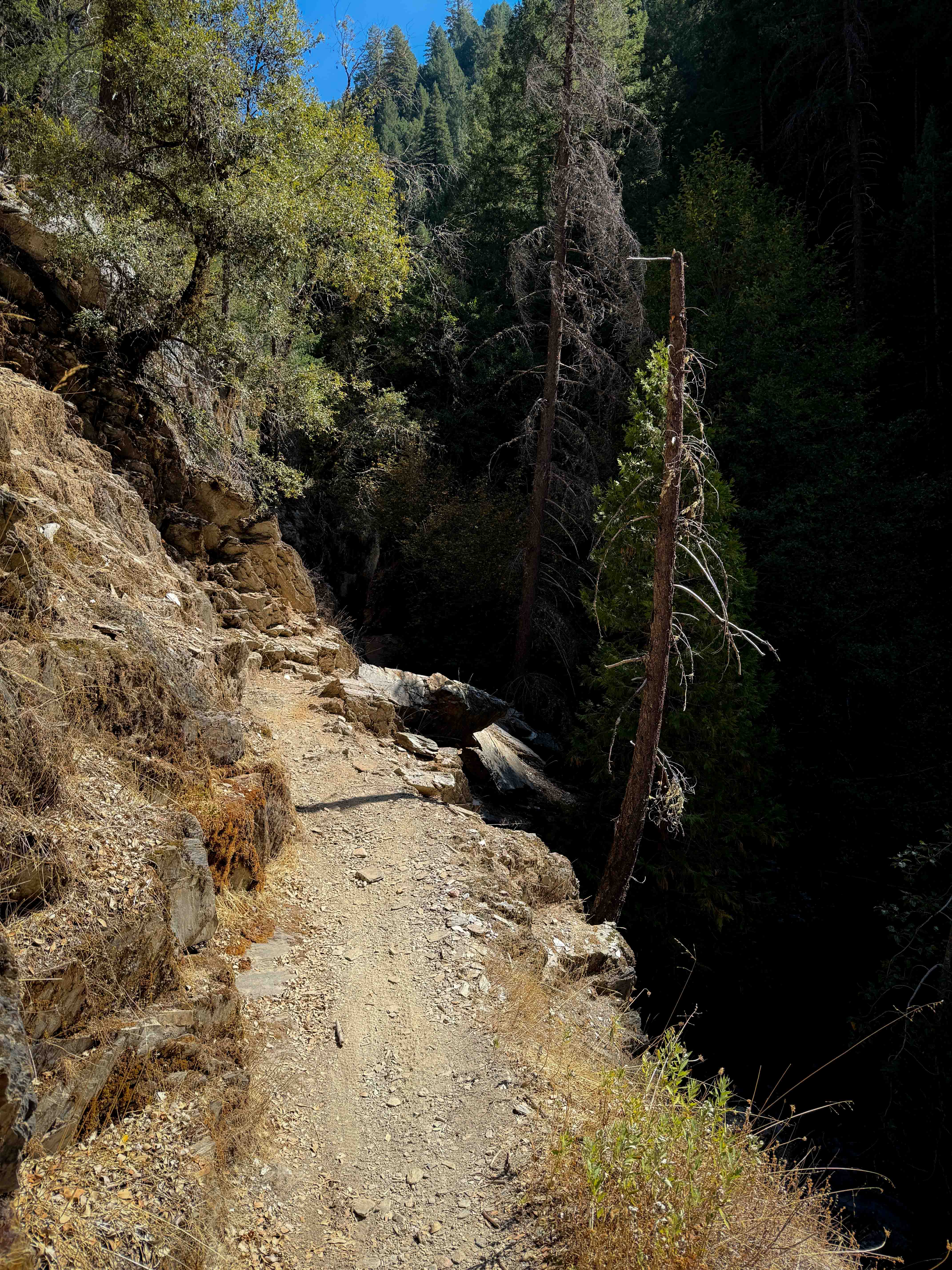
This is leg 2 of 4 to complete the entire East Mojave Heritage Trail (EMHT). The terrain includes hard-pack, loose rock, embedded rock, soft washes, loose soft sand, and lava rock. The route traverses both well-traveled and not-so-frequently-traveled landscapes. Scenery changes between vast open desert expanses, towering mountain ranges offering panoramic views, narrow canyons, and otherworldly Joshua Tree forests. Sweeping views, historical sites, gorgeous terrain, two major mines, and, for the first time - a few hikes await the EMHT explorer on this leg. Segment 2 traverses many small washes but spends time in 3 main washes and crosses alluvial fans, particularly on the northwestern side of Interstate 15. Monitor the weather as flash floods occur without warning. This segment will end atop a mountain near Rocky Ridge with a spectacular view of what awaits you to begin Segment 3. Dispersed camping is widely available. The EMHT Segment 2 traverses BLM and NPS land, so understand where you are and follow the appropriate rules.
Photos of EMHT Segment 2: Ivanpah to Rocky Ridge
Difficulty
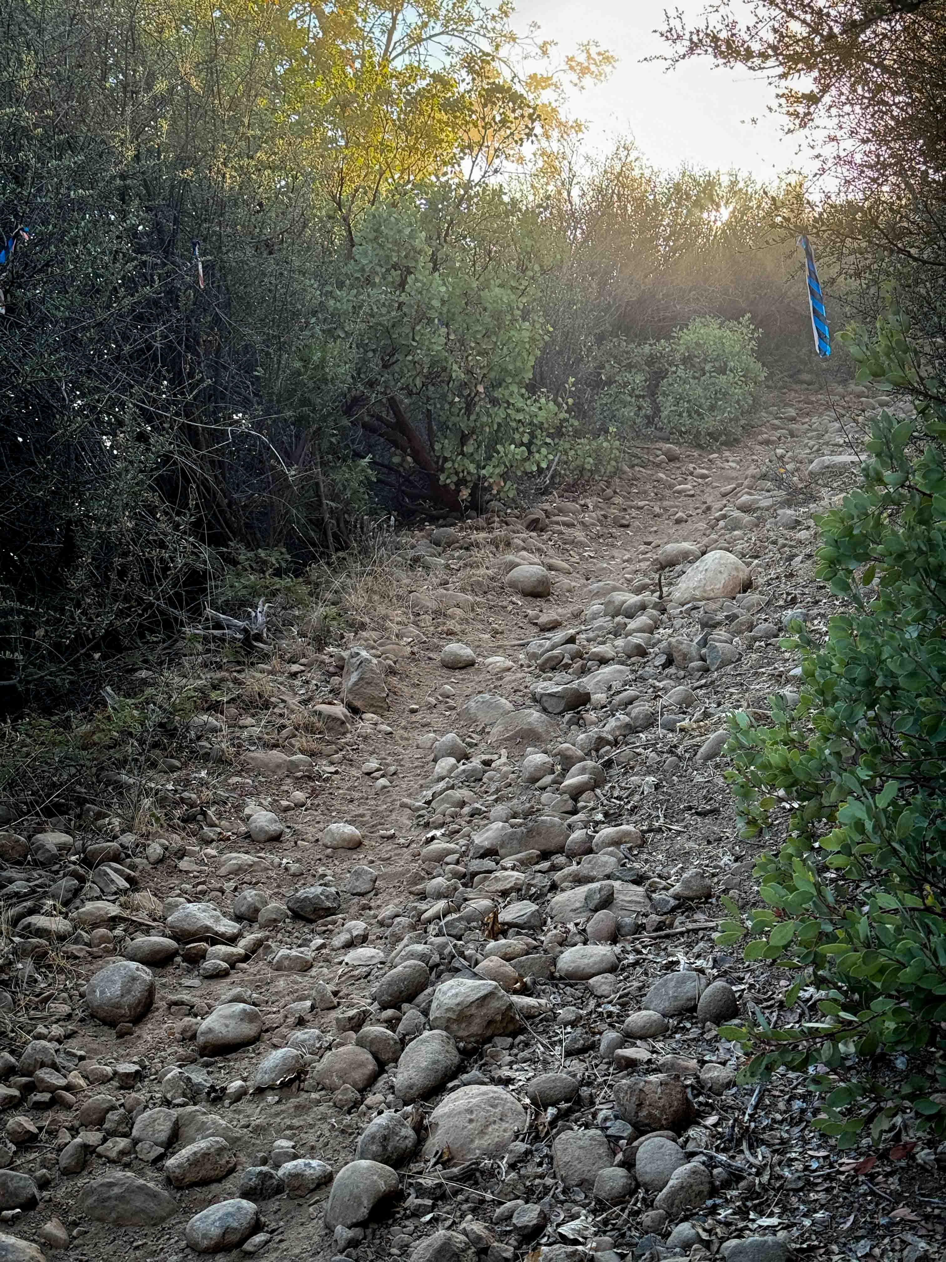
Segment 2 starts off with a steep shelf road climb, then gets extremely remote for a 7-mile stretch. Kingston Wash can be very soft and wet with debris to navigate. The T&T railroad berm has sudden washouts and drop-offs and requires a few off-camber very short climbs. South of Kokoweef there is a short duration narrow twisting canyon with rocks, but there is an alternate route. The areas after that canyon will begin to introduce soft sand. After crossing Cima Road, soft sand will be the norm until you enter a few areas of lava rock, so mind your tires. Willow Wash is soft sand.
History
The East Mojave Heritage Trail, created by Dennis Casebier in the 1980s, is a comprehensive tour through some of the most remote portions of the East Mojave Desert. In its original form, the EMHT covered 660.0 miles with four guidebooks providing historical facts, information on local flora and fauna, detailed geographic descriptions, as well as cumulative mileage along the route. With the implementation of the 1994 Desert Protection Act, and establishment of the Mojave National Preserve, numerous Wilderness Areas cut the trail in at least 13 places impacting a minimum of 75 miles - thus rendering the guidebooks useless as navigational aids - still very useful for general guides and historical information. A recent expedition remapped the EMHT to account for current wilderness boundaries and modern points of interest along or near the route. Fuel points remain the same as those called out in the book. In the interest of desert preservation and impact mitigation, in some areas, the original trail was rerouted onto a more established trail where there is no meaningful difference in the overall experience. In some cases, the written supplements will recommend an optional path that may be less challenging. Segment 2 is 190.5 miles in length.
Status Reports
EMHT Segment 2: Ivanpah to Rocky Ridge can be accessed by the following ride types:
- High-Clearance 4x4
EMHT Segment 2: Ivanpah to Rocky Ridge Map
Popular Trails

Patton Lode Mine
Second Divide
The onX Offroad Difference
onX Offroad combines trail photos, descriptions, difficulty ratings, width restrictions, seasonality, and more in a user-friendly interface. Available on all devices, with offline access and full compatibility with CarPlay and Android Auto. Discover what you’re missing today!