Excelsior Mine Road
Total Miles
18.6
Technical Rating
Best Time
Spring, Fall, Winter
Trail Type
Full-Width Road
Accessible By
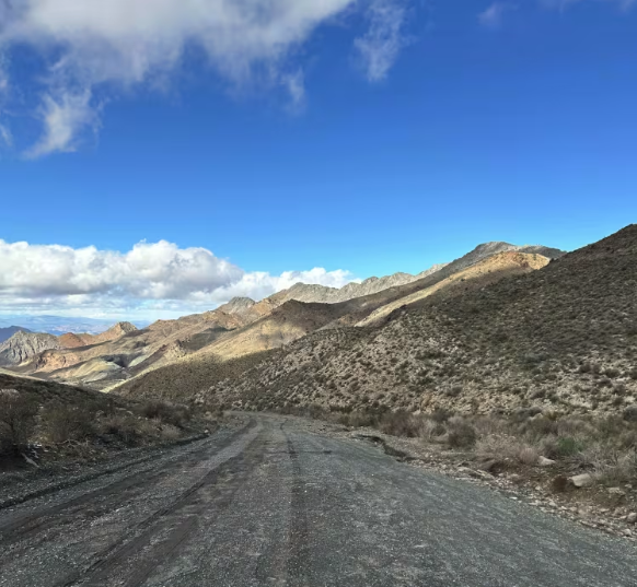
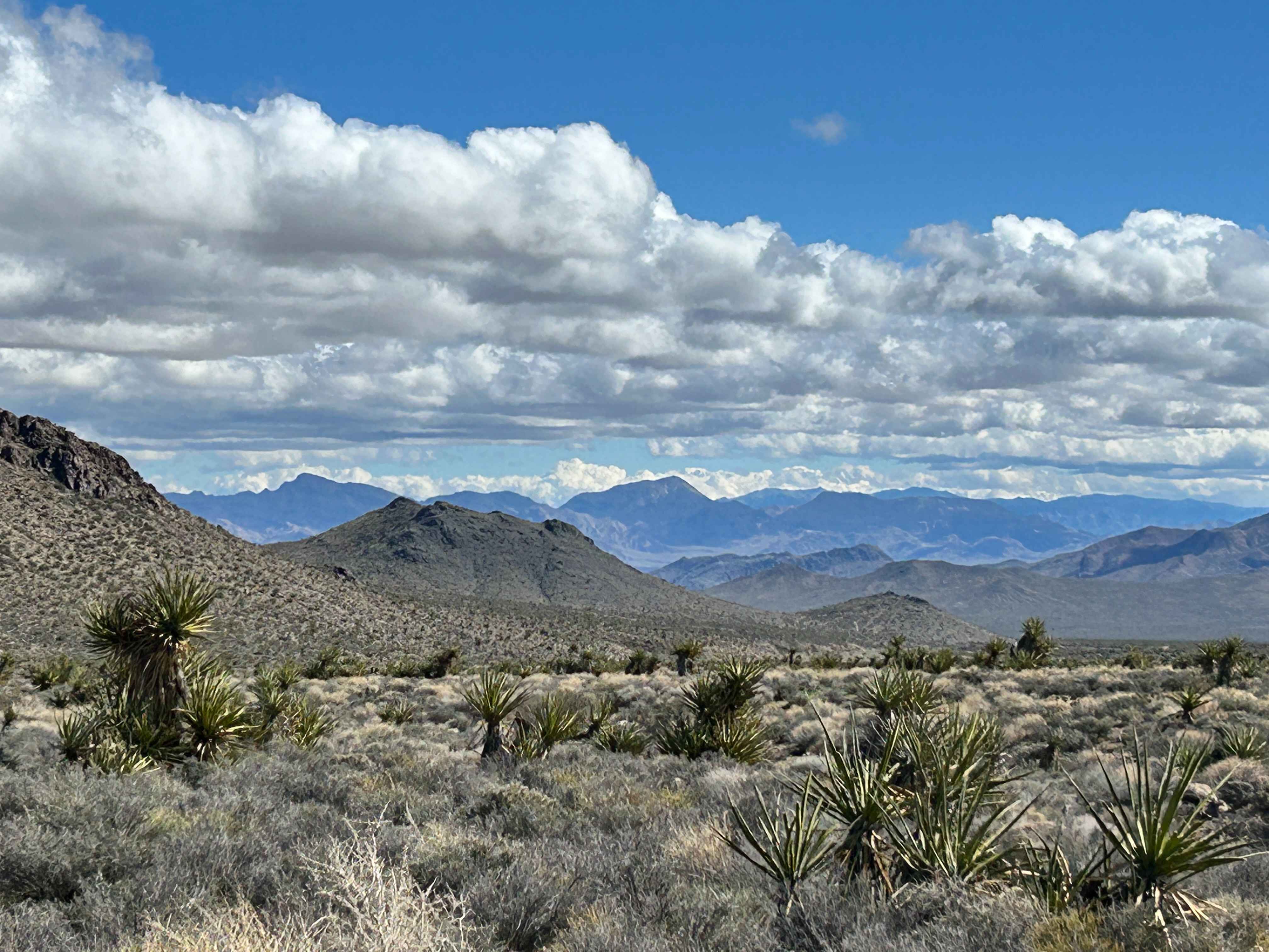
Trail Overview
This route begins at Kingston Wash Road and ends at Mesquite Valley Road, following a mix of aging, broken pavement, gravel stretches, and sections of loose rock. Much of the drive is easy, making it an enjoyable run across varied terrain. Sweeping desert vistas are the norm on this route as you climb over Tecopa Pass (elevation 4685 feet). Along the route, you'll pass the historic Excelsior Mine site and travel through another large, active mining operation. South of the pass, you'll find a vault toilet and picnic tables, offering a convenient spot to stop and take in the views.
Photos of Excelsior Mine Road
Difficulty
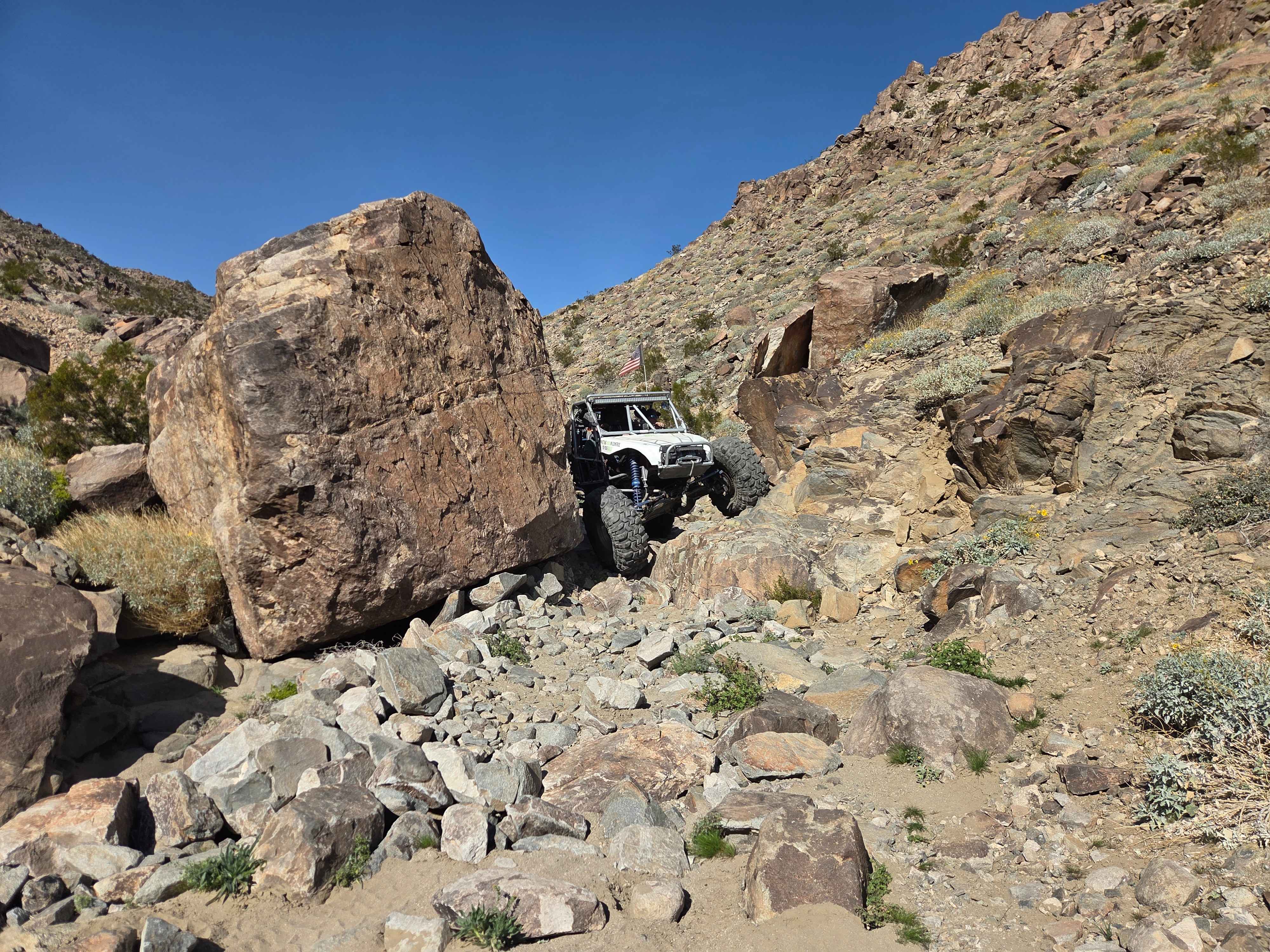
This trail features some areas of loose rock and gravel, and a couple of more difficult areas, but nothing technical. Lots of the route, at least to the Excelsior Mine, is old, crumpled pavement.
Status Reports
Excelsior Mine Road can be accessed by the following ride types:
- High-Clearance 4x4
- SUV
- SxS (60")
- ATV (50")
- Dirt Bike
Excelsior Mine Road Map
Popular Trails

Casa Diablo Mountain FS S134
Willow Lake Road 29N14
The onX Offroad Difference
onX Offroad combines trail photos, descriptions, difficulty ratings, width restrictions, seasonality, and more in a user-friendly interface. Available on all devices, with offline access and full compatibility with CarPlay and Android Auto. Discover what you’re missing today!