Engineer Point
Total Miles
0.6
Technical Rating
Best Time
Fall, Summer, Spring
Trail Type
Full-Width Road
Accessible By
Trail Overview
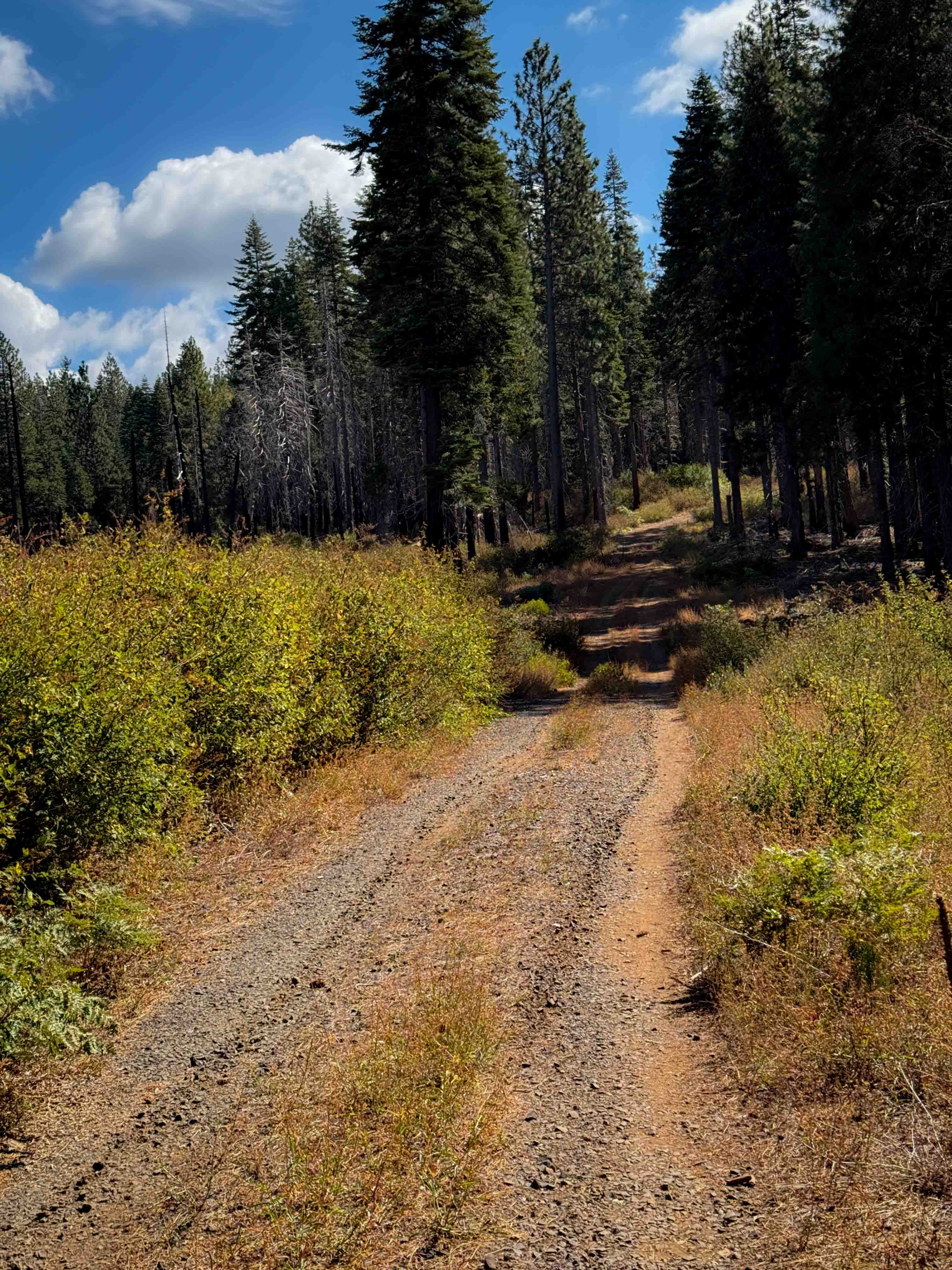
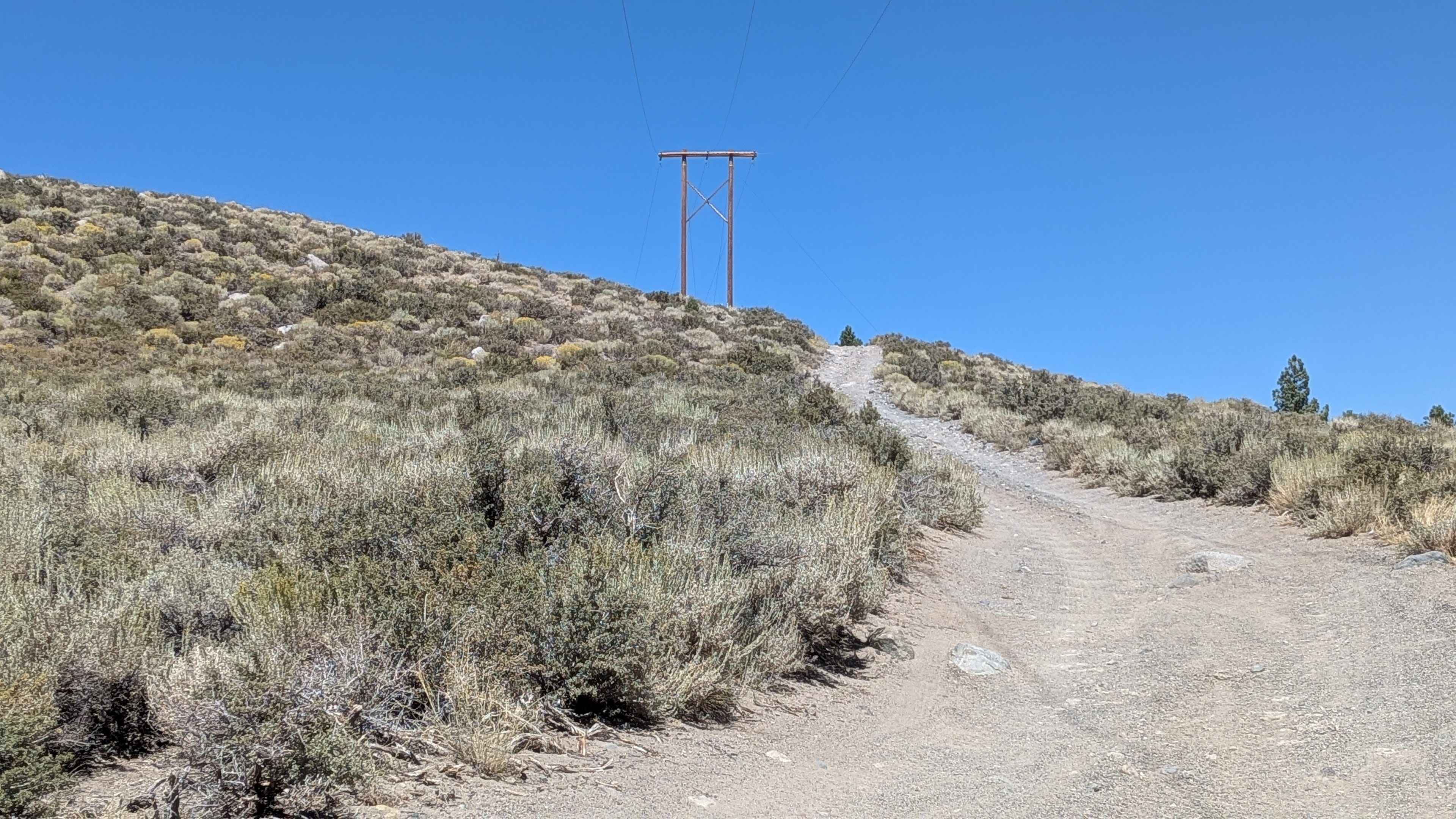
Engineers Point runs along a shelf road tracing a peninsula on Lake Isabella, rolling up and down a series of steep hills with lake views throughout. The trail can be run as a straight out-and-back or extended into a loop by climbing the steep hill up to Engineers Point Overlook, combining two of the better viewpoints in the Lake Isabella network in a single outing. When lake levels are high, the trail may be cut short before reaching the end of the peninsula.
Photos of Engineer Point
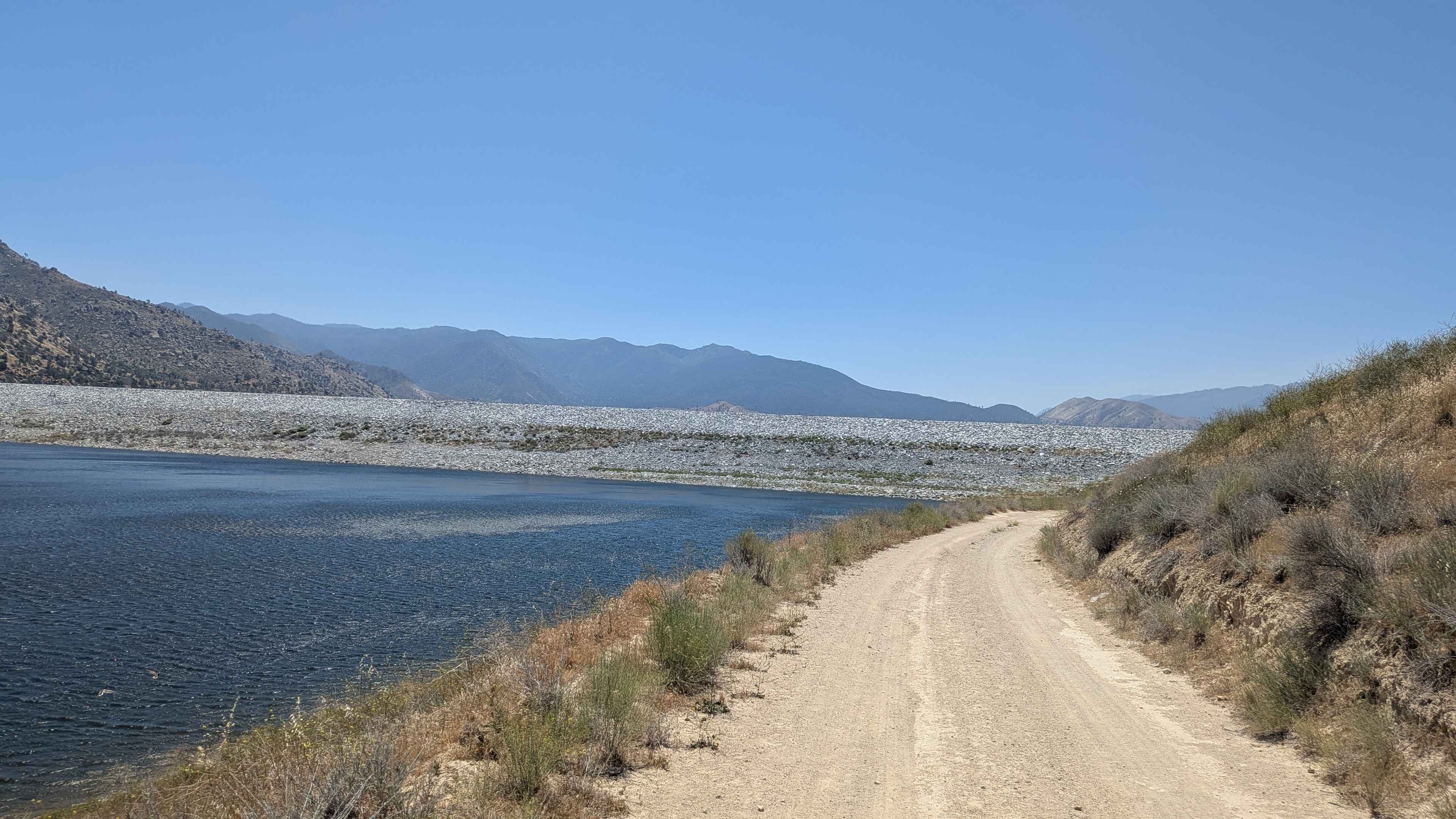
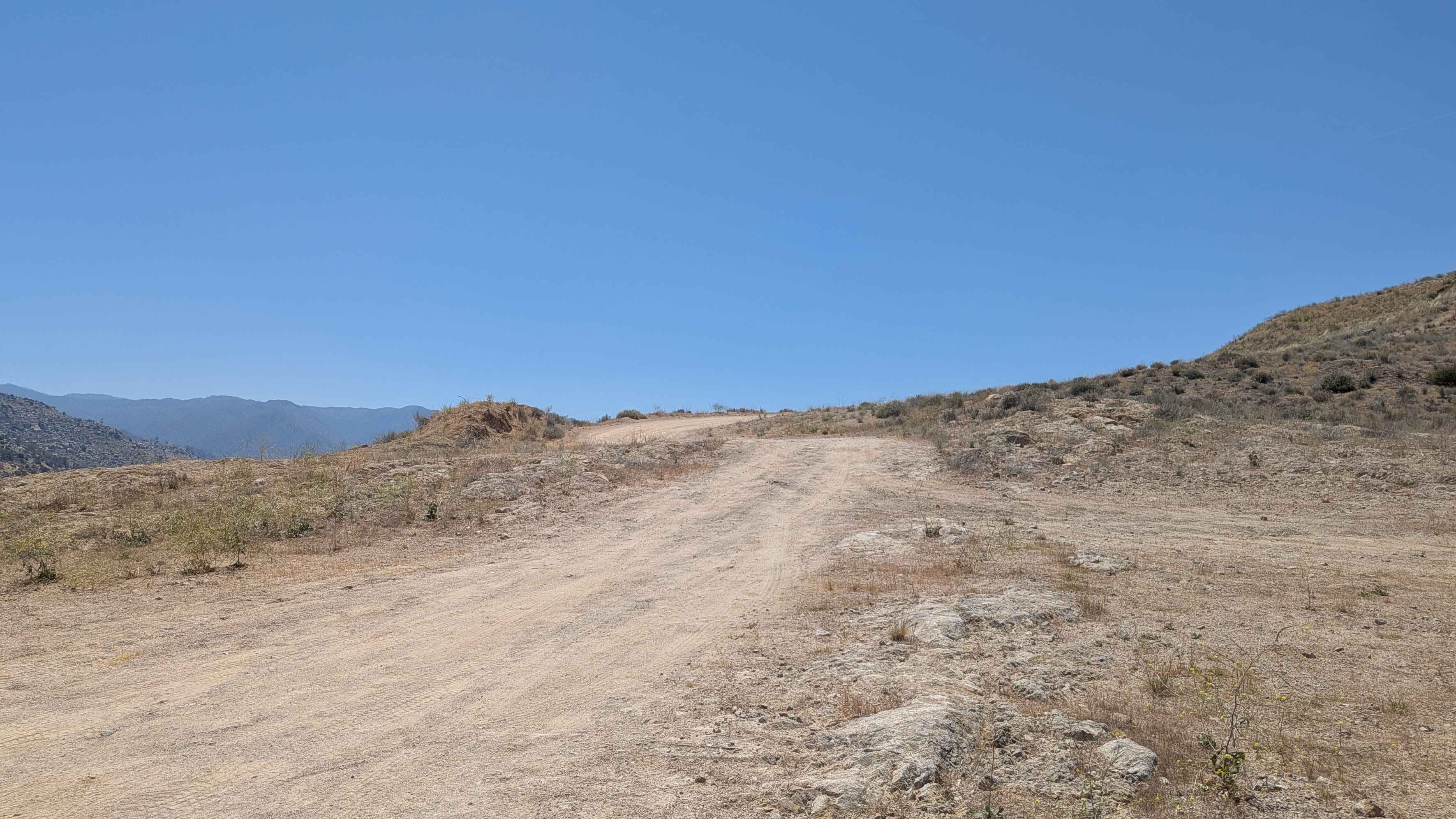
Difficulty
Engineers Point rates a 3. Ruts, off-camber sections, and the repeated elevation changes across the peninsula terrain are the primary technical challenges. The shelf road character adds exposure throughout. Drivers should check lake conditions before heading out, particularly in spring or following heavy rainfall, as high water can shorten the accessible length of the trail.
History
Dam Construction: The area's geography was fundamentally altered in the 1940s and 1950s. The U.S. Army Corps of Engineers constructed the Isabella Dam and Lake in 1953 by damming the north and south forks of the Kern River. This forced the relocation of the original towns of Isabella and Kernville.Geological Significance: The point is famous in geologic circles for exposing a 1.25-kilometer stretch of the proto-Kern Canyon Fault. Researchers study the exposure to understand how the fault has shifted over millions of years. Recent History: In 2018, the U.S. Forest Service demolished its old administrative office situated at the base of Engineer Point. This clearing was done in preparation for the Isabella Lake Dam Safety Modification Project, a major modification undertaken by the U.S. Army Corps of Engineers to mitigate seepage, handle maximum floods, and stabilize the region against seismic activity.
Status Reports
Engineer Point can be accessed by the following ride types:
- High-Clearance 4x4
- SUV
- SxS (60")
- ATV (50")
- Dirt Bike
Engineer Point Map
Popular Trails
Sardine Lakes
The onX Offroad Difference
onX Offroad combines trail photos, descriptions, difficulty ratings, width restrictions, seasonality, and more in a user-friendly interface. Available on all devices, with offline access and full compatibility with CarPlay and Android Auto. Discover what you’re missing today!