FS 1S105
Total Miles
4.5
Technical Rating
Best Time
Fall, Summer
Trail Type
Full-Width Road
Accessible By
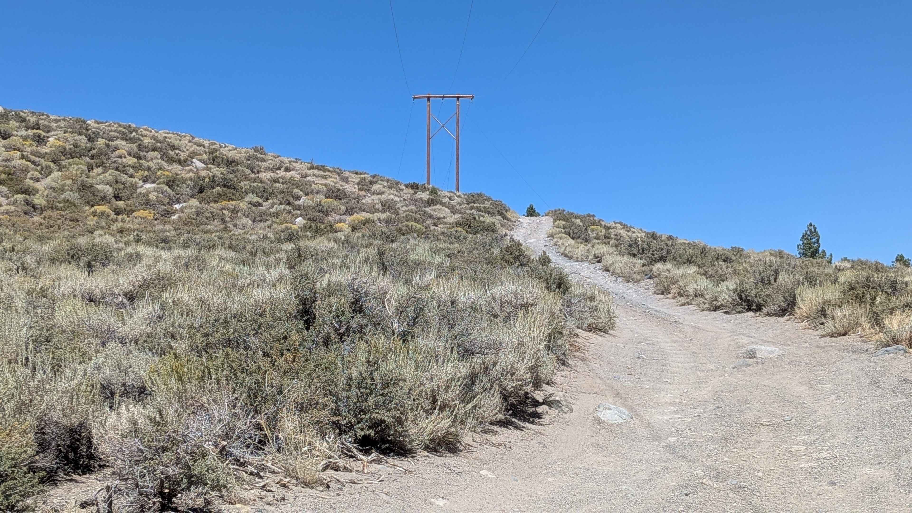
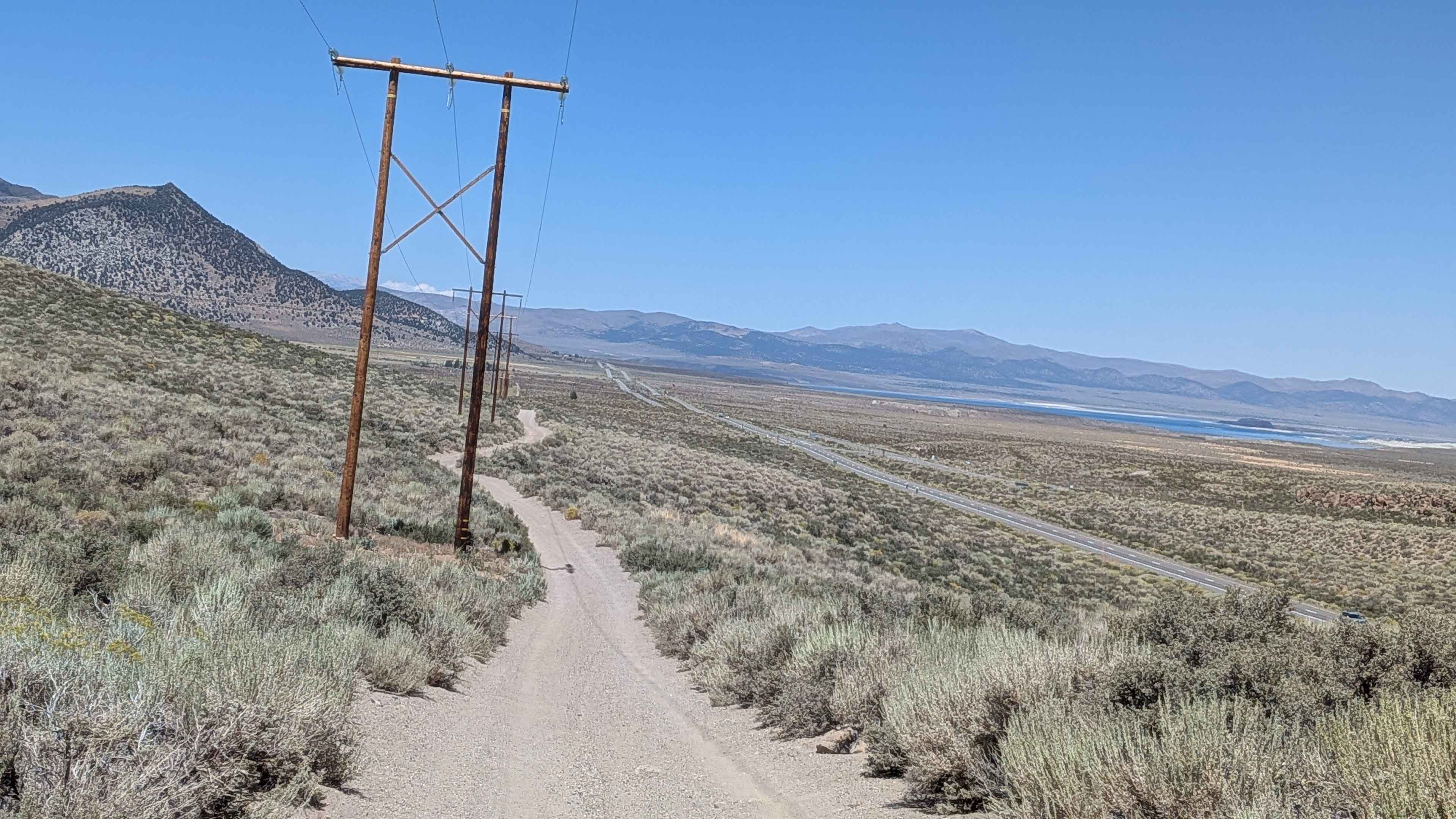
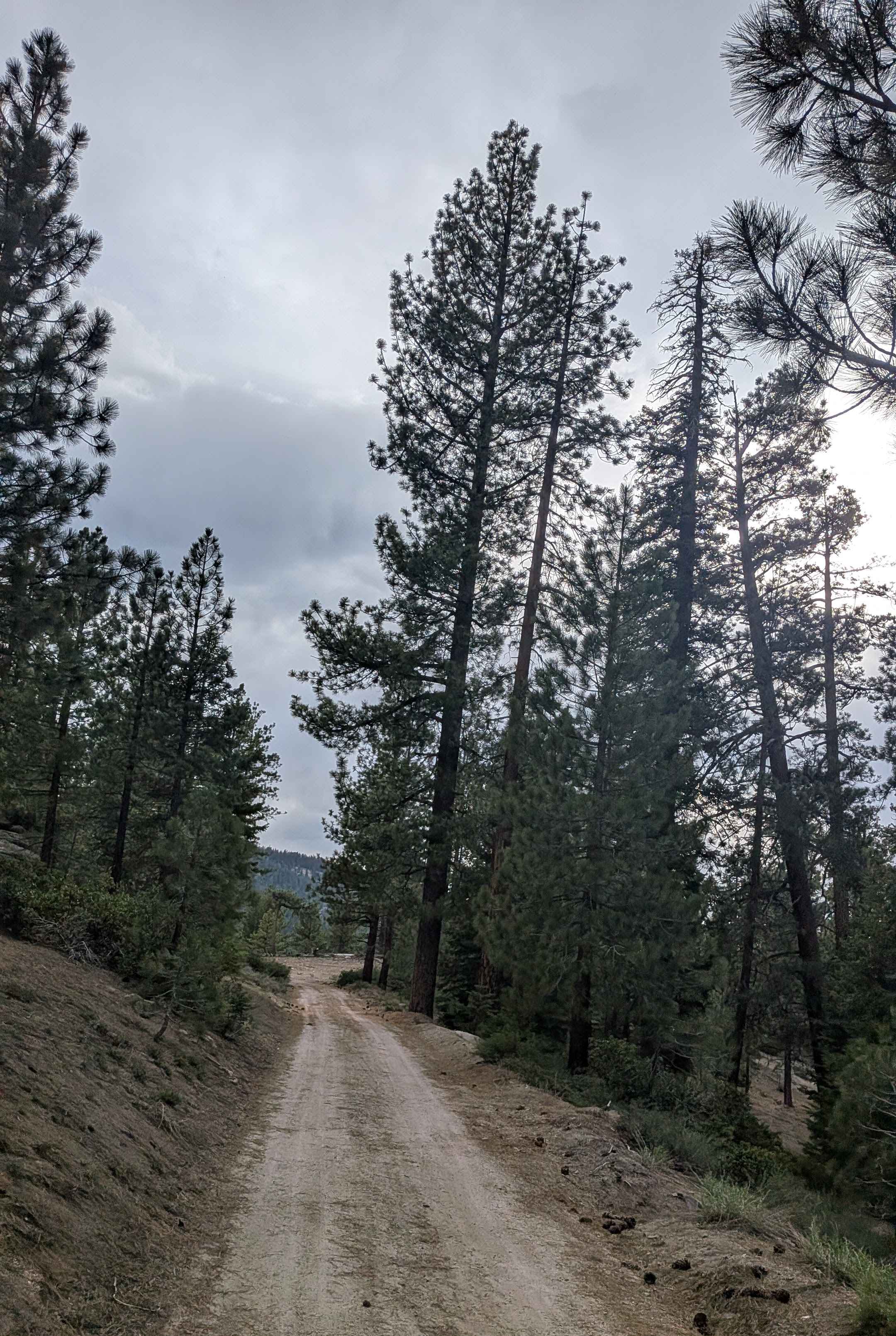
Trail Overview
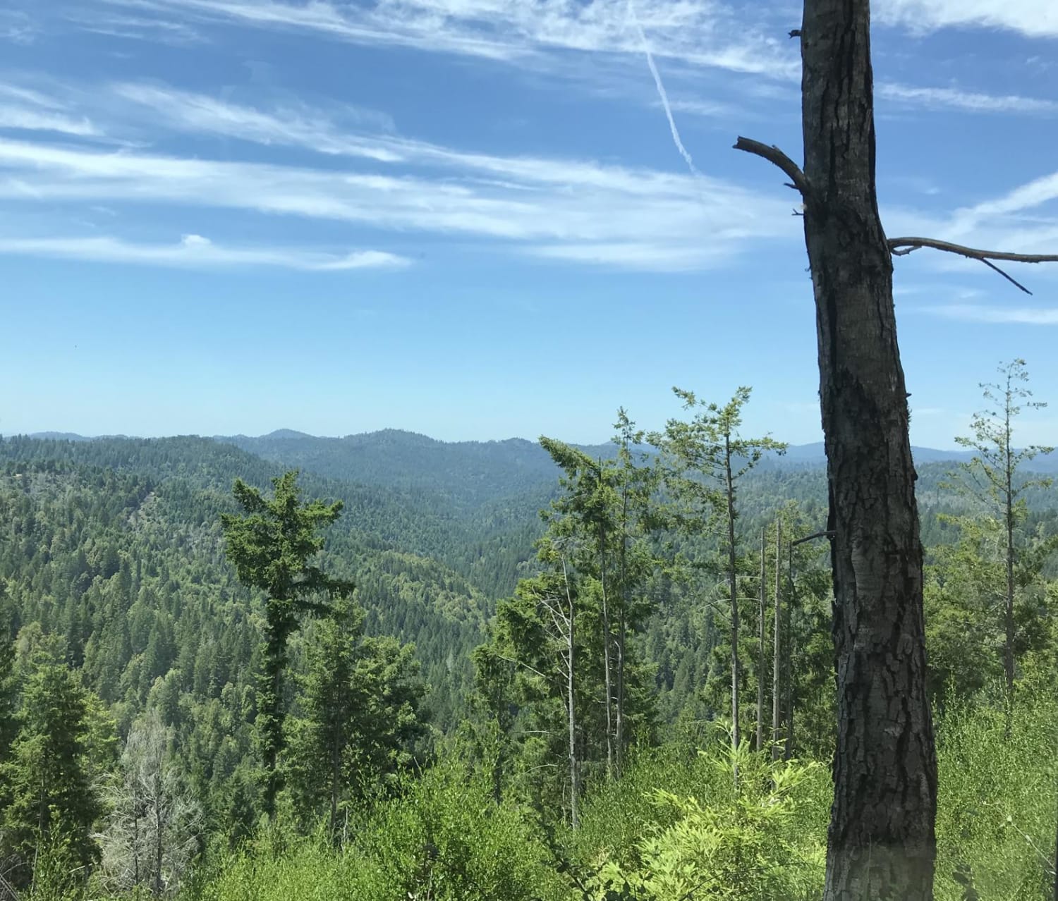
This route climbs almost 800 feet and drops almost 200 feet over just over 4.5 miles, following the power line from North Shore Drive. The trail runs parallel to Highway 395 and offers views of the Eastern Sierras, including June Lake ski resort, Crater Mountain, and Mono Lake throughout the journey. Various dispersed camping spots are available off the many spur trails for those who pack out what they bring in.
Photos of FS 1S105
Difficulty
This trail earns a low difficulty rating with its gravel surface that is about two vehicles wide, though it features lots of whoops and washboards due to heavy side-by-side use. At mile 7.5 from the south end, the trail starts climbing a hill with some rocks and whoops. A high clearance vehicle is highly recommended. There is a soft shoulder shelf road on the north side of the switchback, so use caution and lower your speed in this section.
Status Reports
FS 1S105 can be accessed by the following ride types:
- High-Clearance 4x4
- SUV
- SxS (60")
- ATV (50")
- Dirt Bike
FS 1S105 Map
Popular Trails
Salmon Creek FS 23S08
Global Rock - FS 5S004
Sherwood Road
The onX Offroad Difference
onX Offroad combines trail photos, descriptions, difficulty ratings, width restrictions, seasonality, and more in a user-friendly interface. Available on all devices, with offline access and full compatibility with CarPlay and Android Auto. Discover what you’re missing today!