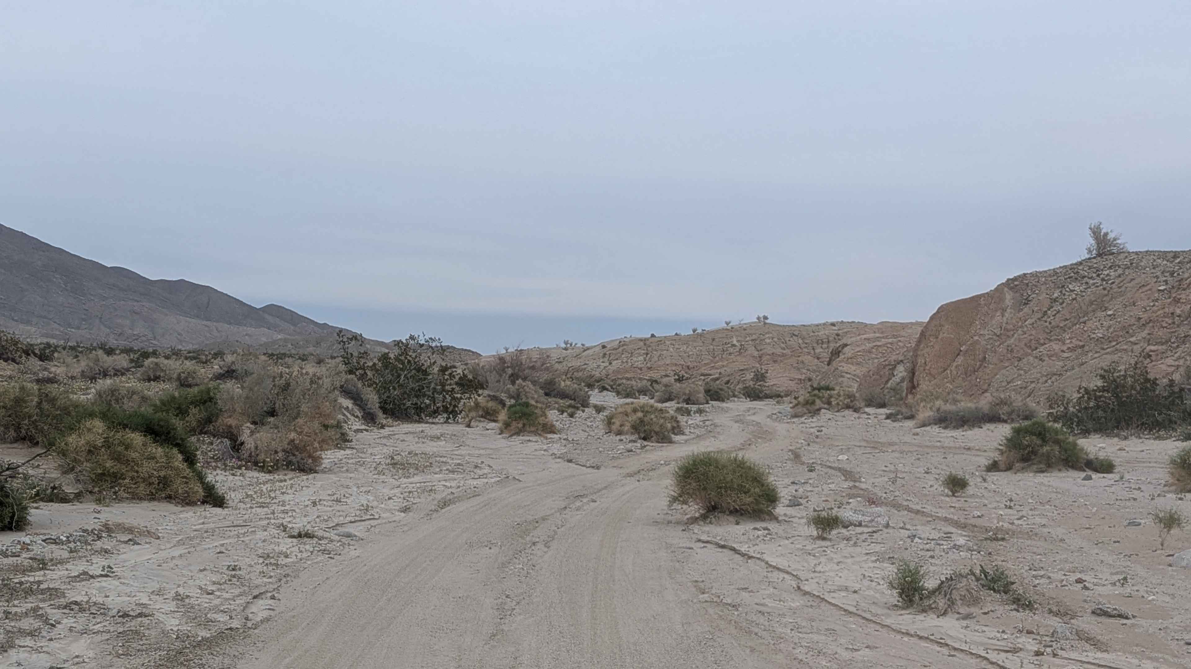
Off-Road Trails in California
Discover off-road trails in California
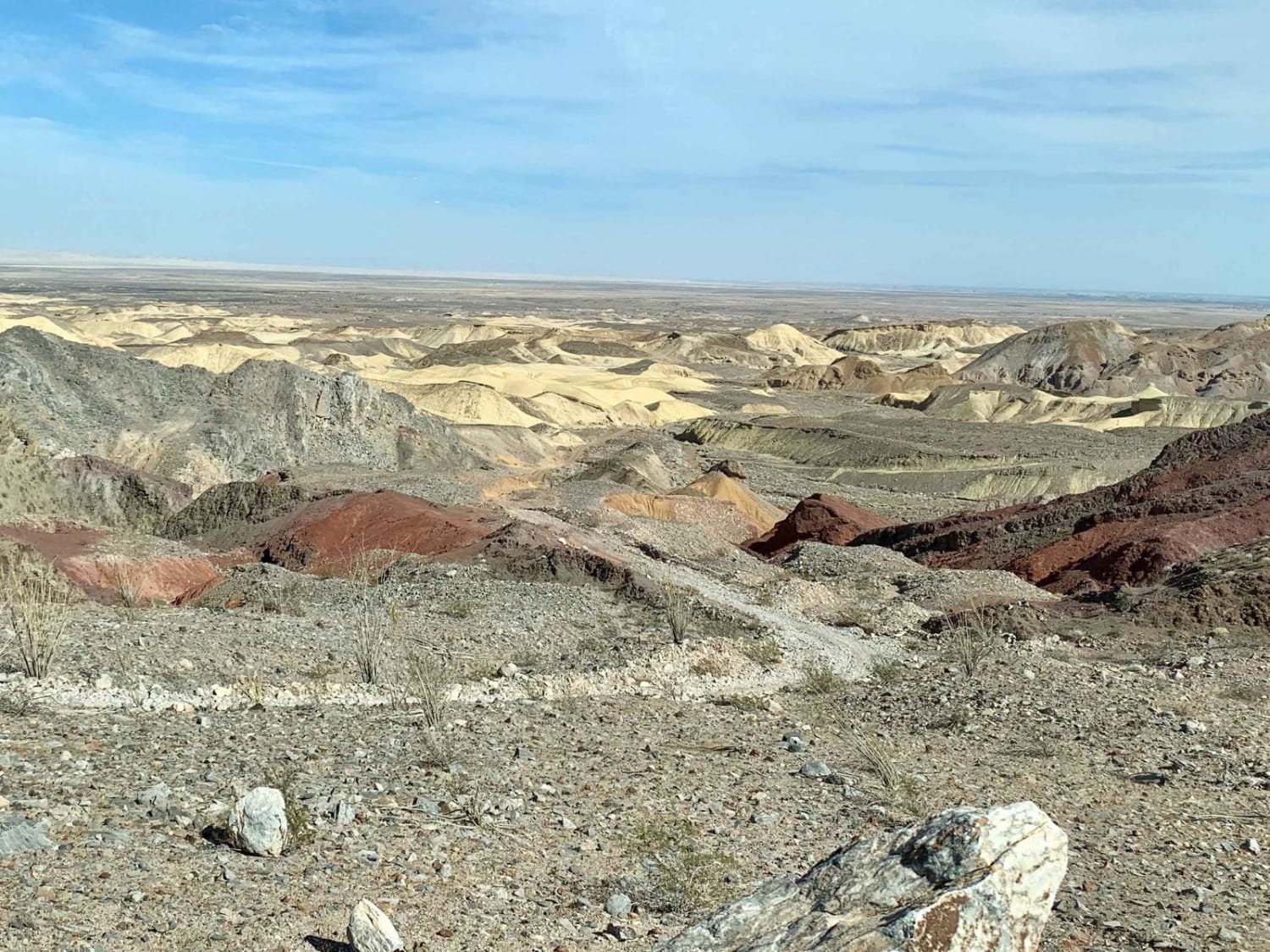
Learn more about EC 236 Painted Gorge Road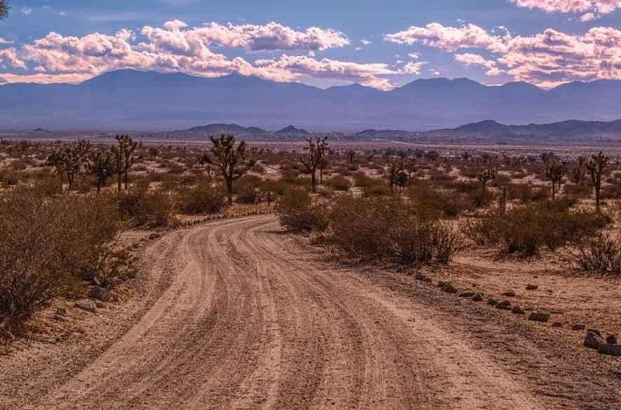
EC 236 Painted Gorge Road
Total Miles
4.9
Tech Rating
Easy
Best Time
Summer, Fall
Learn more about EC 274 Yuha Desert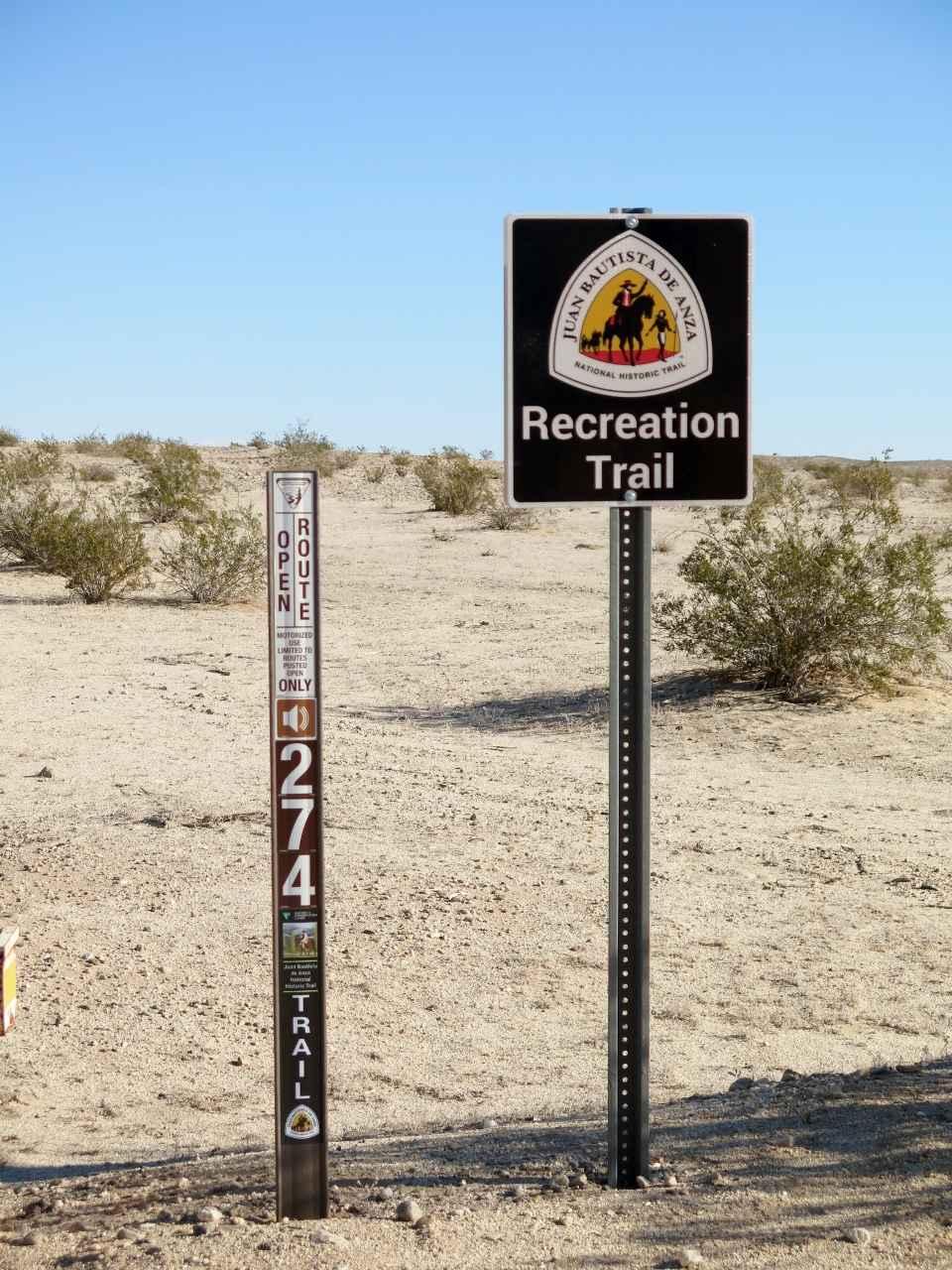
EC 274 Yuha Desert
Total Miles
10.7
Tech Rating
Easy
Best Time
Spring, Summer, Fall, Winter
Learn more about EC 282 Yuha Desert
EC 282 Yuha Desert
Total Miles
2.7
Tech Rating
Easy
Best Time
Spring, Summer, Fall, Winter
Learn more about EC 285 Yuha Desert
EC 285 Yuha Desert
Total Miles
2.0
Tech Rating
Easy
Best Time
Spring, Summer, Fall, Winter
Learn more about EC 311 Yuha Desert
EC 311 Yuha Desert
Total Miles
3.3
Tech Rating
Easy
Best Time
Spring, Summer, Fall, Winter
Learn more about EC 33 Table Mountain
EC 33 Table Mountain
Total Miles
2.0
Tech Rating
Easy
Best Time
Spring, Summer, Fall, Winter
Learn more about EC 346 Yuha Desert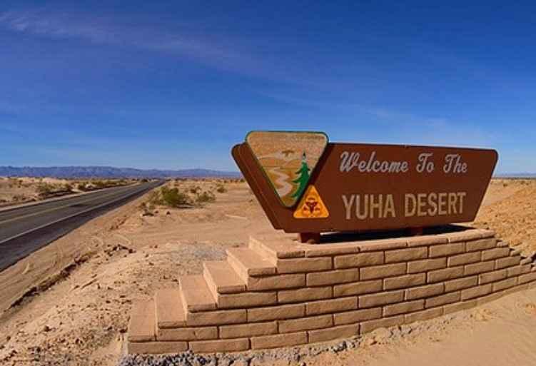
EC 346 Yuha Desert
Total Miles
7.5
Tech Rating
Easy
Best Time
Spring, Fall, Summer, Winter
Learn more about EC 39 Table Mountain
EC 39 Table Mountain
Total Miles
1.0
Tech Rating
Easy
Best Time
Spring, Summer, Fall, Winter
Learn more about Echo Canyon Road
Echo Canyon Road
Total Miles
9.4
Tech Rating
Easy
Best Time
Spring, Fall, Winter
Learn more about Edison Lake Road/Kaiser Pass North
Edison Lake Road/Kaiser Pass North
Total Miles
8.8
Tech Rating
Easy
Best Time
Spring, Summer, Fall
Learn more about Edison Road (9N01) / Picnic Peak
Edison Road (9N01) / Picnic Peak
Total Miles
4.0
Tech Rating
Easy
Best Time
Spring, Summer, Fall, Winter
Learn more about Edison Road Section 3 - 1N32
Edison Road Section 3 - 1N32
Total Miles
2.8
Tech Rating
Easy
Best Time
Spring, Fall, Winter
Learn more about El Camino Estate Road - FS 32150
El Camino Estate Road - FS 32150
Total Miles
1.5
Tech Rating
Easy
Best Time
Summer, Fall
Learn more about El Paseo Road
El Paseo Road
Total Miles
4.8
Tech Rating
Easy
Best Time
Spring, Fall, Winter
Learn more about Elizabeth Tunnel/South Portal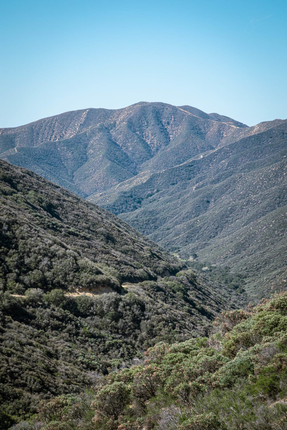
Elizabeth Tunnel/South Portal
Total Miles
3.9
Tech Rating
Moderate
Best Time
Spring, Summer, Fall, Winter
Learn more about Elkhorn Road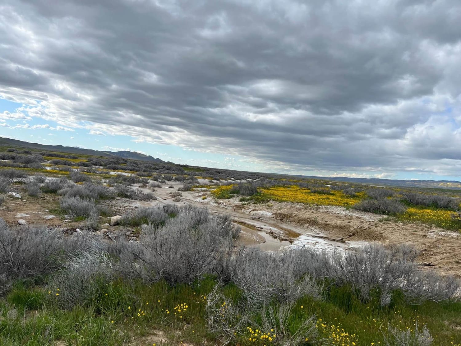
Elkhorn Road
Total Miles
29.1
Tech Rating
Easy
Best Time
Spring, Winter, Fall
ATV trails in California


UTV/side-by-side trails in California


Learn more about 3N267 Fenner Saddle (4N12)
3N267 Fenner Saddle (4N12)
Total Miles
3.8
Tech Rating
Difficult
Best Time
Spring, Summer, Fall, Winter

The onX Offroad Difference
onX Offroad combines trail photos, descriptions, difficulty ratings, width restrictions, seasonality, and more in a user-friendly interface. Available on all devices, with offline access and full compatibility with CarPlay and Android Auto. Discover what you’re missing today!