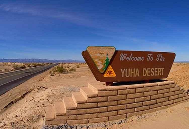
EC 346 Yuha Desert
Total Miles
7.5
Technical Rating
Best Time
Spring, Fall, Summer, Winter
Trail Type
Full-Width Road
Accessible By
Trail Overview
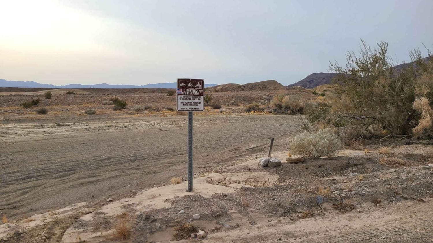
EC 346 Yuha Desert is a 7.4-mile point-to-point trail rated 3 of 10 in Imperial County. EC346 is a BLM-designated "Open" route and is accessible by all types of vehicles. Both the east and west ends of the trail can be accessed from EC 274. The highlights along EC 346 are the Oyster Shell Beds and the Wells of Santa Rosa de las Lajas also known as the Yuhu Well. The Oyster Shell beds contain thousands of petrified fossilized shells which are the remnants of a time when the entire area was underwater. These remarkably well-preserved fossil shells are remnants of Miocene oceans in the Imperial formation, which covered most of Imperial and central Riverside Counties about 6 million years ago. Rules for the collection of fossilized shells can be obtained from BLM's El Centro Field Office. A few shells can be found close to the trail on either side, but the larger field is about a 250-yard hike due south. The recommended parking vicinity is 32deg44'10.35"N, 115deg50'14.62"W. Avid rockhounders can search the area for gypsum, which is commonly found in the shell bed area. Agate, jasper, and obsidian can also be found closer to the Dunaway Road Exit. The Yuha Well is another historic landmark along EC 346. More than 200 years ago Lieutenant Colonel Juan Bautista de Anza's party, guided by Native Americans, replenished their water supplies here before pushing on in their quest to establish a trade route between Arizona and the Pacific Coast. The Yuha Well became an important oasis for later travelers and settlers who followed Anza's trail through the desert. Along Highway 98 and at other access points to the Yuha, you'll see Limited Use Area signs. This means that motorized vehicle travel is allowed, but that it is limited to approved routes of travel. No cross-country travel is allowed, including off-road hill climbs and construction or use of three- and four-wheeler play loops. The area is accessible year-round but summer temperatures can exceed 115 degrees. Cell phone service is intermittent. All major services are located 23 miles east in El Centro.
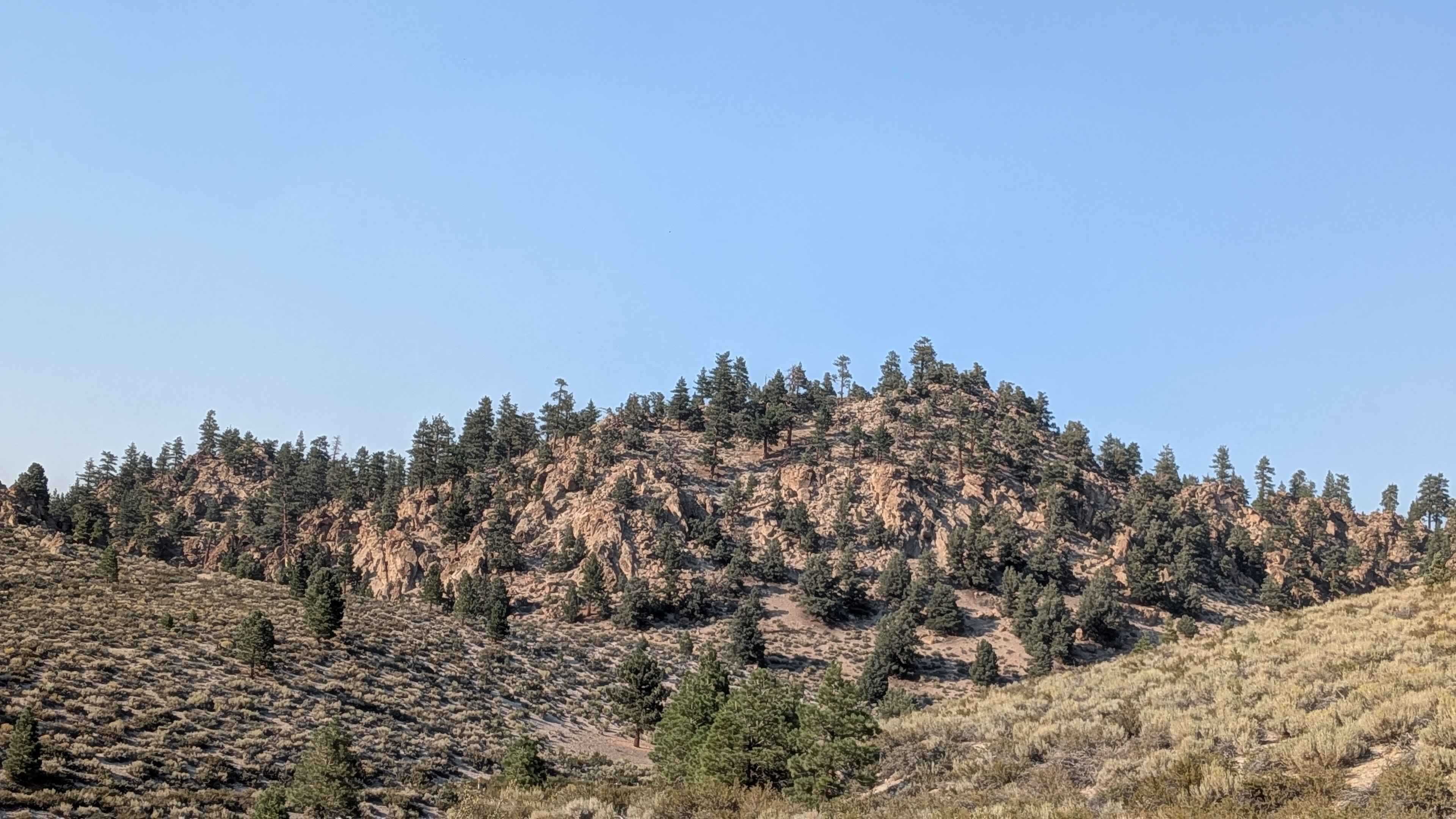
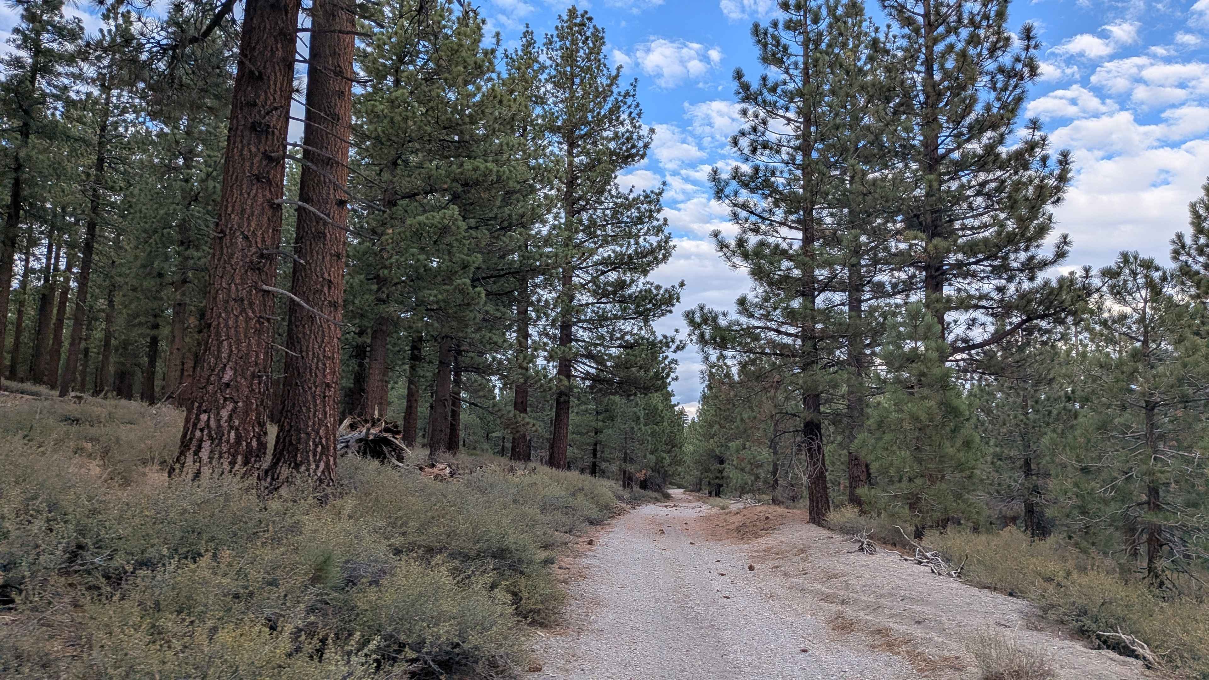
Photos of EC 346 Yuha Desert
Difficulty
The trail consists of loose rocks, dirt, and sand with some slickrock surfaces and possible mud holes, but no steps higher than 12 inches. 4WD may be required, and aggressive tires are a plus.
History
The Yuha Desert is a section of the Sonoran Desert located in the Imperial Valley of California, south of Interstate 8, west of El Centro, and north of the international border. Unique aspects of the Yuha Desert include the Oyster Shell Beds, De Anza Historical Monument, Crucifixion Thorn Natural Area, and the Yuha geoglyph. It is the homeland of the Kamia, also spelled Kumeyaay, and may have been used by other Native American groups such as the Cahuilla, Quechan, and Cocopah Native American people. The Yuha Desert is a BLM area of critical environmental concern (ACEC). It is home to sensitive plants and animals as well as historic and prehistoric cultural sites. It is a limited-use area, meaning that travel is limited to designated routes of travel to protect these resources, so please observe all posted signs. An audio tour describing several points of interest in the area is available from BLM's El Centro Field Office. The Yuha Desert can be accessed from State Highway 98 and from the Dunaway Road exit off Interstate 8.
Status Reports
EC 346 Yuha Desert can be accessed by the following ride types:
- High-Clearance 4x4
- SUV
- SxS (60")
- ATV (50")
- Dirt Bike
EC 346 Yuha Desert Map
Popular Trails
Aftershock
Greenhorn Mountain West - FS 26S01
Forest Service Road 4S121
Alpers Canyon - FS 103
The onX Offroad Difference
onX Offroad combines trail photos, descriptions, difficulty ratings, width restrictions, seasonality, and more in a user-friendly interface. Available on all devices, with offline access and full compatibility with CarPlay and Android Auto. Discover what you’re missing today!