Bull Creek Road North
Total Miles
5.2
Technical Rating
Best Time
Fall, Summer, Spring
Trail Type
Full-Width Road
Accessible By
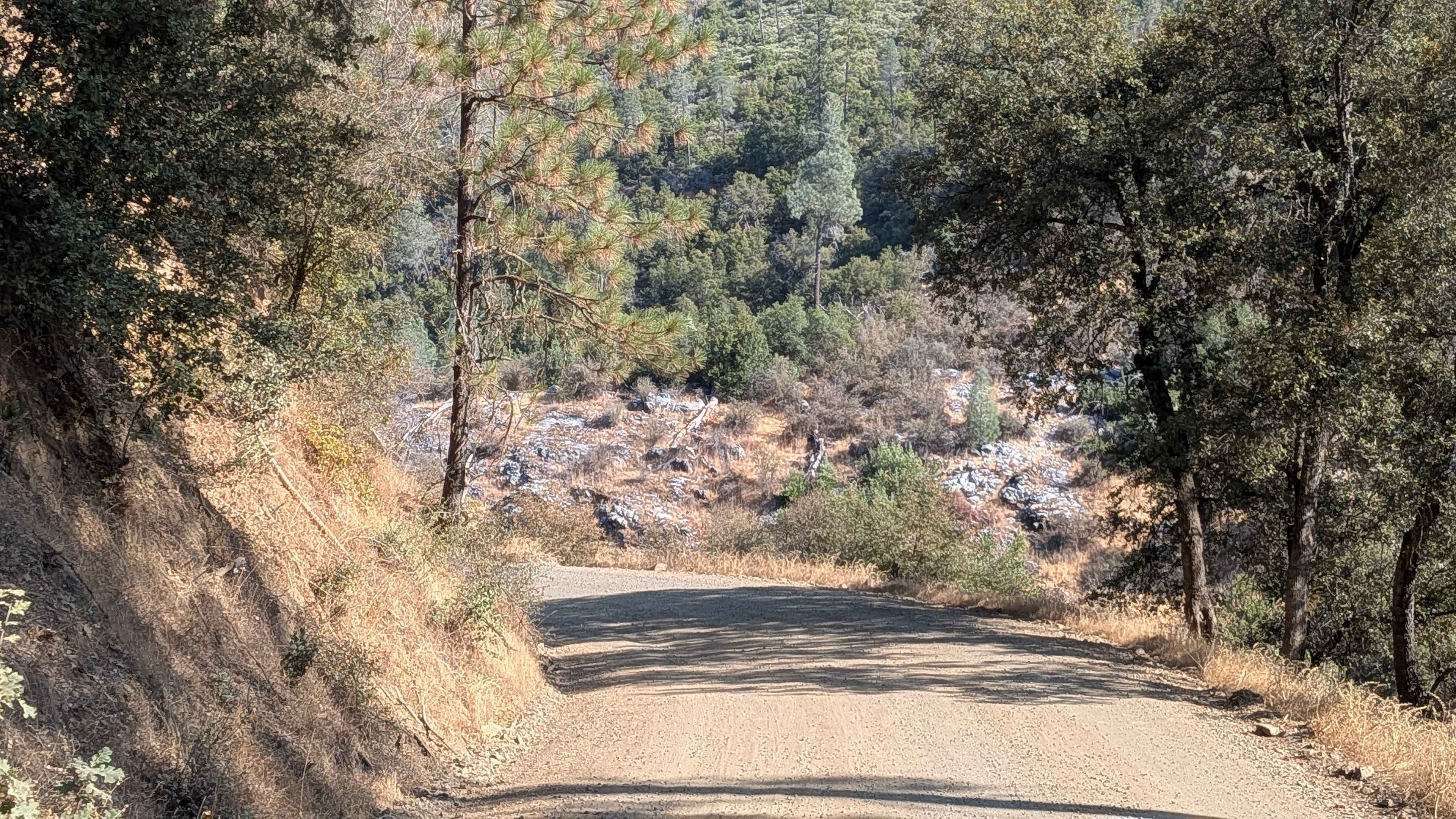
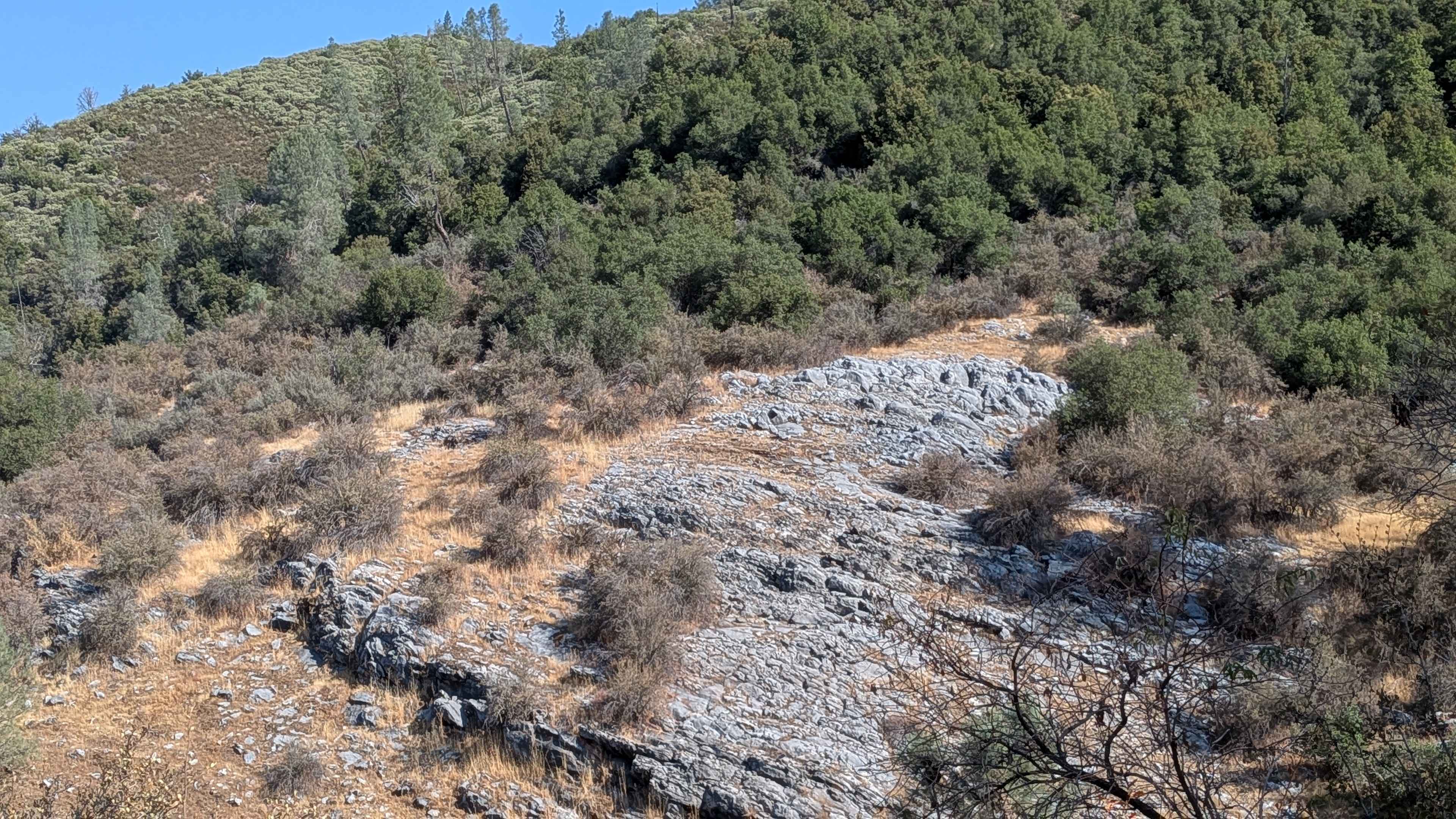
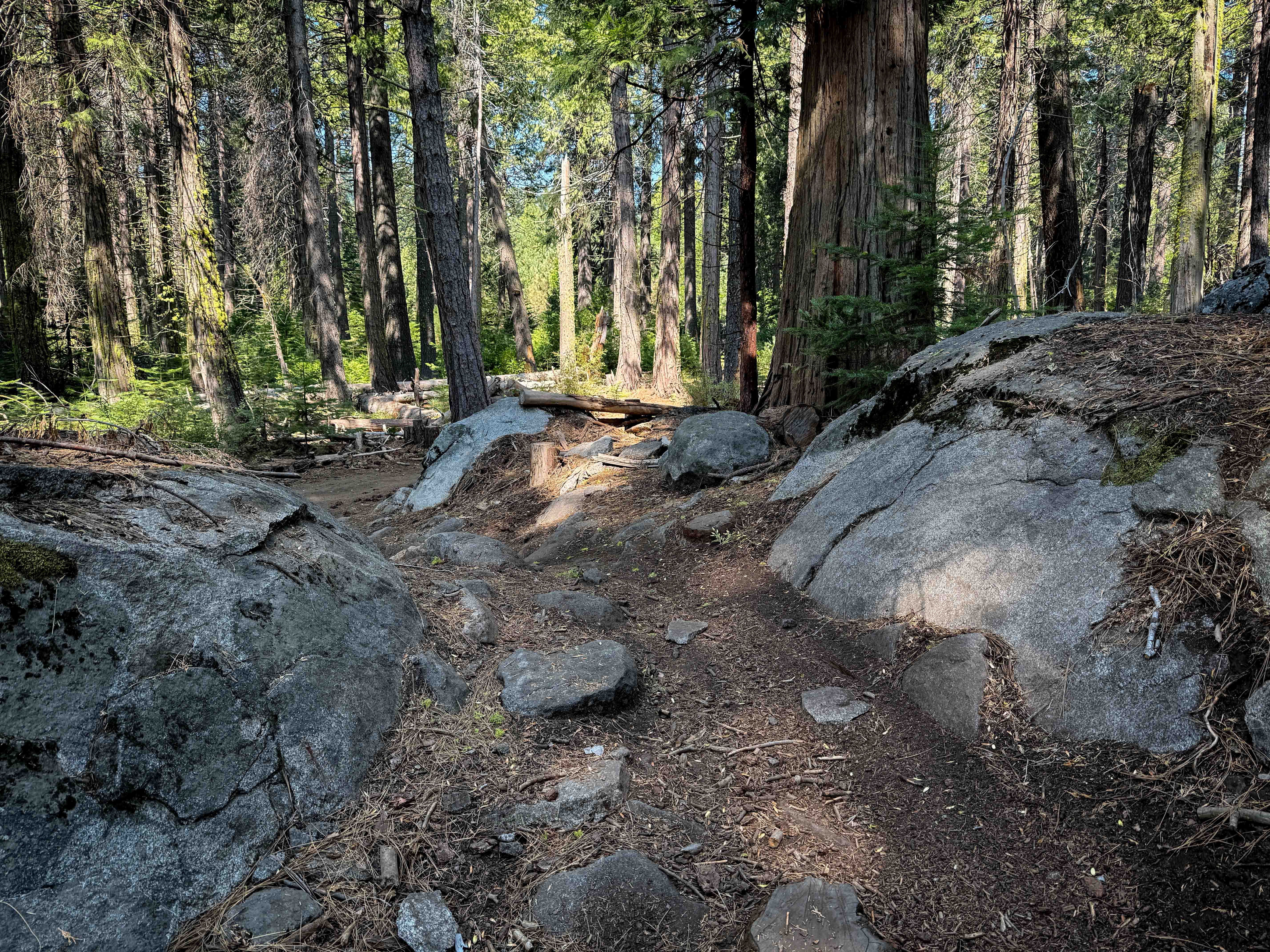
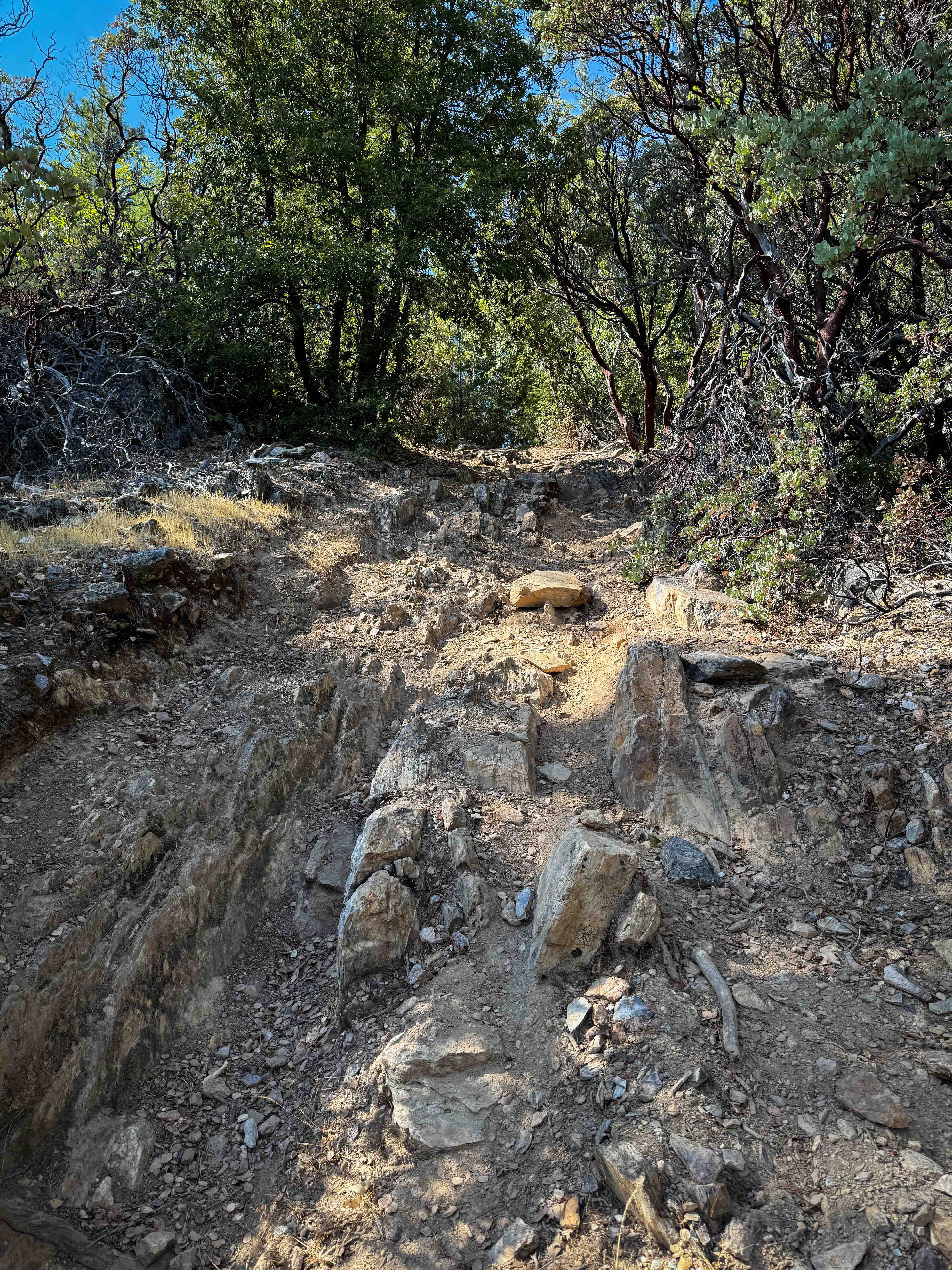
Trail Overview
This trail starts just off Briceburg Road (FS 2S05) and ends at Old Yosemite Coulterville Road. The road then becomes paved. The route climbs almost 300 feet and drops almost 500 feet over 3.5 miles of varied landscape. As a county-maintained road, only street-legal vehicles are permitted on this route, making it accessible to a wider range of vehicles than typical off-road trails. The trail runs along another shelf road positioned just above a creek, providing pleasant water features and scenic creek-side driving. The trail width alternates between one to two vehicles wide throughout most of the journey, with adequate space for passing when needed. At mile 1, the route continues climbing while the forest opens up to reveal nice views of the valley below, offering scenic rewards for the gradual ascent. After mile 4, the trail character changes as it alternates between farmland and forest land, featuring short stretches of paved sections near the farms that require respectful behavior around private property. Following the second farm, the trail opens up to 2 to 2.5 vehicles wide and becomes well-graded and smooth, though dusty conditions persist throughout the route. Established campgrounds are located just off the trail, providing convenient overnight options, and the road provides access to the Bull Creek OHV area.
Photos of Bull Creek Road North
Difficulty
This trail receives a difficulty rating of 1, indicating it is suitable for all street-legal vehicles and drivers of any experience level. The county maintenance, well-graded surface, and manageable elevation changes make this an excellent choice for beginners or those seeking easy access to the backcountry with standard vehicles.
History
Bull Creek Road near Coulterville, California, was established as the "Coulterville Toll Road" in 1874, providing the first improved road to Yosemite Valley. It was a significant improvement over a previous county road, serving continuously as a route into the park since its opening. Although its name has been associated with the historic Coulterville Toll Road, there is no history connecting it to wild bison (bulls), longhorn cattle, or redwood forests, which are associated with other Bull Creek locations.
Status Reports
Bull Creek Road North can be accessed by the following ride types:
- High-Clearance 4x4
- SUV
Bull Creek Road North Map
Popular Trails

Lower Murano Road
Trail 5-3 (11E54)

3S35J Water Tower Loop
The onX Offroad Difference
onX Offroad combines trail photos, descriptions, difficulty ratings, width restrictions, seasonality, and more in a user-friendly interface. Available on all devices, with offline access and full compatibility with CarPlay and Android Auto. Discover what you’re missing today!