Lower Murano Road
Total Miles
3.3
Technical Rating
Best Time
Winter, Fall, Spring
Trail Type
Full-Width Road
Accessible By
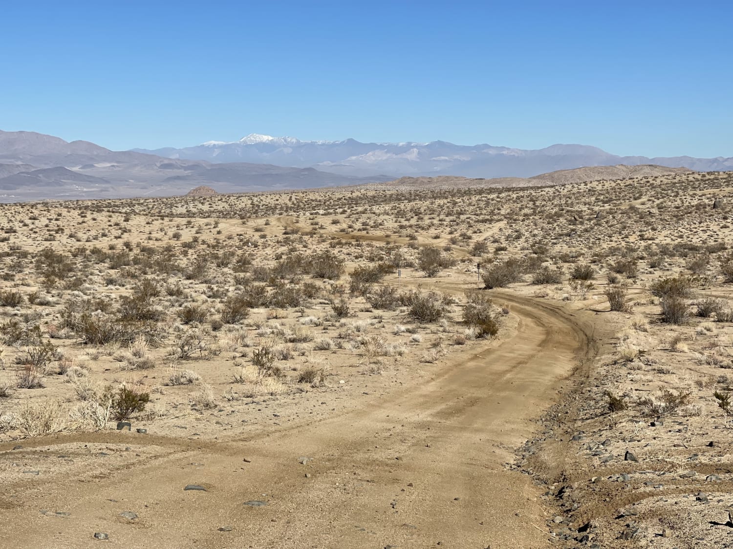
Trail Overview
It's a generally sandy two-track trail with plenty of bermed corners and some deeper washouts. The trail progresses and crosses through some impressive large rocks. Watch for desert tortoises and military planes buzzing the deck VERY LOW. If you are lucky, one of the pilots may wave at you! There are 2 bars 5G cell service. This is Desert Tortious habitat. Please keep an eye out for them.
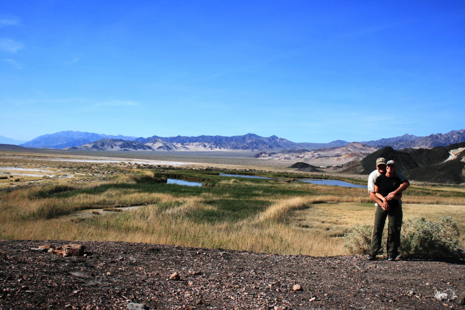
Photos of Lower Murano Road

Difficulty
Some Sandy sections and narrow sections, paint damage may happen from desert bushes.
Status Reports
Lower Murano Road can be accessed by the following ride types:
- High-Clearance 4x4
- SUV
- SxS (60")
- ATV (50")
- Dirt Bike
Lower Murano Road Map
Popular Trails
Saratoga Springs

Boulder Dash
Midway Ridge
Browns Trail - FS 23E285
The onX Offroad Difference
onX Offroad combines trail photos, descriptions, difficulty ratings, width restrictions, seasonality, and more in a user-friendly interface. Available on all devices, with offline access and full compatibility with CarPlay and Android Auto. Discover what you’re missing today!