Pronghorn Trail
Total Miles
3.3
Technical Rating
Best Time
Spring
Trail Type
Full-Width Road
Accessible By
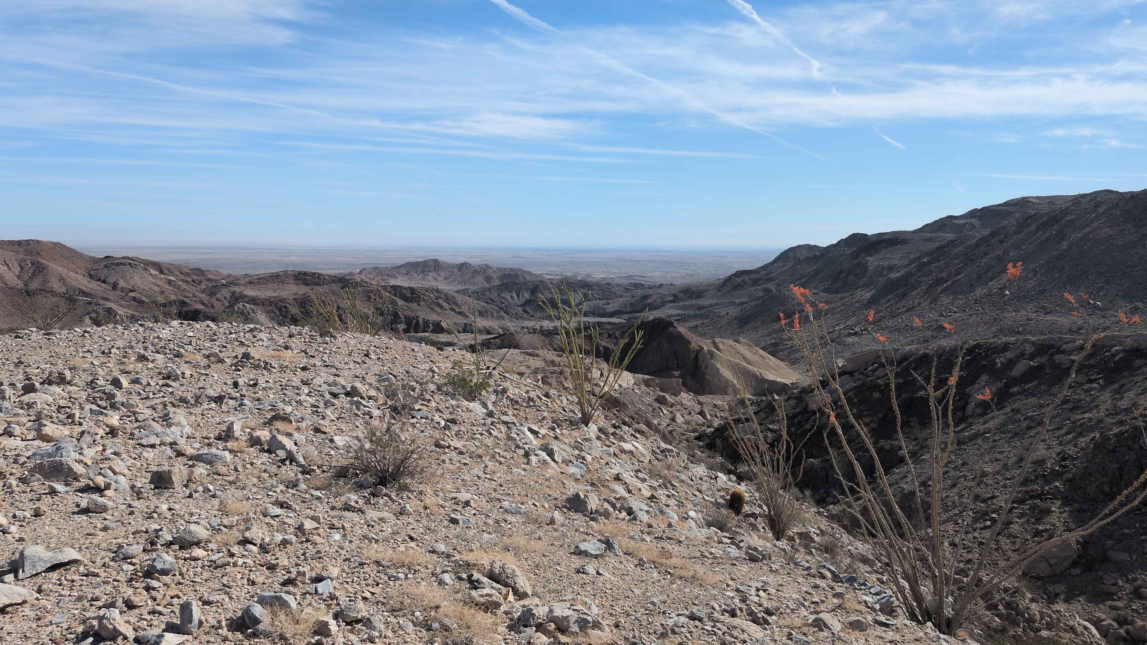
Trail Overview
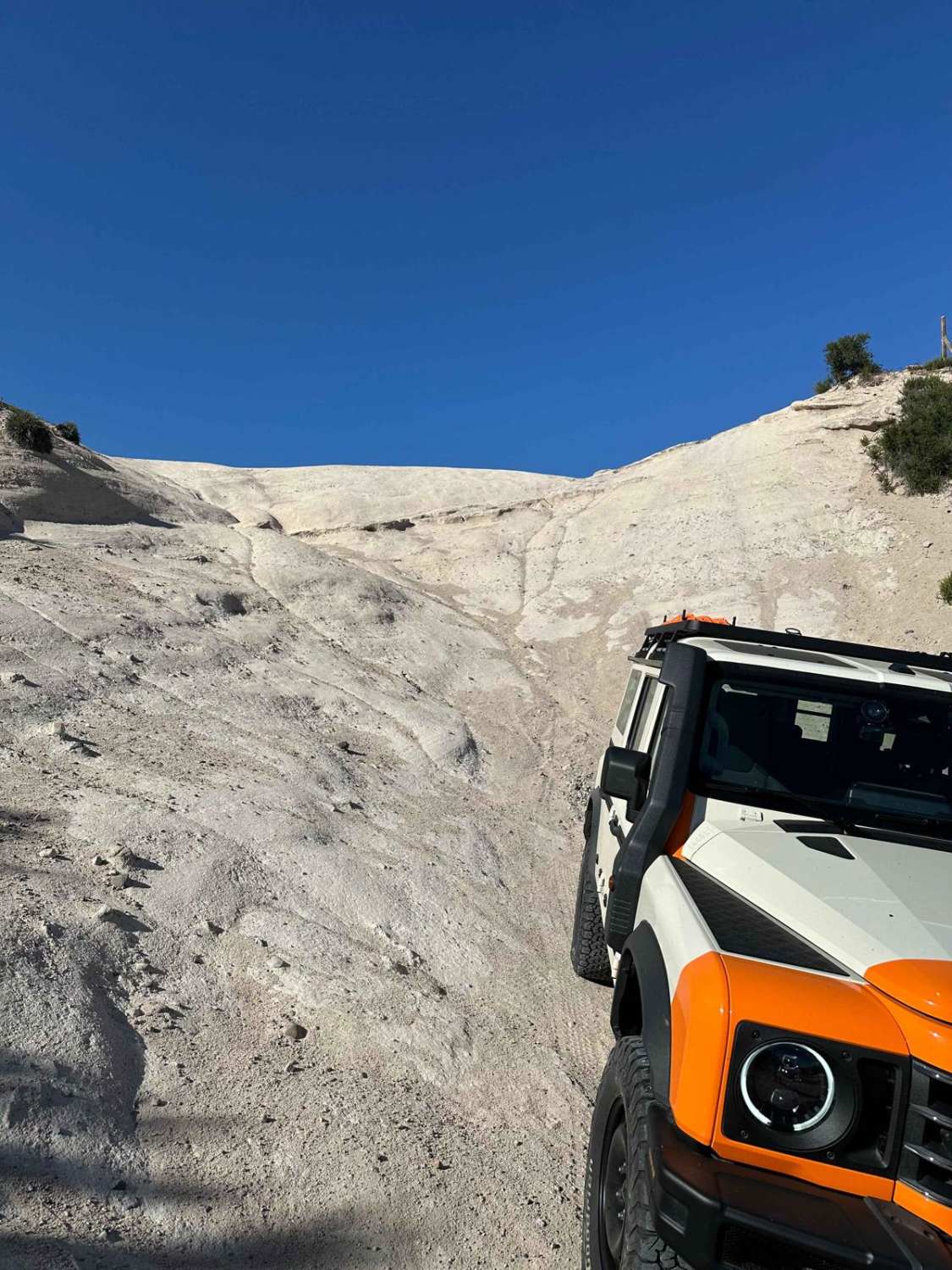
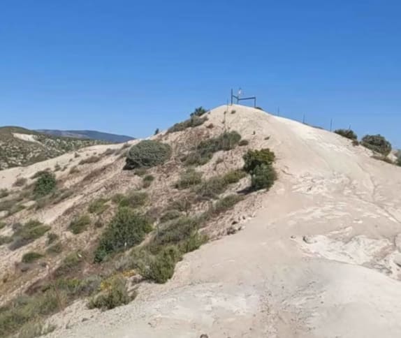
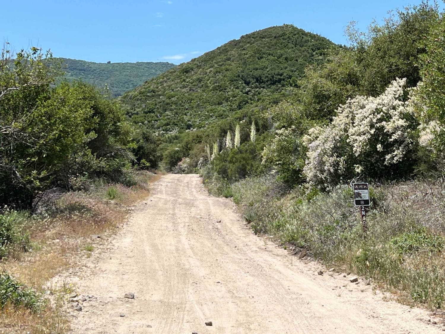
Most of the trail is on the easy side of moderate with a few narrow sections that could scratch larger vehicles. There are a few rocky sections, though it's mostly sandy (muddy if wet) with ruts. One short and steep hill with a narrow ridge at the top is the notable, more difficult feature. If taking the trail in a northerly direction (up the hill), it is easy to turn around at the bottom of the upslope; it's not easy to turn around if going the other way.
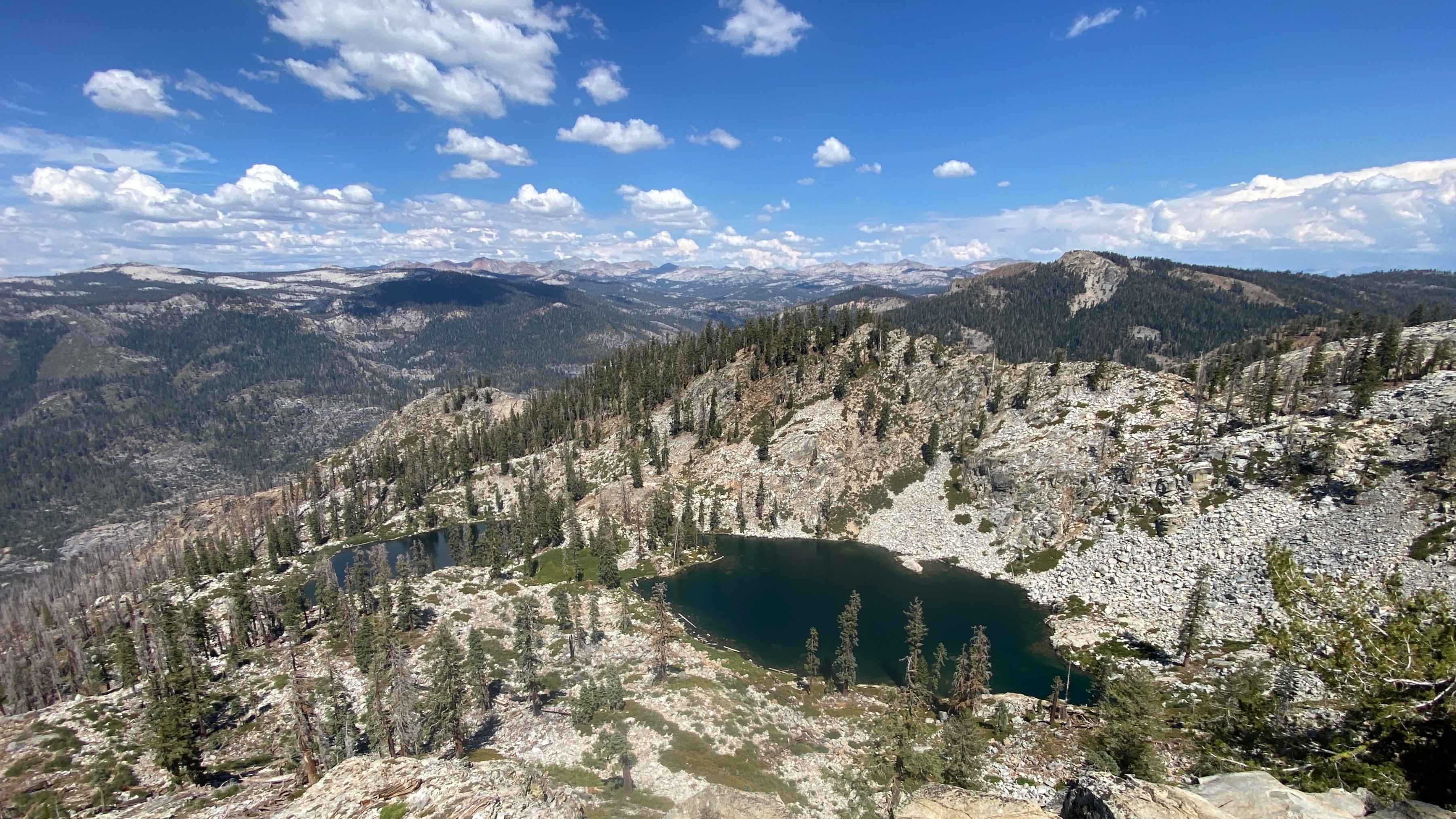
Photos of Pronghorn Trail
Difficulty
One short, steep hill adds to the overall difficulty rating of the trail.
Status Reports
Pronghorn Trail can be accessed by the following ride types:
- High-Clearance 4x4
- SUV
- SxS (60")
- ATV (50")
- Dirt Bike
Pronghorn Trail Map
Popular Trails
Bailey Canyon
Candy Rock Road P.2
The Painted Rock Gorge - BLM 130
Star Lakes - FS 22E203
The onX Offroad Difference
onX Offroad combines trail photos, descriptions, difficulty ratings, width restrictions, seasonality, and more in a user-friendly interface. Available on all devices, with offline access and full compatibility with CarPlay and Android Auto. Discover what you’re missing today!