Candy Rock Road P.2
Total Miles
1.3
Technical Rating
Best Time
Spring, Summer
Trail Type
Full-Width Road
Accessible By
Trail Overview
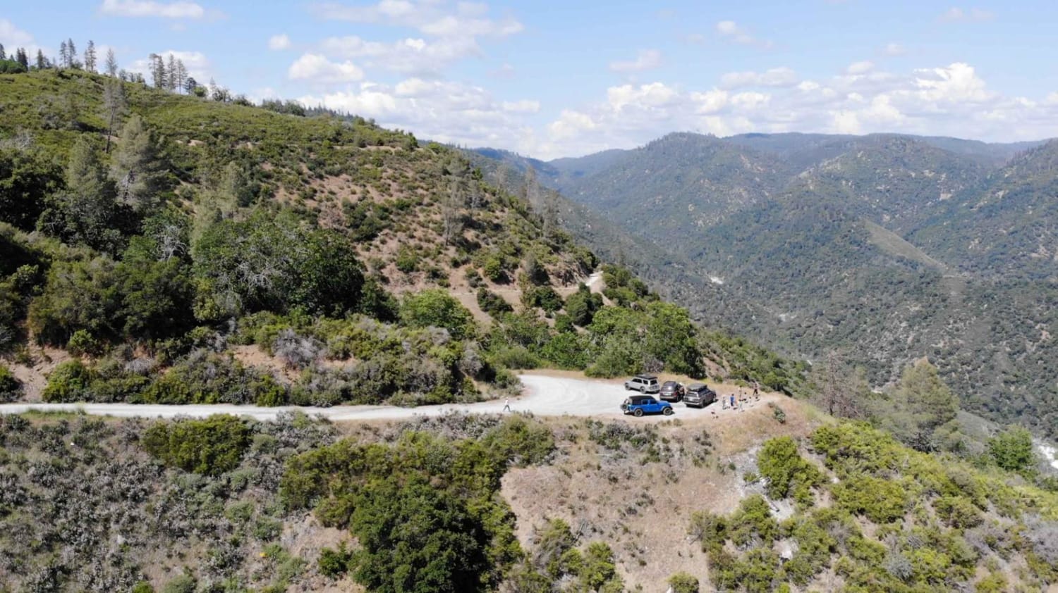
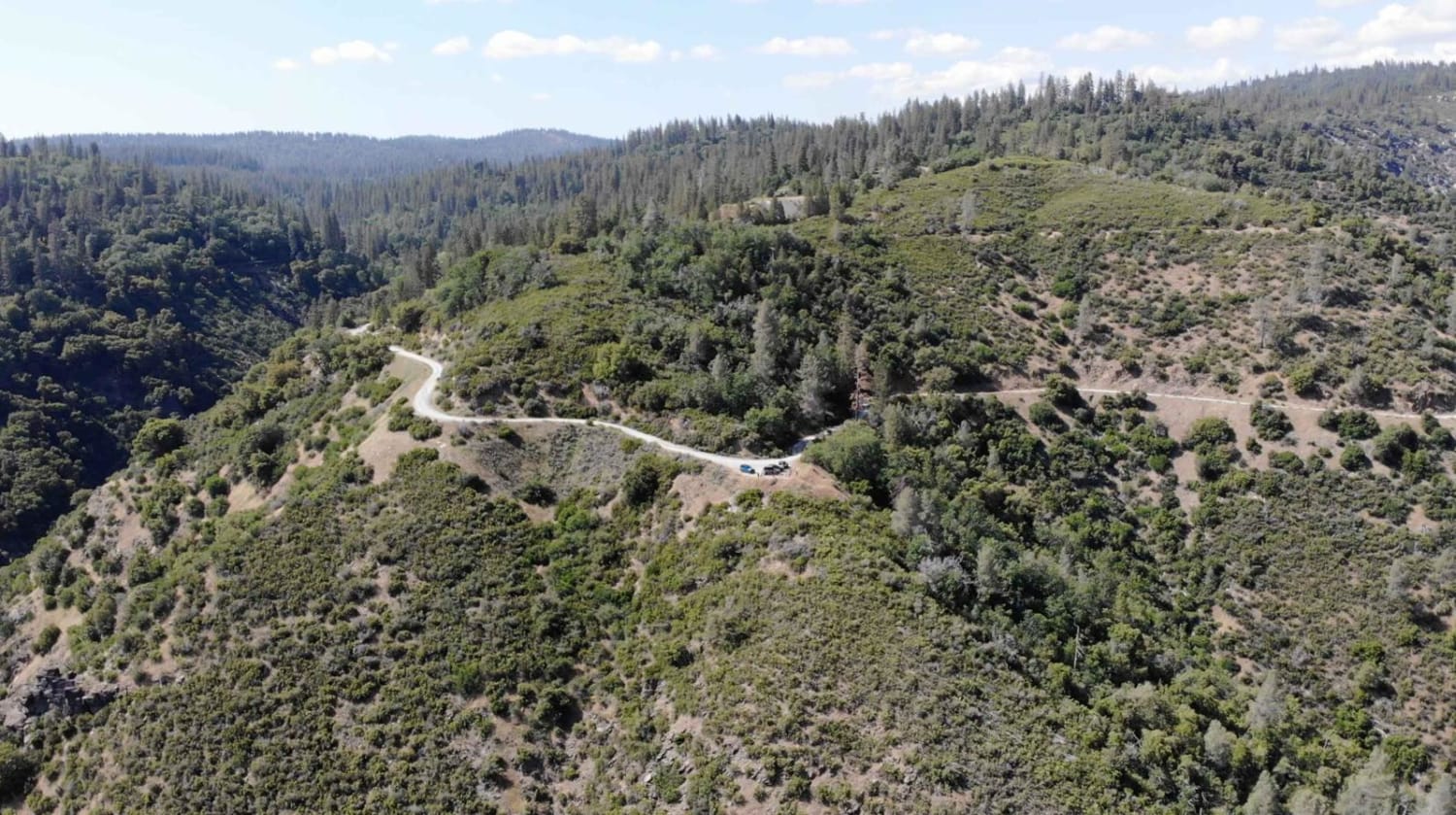
As of May 26, 2023. This road is accessible by vehicles of higher clearance than sedans. This is because the fire roads are not as flat and maintained as Google Maps makes them out to be. When driving on the road, there will be moderately size ruts, and bumps running across the width of the road due to some water erosion. 2wd SUVs as well as higher clearance Subarus can access this trail. The beginning of the trail will be a well-maintained gravel road but it turns into stretches of road littered with moderate-sized ruts and potholes throughout the width of the road. You will be swaying back and forth when going over them. Some sections will be worn down due to use, so expect rough, uneven roads with higher-centered roads. Near the end of this trail will have roads made of baseball-sized rocks. This road will be accessible with 2wd, 4wd is not needed. Driving through this road with a sedan may cause the vehicle to be high-centered, so it is not recommended. Multiple sedans were seen parked in turnout areas. Sections of the road with less gravel will have high dust levels that other vehicles will kick up. When driving through the area, the beginning section will be shaded by tall trees. As you leave the brush, the shade will be sparse as you drive cliffside.
Photos of Candy Rock Road P.2
Difficulty
Flat and even roads will transition to large bumps, ruts, and divots due to water erosion, and moderately sized potholes across the width of the road.
Status Reports
Candy Rock Road P.2 can be accessed by the following ride types:
- High-Clearance 4x4
- SUV
- SxS (60")
- ATV (50")
- Dirt Bike
Candy Rock Road P.2 Map
Popular Trails
Opal Canyon
Sidewinder Road to Picacho Wash

Cross Over Trail

The Back-way to Imperial Gables
The onX Offroad Difference
onX Offroad combines trail photos, descriptions, difficulty ratings, width restrictions, seasonality, and more in a user-friendly interface. Available on all devices, with offline access and full compatibility with CarPlay and Android Auto. Discover what you’re missing today!
