Lower Blythe Olgilby
Total Miles
16.6
Technical Rating
Best Time
Spring, Fall
Trail Type
High-Clearance 4x4 Trail
Accessible By
Trail Overview
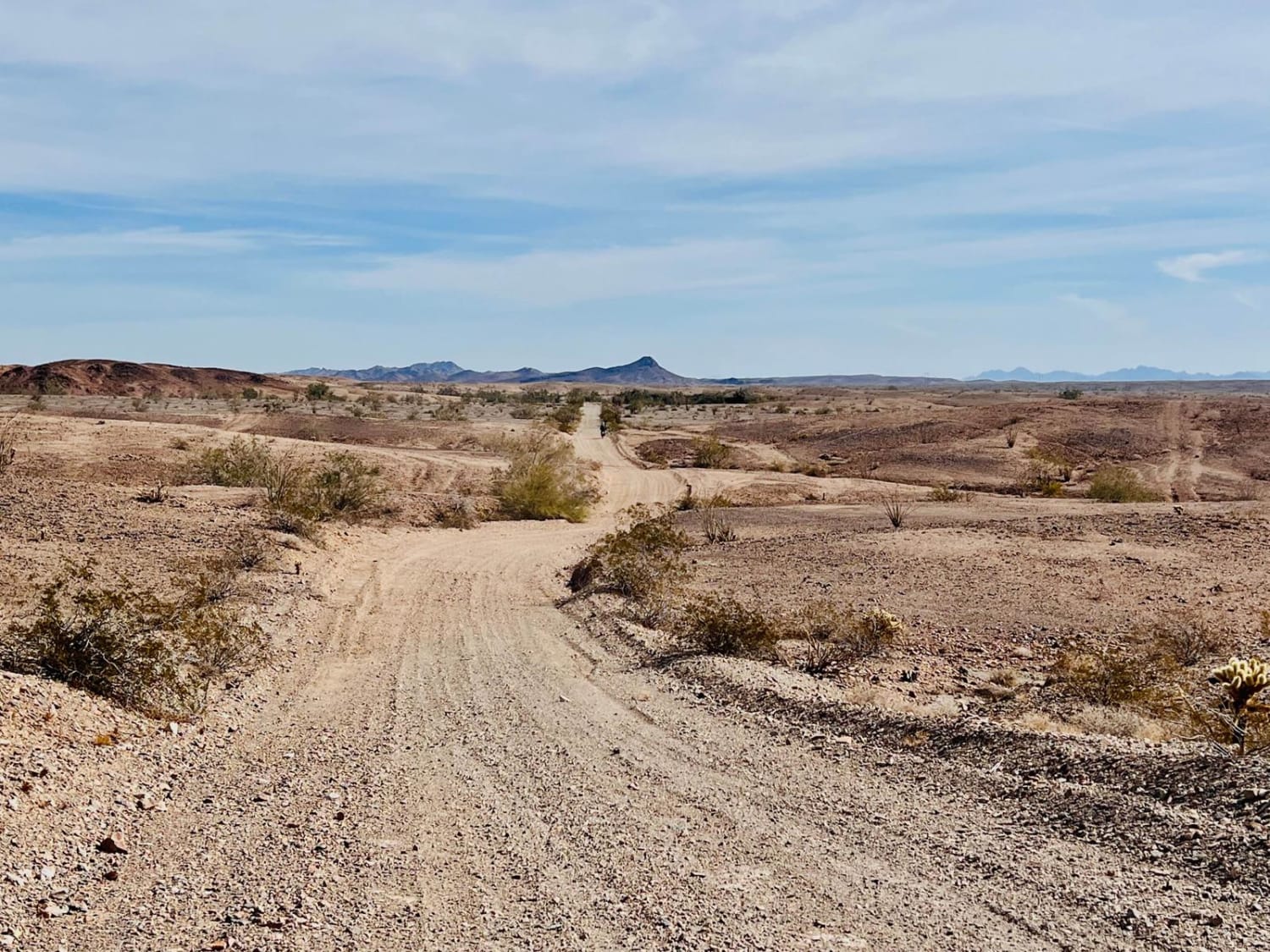
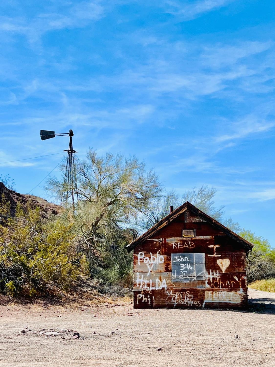
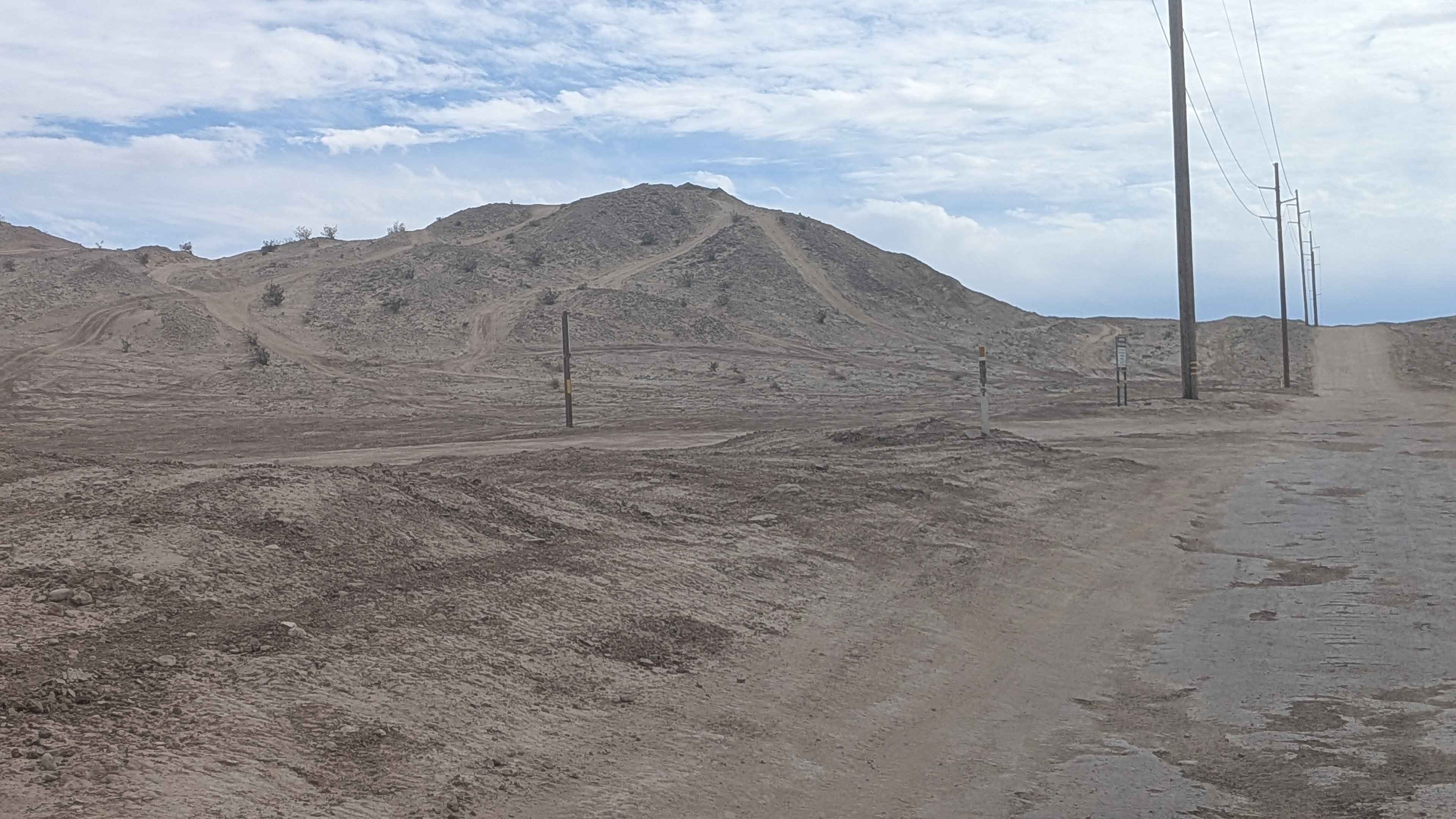
The trail is a combo of wide-graded sections and soft sandy washes. Some sand sections are deeper and longer than others, so airing down is always a good idea. The lower section of the trail cruises quickly along next to Highway 78 from the Milpitas Wash Trail connecting to the southbound trails that head toward Glamis and the surrounding mountains. If open, waive at the Border Patrol officers and slow down for dust as you pass their security checkpoint next to the highway. There is a ton of cool stuff to see along the way, including an old abandoned homestead ranch with a dilapidated structure, a windmill, and footing walls. There is even a killer spot to camp right next to the old building with a huge fire ring. Several BLM cadastral survey markers can be spotted just off the side of the trail. The area has lots of wildlife, including Lizards, birds, and snakes. This area is also home to protected desert tortoises. Don't touch them if you come across one; admire them from afar. They always have the right of way. Three bars of 5G Verizon on the southern end of the trail fade to none in the northern section.
Photos of Lower Blythe Olgilby
Difficulty
This trail has some long sandy washes.
Status Reports
Lower Blythe Olgilby can be accessed by the following ride types:
- High-Clearance 4x4
- SxS (60")
- ATV (50")
- Dirt Bike
Lower Blythe Olgilby Map
Popular Trails
Edison Road (9N01) / Picnic Peak

Snow Drift - FS 8s098
Pole Line Road North
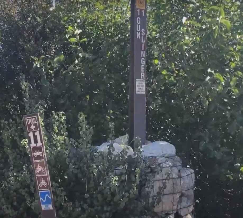
Gunslinger Trail #11
The onX Offroad Difference
onX Offroad combines trail photos, descriptions, difficulty ratings, width restrictions, seasonality, and more in a user-friendly interface. Available on all devices, with offline access and full compatibility with CarPlay and Android Auto. Discover what you’re missing today!