EC 39 Table Mountain
Total Miles
1.0
Technical Rating
Best Time
Spring, Summer, Fall, Winter
Trail Type
Full-Width Road
Accessible By
Trail Overview
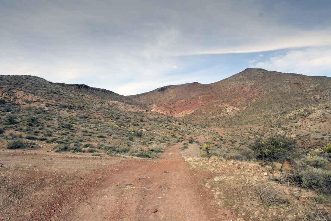
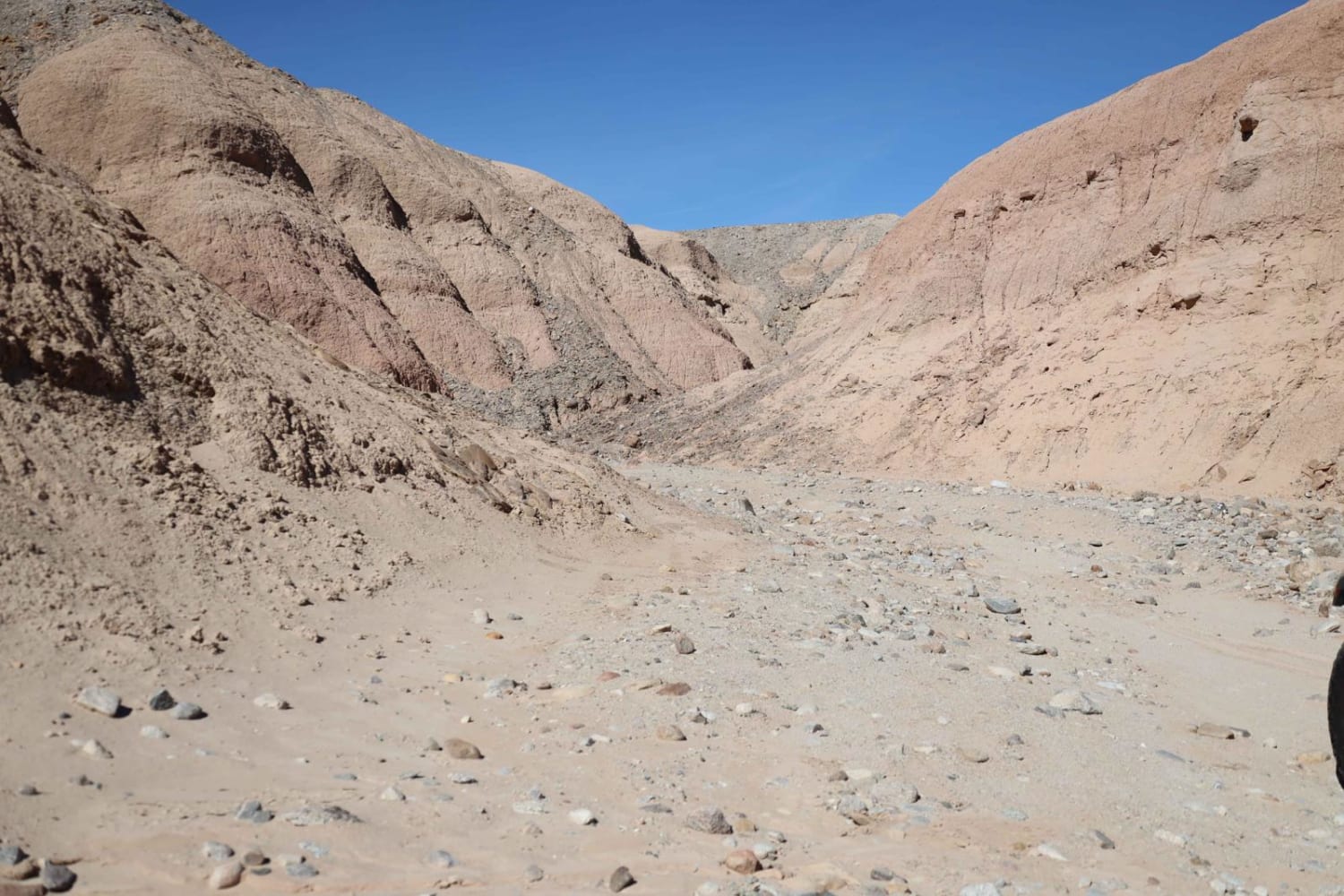
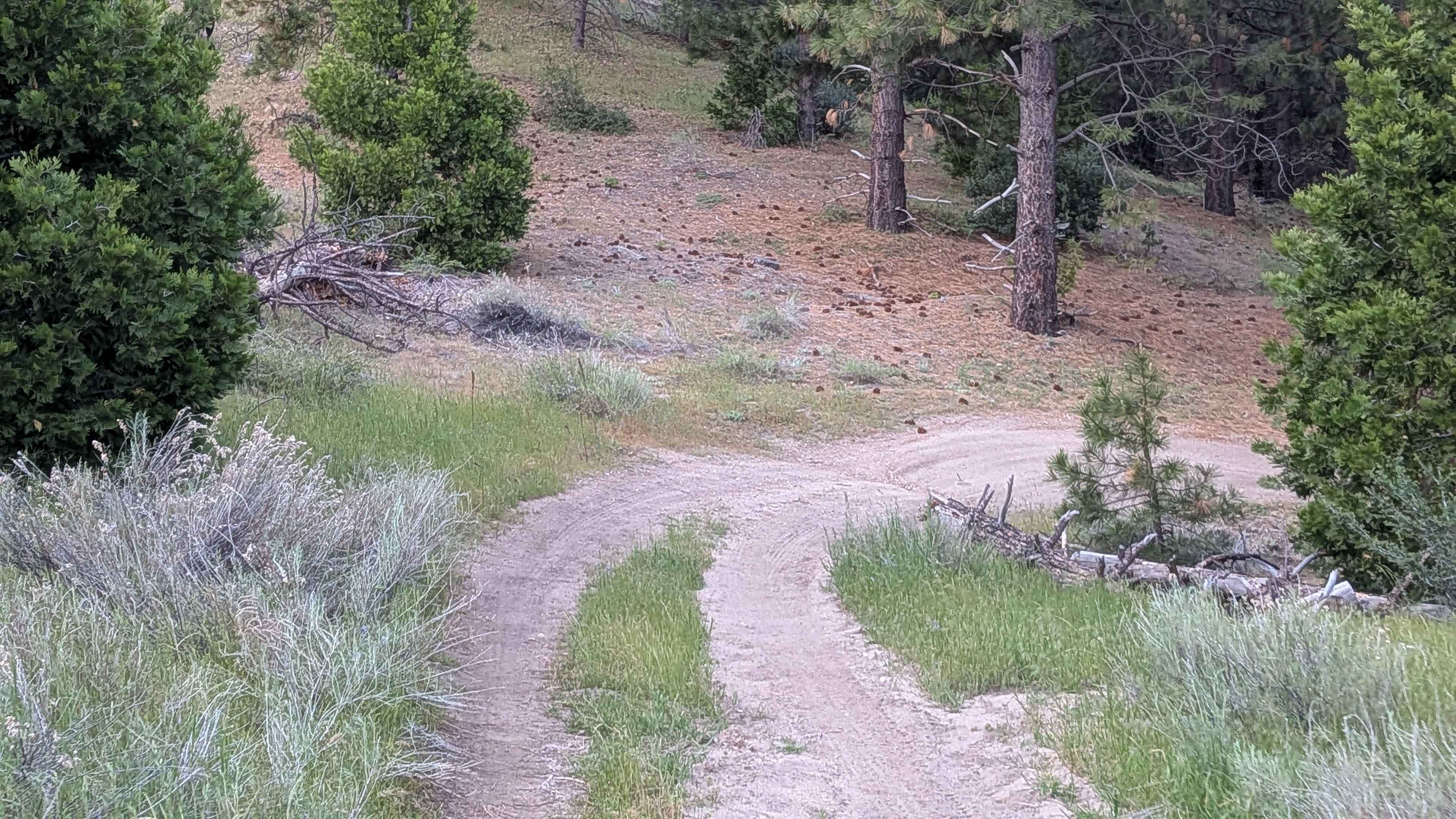
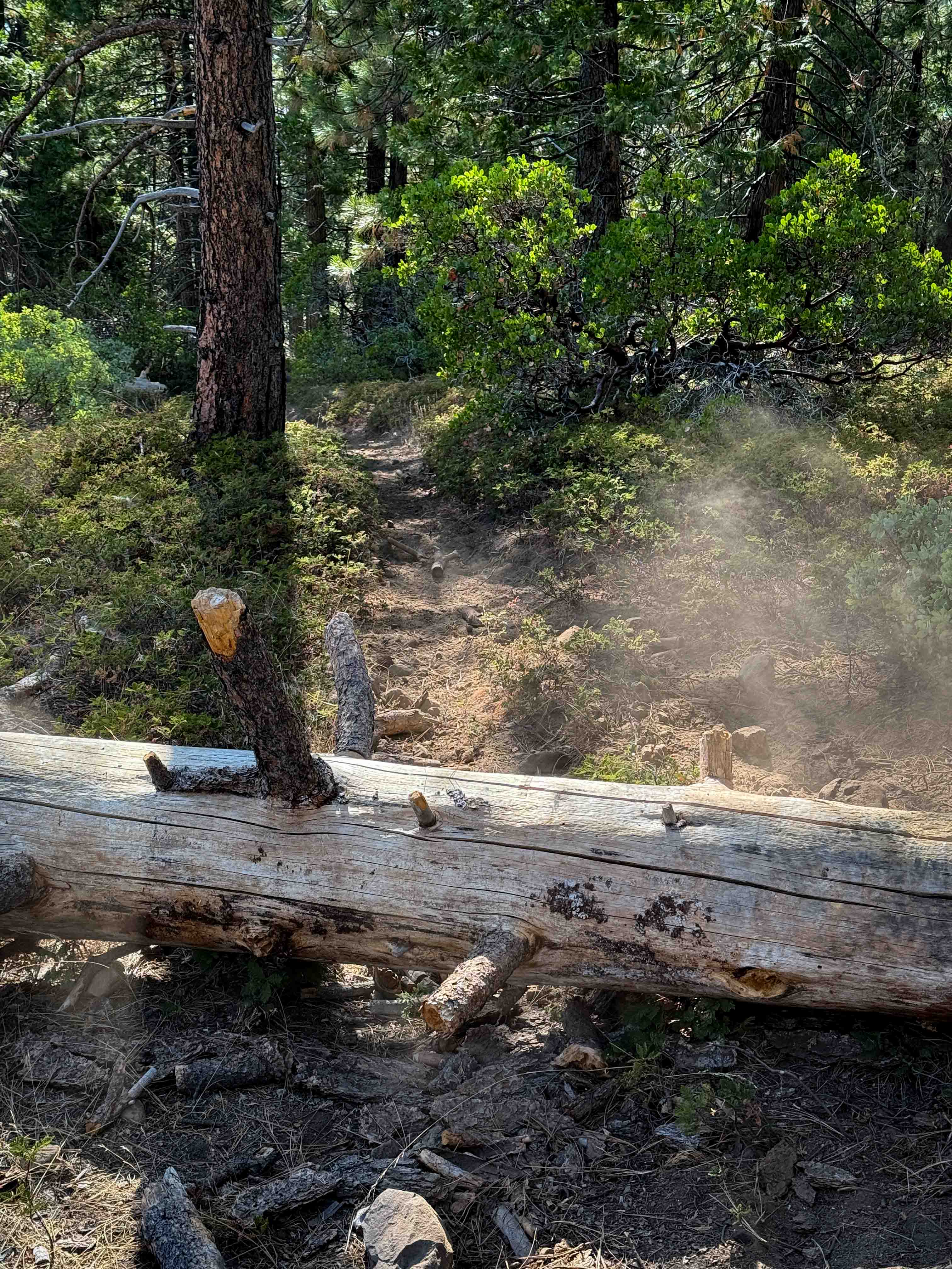
EC 39 Table Mountain is a 1.3-mile point-to-point trail rated 3 of 10 located in San Diego County. EC 39 is the westernmost trail within the Table Mountain area and provides the north/south connection between EC 19 and EC 33. This is a BLM-designated "open" trail and can be used by all vehicles. EC 39 is primarily a sand/dirt track with a few areas of sandy wash and one area of rocky trail. Along the way, you may see several cement troughs or cisterns that were built to provide summer water storage for the wildlife in the area. Table Mountain is the most prominent feature in the area due south of this trail. The land surrounding the BLM-managed area is part of the California Anza-Borrego Desert State Park. Most days, you will be able to observe vehicle activity up on Table Mountain. Although this is BLM land and you may be enticed to find the path up, it is not recommended. The U.S. Customs and Border Patrol has established an observation and monitoring base on the mountaintop and states that the access is restricted. Cell phone service is intermittent during the first couple of miles and then drops off as you get further into the wilderness. The nearest basic service (gas, shopping) is located in Jacumba Hot Springs. Major services are located west in San Diego. There is considerable private property within one mile of Interstate 8; please respect their privacy.
Photos of EC 39 Table Mountain
Difficulty
The trail consists of loose rocks, dirt, and sand with some slick rock surfaces. Mud holes are possible, but there are no steps higher than 12 inches. 4WD may be required, and aggressive tires are a plus.
History
Throughout history, the Kumeyaay Indians, who have inhabited the area perhaps for as long as 2,000 years, had a special reverence for the rocks. In the American period, which began in the 1840s, there was a need for communication between San Diego and points east. At first, it was easy enough for messengers and mule trains to take trails through the rocks of the mountains but, as transportation by stagecoach, wagon, and automobile became an issue, the need for wider roads developed, leading to pathways such as Old Highway 80, State Route 94, and Interstate 8 that circled around the Table Mountain area, leaving it a place of relative peace.
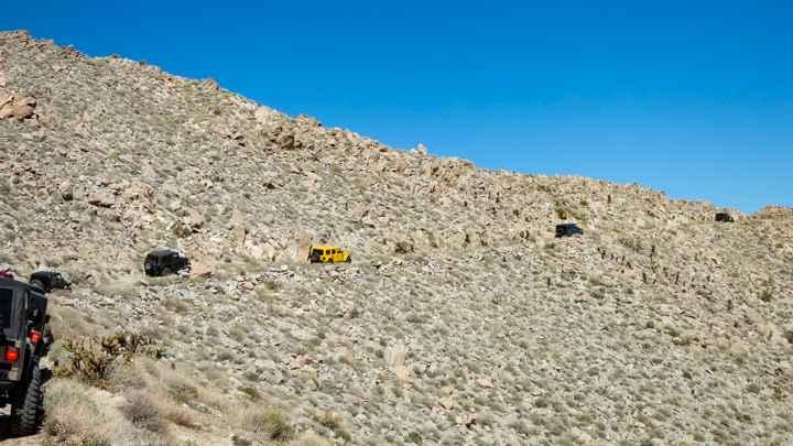
EC 39 Table Mountain can be accessed by the following ride types:
- High-Clearance 4x4
- SUV
- SxS (60")
- ATV (50")
- Dirt Bike
EC 39 Table Mountain Map
Popular Trails
Kayla's Mountain Trail
Bucks Meadow Road
Eagle - FS 27S13
The onX Offroad Difference
onX Offroad combines trail photos, descriptions, difficulty ratings, width restrictions, seasonality, and more in a user-friendly interface. Available on all devices, with offline access and full compatibility with CarPlay and Android Auto. Discover what you’re missing today!