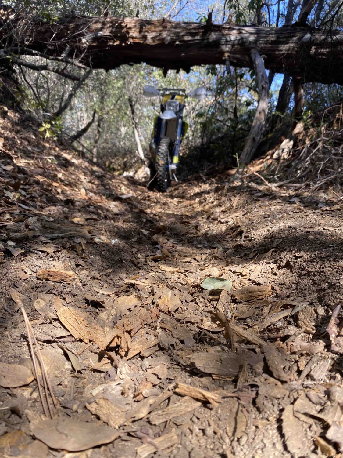
Off-Road Trails in California
Discover off-road trails in California
Learn more about Ditch Road
Ditch Road
Total Miles
1.8
Tech Rating
Easy
Best Time
Spring, Summer, Fall, Winter
Learn more about Dobie Canyon Run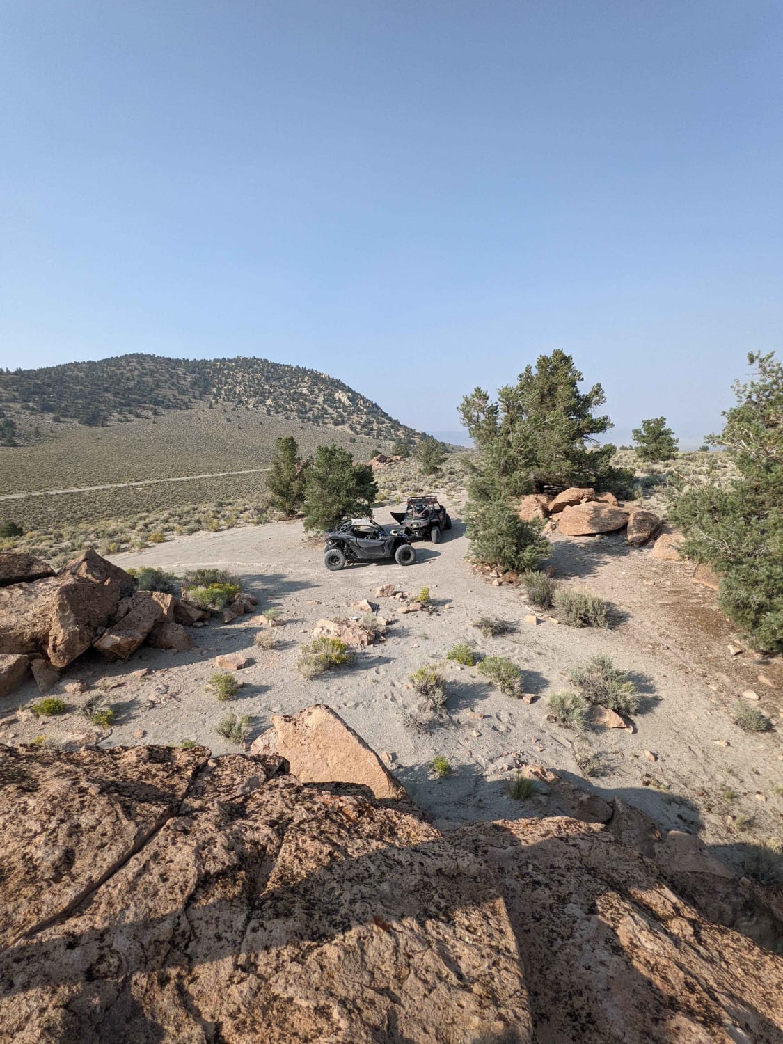
Dobie Canyon Run
Total Miles
36.8
Tech Rating
Easy
Best Time
Spring, Summer, Fall
Learn more about Dobie Meadows Road North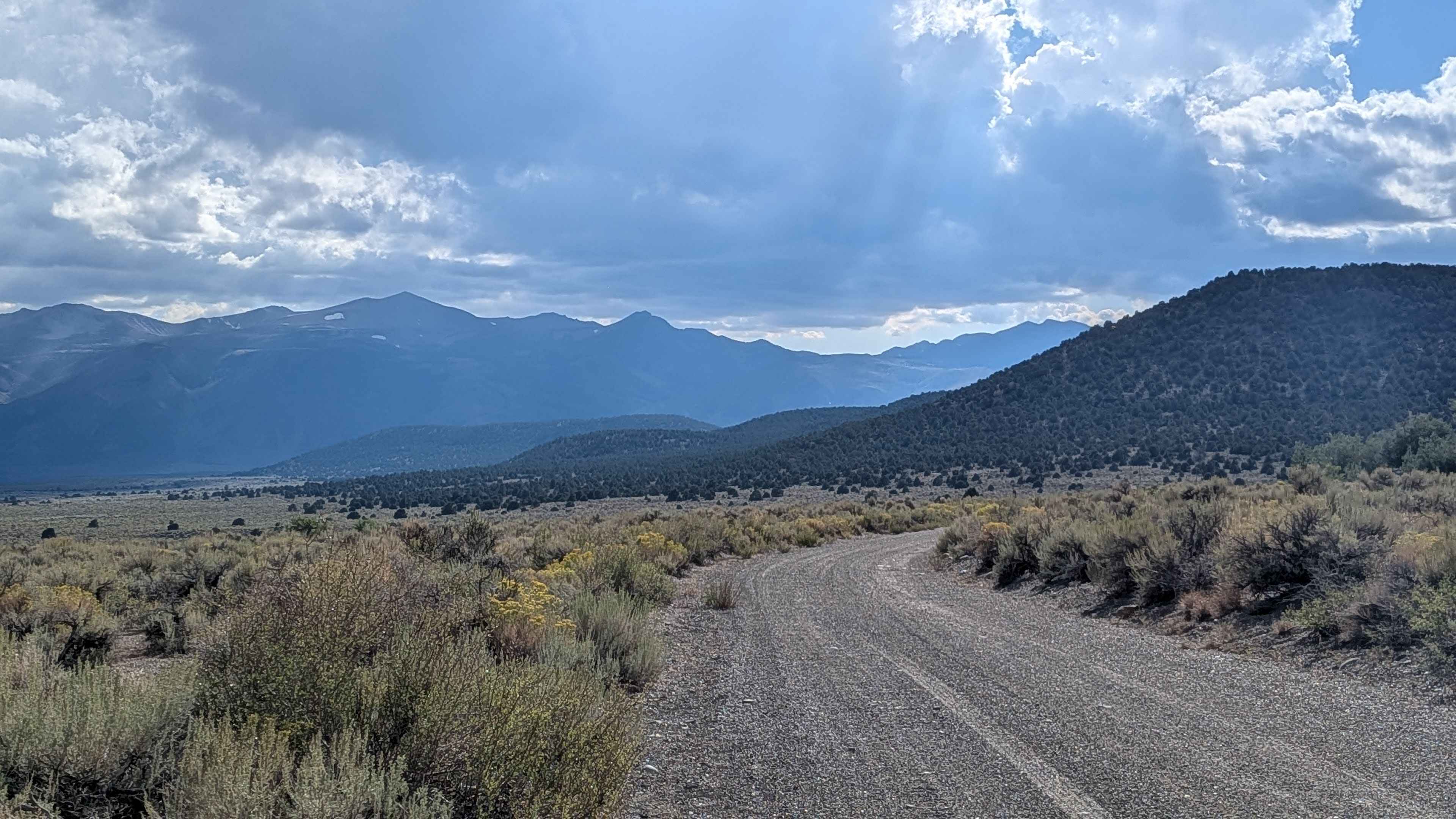
Dobie Meadows Road North
Total Miles
10.8
Tech Rating
Easy
Best Time
Summer, Fall, Spring
Learn more about Dobler Meadow - FS 4S031
Dobler Meadow - FS 4S031
Total Miles
2.9
Tech Rating
Easy
Best Time
Spring, Summer, Fall
Learn more about Don't Miss the Train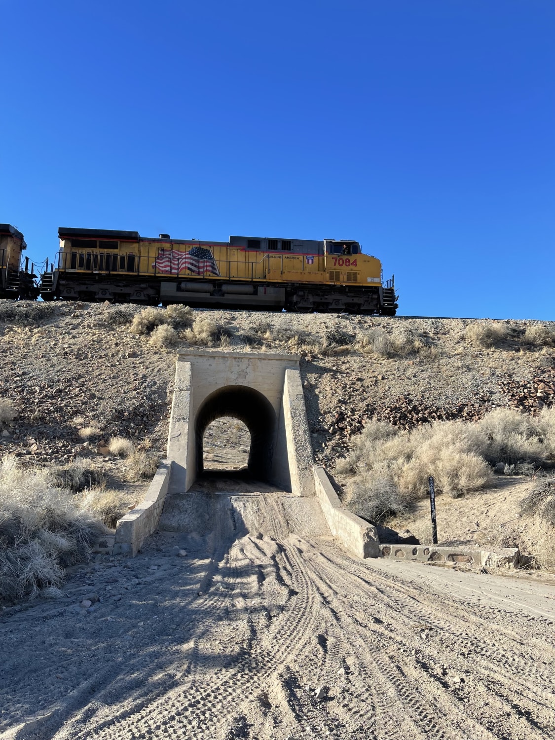
Don't Miss the Train
Total Miles
3.8
Tech Rating
Moderate
Best Time
Winter, Fall, Spring
Learn more about Donohoe Loop-Mocogo Ranch Trail
Donohoe Loop-Mocogo Ranch Trail
Total Miles
8.3
Tech Rating
Moderate
Best Time
Spring, Summer, Winter, Fall
Learn more about Dooley Creek to Black Mountain Lookout
Dooley Creek to Black Mountain Lookout
Total Miles
1.8
Tech Rating
Easy
Best Time
Spring, Summer, Fall
Learn more about Doran Canyon - BLM CM7631
Doran Canyon - BLM CM7631
Total Miles
3.3
Tech Rating
Difficult
Best Time
Spring, Summer, Fall, Winter
Learn more about Dori's Downhill
Dori's Downhill
Total Miles
0.1
Tech Rating
Difficult
Best Time
Spring, Summer, Fall, Winter
Learn more about Dos Cabeza East - BLM 150
Dos Cabeza East - BLM 150
Total Miles
3.5
Tech Rating
Easy
Best Time
Winter, Fall, Spring
Learn more about Dos Cabezos Road
Dos Cabezos Road
Total Miles
6.3
Tech Rating
Easy
Best Time
Spring, Fall, Winter
Learn more about Dos Cabezos Upper Siding
Dos Cabezos Upper Siding
Total Miles
2.2
Tech Rating
Easy
Best Time
Spring, Fall, Winter
Learn more about Dougies Dip
Dougies Dip
Total Miles
0.1
Tech Rating
Difficult
Best Time
Spring, Summer, Fall, Winter
Learn more about Dove Springs Access Trail
Dove Springs Access Trail
Total Miles
5.8
Tech Rating
Easy
Best Time
Spring, Fall, Winter
ATV trails in California


UTV/side-by-side trails in California


Learn more about 3N267 Fenner Saddle (4N12)
3N267 Fenner Saddle (4N12)
Total Miles
3.8
Tech Rating
Difficult
Best Time
Spring, Summer, Fall, Winter

The onX Offroad Difference
onX Offroad combines trail photos, descriptions, difficulty ratings, width restrictions, seasonality, and more in a user-friendly interface. Available on all devices, with offline access and full compatibility with CarPlay and Android Auto. Discover what you’re missing today!