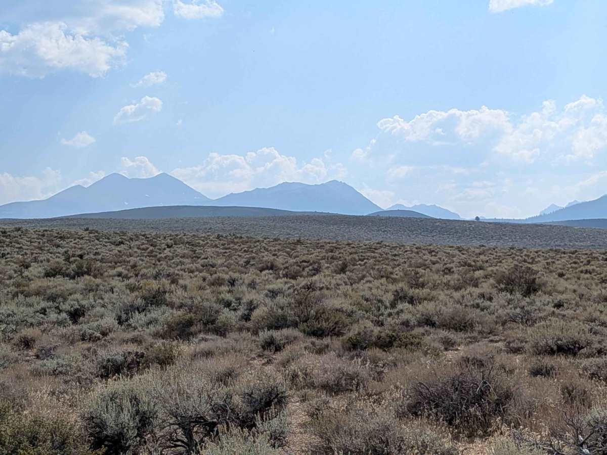
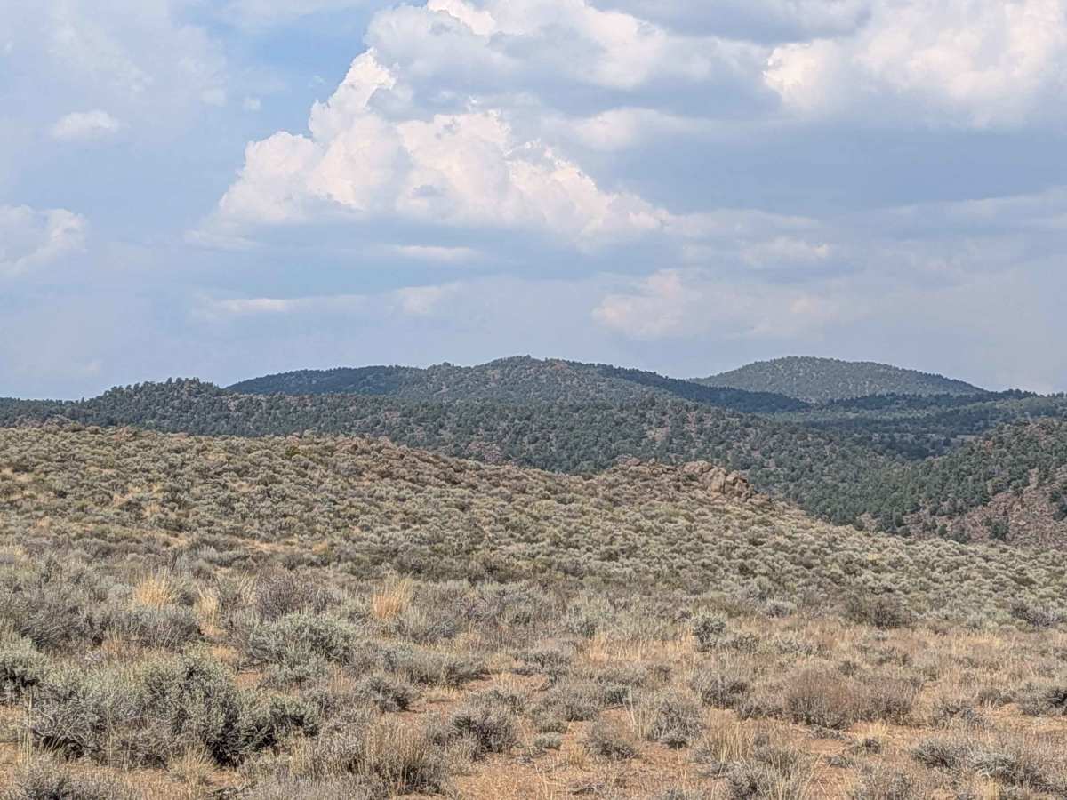
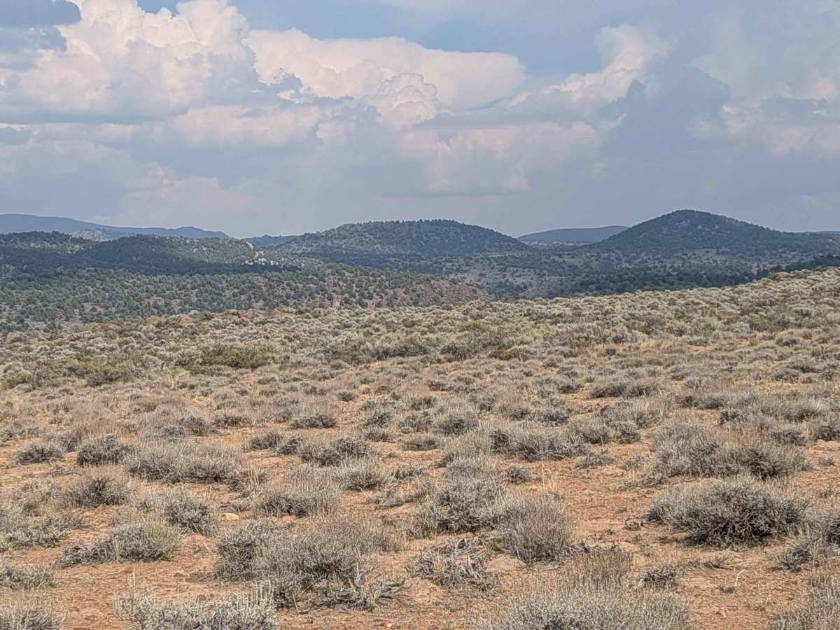
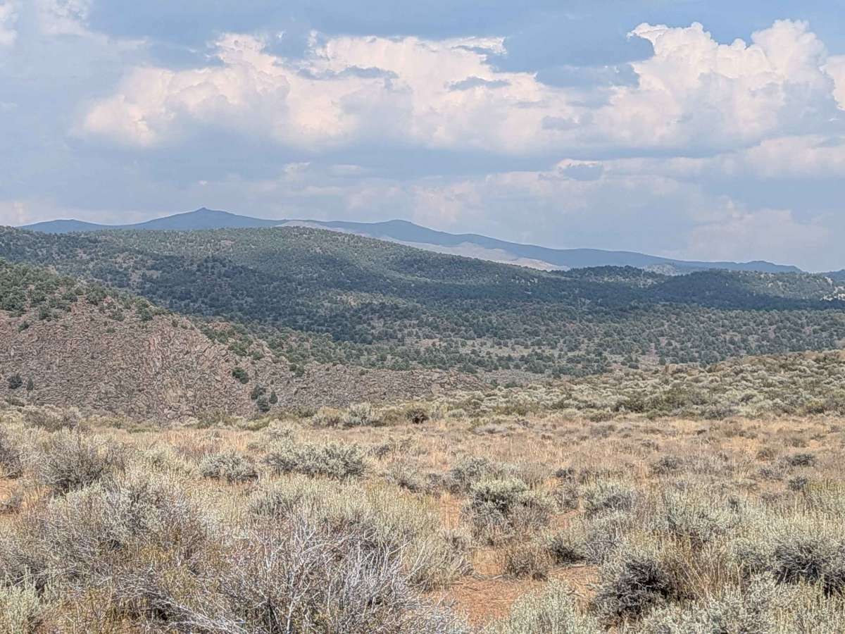
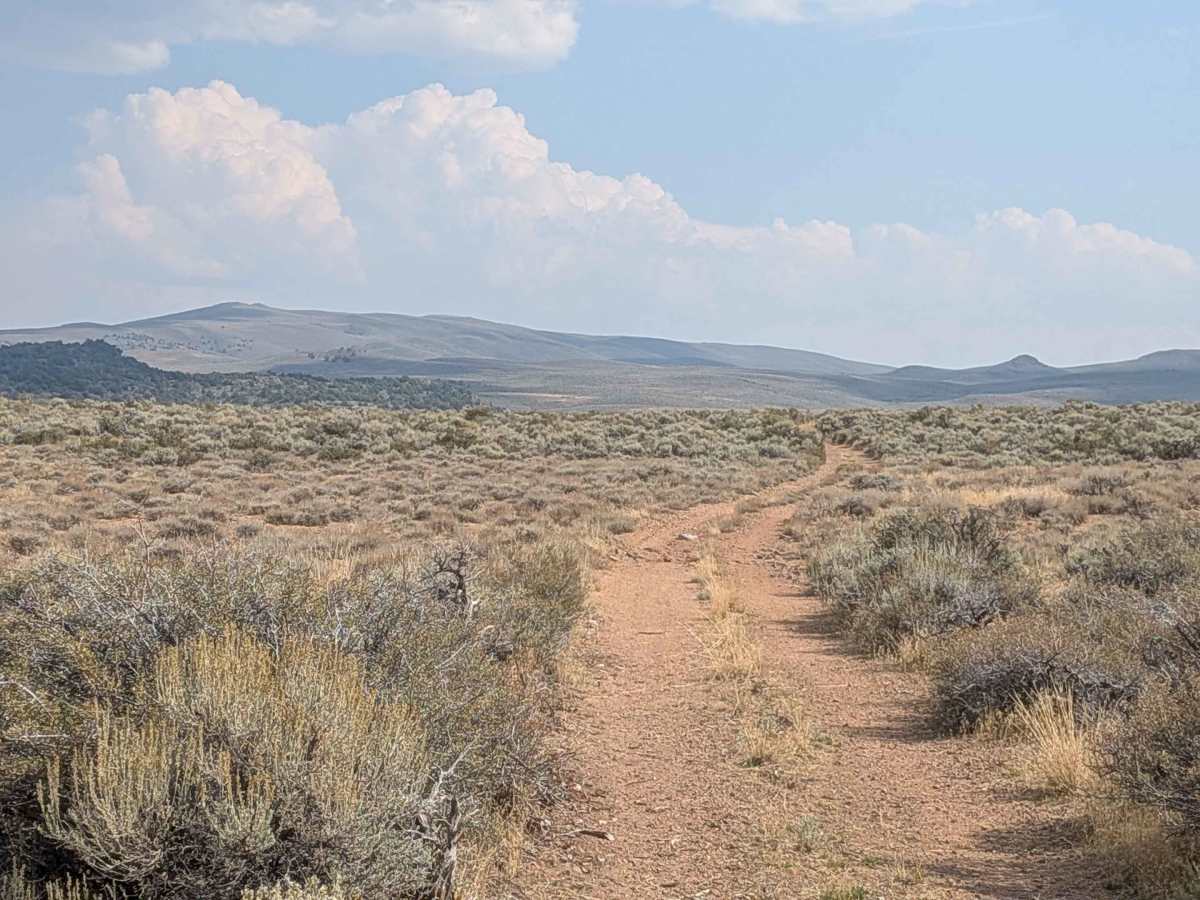
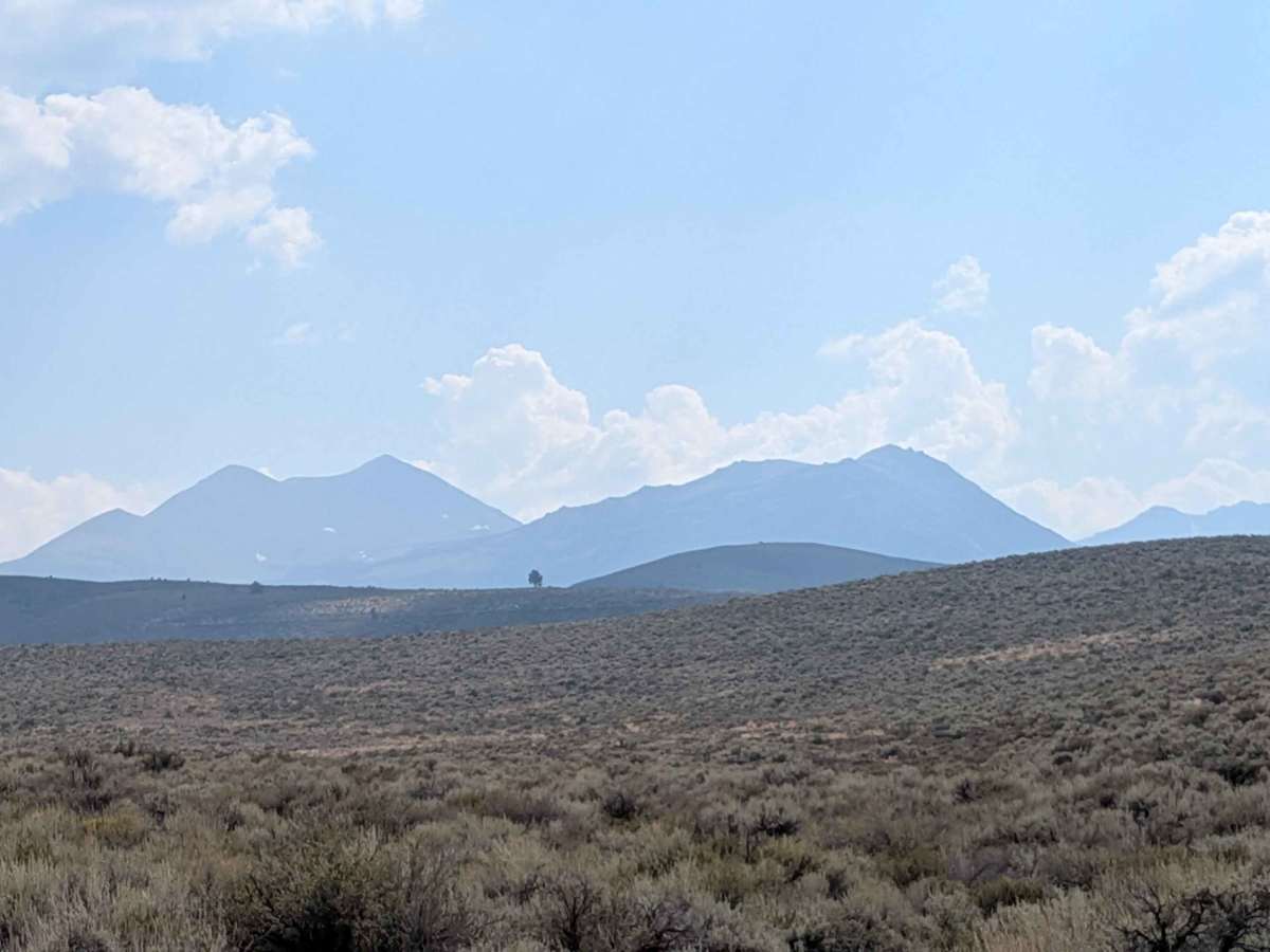
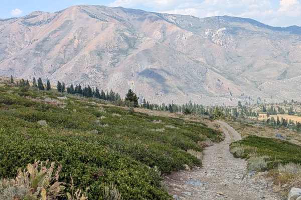
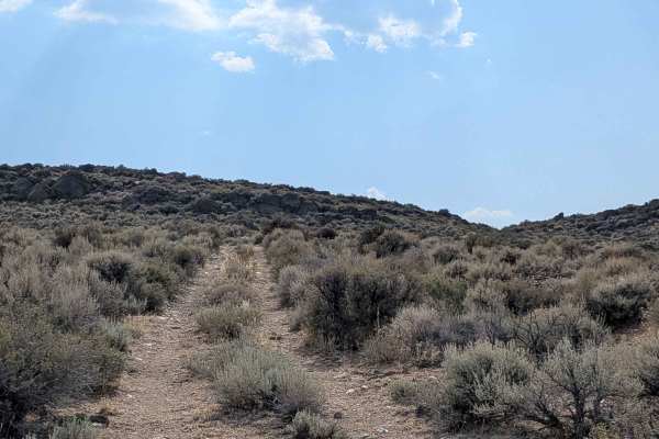
Trail Overview
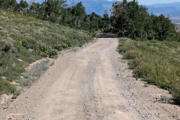
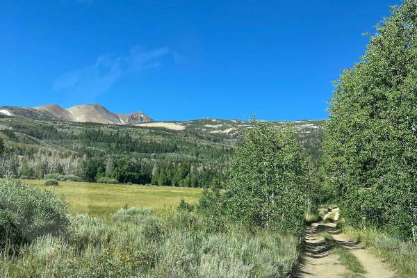
Scenic Eastern Sierra route beginning 1.4 miles off Highway 395 via Dunderberg Mill Road. The trail features a packed sand and dirt surface with embedded rocks throughout. It traverses varied terrain, including dry wash crossings, off-camber sections, and interesting rock formations with excellent mountain views. Several dispersed camping spots are available along the trail. The trail includes a notable steep downhill section with loose rocks (baseball to softball-sized) on a shelf road, and there are two water crossings near Highway 395 end (under 12 inches deep as of early September, varies seasonally).
Difficulty
This trail requires confident vehicle control and experience with technical terrain. Expect multiple off-camber sections that demand careful line choice, a steep rocky descent with loose baseball- to softball-sized rocks on a shelf road, and surface conditions that shift from packed dirt to embedded rock. There are also dry wash crossings that may contain soft sand and small seasonal water crossings near Highway 395. Limited room for error exists on the shelf road, making it best suited for experienced drivers and riders comfortable with rocky terrain and steep grades. High-clearance four-wheel drive is highly recommended, as the route is not suitable for beginners or stock two-wheel drive vehicles.
History
Dogtown, a significant early gold mining settlement in Mono County, California, was named by prospectors in 1859 and quickly grew to over 100 inhabitants. Situated along Dog Creek, its name likely came from a miners' term for "dog town" (a camp with simple dwellings) or, possibly, a large number of stray dogs. After the discovery of richer deposits nearby, the population migrated to Monoville, leading to Dogtown's abandonment as a primary mining camp, though its ruins can still be visited today.