Dogtown Spur B
Total Miles
2.0
Technical Rating
Best Time
Fall, Summer
Trail Type
Full-Width Road
Accessible By
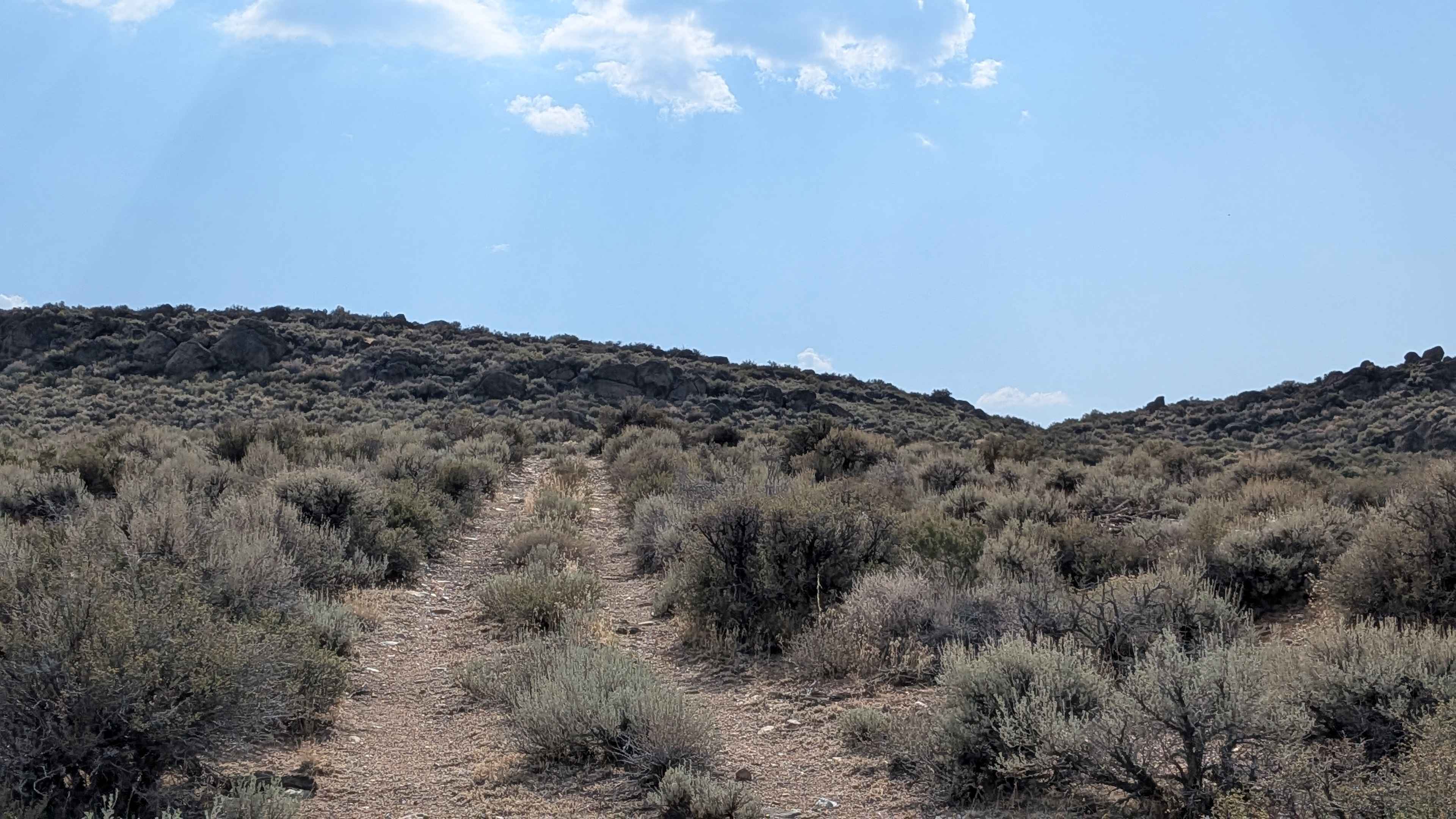
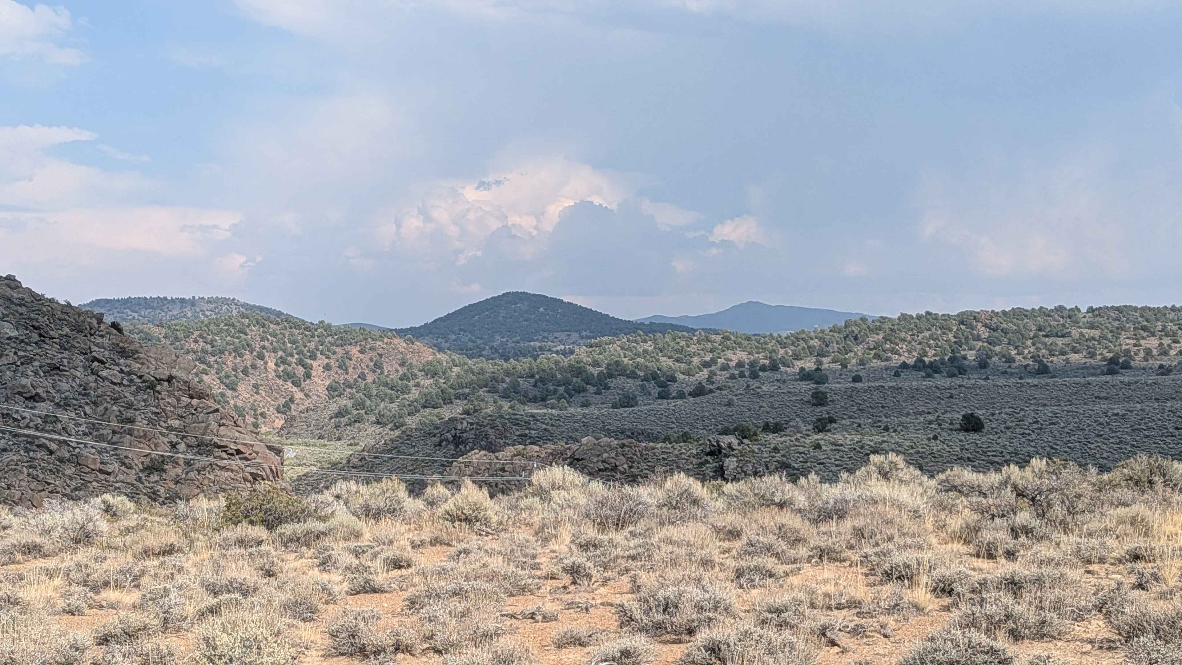
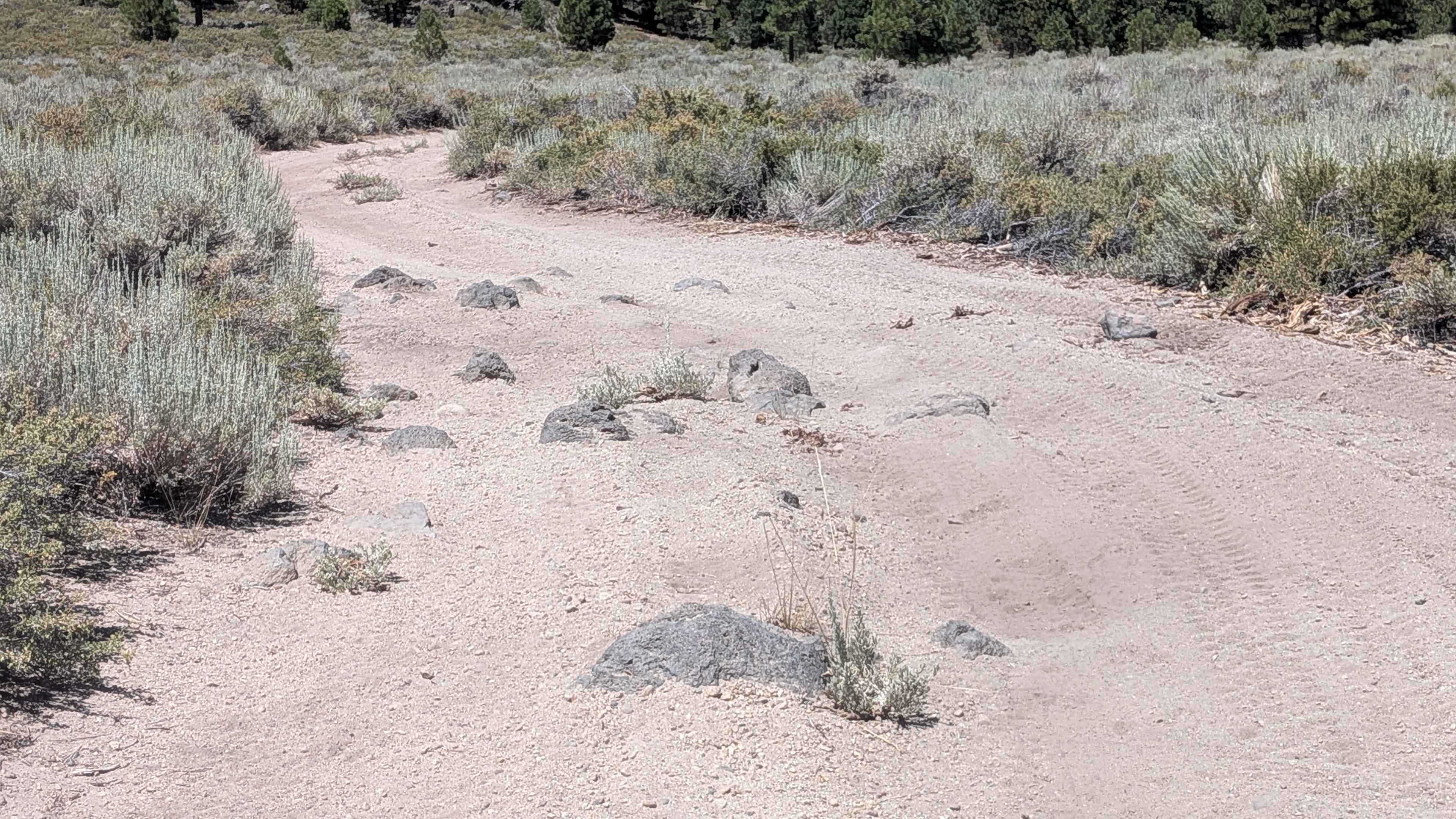
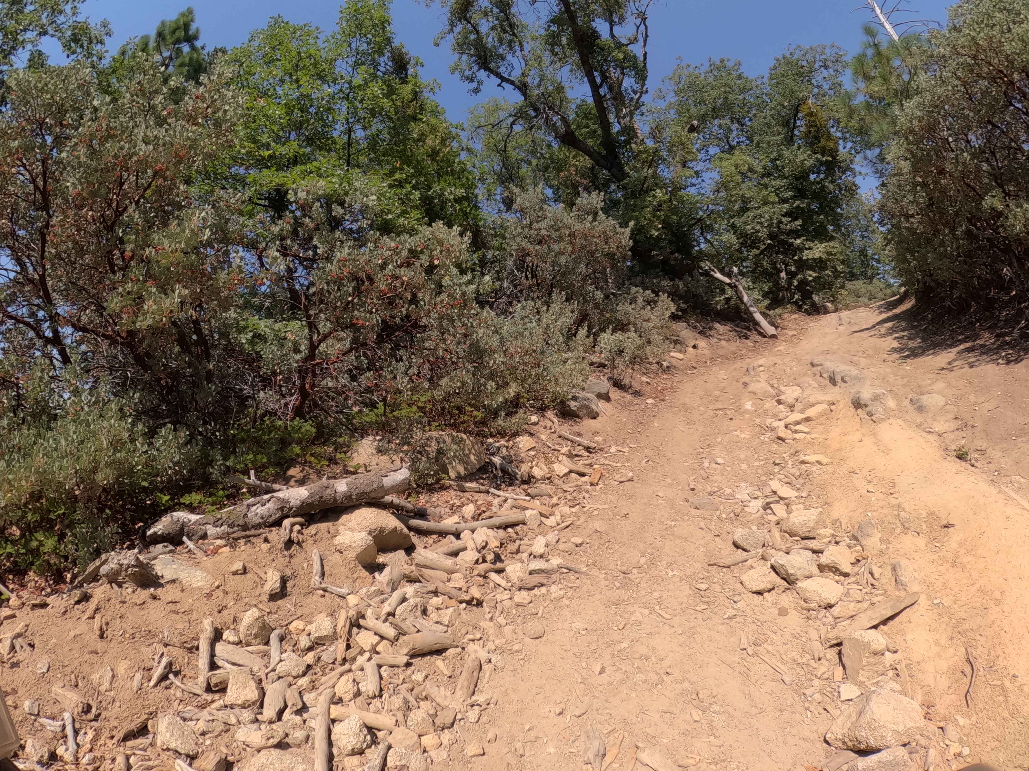
Trail Overview
This rugged trail climbs nearly 300 feet and then drops back down in under 2 miles. The track is very narrow, with a mix of packed sand and embedded rocks. It begins as a slight shelf road running alongside a river, parallel to Highway 395, before turning away from the highway and climbing into the hills. At about 0.8 miles from the 395 side, you'll encounter the most challenging section: a pair of rock obstacles with shelves over 18 inches deep and a soft edge next to them. Correct rock stacking, good line choice, and a high-clearance 4x4 are required to get through. Lockers or other traction aids are very helpful here. The trail continues as a narrow shelf road in spots, eventually leading near the historic Dunderberg Mill Road.
Photos of Dogtown Spur B
Difficulty
Most of the route falls around a moderate Rating 2, but the rocky shelf obstacle pushes the overall trail difficulty higher. Drivers should expect technical maneuvering, possible vehicle contact, and the need for careful spotting. Not recommended for stock vehicles.
History
Dogtown, a significant early gold mining settlement in Mono County, California, was named by prospectors in 1859 and quickly grew to over 100 inhabitants. Situated along Dog Creek, its name likely came from a miners' term for "dog town" (a camp with simple dwellings) or, possibly, a large number of stray dogs. After the discovery of richer deposits nearby, the population migrated to Monoville, leading to Dogtown's abandonment as a primary mining camp, though its ruins can still be visited today.
Status Reports
Dogtown Spur B can be accessed by the following ride types:
- High-Clearance 4x4
- SUV
- SxS (60")
- ATV (50")
- Dirt Bike
Dogtown Spur B Map
Popular Trails

Red Rock InyoKern North
Tijuana Camp - FS 5S041

Lower Acorn Grotto
The onX Offroad Difference
onX Offroad combines trail photos, descriptions, difficulty ratings, width restrictions, seasonality, and more in a user-friendly interface. Available on all devices, with offline access and full compatibility with CarPlay and Android Auto. Discover what you’re missing today!