FS 4S101A
Total Miles
1.1
Technical Rating
Best Time
Summer, Spring, Fall
Trail Type
Full-Width Road
Accessible By
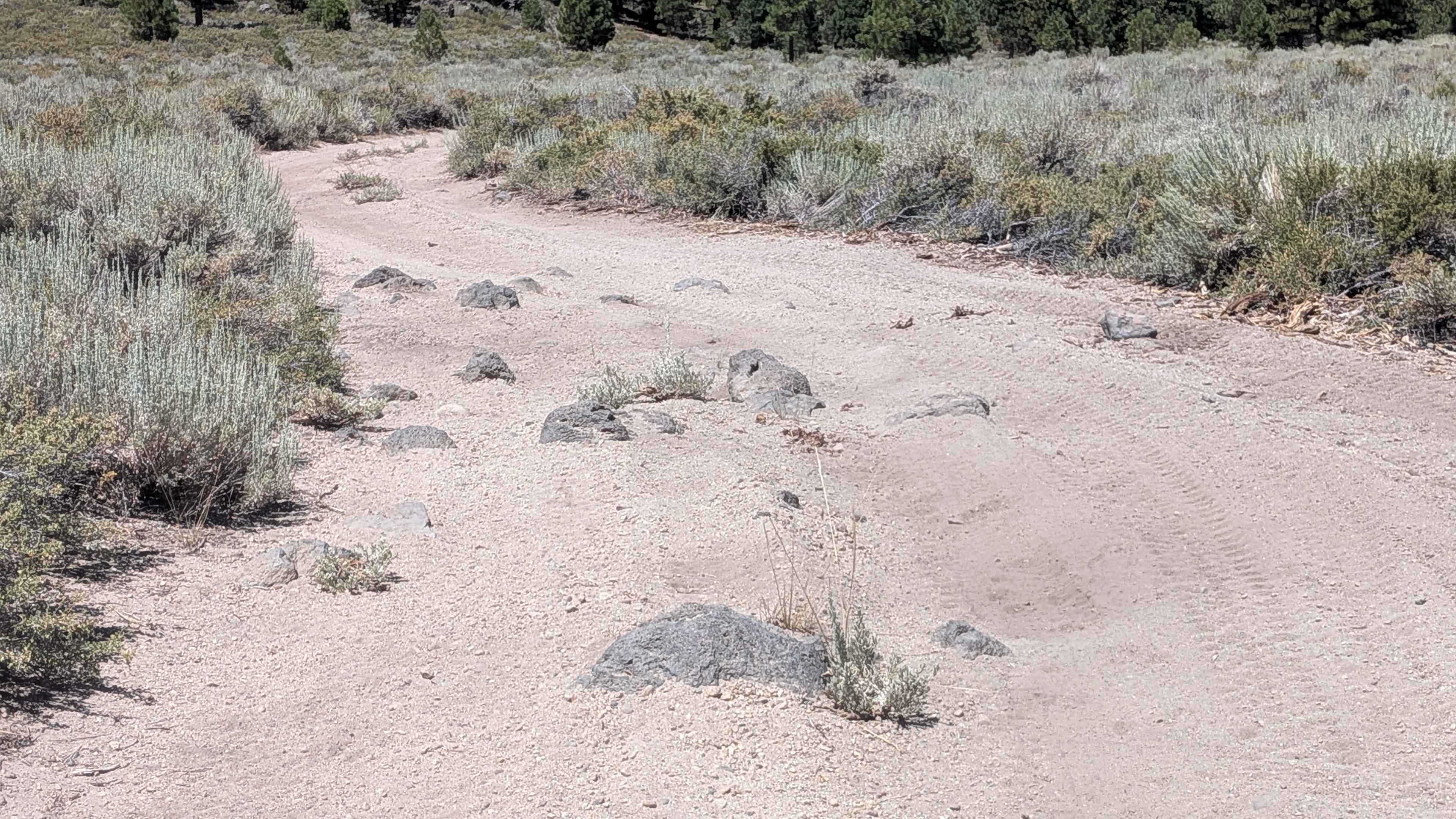
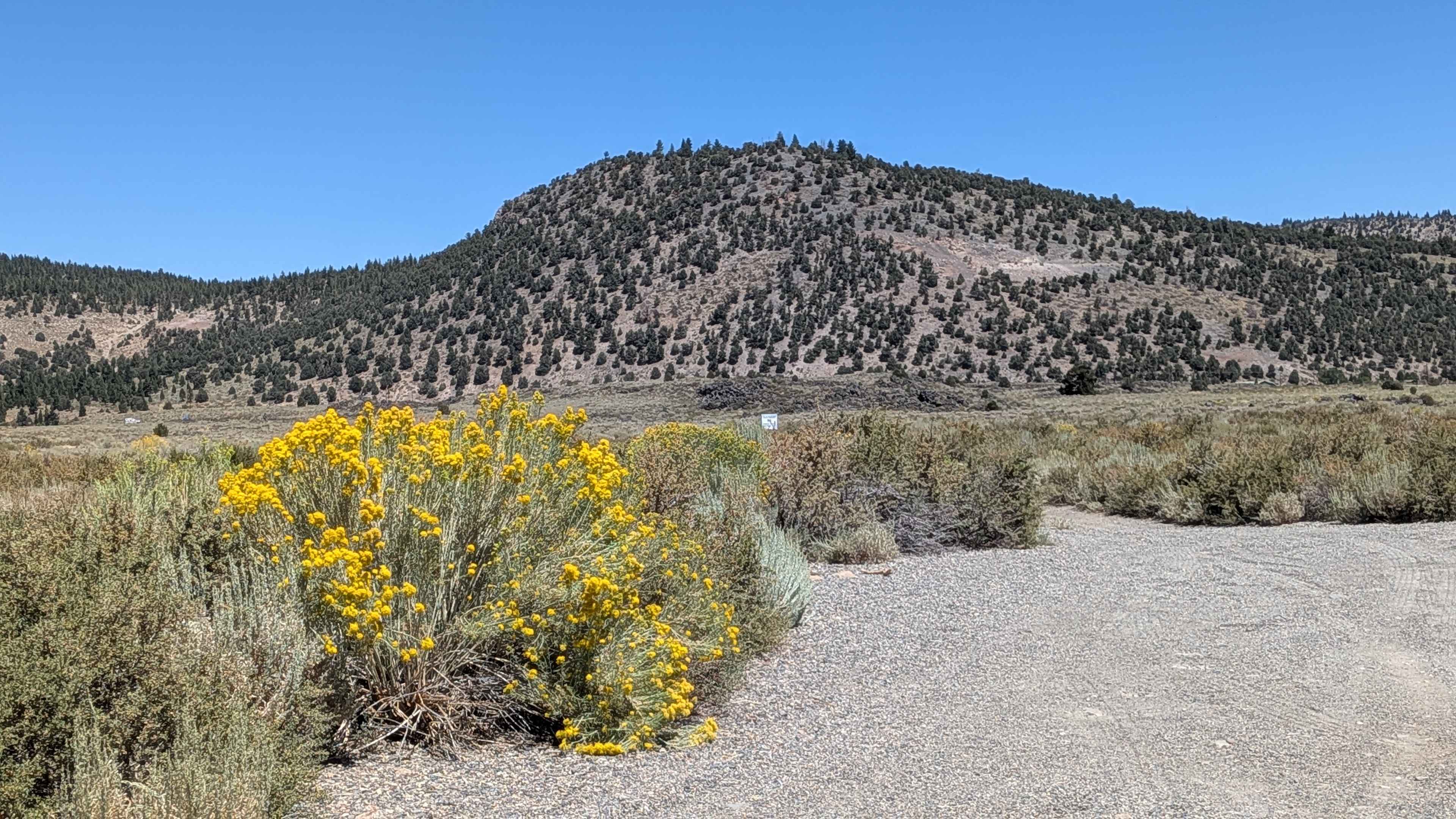
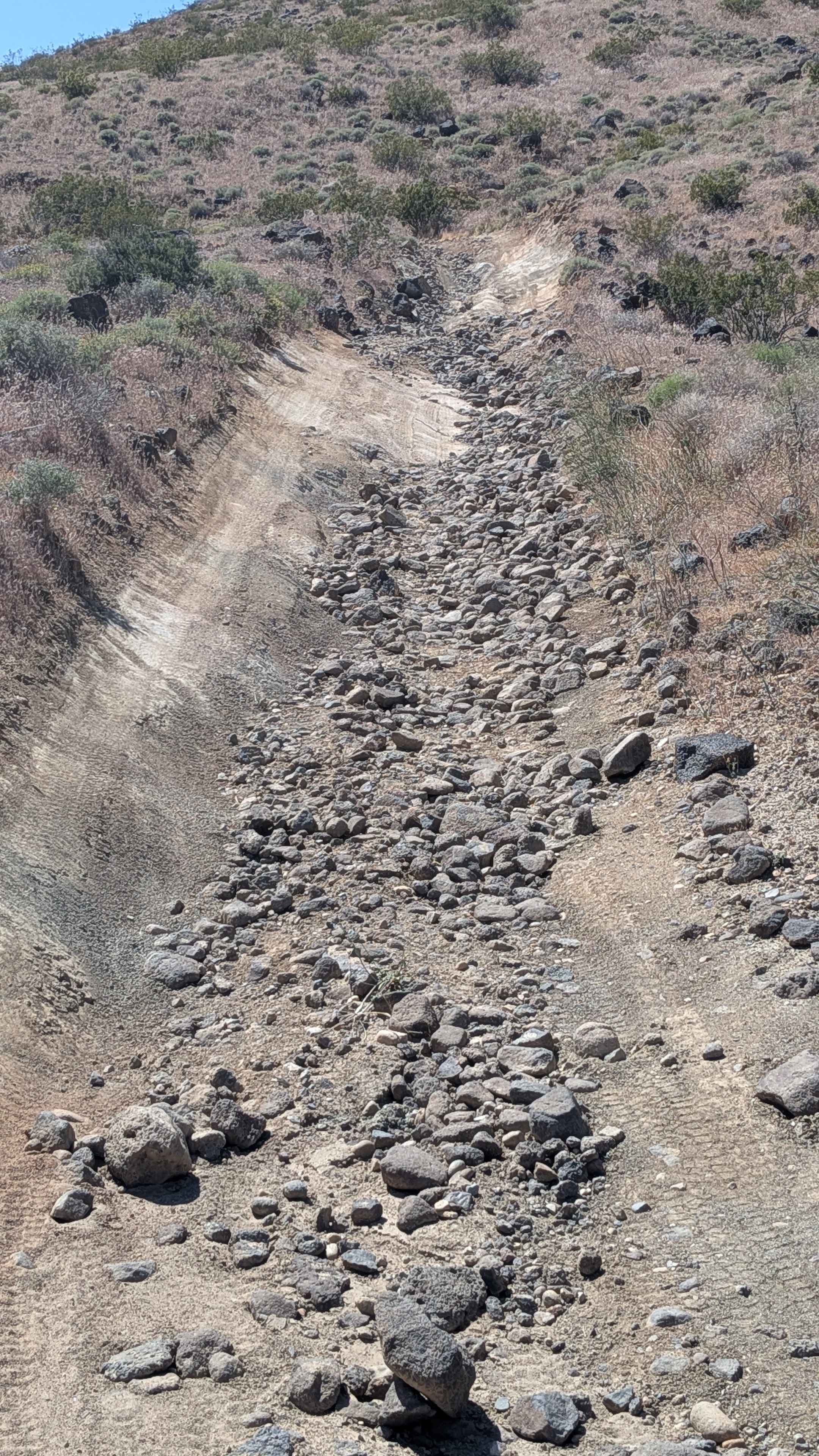
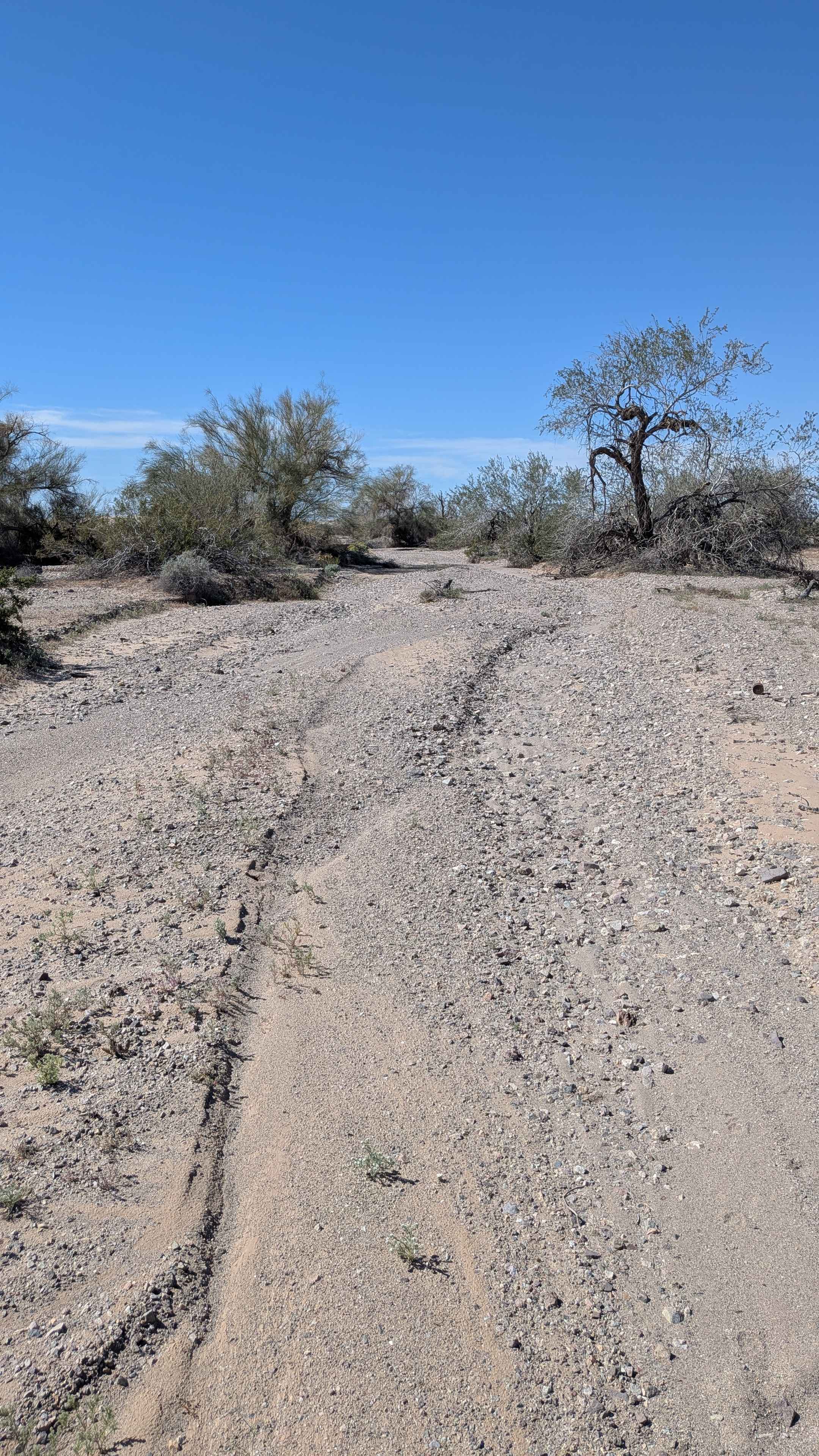
Trail Overview
This gravel and sand road is accessible from two entrances along Sherwin Creek Road, near the Highway 395 corridor. The trail winds through dense sagebrush and high desert flora, making it a scenic yet slightly overgrown drive. About halfway through the trail, you'll encounter a mysterious paved circle--its purpose and history are currently unknown, adding a quirky and unexpected landmark to the route. After the circle, the terrain becomes noticeably rockier. Low-clearance vehicles will have difficulty in this section; high clearance is highly recommended. The road remains single-vehicle wide throughout. The route offers great views of the Laurel Lakes Trail as it snakes up the Sherwin Range toward Laurel Mountain, giving you a nice visual preview if you're planning to tackle that climb.
Photos of FS 4S101A
Difficulty
A mostly moderate trail with a few rocky sections that could pose challenges to low-clearance vehicles. Best suited for high-clearance 2WD or 4WD vehicles.
Status Reports
FS 4S101A can be accessed by the following ride types:
- High-Clearance 4x4
- SUV
- SxS (60")
- ATV (50")
- Dirt Bike
FS 4S101A Map
Popular Trails

Mazourka Canyon
Mesquite Canyon North

Watterson Troughs
The onX Offroad Difference
onX Offroad combines trail photos, descriptions, difficulty ratings, width restrictions, seasonality, and more in a user-friendly interface. Available on all devices, with offline access and full compatibility with CarPlay and Android Auto. Discover what you’re missing today!