Watterson Troughs
Total Miles
4.8
Technical Rating
Best Time
Summer, Spring, Fall
Trail Type
Full-Width Road
Accessible By
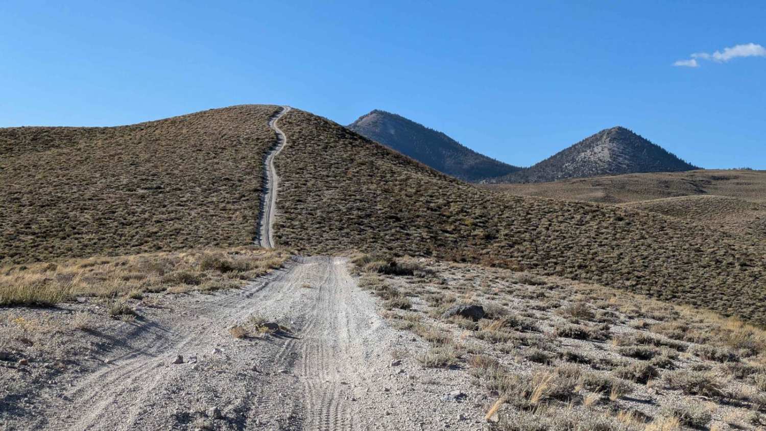
Trail Overview
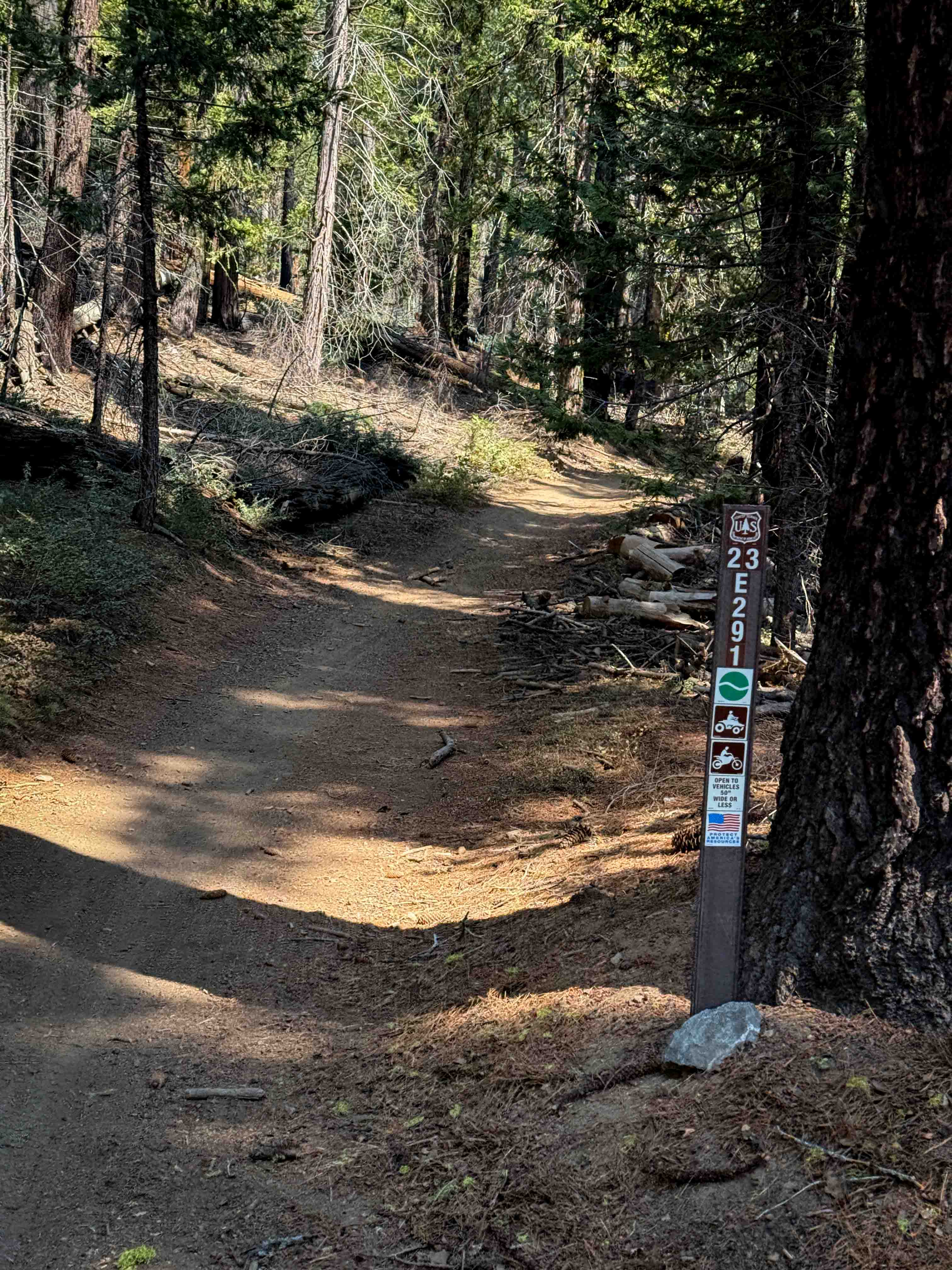
This trail is a sandy trail that climbs up 1000 feet from Benton Crossing Road up to the Watterson Troughs. From the apex, you can go down Deer Springs Road down to another section of Benton Crossing Rd or continue up the stunning Ridgeline all the up the Glass Mountains to Sawmill Meadows and beyond.
Photos of Watterson Troughs

Difficulty
This trail is primarily sandy. It gradually climbs over 1000 feet in just under five miles.
Status Reports
Watterson Troughs can be accessed by the following ride types:
- High-Clearance 4x4
- SUV
Watterson Troughs Map
Popular Trails
Los Pinos Mtn. Loop
The onX Offroad Difference
onX Offroad combines trail photos, descriptions, difficulty ratings, width restrictions, seasonality, and more in a user-friendly interface. Available on all devices, with offline access and full compatibility with CarPlay and Android Auto. Discover what you’re missing today!