Lower Acorn Grotto
Total Miles
3.7
Technical Rating
Best Time
Spring, Fall
Trail Type
Single Track
Accessible By
Trail Overview
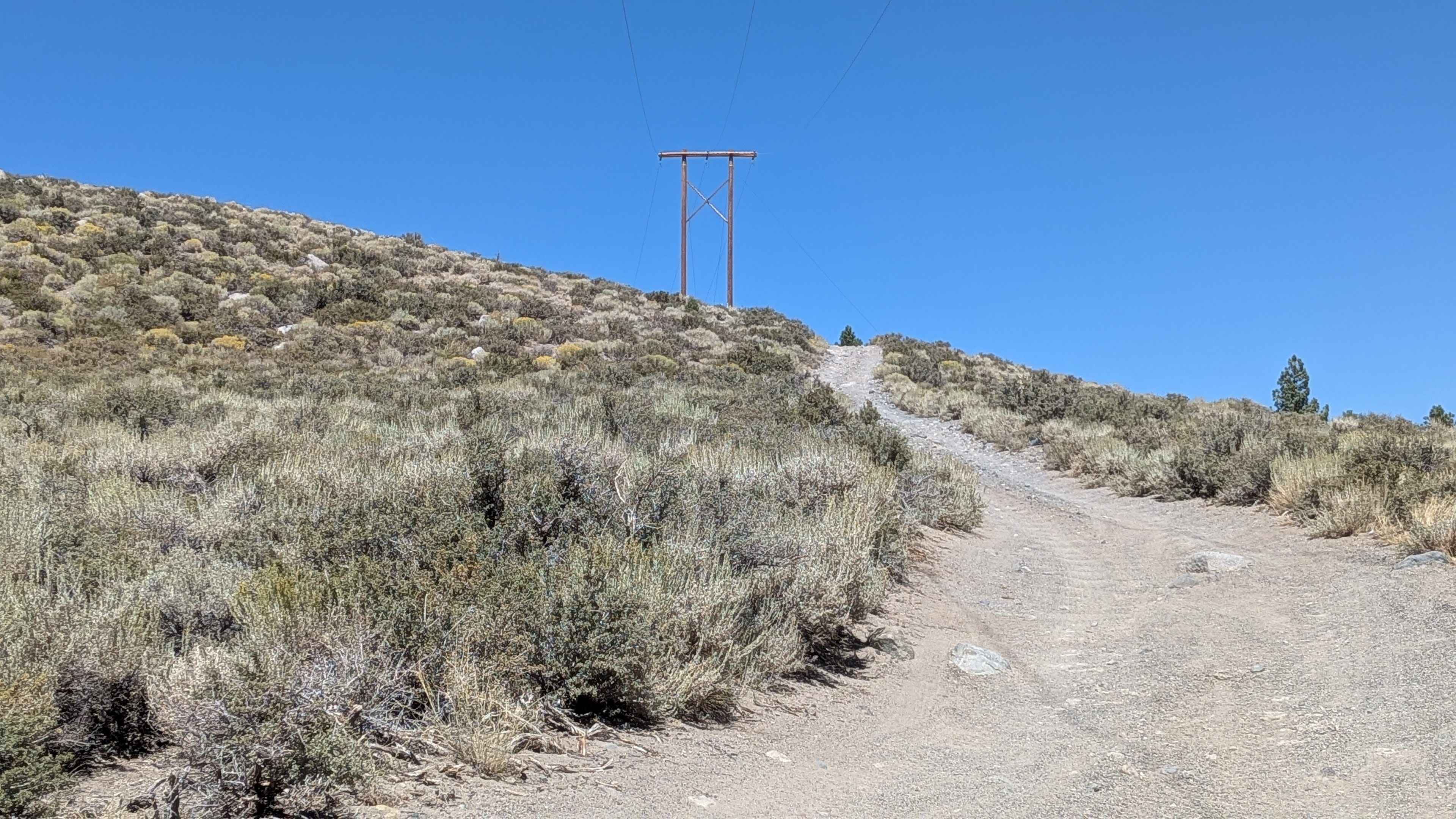
The lower portion of Acorn Grotto is a fun new trail on the west side of the Mount Hough Trail System, and will also be popular with mountain bikers. The south end starts as an easy path meandering through the oak trees in flat dry terrain. It starts to get shelfier as it goes around the edge of the hillside, becoming more exposed. It follows the curvature of the hillside, with nice views over the side of the hill looking down on the Spanish Creek. The trail goes through a burn area, so there is potential for log hazards, and sometimes the trail is lined with big embedded rocks, making the trail feel narrower. After about halfway through, the trail starts switchbacking up the hillside, on tight and steep switchbacks on the very edge of the hill, with significant exposure, and the switchbacks get tighter as you ascend. The shelf exposure is pretty significant through much of the northern half of the route. After the switchbacks, the trail mellows out and has a few big banked corners. After 3.7 miles and gaining 1300 feet elevation, the trail ends on the forest road 25N14 across from the Acorn Connector. It's overall a really scenic and fun trail, but not the best for anyone scared of heights.
Photos of Lower Acorn Grotto


Difficulty
This trail is of moderate difficulty due to the narrow and shelfy nature of the trail. There are a couple of sections that would be really high consequence if you went off-trail. The switchbacks are tight and steep on the north end of the trail, while the southern half of the trail is pretty easy. There are bits of loose rock in the trail and embedded rock lining the trail, but no major rock ledges.
Status Reports
Lower Acorn Grotto can be accessed by the following ride types:
- Dirt Bike
Lower Acorn Grotto Map
Popular Trails


Mojave Road, East

The onX Offroad Difference
onX Offroad combines trail photos, descriptions, difficulty ratings, width restrictions, seasonality, and more in a user-friendly interface. Available on all devices, with offline access and full compatibility with CarPlay and Android Auto. Discover what you’re missing today!