Mojave Road, East
Total Miles
28.9
Technical Rating
Best Time
Fall, Winter, Spring
Trail Type
Full-Width Road
Accessible By
Trail Overview
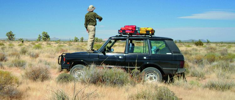
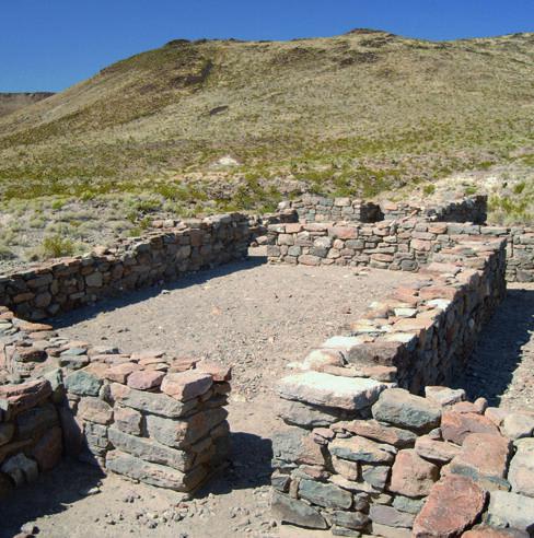
This portion of the trip starts east of the California/Nevada state line. At first, it's not well marked and takes some patience to stay on the trail. You'll take a fun side trip to historic Fort Piute once you reach the boundary to the Mojave National Preserve. At this point, only street-legal vehicles are allowed to proceed. Dispersed camping is allowed along route unless posted otherwise. Pack out everything.
Photos of Mojave Road, East
Difficulty
Moderate: Most of this route is easy, but several spots are steep, rocky and rutted. OK for aggressive stock 4x4 SUVs. Soft sand and muddy at times. Don't go alone. Carry plenty of water and gas. Flash floods possible. Route-finding is challenging. Follow cairns, which are always on the right. Free GPS waypoints can be downloaded from our website at www.funtreks.com.
History
Like many roads in the West, this route started as an Indian foot path and later became an important wagon road servicing mining operations and travelers heading west. The route's many natural springs provided life-sustaining water. In 1981, volunteers formed an organization called 'Friends of the Mojave Road.' They reopened the road for recreational and historic purposes, and are today committed to its preservation.
Status Reports
Mojave Road, East can be accessed by the following ride types:
- High-Clearance 4x4
- SUV
Mojave Road, East Map
Popular Trails
Lake Hughes/Grass Mountain Connector Trail
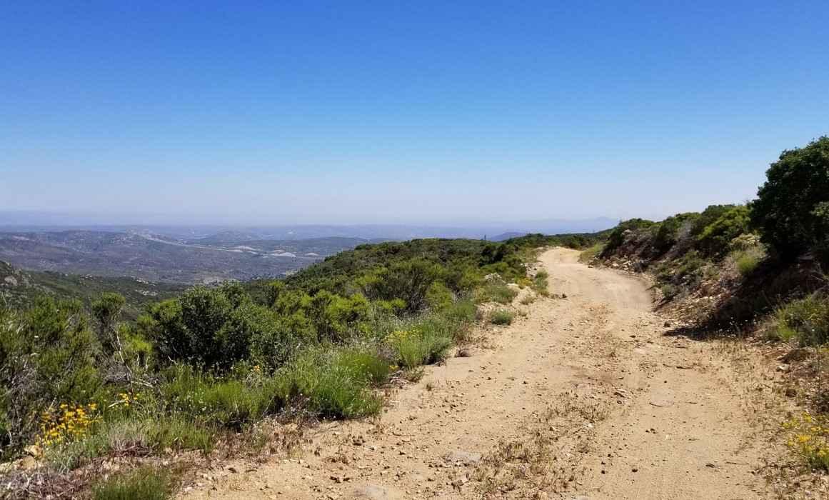
16S08 Fred Canyon Road
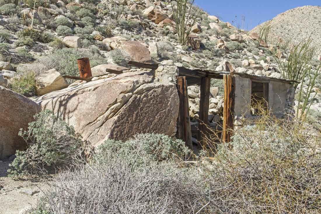
Rockhouse Canyon Road
The onX Offroad Difference
onX Offroad combines trail photos, descriptions, difficulty ratings, width restrictions, seasonality, and more in a user-friendly interface. Available on all devices, with offline access and full compatibility with CarPlay and Android Auto. Discover what you’re missing today!
