Red Rock InyoKern North
Total Miles
13.2
Technical Rating
Best Time
Fall, Summer, Spring
Trail Type
Full-Width Road
Accessible By
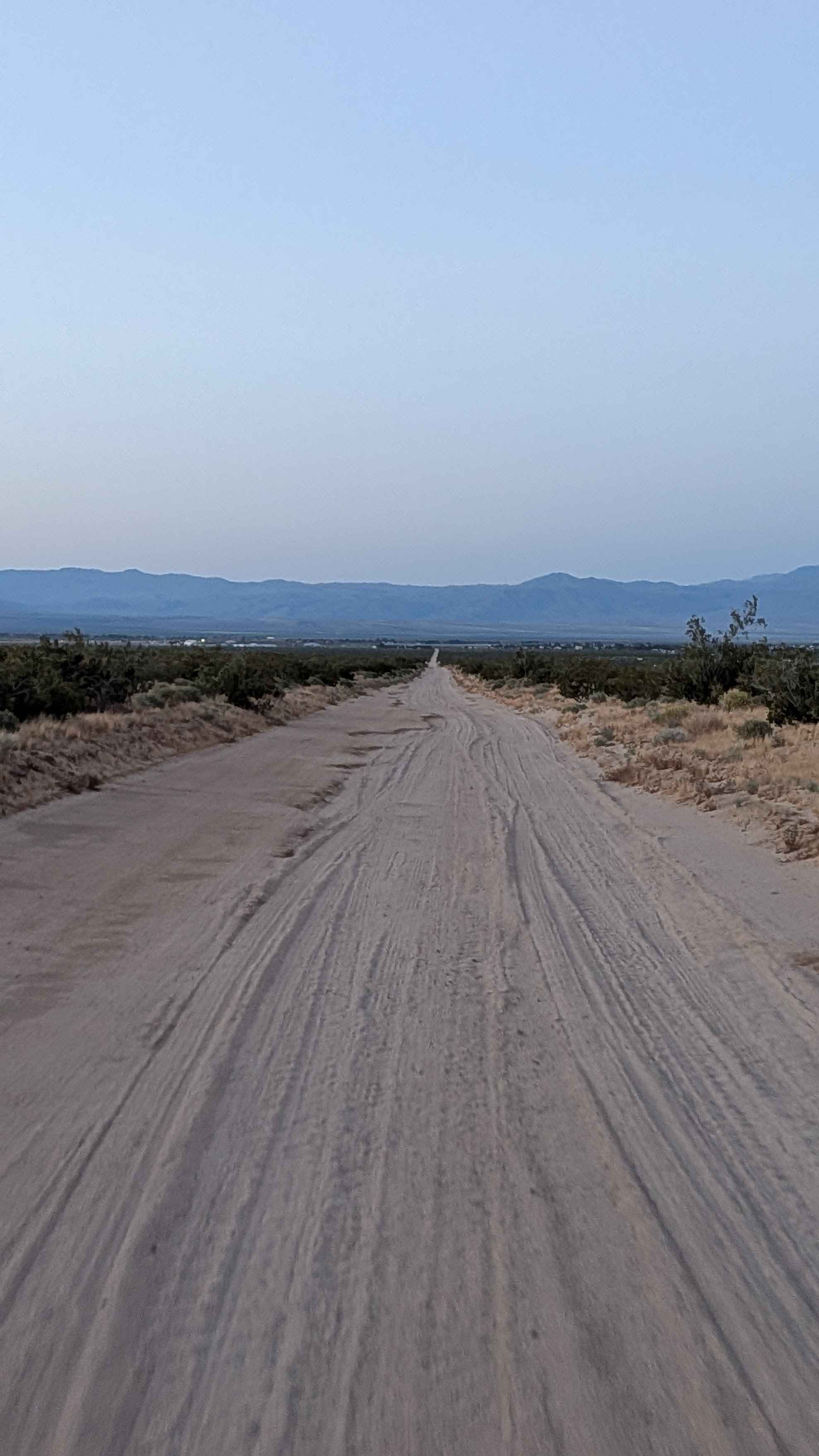
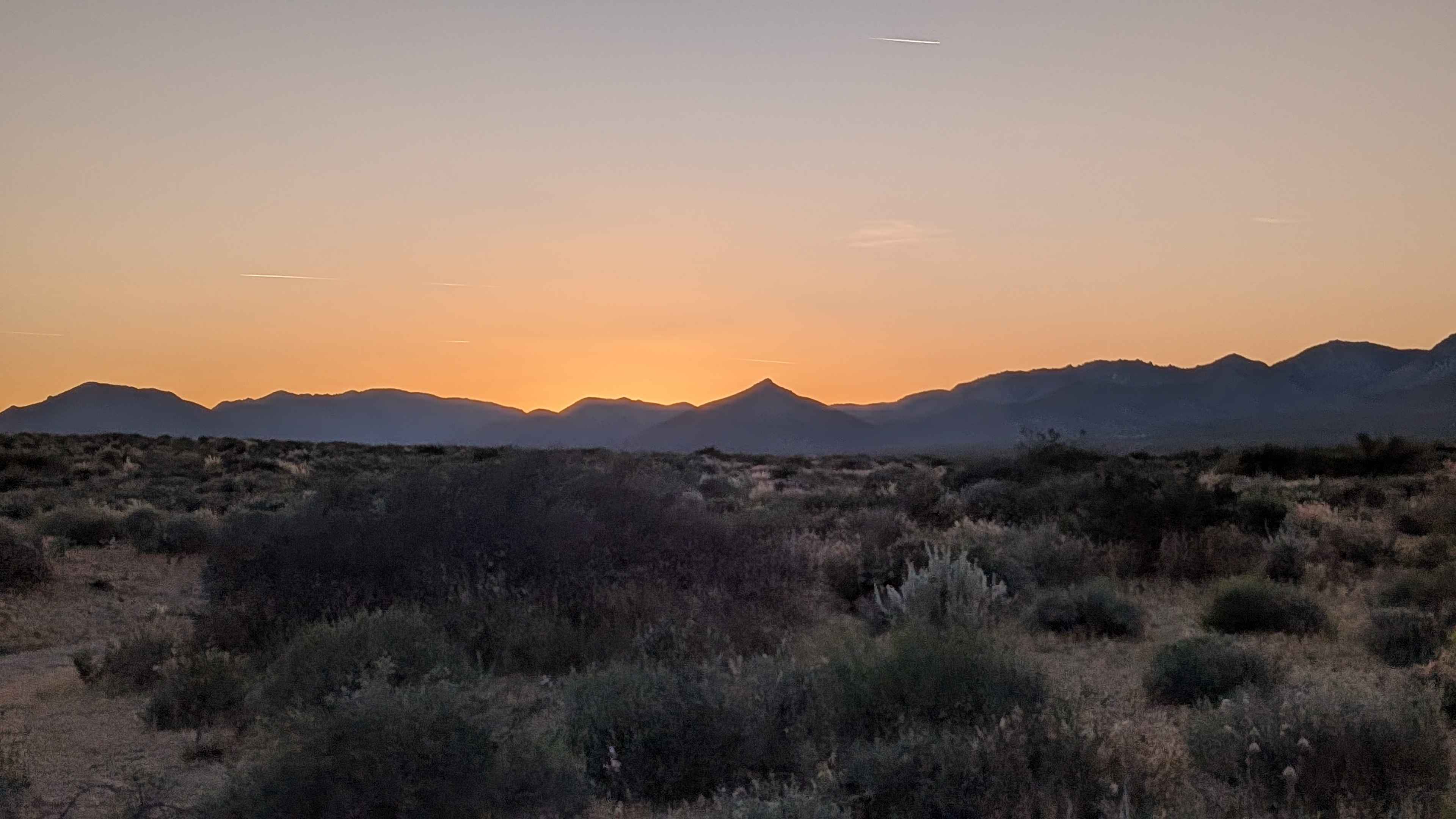
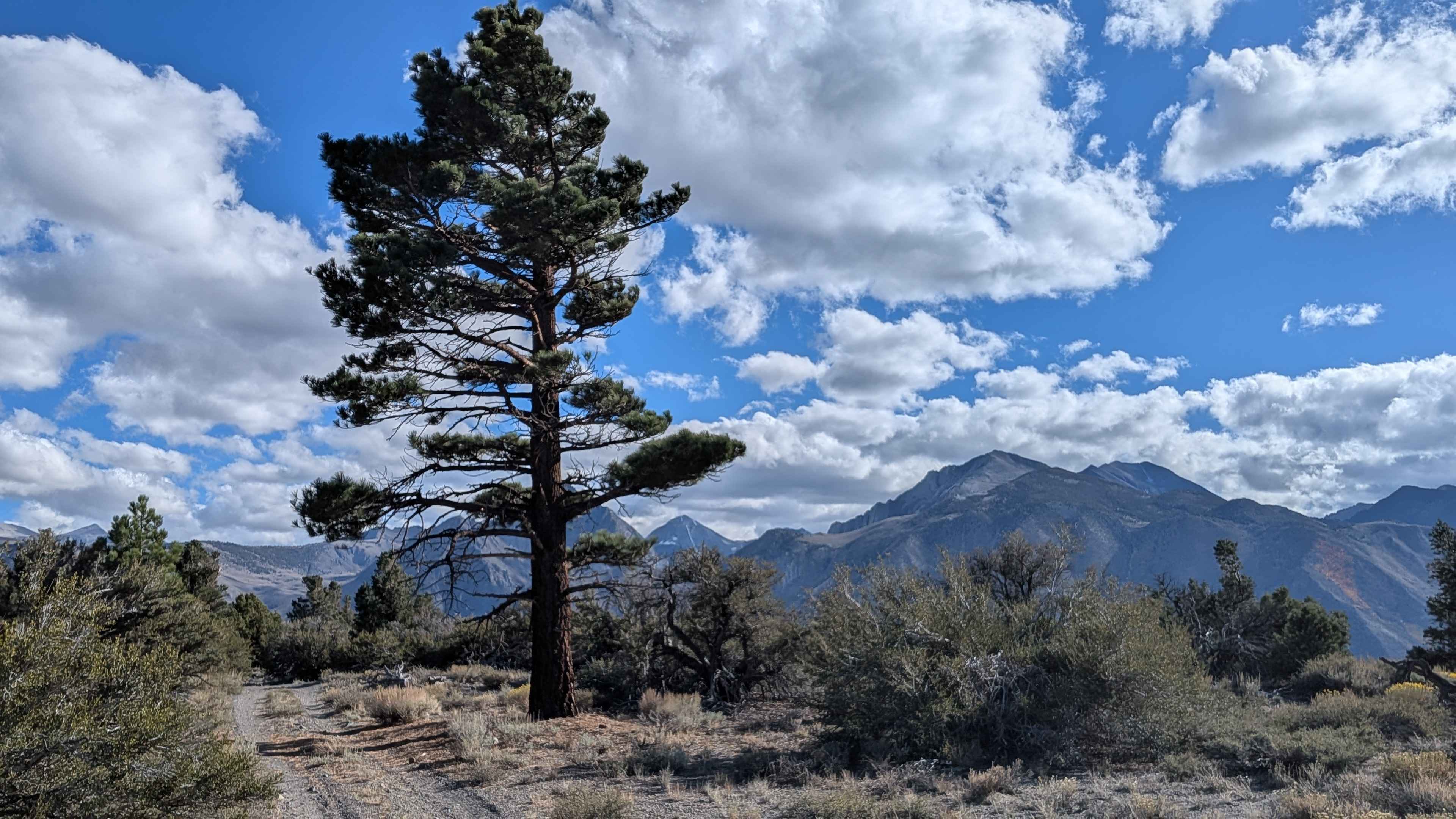
Trail Overview
Red Rock InyoKern Road North runs parallel to Highway 14 and serves as a scenic alternative to pavement for those heading into InyoKern. The trail runs one and a half to two vehicles wide on mostly soft and packed sand, offering expansive views of the Eastern Sierra to the west, the El Paso Mountains to the east, and the Panamint Ridge of Death Valley to the north.
Photos of Red Rock InyoKern North
Difficulty
Rated a 2, this is a straightforward and approachable route with no significant technical challenges.
Status Reports
Red Rock InyoKern North can be accessed by the following ride types:
- High-Clearance 4x4
- SUV
- SxS (60")
- ATV (50")
- Dirt Bike
Red Rock InyoKern North Map
Popular Trails

26E334 - Redpole Loop

Chickens
The onX Offroad Difference
onX Offroad combines trail photos, descriptions, difficulty ratings, width restrictions, seasonality, and more in a user-friendly interface. Available on all devices, with offline access and full compatibility with CarPlay and Android Auto. Discover what you’re missing today!