FS 3S143
Total Miles
3.7
Technical Rating
Best Time
Fall, Summer
Trail Type
Full-Width Road
Accessible By
Trail Overview
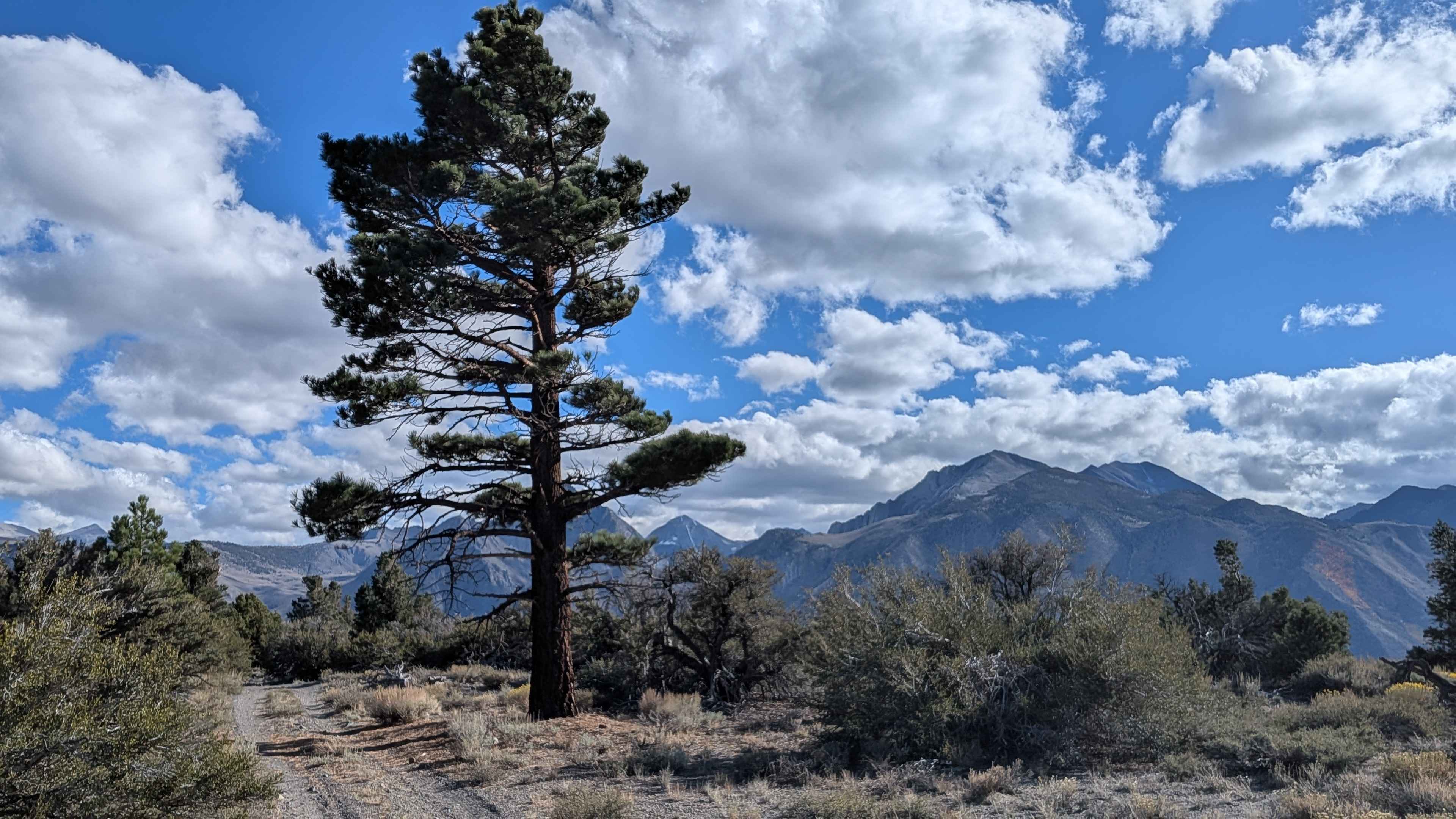
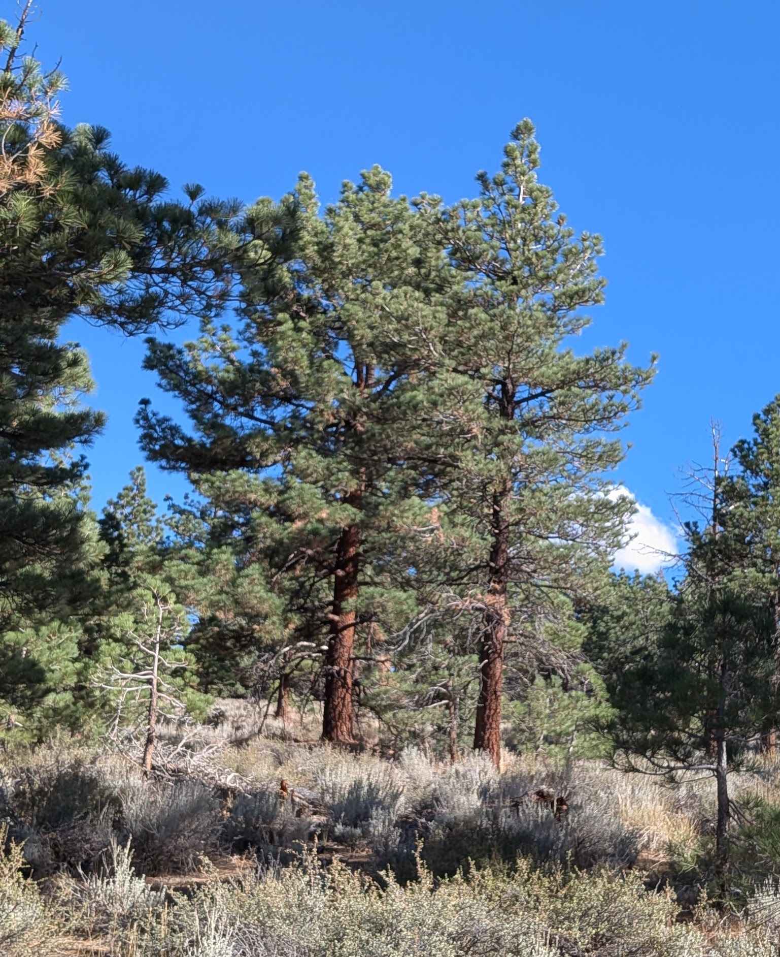
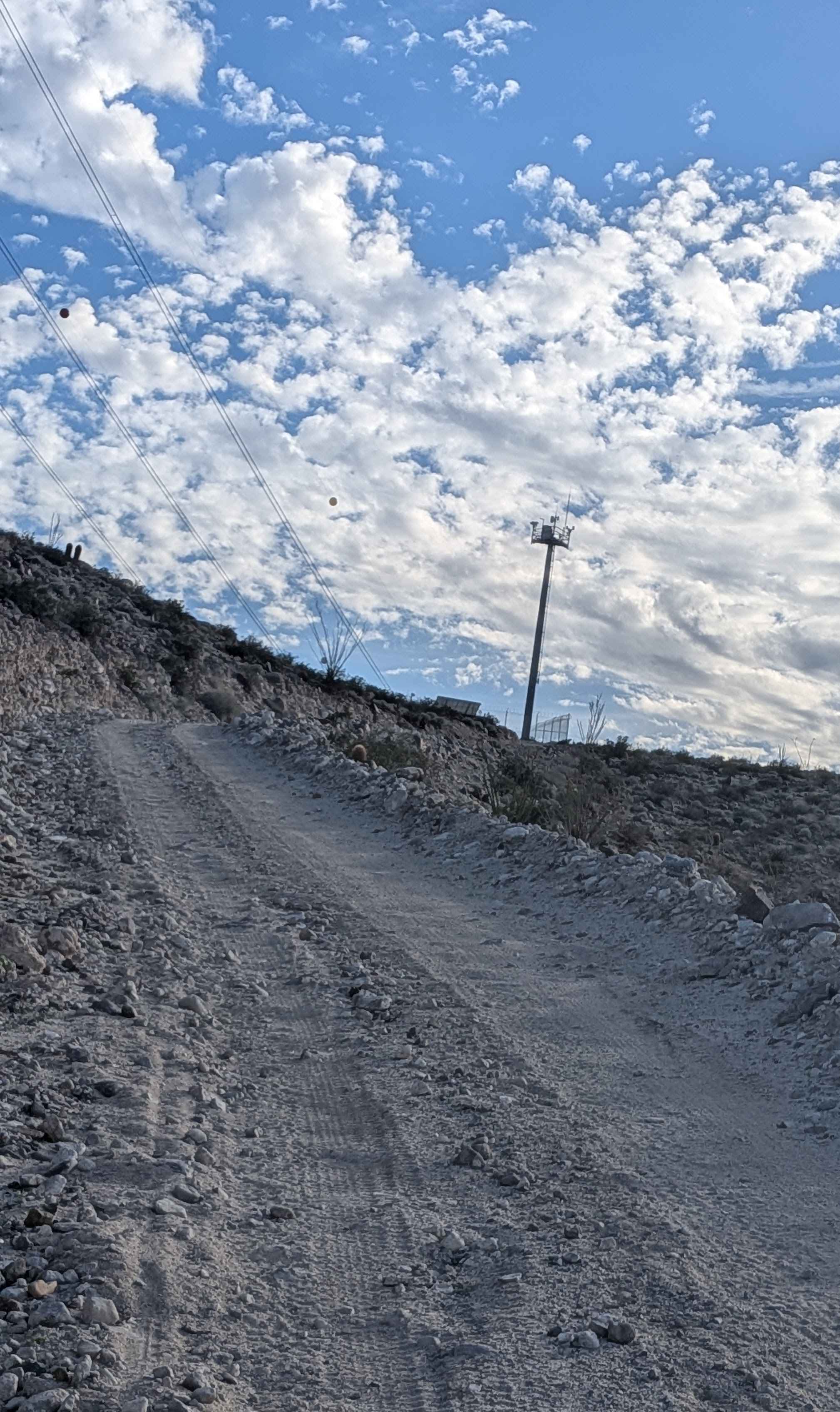
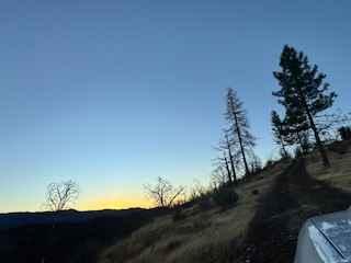
This 4-mile loop climbs over 700 feet and drops nearly the same amount, running through a pine forest lined with sagebrush. The surface is primarily sand and pumice, with overgrown brush in the median that can cause Sierra pinstripes on wider vehicles. From the north side, about a mile in, there is a large downed tree with a high-clearance bypass just before the junction with Forest Service Road 3S142. Midway through the route, expansive views open up toward the Eastern Sierra, Mono Lake, the Sherwin Range, the Glass Mountains, and the White Mountains, with Highway 395 visible below. The south side of the trail is rockier and bumpier, while the north side offers interesting obsidian rock scattered along the ground.
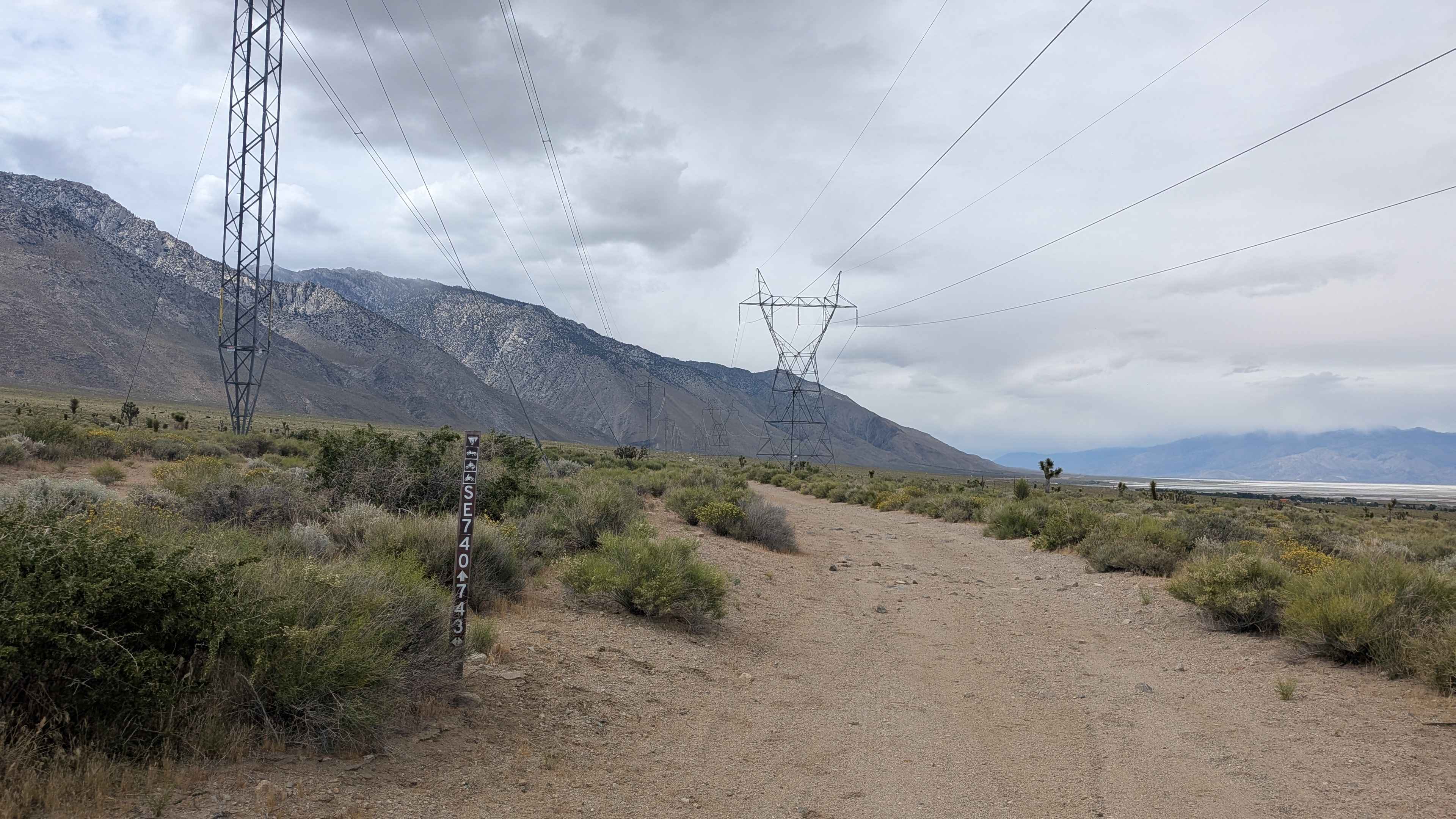
Photos of FS 3S143
Difficulty
Although most of the trail is a rating 1 or 2, the bypass around the downed tree raises the rating to 3. Sandy surfaces, brush, and rocky sections mean good tires and traction are highly recommended. Low clearance vehicles are not advised.
Status Reports
FS 3S143 can be accessed by the following ride types:
- High-Clearance 4x4
- SUV
- SxS (60")
- ATV (50")
- Dirt Bike
FS 3S143 Map
Popular Trails
Sugarloaf Mountain - BLM 118

The onX Offroad Difference
onX Offroad combines trail photos, descriptions, difficulty ratings, width restrictions, seasonality, and more in a user-friendly interface. Available on all devices, with offline access and full compatibility with CarPlay and Android Auto. Discover what you’re missing today!