BLM SE740
Total Miles
2.9
Technical Rating
Best Time
Summer, Fall, Spring
Trail Type
Full-Width Road
Accessible By
Trail Overview
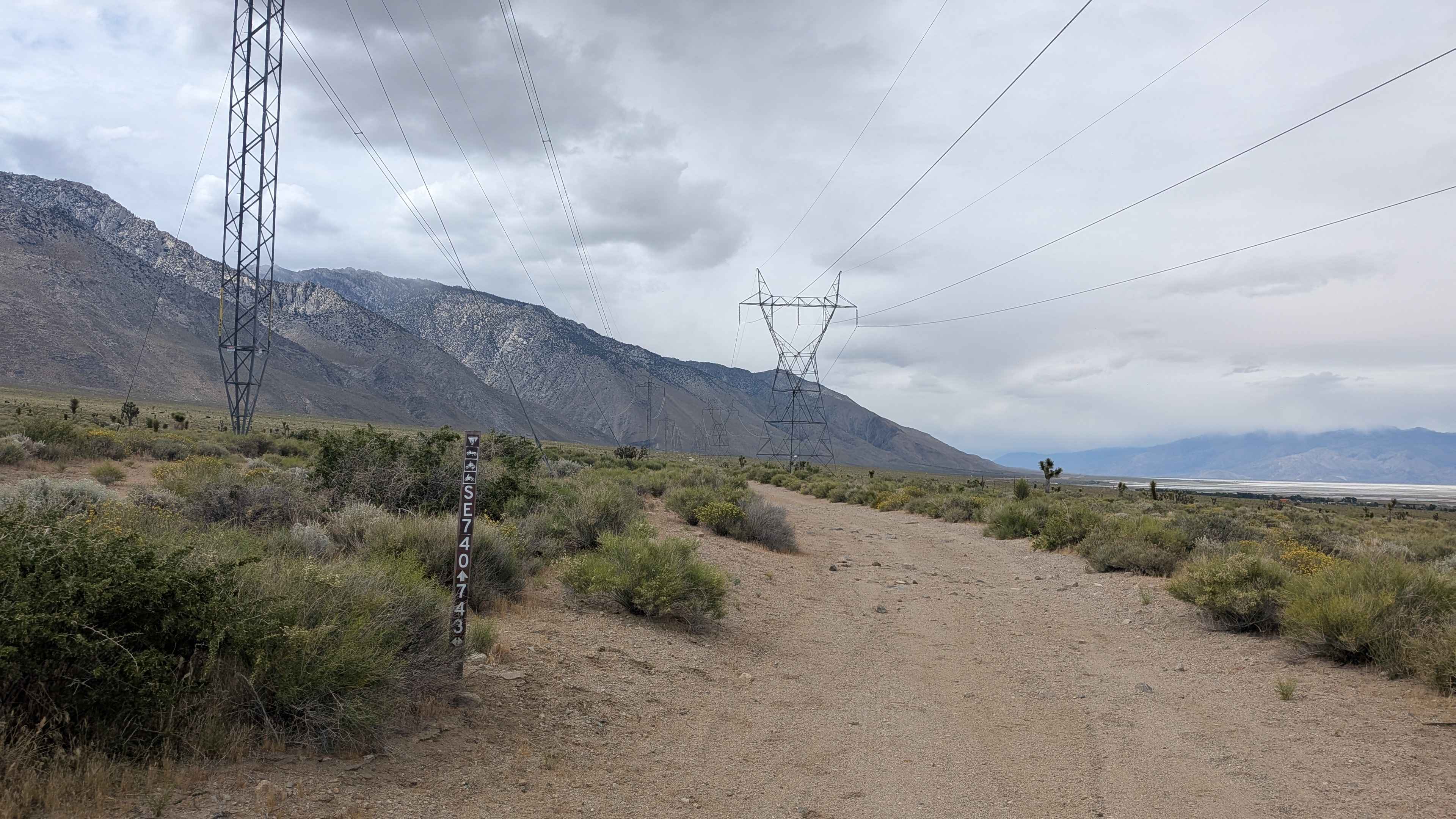
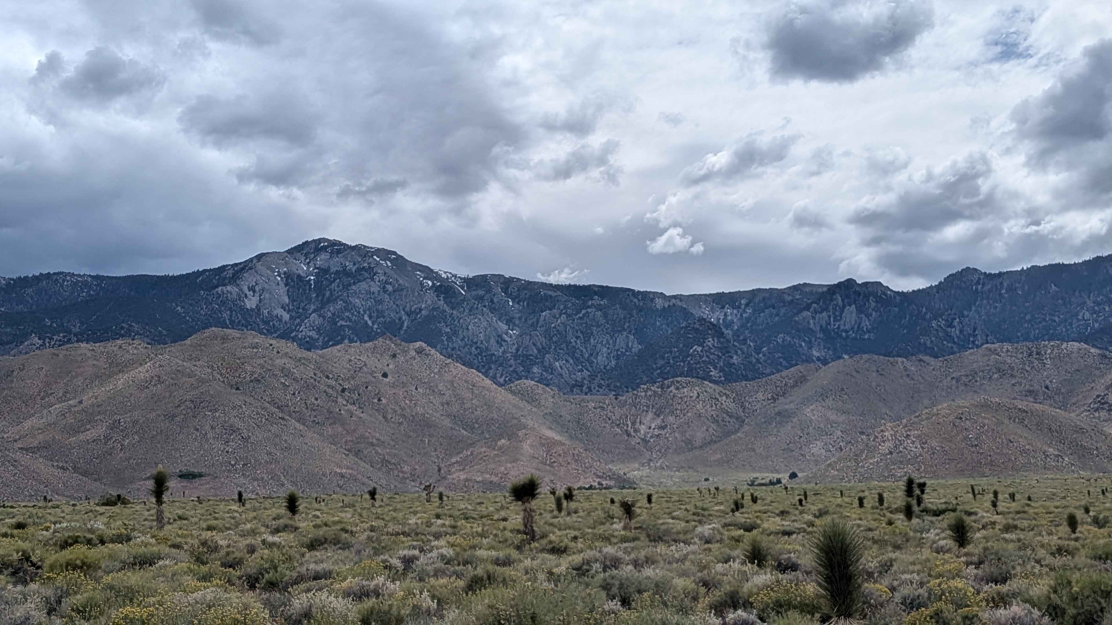
BLM SE740 is a trail tracing a course parallel to US-395 beneath a series of power line corridors. The route offers a useful link trail in the Olancha area network while delivering a solid mix of soft sand, light technical terrain, and open desert scenery. The surface is soft sand throughout, with embedded rocks and small boulders keeping things honest. The trail weaves in and out of several small washes along the way, and drivers will encounter a couple of water crossings up to 12 inches deep, depending on conditions. Vegetation is quintessential lower Owens Valley desert: dense low scrub brush with Joshua trees scattered throughout. The views hold steady in both directions with the Eastern Sierra to the west and the Coso Range climbing above the Death Valley boundary to the east.
Photos of BLM SE740
Difficulty
Soft sand, embedded rocks and small boulders, small wash crossings, water crossings up to 12" deep, which can vary by season and after weather. Cattle also graze seasonally.
Status Reports
BLM SE740 can be accessed by the following ride types:
- High-Clearance 4x4
- SUV
- SxS (60")
- ATV (50")
- Dirt Bike
BLM SE740 Map
Popular Trails

Last Chance Road 13E17/FS 44-022

Owens Gorge Road
Check Me Out
The onX Offroad Difference
onX Offroad combines trail photos, descriptions, difficulty ratings, width restrictions, seasonality, and more in a user-friendly interface. Available on all devices, with offline access and full compatibility with CarPlay and Android Auto. Discover what you’re missing today!