Last Chance Road 13E17/FS 44-022
Total Miles
6.8
Technical Rating
Best Time
Spring, Summer, Fall
Trail Type
Full-Width Road
Accessible By
Trail Overview
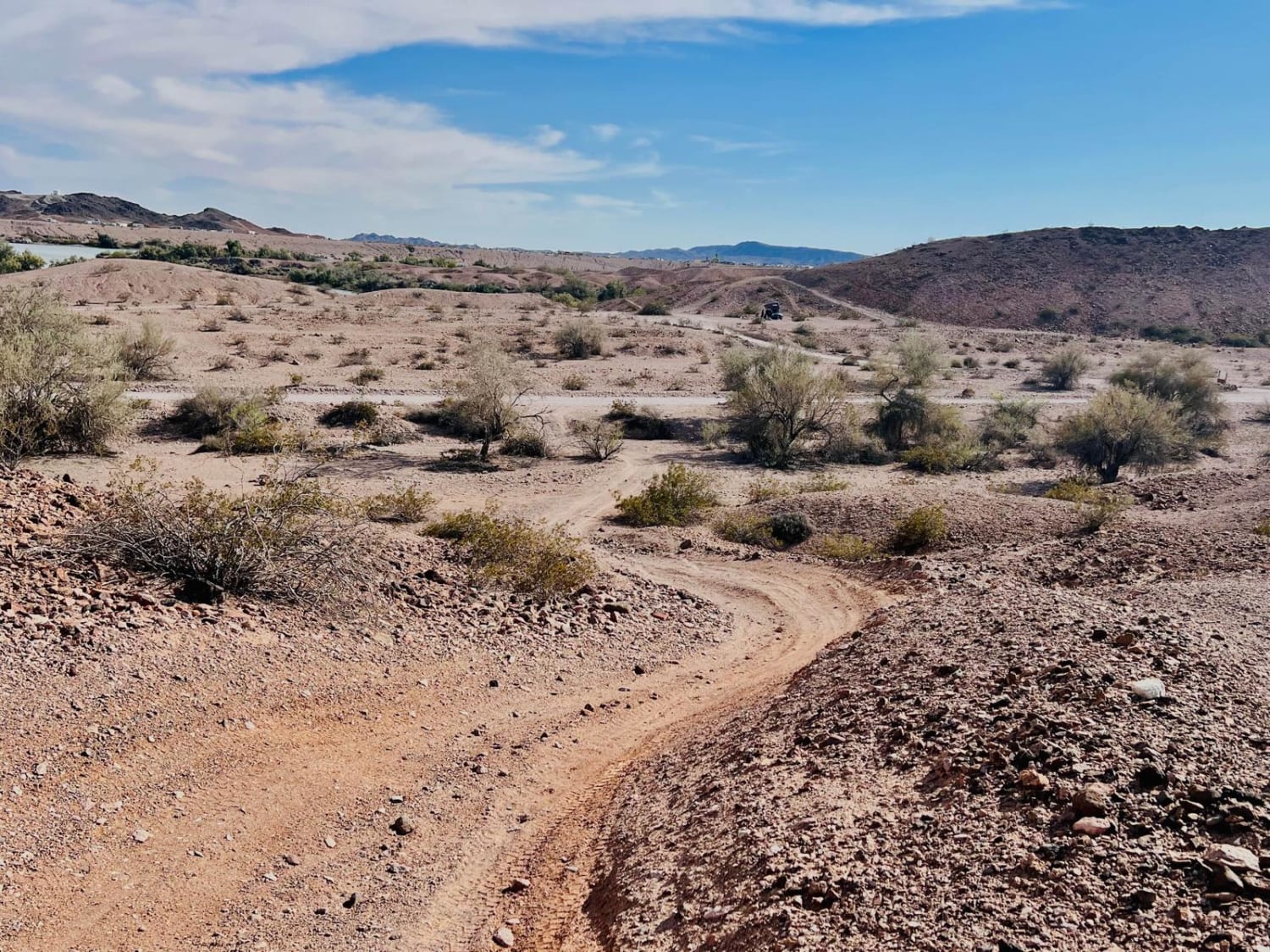
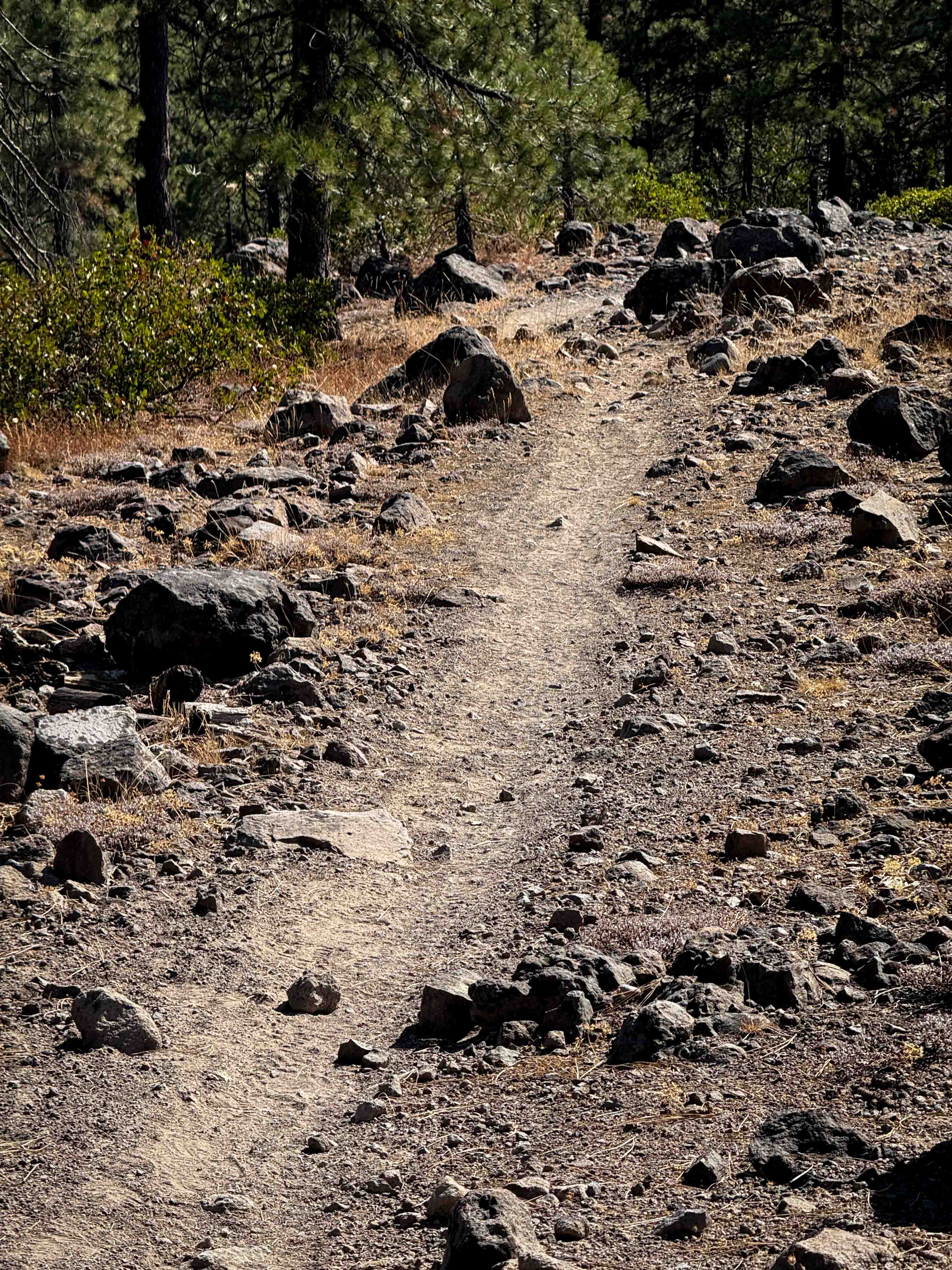
Open to ALL Vehicles 4/1-12/31 (Be Cautious of Others). Last Chance Road co-mingles with a main motorcycle trail for the Tahoe National Forest, which leads either to Michigan Bluff, China Wall, or even over to Sugar Pine. Trail starting off from Mosquito Ridge Road NFH 96 is a dusty dirt road with a mix of small rocks providing some incline. At the intersection of FS 44, the road changes to gravel. No cell coverage here, but enjoy the nice canyon breeze full of pine while catching a glimpse of the monarchs, lodgepole chipmunks, and deer. *Dual Road and Seasonal Snow Trail Routes* Road 0096 (Mosquito Ridge Road) is open to wheeled motorized vehicle travel by the public, except when managed as a snow trail as described in the "Special Seasonal Designations for Roads Managed as Tracked Over-Snow Vehicle Routes Table." For the current Open/Closed Status of Road 0096, call the American River Ranger District at 530-367-2224 ext. 228.
Photos of Last Chance Road 13E17/FS 44-022


Difficulty
Safe for most 4WD and high-clearance 2WD vehicles.
Status Reports
Last Chance Road 13E17/FS 44-022 can be accessed by the following ride types:
- High-Clearance 4x4
- SUV
- SxS (60")
- ATV (50")
- Dirt Bike
Last Chance Road 13E17/FS 44-022 Map
Popular Trails
Imperial Rollers
Grass Mountain Summit
The onX Offroad Difference
onX Offroad combines trail photos, descriptions, difficulty ratings, width restrictions, seasonality, and more in a user-friendly interface. Available on all devices, with offline access and full compatibility with CarPlay and Android Auto. Discover what you’re missing today!