Sugarloaf Mountain - BLM 118
Total Miles
1.6
Technical Rating
Best Time
Fall, Winter, Spring
Trail Type
Full-Width Road
Accessible By
Trail Overview
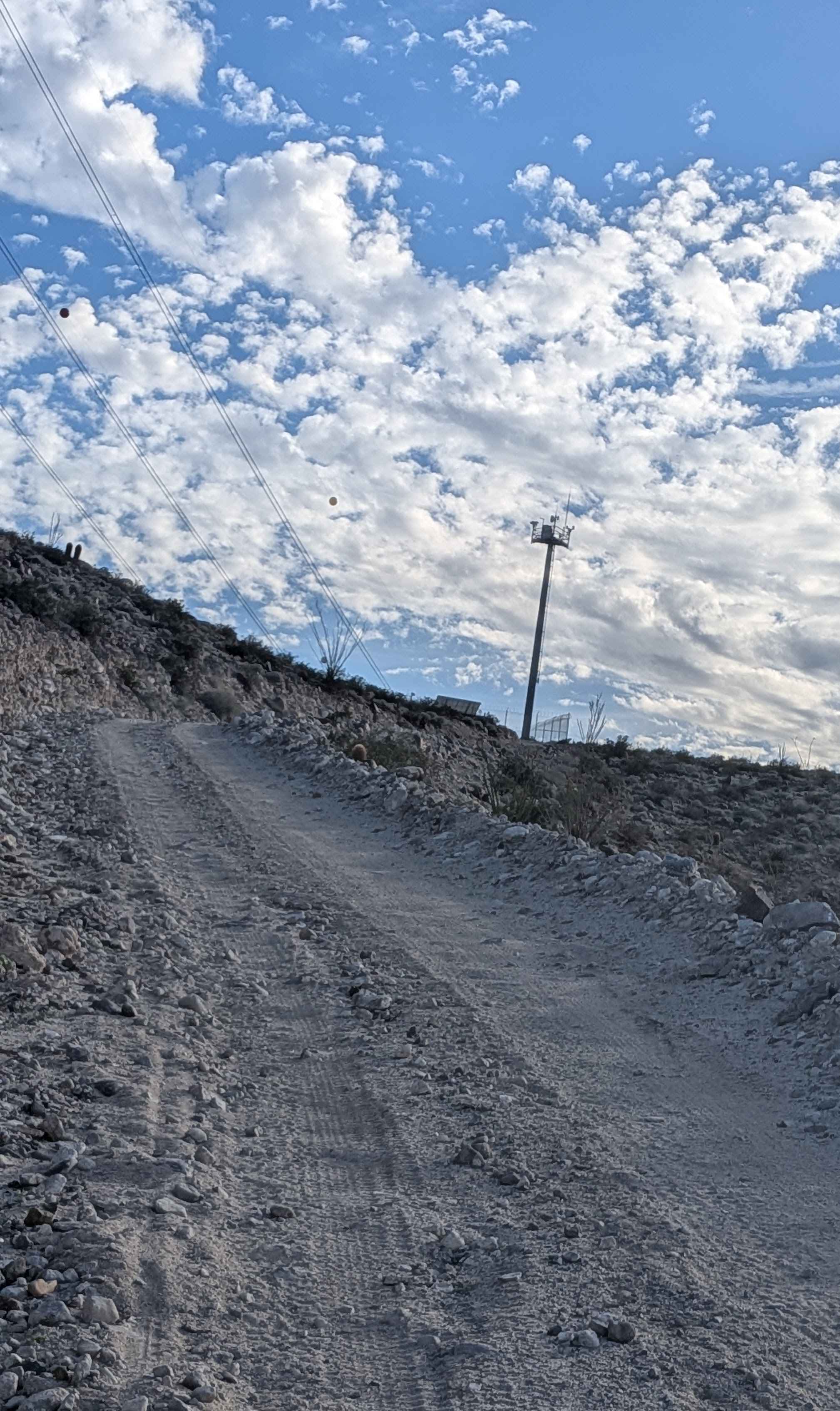
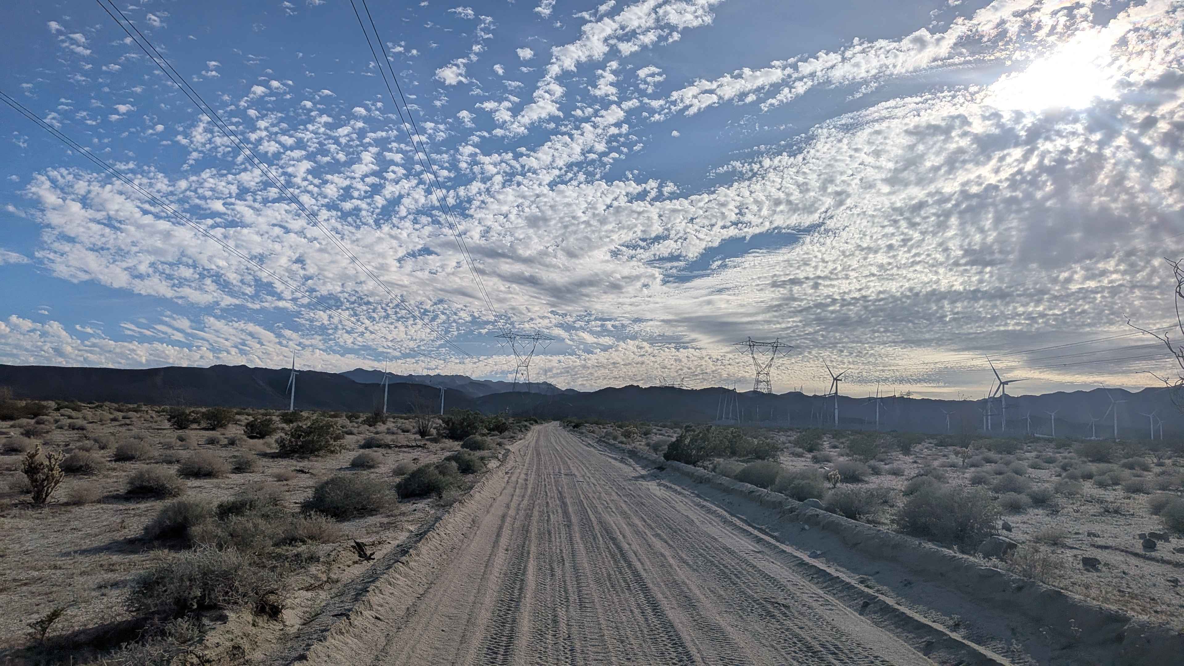
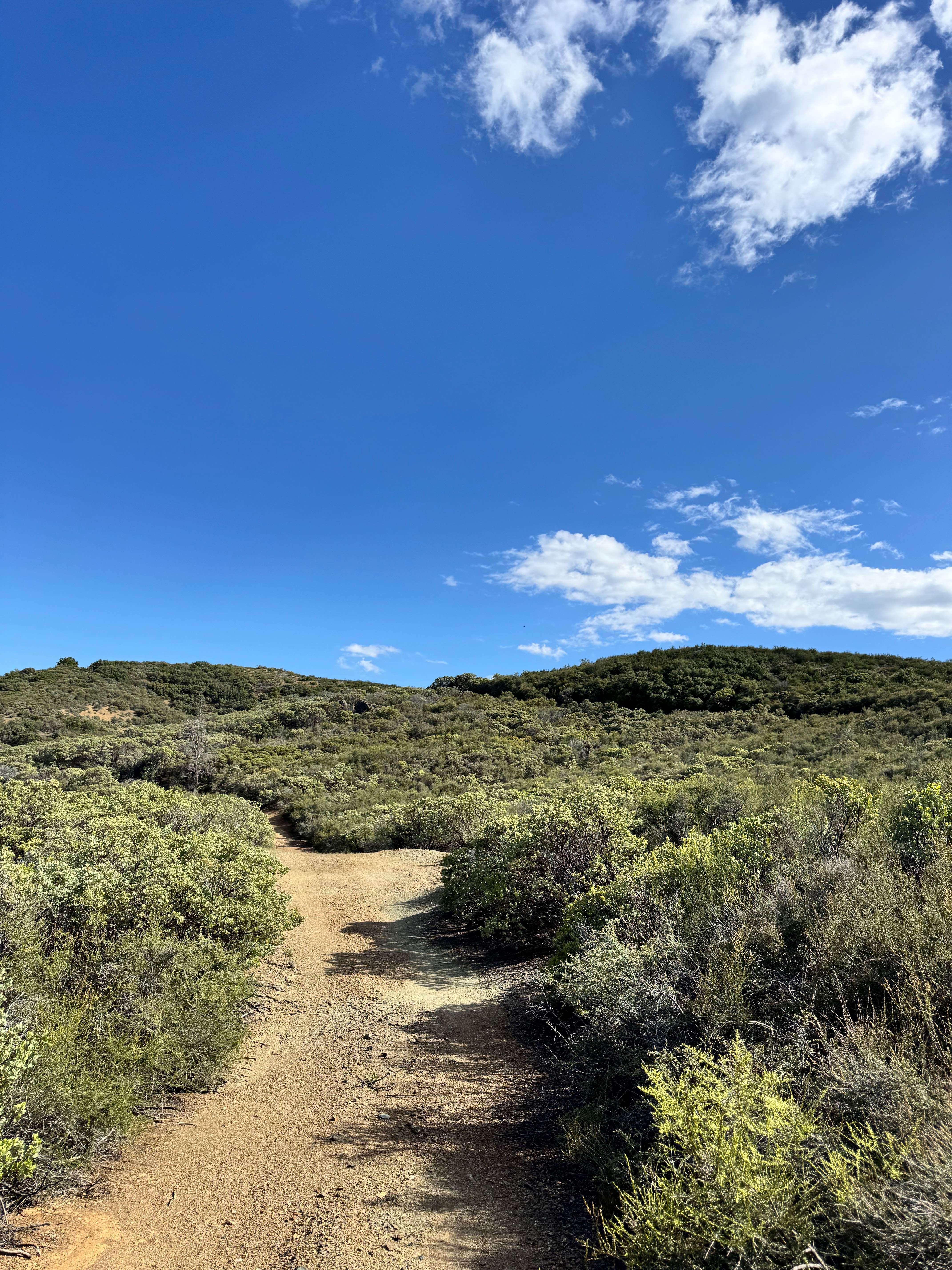
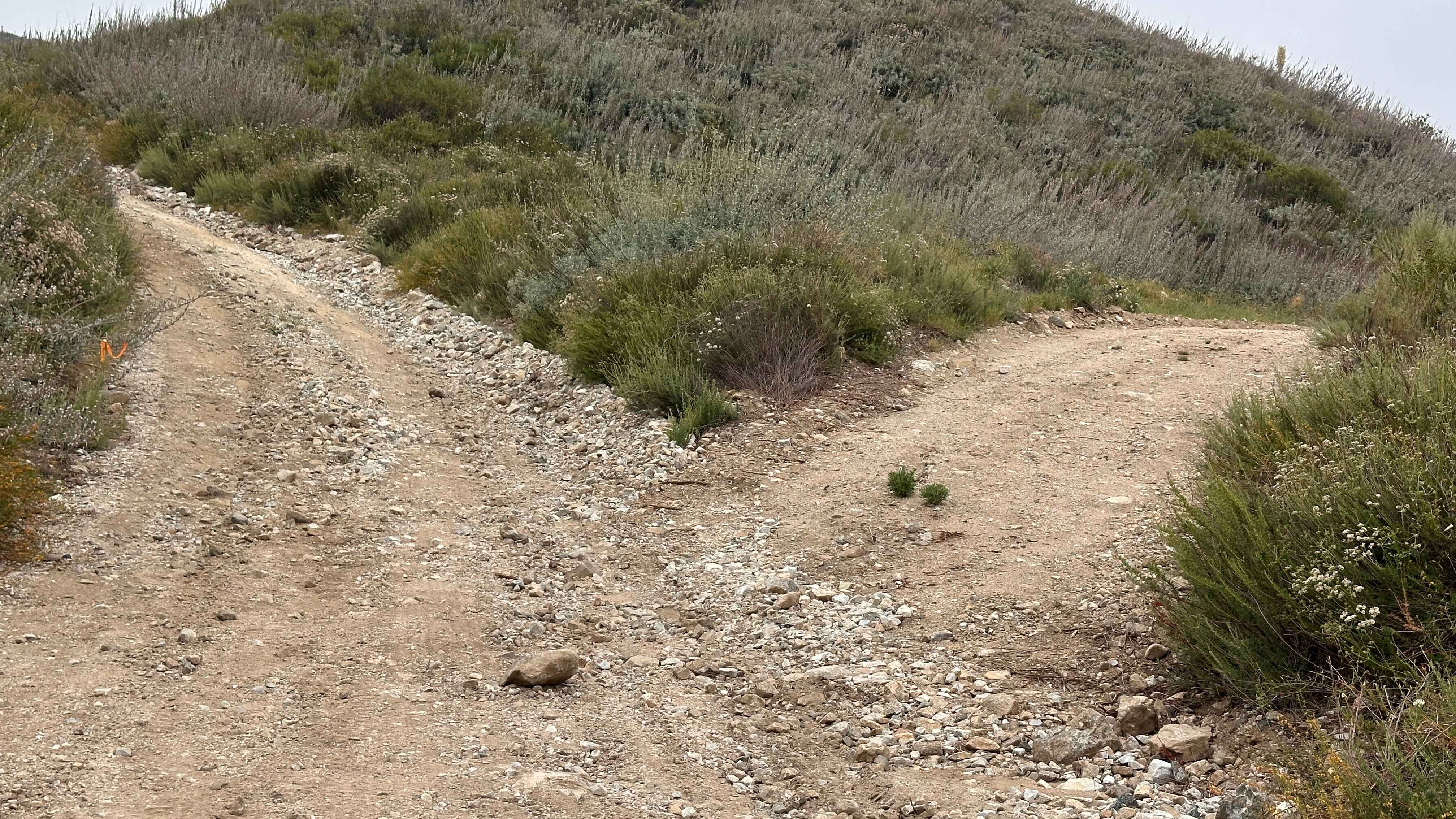
This trail starts at Highway 2 and is one and a half vehicles wide with a sand and gravel surface. The route cuts through the power windmill area where massive turbines create an impressive industrial landscape. The trail features fine soft sand throughout, requiring constant momentum management. Large power lines run on both sides for easy reference and navigation. The trail climbs 500 feet in the last half mile up to Sugarloaf Mountain, creating a steep, challenging finish. From the top, you overlook Highway 8 to the south and Highway 2 to the north with great views spreading out in all directions. The area is a limited-use area, so please stay on designated trails to protect the environment.
Photos of Sugarloaf Mountain - BLM 118
Difficulty
The fine soft sand requires four wheel drive and airing down is essential for maintaining traction. The climb of 500 feet in the last half mile is extremely steep and demanding, requiring excellent momentum management and skilled driving. There is a slight off-camber section. This final push to Sugarloaf Mountain is the main technical challenge. The power lines provide excellent navigation reference throughout. Respect the limited use designation and stay on the trail.
Status Reports
Sugarloaf Mountain - BLM 118 can be accessed by the following ride types:
- High-Clearance 4x4
- SUV
- SxS (60")
- ATV (50")
- Dirt Bike
Sugarloaf Mountain - BLM 118 Map
Popular Trails

Otay Mountain Truck Trail (Upper Trail)

Mountain Chief - FS 10-006
Black Diamond - FS 18N30
Split Rock Trek
The onX Offroad Difference
onX Offroad combines trail photos, descriptions, difficulty ratings, width restrictions, seasonality, and more in a user-friendly interface. Available on all devices, with offline access and full compatibility with CarPlay and Android Auto. Discover what you’re missing today!