Mountain Chief - FS 10-006
Total Miles
2.5
Technical Rating
Best Time
Spring, Summer, Fall
Trail Type
Full-Width Road
Accessible By
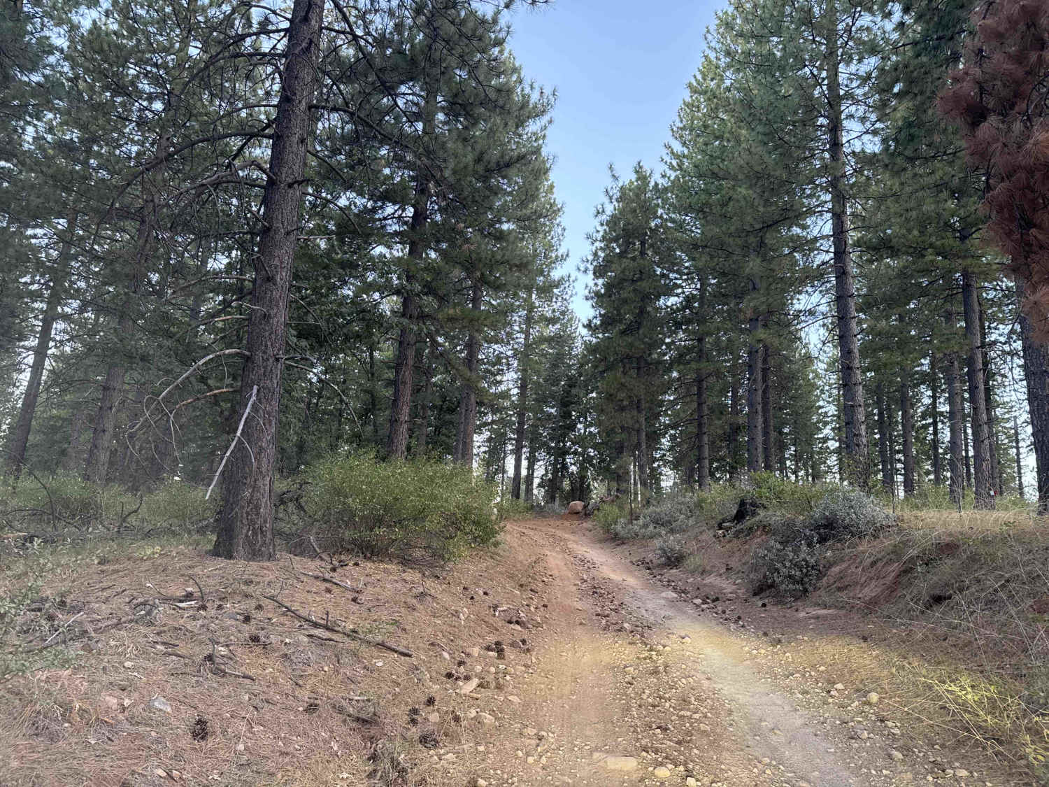
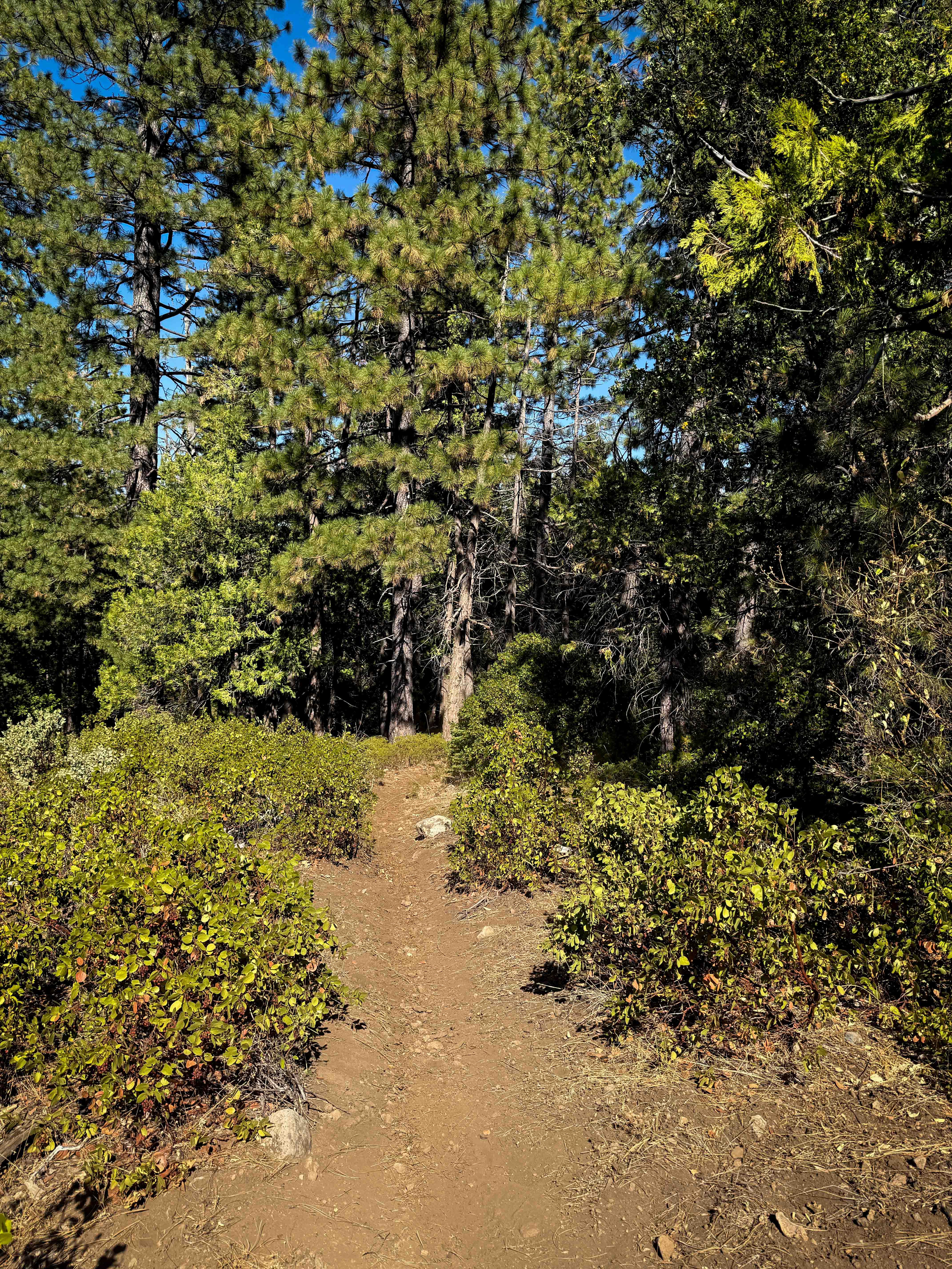
Trail Overview
Open to ALL Vehicles 4/1-12/31. Mountain Chief connects to multiple motorcycle trails within the Sugar Pine area of the Tahoe National Forest American River. This dirt road connects Foresthill Road and Sugar Pine Road. Taking in the views of deer, woodpeckers, with the fresh scent of pine is an added bonus. Brimstone OHV Campground is nearby, along with Sugar Pine, Parker Flat Trailheads.
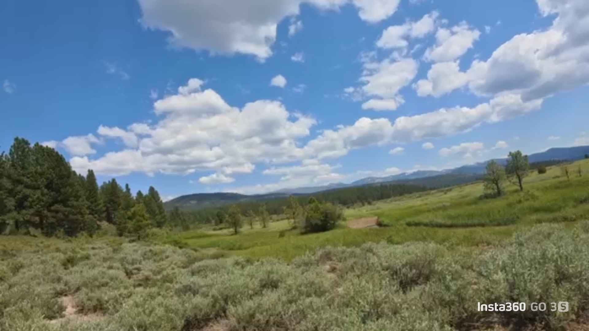
Photos of Mountain Chief - FS 10-006

Difficulty
This dirt road is easy to drive and suitable for most 4WD and high-clearance 2WD vehicles in dry or lightly wet conditions. When the ground is saturated, 4WD is recommended.
Status Reports
Mountain Chief - FS 10-006 can be accessed by the following ride types:
- High-Clearance 4x4
- SUV
- SxS (60")
- ATV (50")
- Dirt Bike
Mountain Chief - FS 10-006 Map
Popular Trails
Billy Hill's Stampede

Jail Canyon Road
JT Sand Hole
The onX Offroad Difference
onX Offroad combines trail photos, descriptions, difficulty ratings, width restrictions, seasonality, and more in a user-friendly interface. Available on all devices, with offline access and full compatibility with CarPlay and Android Auto. Discover what you’re missing today!