Dobie Meadows Road North
Total Miles
10.8
Technical Rating
Best Time
Summer, Fall, Spring
Trail Type
Full-Width Road
Accessible By
Trail Overview
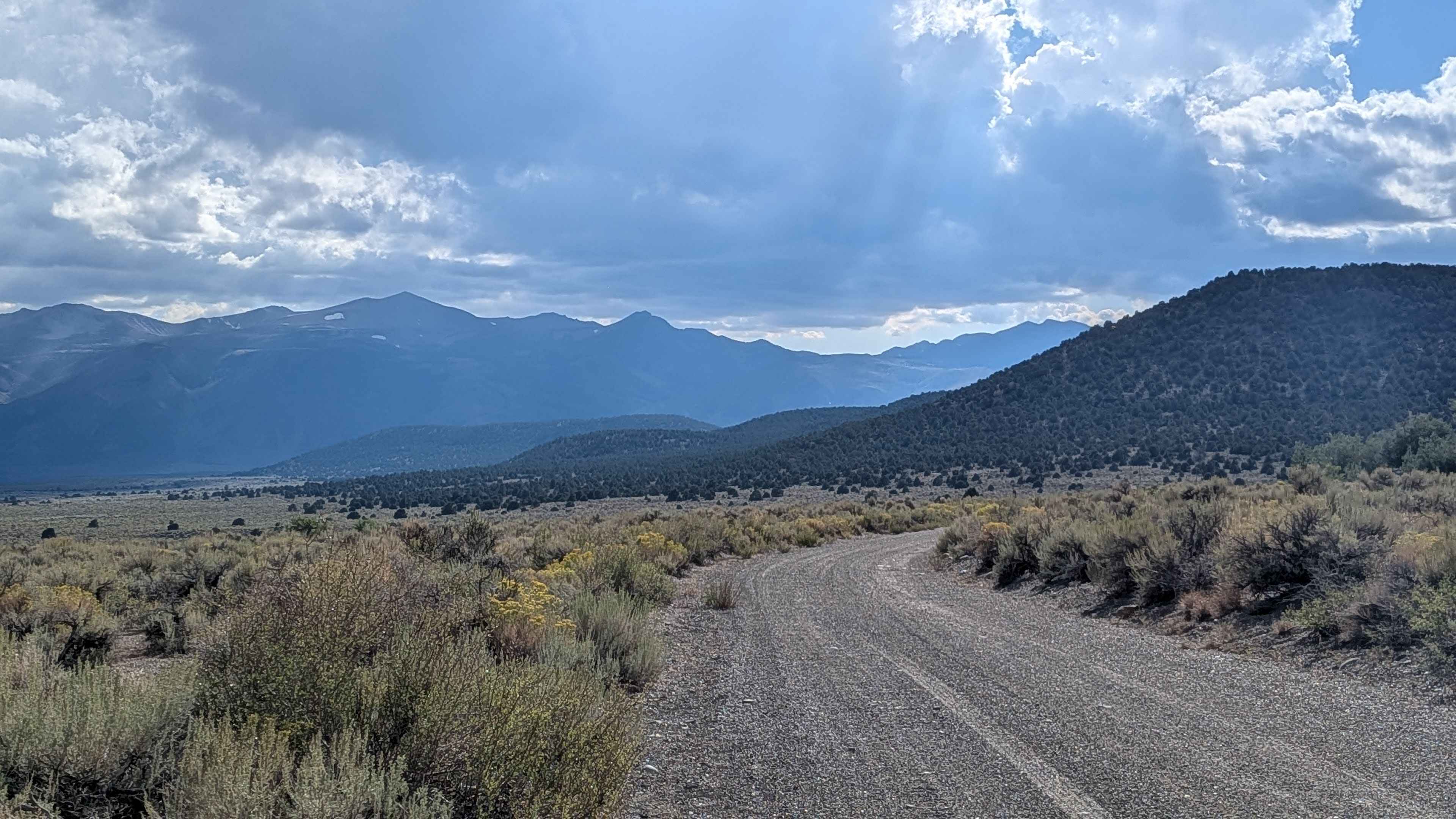
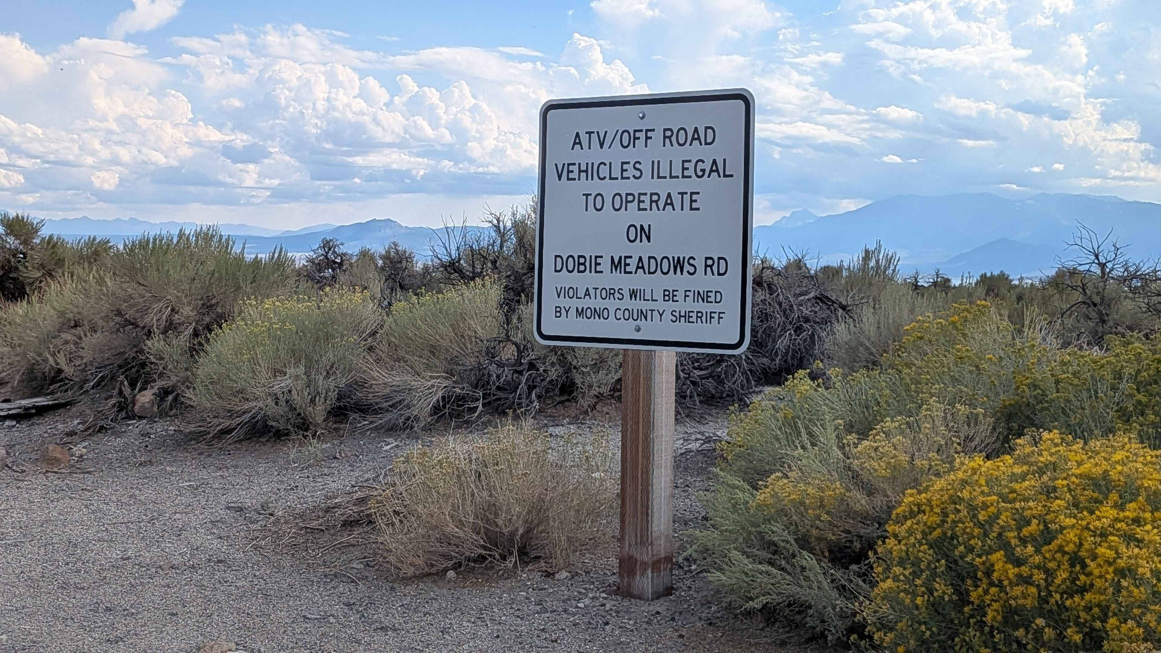
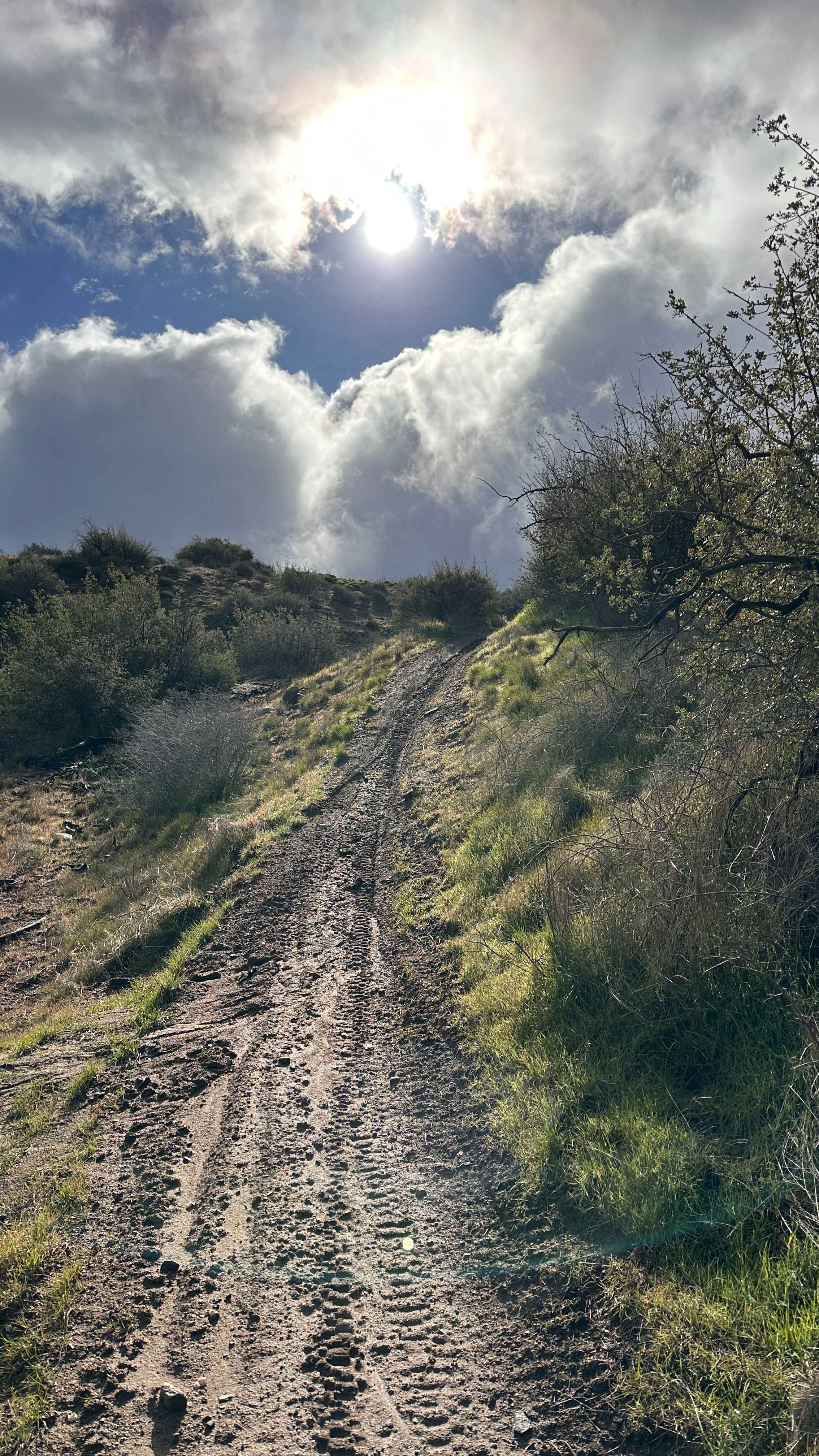
This gravel road is restricted to street-legal vehicles only, with no ATVs permitted. The route is 2.5 vehicles wide and lined with short brushes along with some taller bushes and trees, providing ample 360-degree views of the Eastern Sierras and Bodie Mountain region. The trail is posted as a rough road maintained by Mono County, and sometimes they do grade it for improved conditions. The gravel surface transitions to sand but remains relatively smooth throughout. When you make the turn and start heading southwest, you get good views of Mono Lake with the Eastern Sierra mountains behind it. There is a stone structure on the south side of the road, and the Bodie Mountain area becomes prominently visible. The southwest side of the road has been better maintained by the county through the addition of more gravel near the working ranches. Please respect the ranchers and keep your speed and dust down near the ranch areas. There is a Dobie Meadows Road South that continues southeast of Highway 167 for 20 miles.
Photos of Dobie Meadows Road North
Difficulty
This trail earns the easiest difficulty rating despite having washboards throughout the route. The gravel road surface and county maintenance make it accessible to most street-legal vehicles.
History
Dobie Meadows Road was constructed using materials quarried from the Adobe Hills Spillway, a site of ancient Pleistocene Lake Russell overflow. This lake, an ancestor of modern Mono Lake, once sent its waters through the spillway toward the Owens River. The road itself offers access to views of the Sierra Nevada and Mono Lake, traveling along the edge of the Inyo National Forest and Granite Mountain Wilderness Area.
Status Reports
Dobie Meadows Road North can be accessed by the following ride types:
- High-Clearance 4x4
- SUV
Dobie Meadows Road North Map
Popular Trails
Alphie Springs Wash
Frog Creek Road SC47

McGee Canyon West
Ruts & Roots
The onX Offroad Difference
onX Offroad combines trail photos, descriptions, difficulty ratings, width restrictions, seasonality, and more in a user-friendly interface. Available on all devices, with offline access and full compatibility with CarPlay and Android Auto. Discover what you’re missing today!