Off-Road Trails in California
Discover off-road trails in California
Learn more about Converse - 13S07/13S50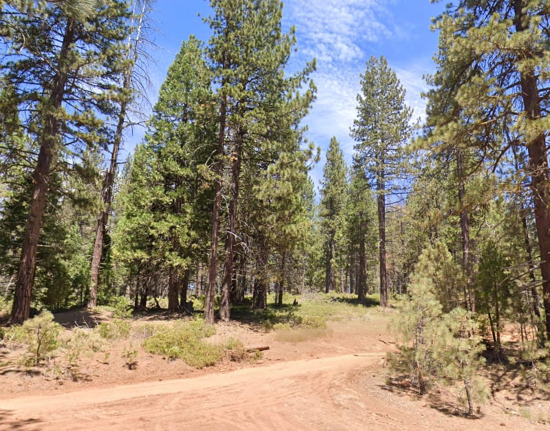
Converse - 13S07/13S50
Total Miles
2.4
Tech Rating
Easy
Best Time
Spring, Summer
Learn more about Conway Ranch Road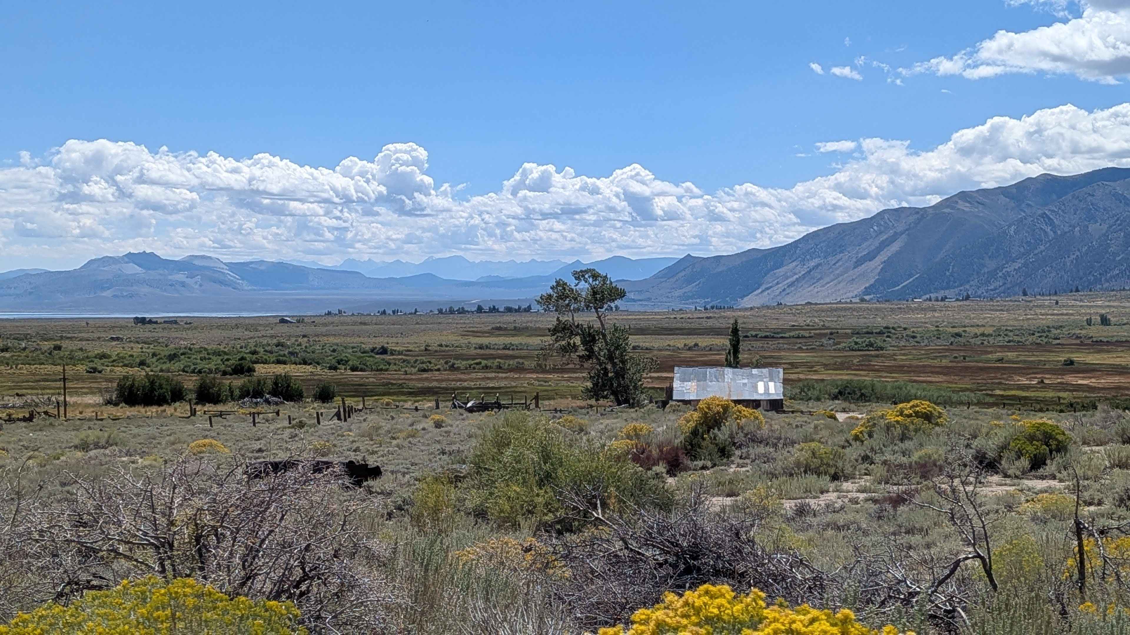
Conway Ranch Road
Total Miles
3.4
Tech Rating
Easy
Best Time
Summer, Fall, Spring
Learn more about Cookes Peak - FS 25S21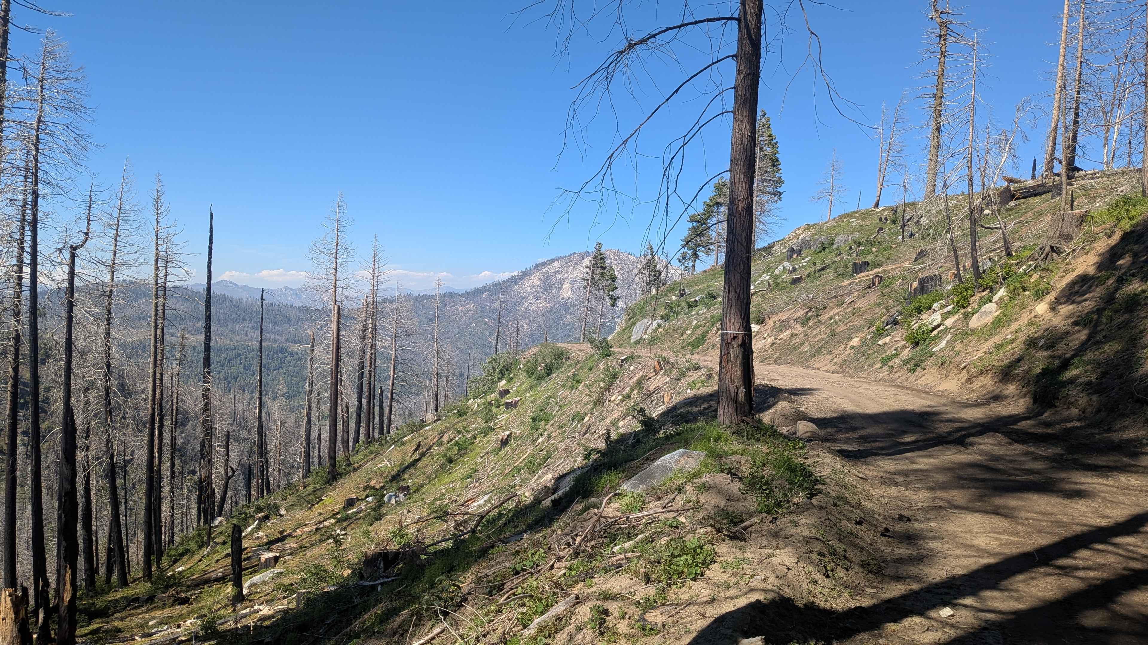
Cookes Peak - FS 25S21
Total Miles
4.3
Tech Rating
Easy
Best Time
Fall, Summer, Spring
Learn more about Copper Canyon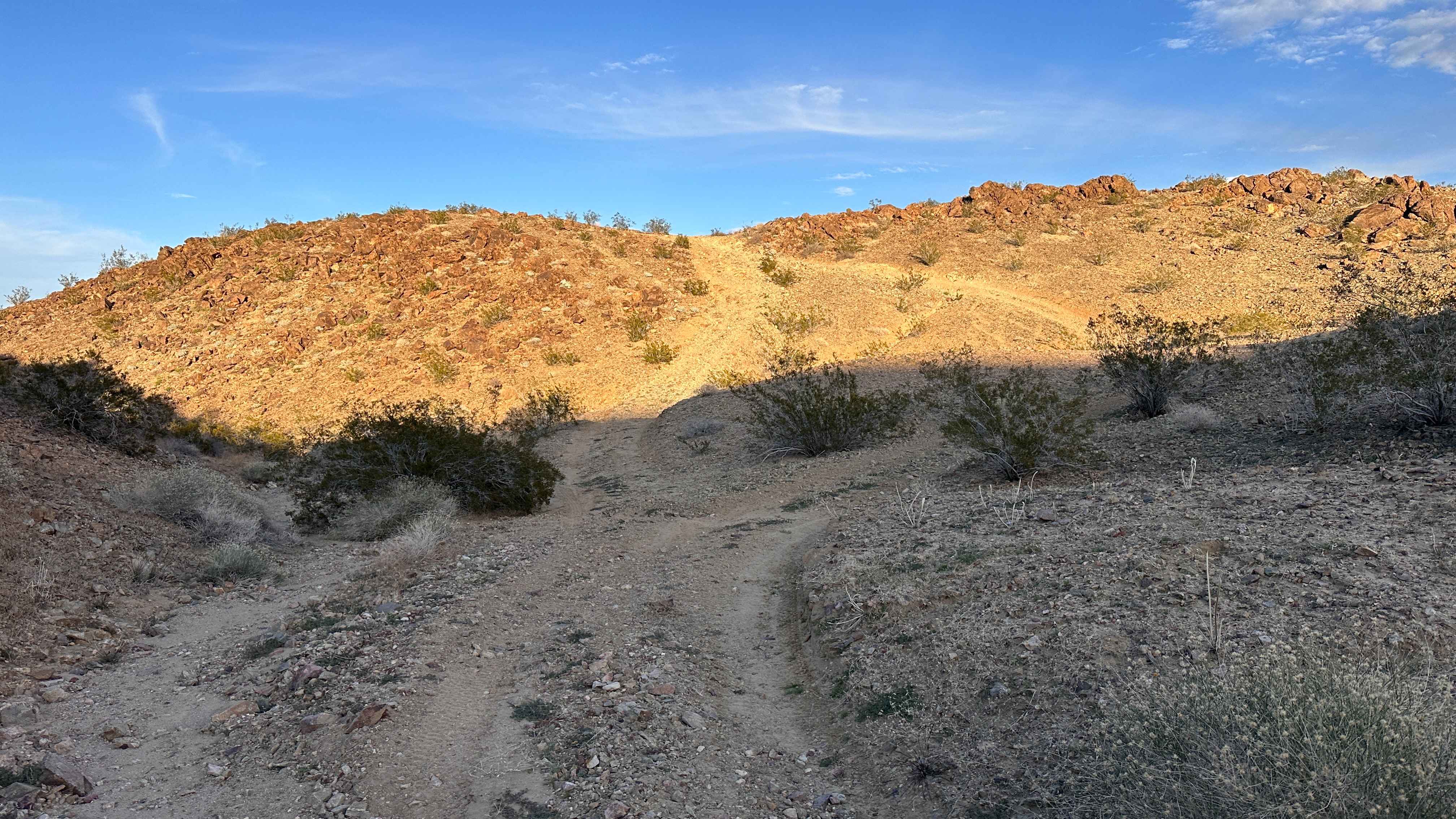
Copper Canyon
Total Miles
1.2
Tech Rating
Moderate
Best Time
Spring, Summer, Fall, Winter
Learn more about Copper Canyon Trail
Copper Canyon Trail
Total Miles
0.4
Tech Rating
Difficult
Best Time
Spring, Summer, Fall, Winter
Learn more about Corn Springs Trail
Corn Springs Trail
Total Miles
10.3
Tech Rating
Easy
Best Time
Fall, Winter, Spring
Learn more about Corral Canyon Road
Corral Canyon Road
Total Miles
4.1
Tech Rating
Easy
Best Time
Spring, Fall
Learn more about Corral Trail Alt Turns
Corral Trail Alt Turns
Total Miles
0.1
Tech Rating
Easy
Best Time
Spring, Summer, Fall
Learn more about Cottonwood Canyon Road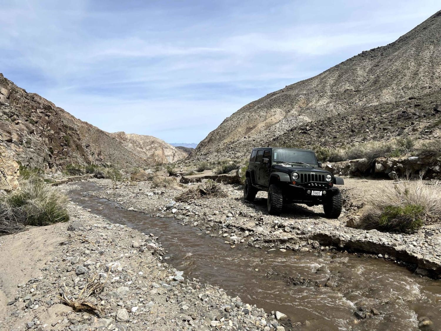
Cottonwood Canyon Road
Total Miles
19.4
Tech Rating
Moderate
Best Time
Summer, Fall
Learn more about Cottonwood Meadows Road - FS 32106
Cottonwood Meadows Road - FS 32106
Total Miles
1.6
Tech Rating
Easy
Best Time
Summer, Fall
Learn more about Cougar Buttes to Slash X Ranch Cafe
Cougar Buttes to Slash X Ranch Cafe
Total Miles
29.8
Tech Rating
Moderate
Best Time
Spring, Fall, Winter
Learn more about Count Line Road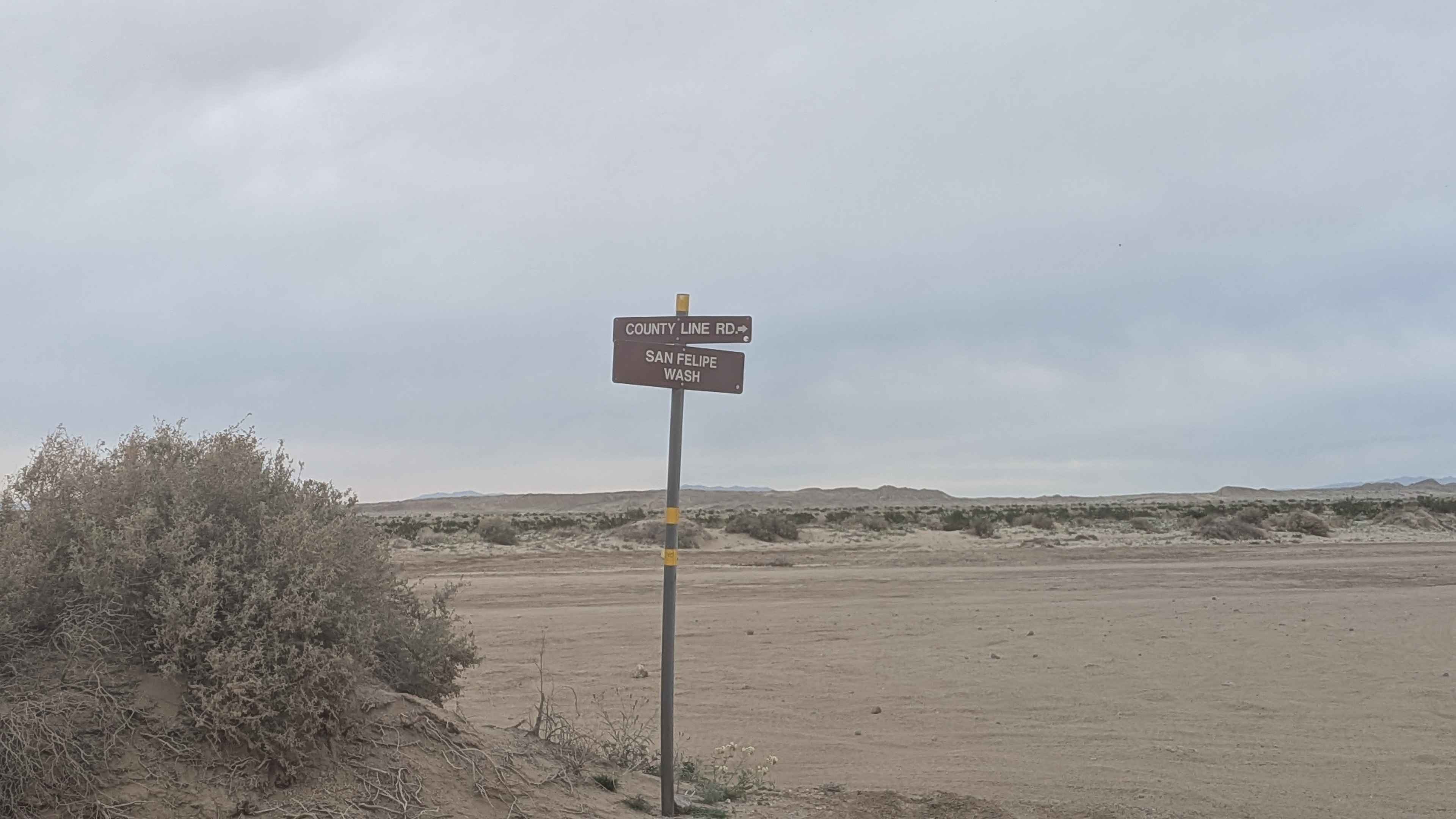
Count Line Road
Total Miles
2.6
Tech Rating
Easy
Best Time
Winter, Fall, Spring
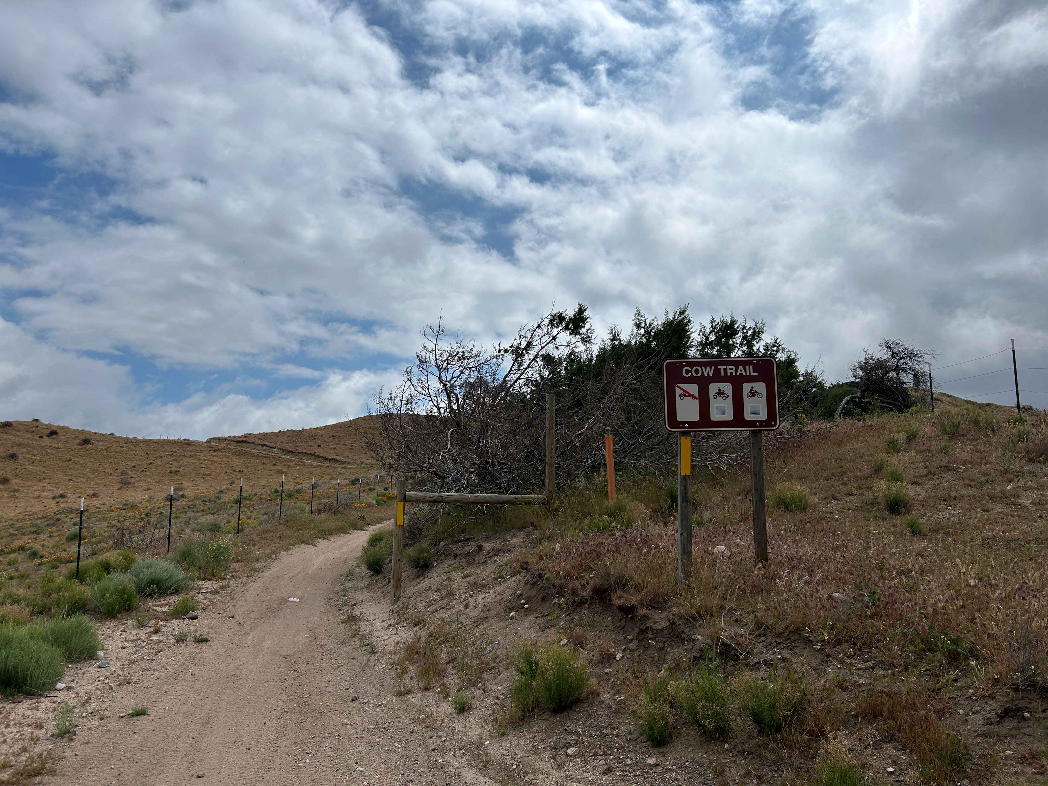
Learn more about Cow Camp Creek Road
Cow Camp Creek Road
Total Miles
1.0
Tech Rating
Easy
Best Time
Summer, Fall, Spring
Learn more about Cow Heaven Canyon Cutoff SC82
Cow Heaven Canyon Cutoff SC82
Total Miles
2.6
Tech Rating
Moderate
Best Time
Summer, Fall, Spring
Learn more about Cow Heaven Canyon Road BLM SC51
Cow Heaven Canyon Road BLM SC51
Total Miles
7.9
Tech Rating
Easy
Best Time
Fall, Summer, Spring
Learn more about Coxey Road
Coxey Road
Total Miles
7.2
Tech Rating
Easy
Best Time
Spring, Summer, Fall, Winter
ATV trails in California


UTV/side-by-side trails in California


Learn more about 3N267 Fenner Saddle (4N12)
3N267 Fenner Saddle (4N12)
Total Miles
3.8
Tech Rating
Difficult
Best Time
Spring, Summer, Fall, Winter

The onX Offroad Difference
onX Offroad combines trail photos, descriptions, difficulty ratings, width restrictions, seasonality, and more in a user-friendly interface. Available on all devices, with offline access and full compatibility with CarPlay and Android Auto. Discover what you’re missing today!