Cougar Buttes to Slash X Ranch Cafe
Total Miles
29.8
Technical Rating
Best Time
Spring, Fall, Winter
Trail Type
60" Trail
Accessible By
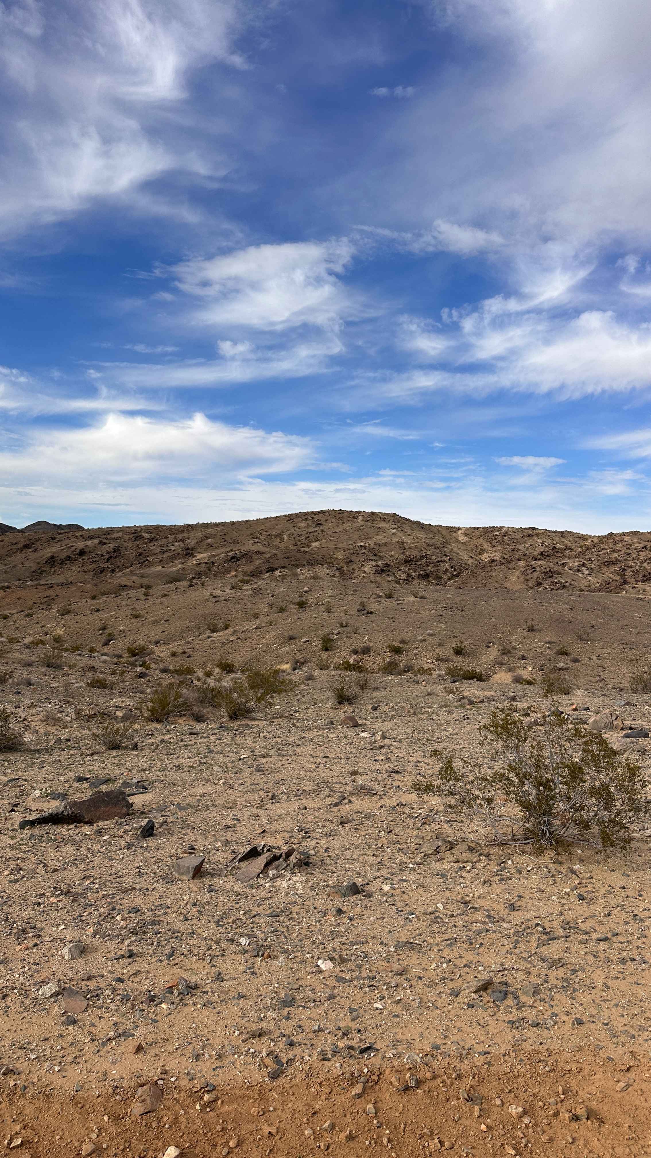
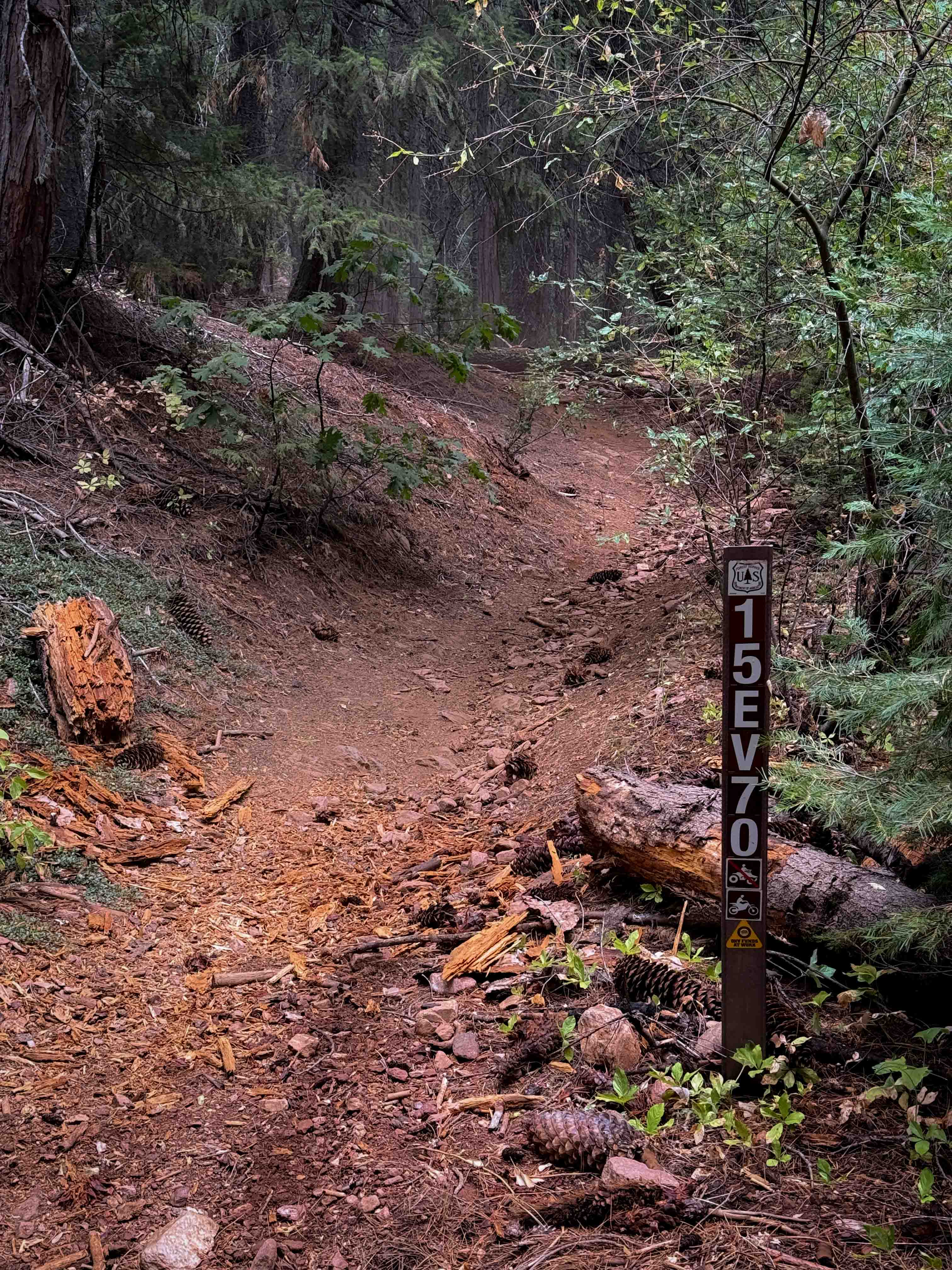
Trail Overview
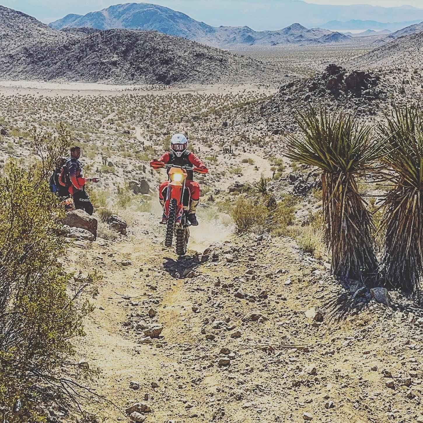
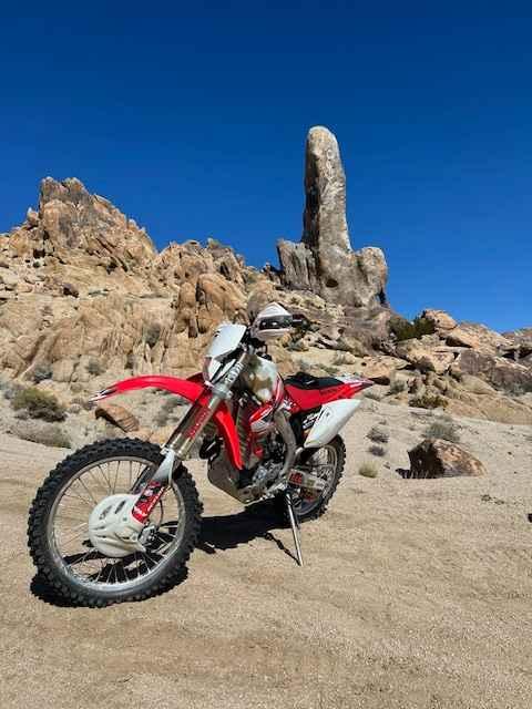
This is a challenging ride from the Cougar Buttes area in Lucerne Valley out to Slash X Ranch Cafe. The route will take you past the Hercules Finger rock formation. Expect open desert riding mixed with rocky hill climbs and a fun single track. Plan for it to take most of the day if making it a round trip, especially if stopping to eat at Slash X.
Photos of Cougar Buttes to Slash X Ranch Cafe
Difficulty
Parts of this trail are suited for motorcycle, ATV, or SXS. It's not recommended for full-width or high-clearance 4X4.
Status Reports
Cougar Buttes to Slash X Ranch Cafe can be accessed by the following ride types:
- SxS (60")
- ATV (50")
- Dirt Bike
Cougar Buttes to Slash X Ranch Cafe Map
Popular Trails
Mill Valley Spur C - FS 17N02C
Ted Kipf Road SE - BLM 721
Rocky Ridge
The onX Offroad Difference
onX Offroad combines trail photos, descriptions, difficulty ratings, width restrictions, seasonality, and more in a user-friendly interface. Available on all devices, with offline access and full compatibility with CarPlay and Android Auto. Discover what you’re missing today!